リンゼンゲリヒト周辺のアトラクション&必見スポット - トップ20
リンゼンゲリヒトには必見のスポットがたくさんあります。ハイキング愛好家やサイクリング愛好家の方は、ぜひリンゼンゲリヒトを探索してこのエリアにある20
の隠れたスポットを訪れてみてください。このエリアの必見スポットを確認し、次の冒険に出かける計画を立てましょう。
最終更新日: 10月 10, 2026
ルートヴィヒシュトゥルム(ハーネンカム)
ハイライト • 展望台
翻訳者 Google •
役立つ情報 は

ベルクガストホフ ハーネンカム
ハイライト • レストラン
翻訳者 Google •
役立つ情報 は

今すぐサインアップして、こんな場所を発見しよう
最高のシングルトラック、ピーク、その他のエキサイティングなアウトドアスポットのおすすめを受け取ろう。
ミヘルバッハ近くのカールタール自転車道
ハイライト • サイクリングロード
翻訳者 Google •
役立つ情報 は

ハーネンカム小道
ハイライト • トレイル
翻訳者 Google •
役立つ情報 は

バート・オルブのグラディアーヴェルク
ハイライト • 記念碑
Above all, these old graduation towers are impressive buildings. For example, this is 158 meters long and 18 meters high. The air around it is very salty, which should be very healthy. Almost like a holiday at the lake.
The graduation tower is in the middle of the city. So if you have enough salt, it's easy to head to your hotel, train station, car or restaurant.
翻訳者 Google •
役立つ情報 は

無料でサインアップして、さらに多くの観光スポットを発見しましょう リンゼンゲリヒトでの。
すでにアカウントをお持ちですか?
無料アカウントで今日から始めよう
次の冒険が待っています。
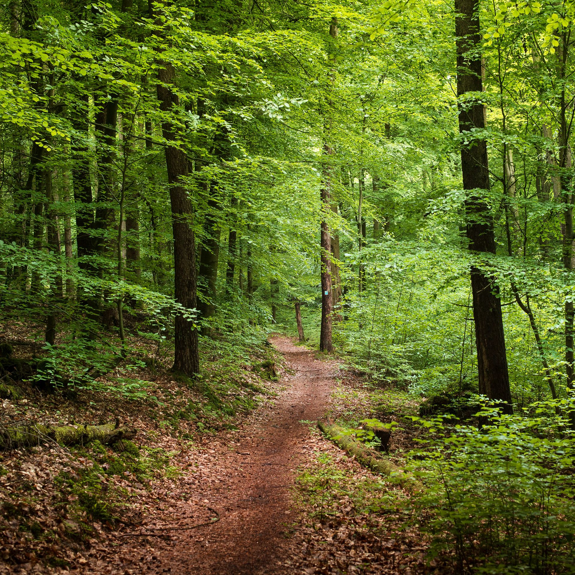
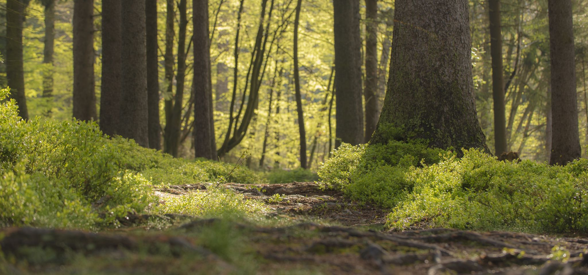
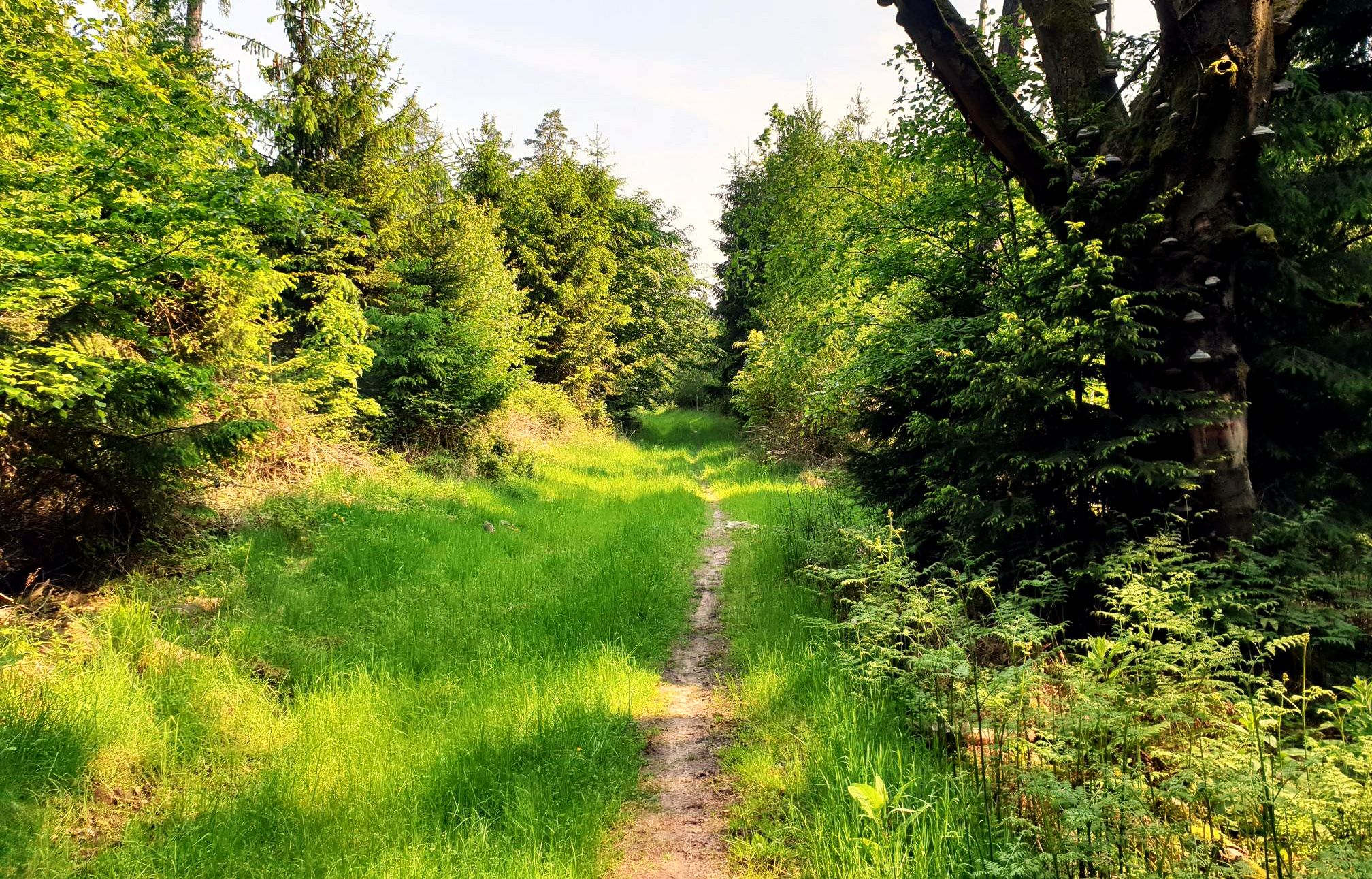
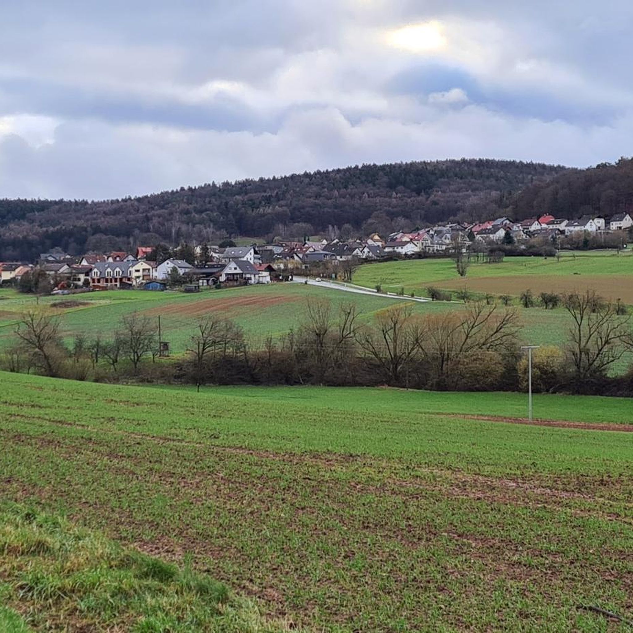

コミュニティからのヒント


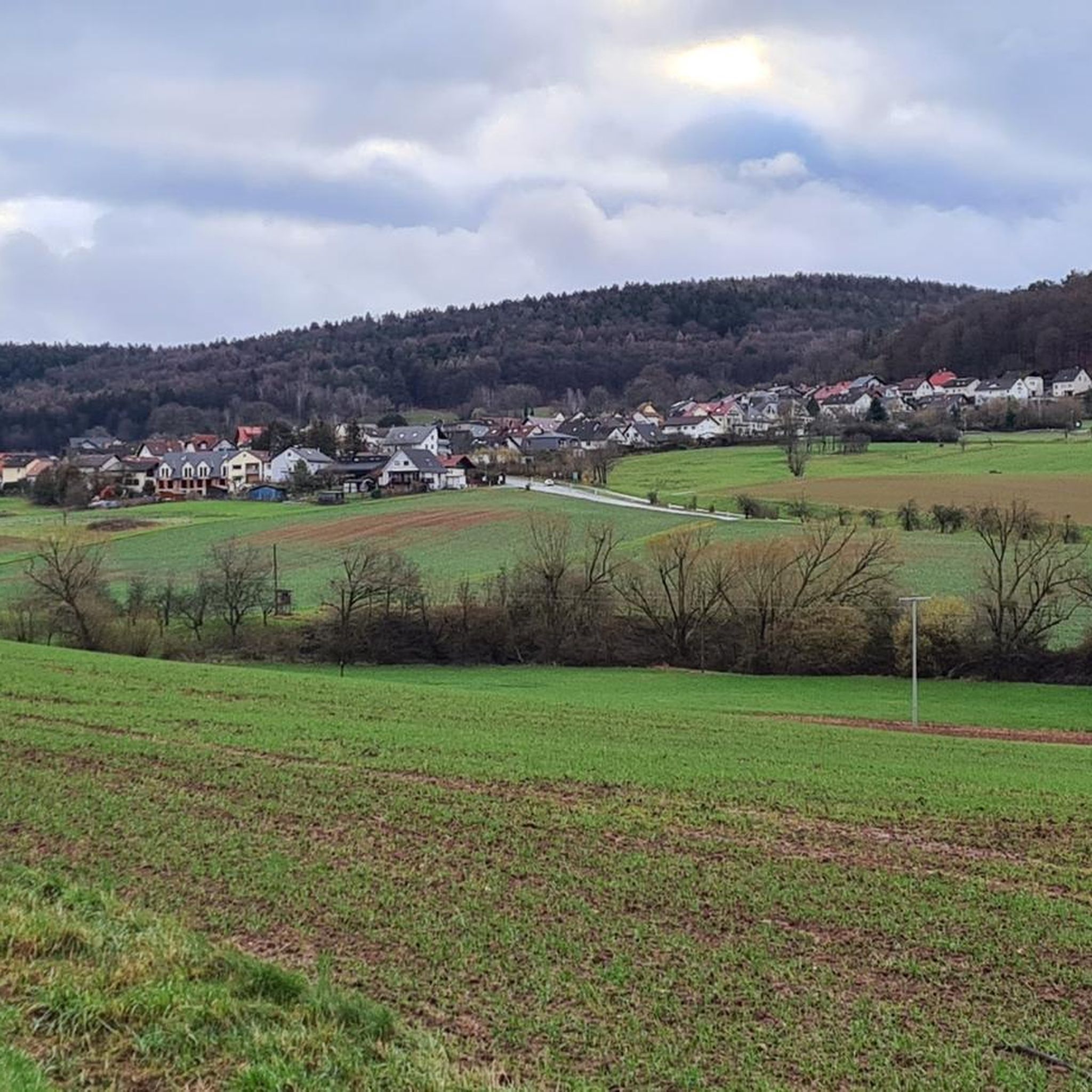
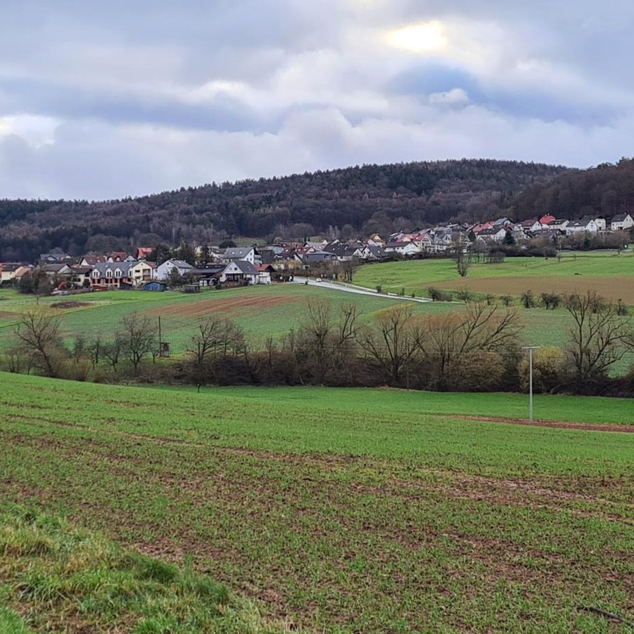
Of course, it is a lot of fun to cycle along the great cycle path along the Kahl when the sun is shining.
6
1
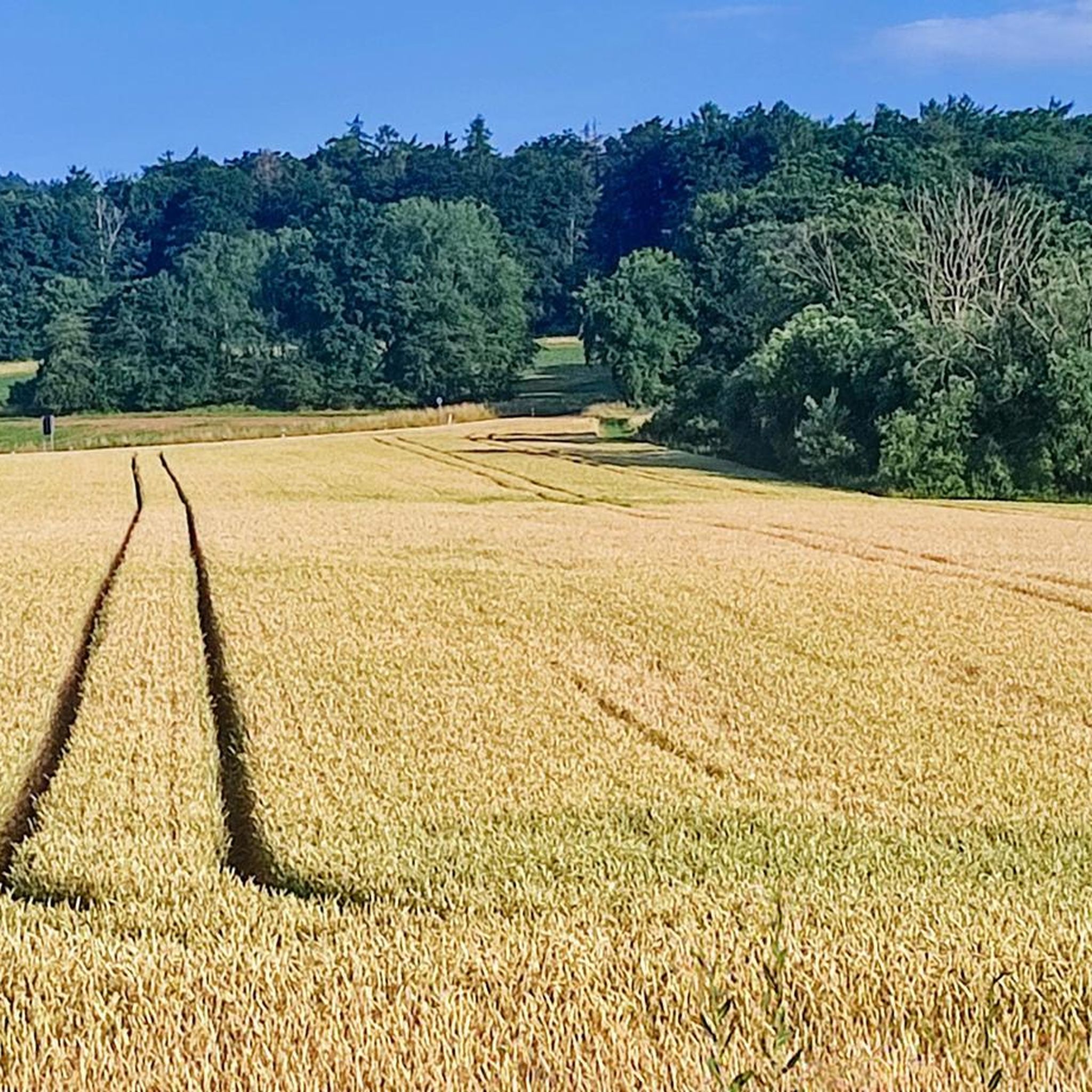
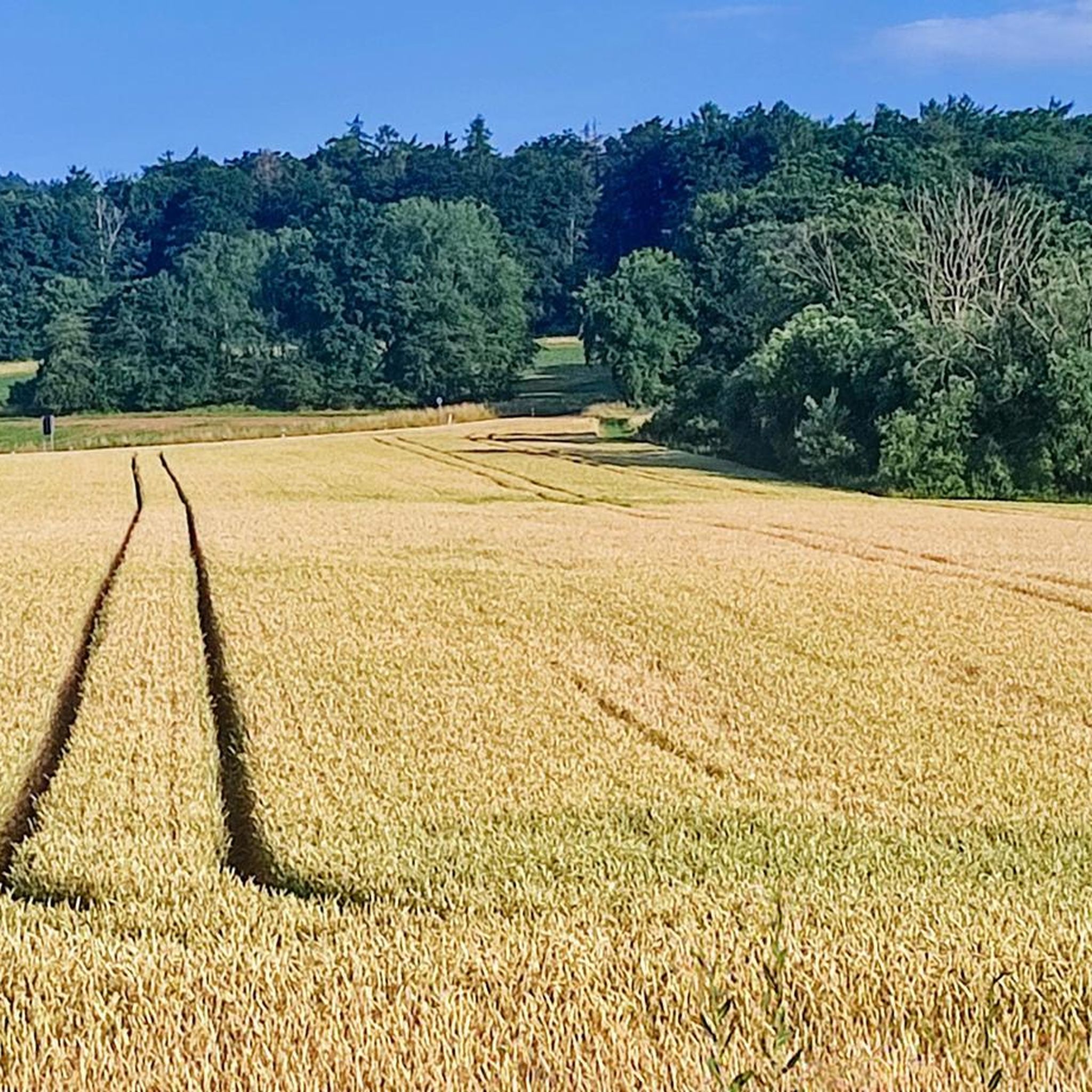
The path to the Hahnenkamm is very interesting, especially because of the boundary stones.
7
0

A beautiful cycle path that leads along the Kahl
3
1


the Kahltal, from the source at the Bamberger Mühle to the mouth, is very easy to navigate. The cycle path is also suitable for families. There are places to stop for refreshments and lots of nature along the way.
5
1

large graduation tower with a damp and shady central aisle for hot days
16
1

A path that is simply unexpected in this way ... fantastically beautiful!
15
0
リンゼンゲリヒトでのの人気観光スポット

komootモバイルアプリでインスピレーションを得よう


さらに探索
まだ探しているハイライトが見つかりませんか?他の地域のトップアトラクションのガイドを見てみましょう:
