ヴェサーベルクラントのおすすめウォーキング&ハイキングルート
4.6
(13493)
48,486
ハイカー
15,646
ハイキング
ヴェサーベルクラントでのハイキングに出かけて、ニーダーザクセンのこのエリアを探索してみませんか?このガイドでご紹介するのは、komootがヴェサーベルクラントでのハイキング・ウォーキングルートのコレクション全体を評価して選び抜いた、このエリアの人気ハイキングルートです。あなたに合った でのハイキングを見つけるには、他のユーザーがアップロードした役立つ情報や写真を閲覧し、各ルートに関するみんなの意見やコメントを参考にしましょう。
最終更新日: 9月 29, 2026
4.6
(662)
1,954
ハイカー
7.09km
02:00
150m
150m
初級者向けハイキング. あらゆるフィットネスレベルに適しています。 進みやすいルートです。あらゆるスキルレベルに適しています。
4.6
(573)
1,640
ハイカー
6.00km
01:41
120m
120m
初級者向けハイキング. あらゆるフィットネスレベルに適しています。 進みやすいルートです。あらゆるスキルレベルに適しています。

4.7
(560)
1,549
ハイカー
13.7km
03:54
310m
310m
中程度のハイキング. ある程度のフィットネスレベルが必要です。 進みやすいルートです。あらゆるスキルレベルに適しています。
4.7
(593)
1,721
ハイカー
7.54km
02:15
210m
220m
中程度のハイキング. ある程度のフィットネスレベルが必要です。 全般的に進みやすいルートです。安定して歩行できる技術が必要です。
4.7
(406)
1,207
ハイカー
10.6km
03:02
240m
230m
中程度のハイキング. ある程度のフィットネスレベルが必要です。 全般的に進みやすいルートです。安定して歩行できる技術が必要です。
4.7
(341)
1,036
ハイカー
11.1km
03:05
210m
210m
中程度のハイキング. ある程度のフィットネスレベルが必要です。 進みやすいルートです。あらゆるスキルレベルに適しています。
4.7
(240)
669
ハイカー
12.2km
03:33
310m
310m
中程度のハイキング. ある程度のフィットネスレベルが必要です。 進みやすいルートです。あらゆるスキルレベルに適しています。
4.7
(224)
617
ハイカー
10.9km
03:13
300m
300m
中程度のハイキング. ある程度のフィットネスレベルが必要です。 進みやすいルートです。あらゆるスキルレベルに適しています。
4.7
(187)
650
ハイカー
17.1km
04:51
380m
380m
中程度のハイキング. ある程度のフィットネスレベルが必要です。 進みやすいルートです。あらゆるスキルレベルに適しています。
4.7
(265)
733
ハイカー
19.1km
05:26
440m
430m
難しいハイキング. 標準以上のフィットネスレベルが必要です。 進みやすいルートです。あらゆるスキルレベルに適しています。
さらに多くのルートや他のユーザーのおすすめ情報を確認できます。
すでにアカウントをお持ちですか?
おすすめのツアーは他のkomootユーザーが実際に経験した何千ものアクティビティに基づいています。
無料アカウントで今日から始めよう
次の冒険が待っています。
ヴェサーベルクラント周辺で人気
なはメースランドの脱名のシェールドアルドルームの関方
ロクム=フォルケンローダの巡礼路を、寺院から寺院へ

11ヘッセントレイル-田舎をまたがる
自然と童話 - フラウ・ホッレ・トレイルの8ステージ
德国の妖精の路をハイキングで楽しむ素敵な日々
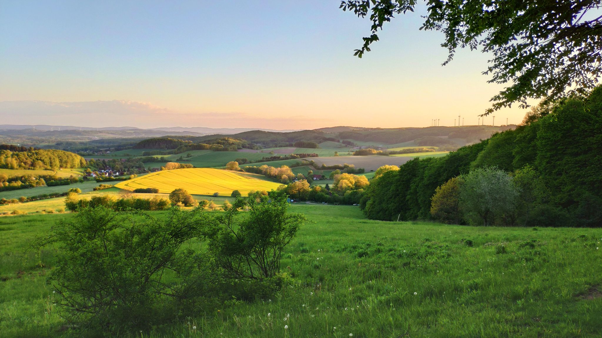
ドイツのリッペル・ベルクランドの丘と楽しみ-ハンザ・トレイル6ステージ
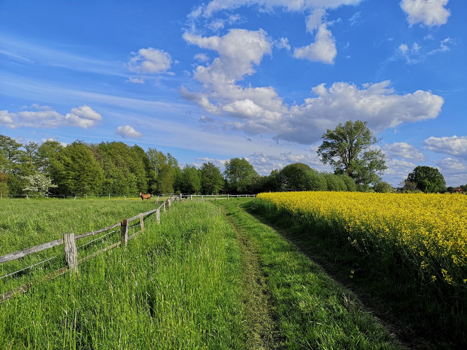
さわやかな丘と緑の森 - ドイツのブッケバーグトレイルでハイキング
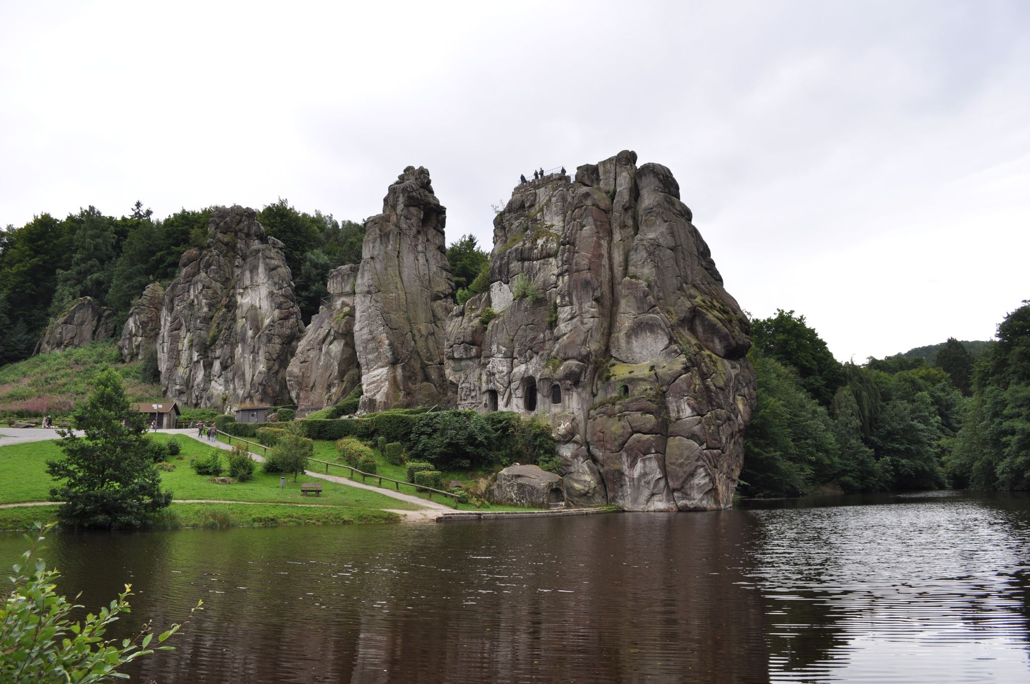
中山地の歯車ハイキング-エッゲヴェグ
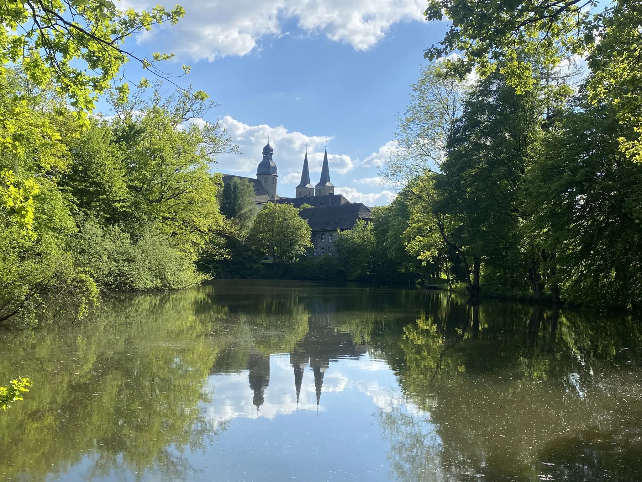
Weg der Stille - Ökumenischer Pilgerweg
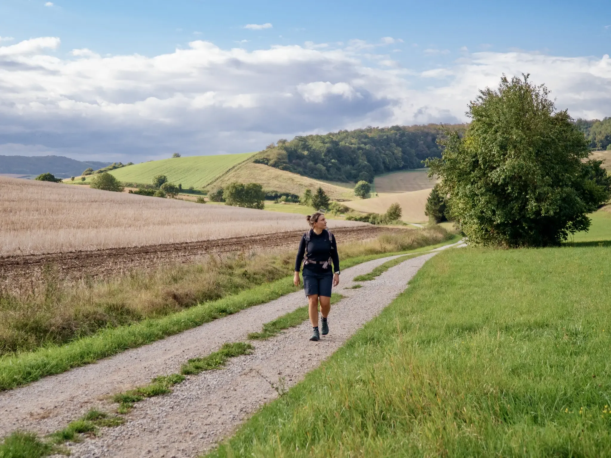
A hidden gem in the Weserbergland: hiking in the Leine Uplands
ヴェサーベルクラントでのの他の冒険


コミュニティからのヒント

「パルケット島」の詳細については、以下をご覧ください: https://nieheimer-kunstpfad.de/3-parkettinsel/
0
0

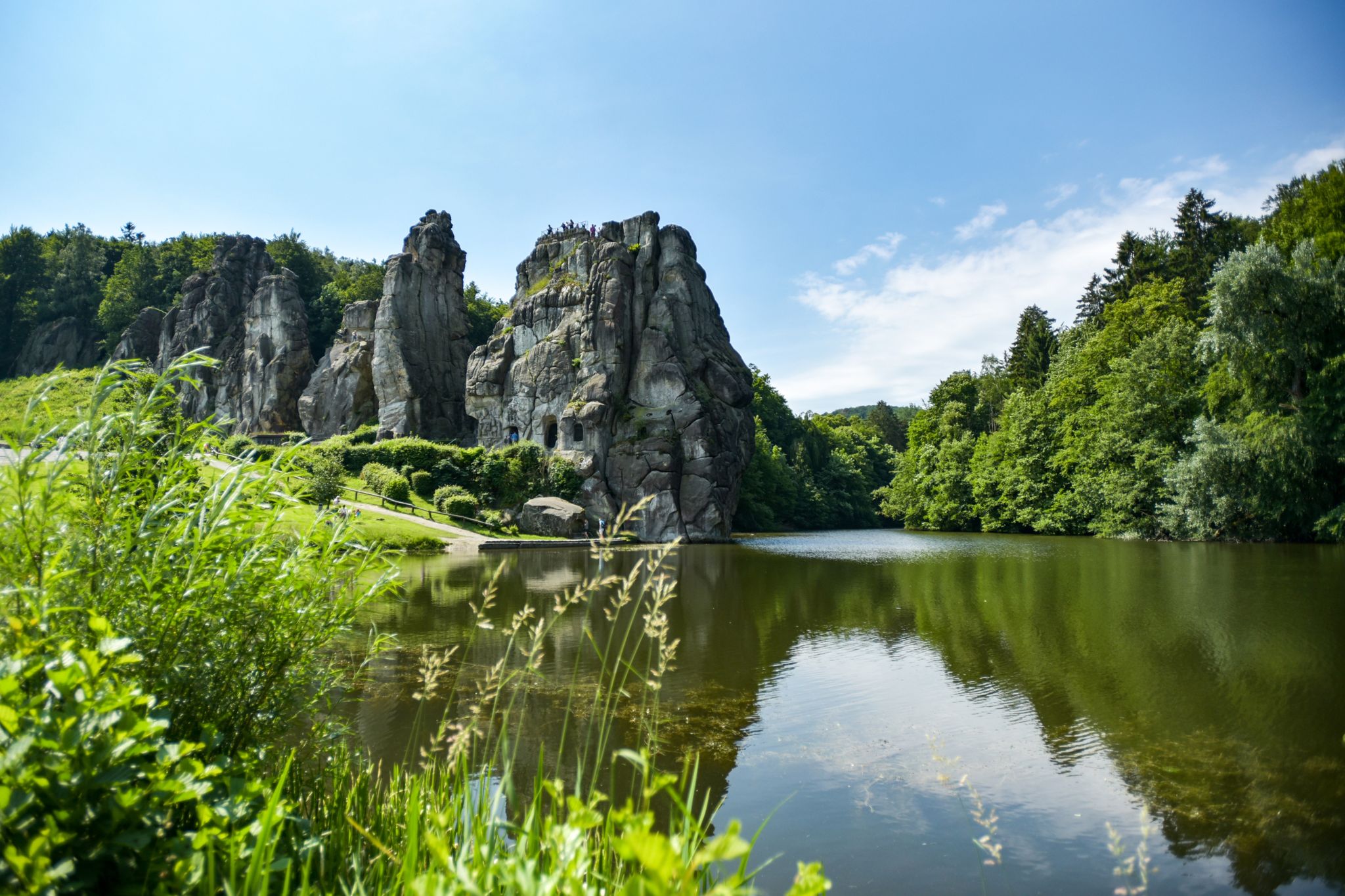
The Springsteine in the Weserbergland region are a striking rock formation of ancient sandstone and limestone, rising jagged and bizarre from the wooded ridge near Deckbergen. Between narrow crevices, small caves, and steep rock outcrops, an impressive piece of geological history is revealed, providing a habitat for bats, among other creatures. The name "Springsteine" derives from their once prominent location, visible from afar, when they stood like prominent landmarks above the valley. Today, narrow paths wind through them, making the Springsteine a particularly attractive destination for hikers who appreciate geological features, tranquility, and unusual natural formations.
0
0

At first glance it looks like it's made of stone, but it's actually made of wood.
1
0
The avenue is currently closed due to the possibility of falling branches; a detour is signposted.
1
0

In blueberry season, this is the place to be. Blueberry plants as far as the eye can see.
2
0


The view from the Kaiser-Karls-Turm is not to be missed! Every step is worth it for the great panoramic view of Bad Driburg.
10
0
The Bollerwienquelle has a small spring basin washed into the rock. It looks quite romantic.
7
0
ヴェサーベルクラントでのの人気ルート

komootモバイルアプリでインスピレーションを得よう


さらに探索
他の地域の最高のハイキングを見てみましょう。
