ゴルジュのおすすめウォーキング&ハイキングルート
4.9
(68)
778
ハイカー
14
ハイキング
ゴルジュでのハイキングに出かけて、ルーマニアのこのエリアを探索してみませんか?このガイドでご紹介するのは、komootがゴルジュでのハイキング・ウォーキングルートのコレクション全体を評価して選び抜いた、このエリアの人気ハイキングルートです。あなたに合った でのハイキングを見つけるには、他のユーザーがアップロードした役立つ情報や写真を閲覧し、各ルートに関するみんなの意見やコメントを参考にしましょう。
最終更新日: 10月 18, 2026
4.8
(12)
105
ハイカー
10.1km
04:19
510m
510m
難しいハイキング. ある程度のフィットネスレベルが必要です。 安定して歩行できる技術、丈夫な靴、高標高地での登山経験が必要です。
5.0
(6)
94
ハイカー
12.5km
06:15
1,040m
1,040m
難しいハイキング. 標準以上のフィットネスレベルが必要です。 全般的に進みやすいルートです。安定して歩行できる技術が必要です。

5.0
(8)
126
ハイカー
6.70km
03:09
460m
460m
中程度のハイキング. ある程度のフィットネスレベルが必要です。 全般的に進みやすいルートです。安定して歩行できる技術が必要です。
5.0
(4)
48
ハイカー
10.9km
05:32
870m
870m
難しいハイキング. 標準以上のフィットネスレベルが必要です。 全般的に進みやすいルートです。安定して歩行できる技術が必要です。
4.6
(5)
27
ハイカー
15.8km
06:55
890m
890m
難しいハイキング. 標準以上のフィットネスレベルが必要です。 安定して歩行できる技術、丈夫な靴、高標高地での登山経験が必要です。
5.0
(1)
38
ハイカー
18.7km
06:55
990m
990m
難しいハイキング. 標準以上のフィットネスレベルが必要です。 全般的に進みやすいルートです。安定して歩行できる技術が必要です。
49
ハイカー
7.76km
04:31
800m
800m
中程度のハイキング. ある程度のフィットネスレベルが必要です。 全般的に進みやすいルートです。安定して歩行できる技術が必要です。
5.0
(2)
11
ハイカー
15.4km
06:09
910m
910m
難しいハイキング. 標準以上のフィットネスレベルが必要です。 全般的に進みやすいルートです。安定して歩行できる技術が必要です。
6
ハイカー
10.2km
05:21
870m
870m
難しいハイキング. 標準以上のフィットネスレベルが必要です。 全般的に進みやすいルートです。安定して歩行できる技術が必要です。
5
ハイカー
8.26km
02:48
420m
420m
中程度のハイキング. ある程度のフィットネスレベルが必要です。 進みやすいルートです。あらゆるスキルレベルに適しています。
さらに多くのルートや他のユーザーのおすすめ情報を確認できます。
すでにアカウントをお持ちですか?
おすすめのツアーは他のkomootユーザーが実際に経験した何千ものアクティビティに基づいています。
無料アカウントで今日から始めよう
次の冒険が待っています。
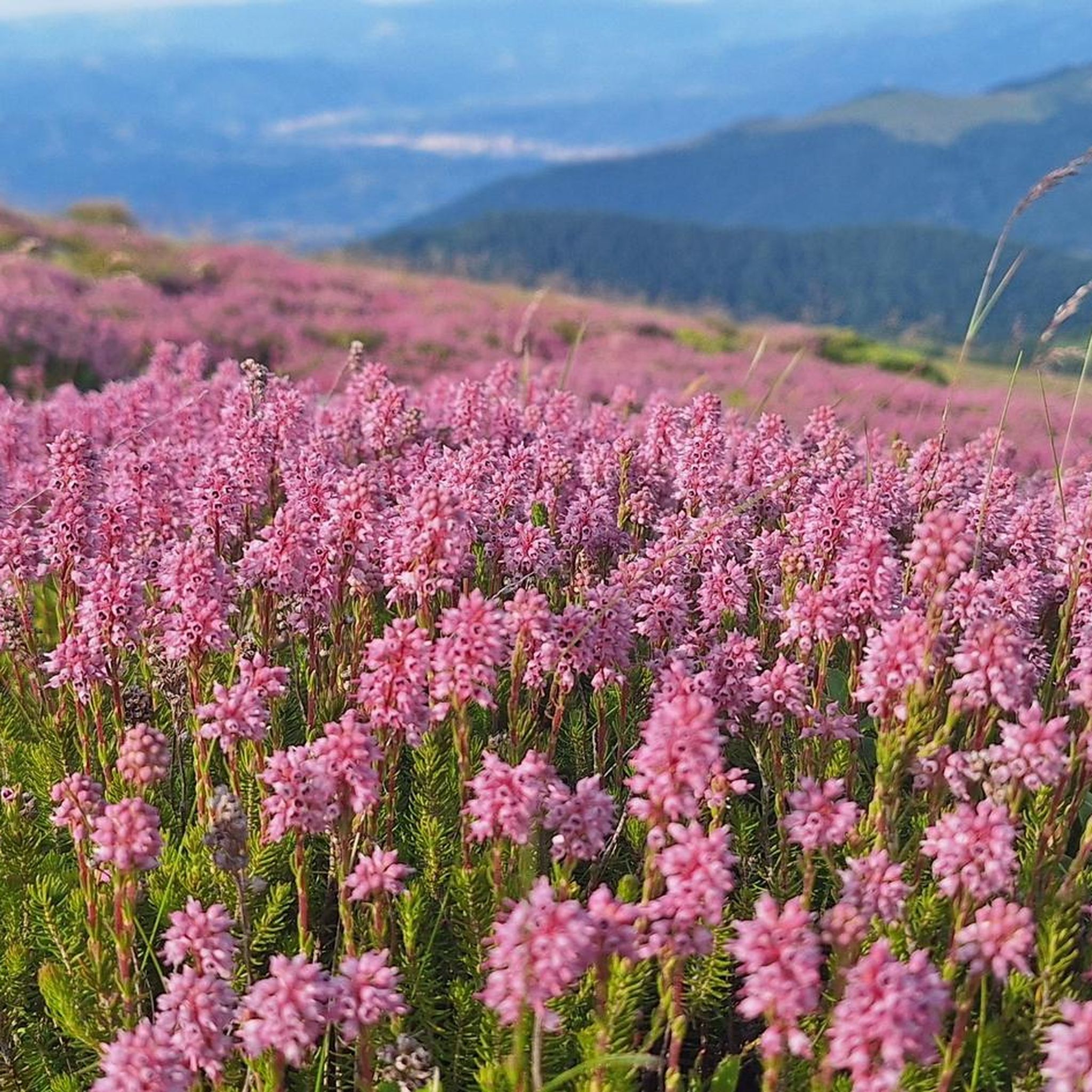
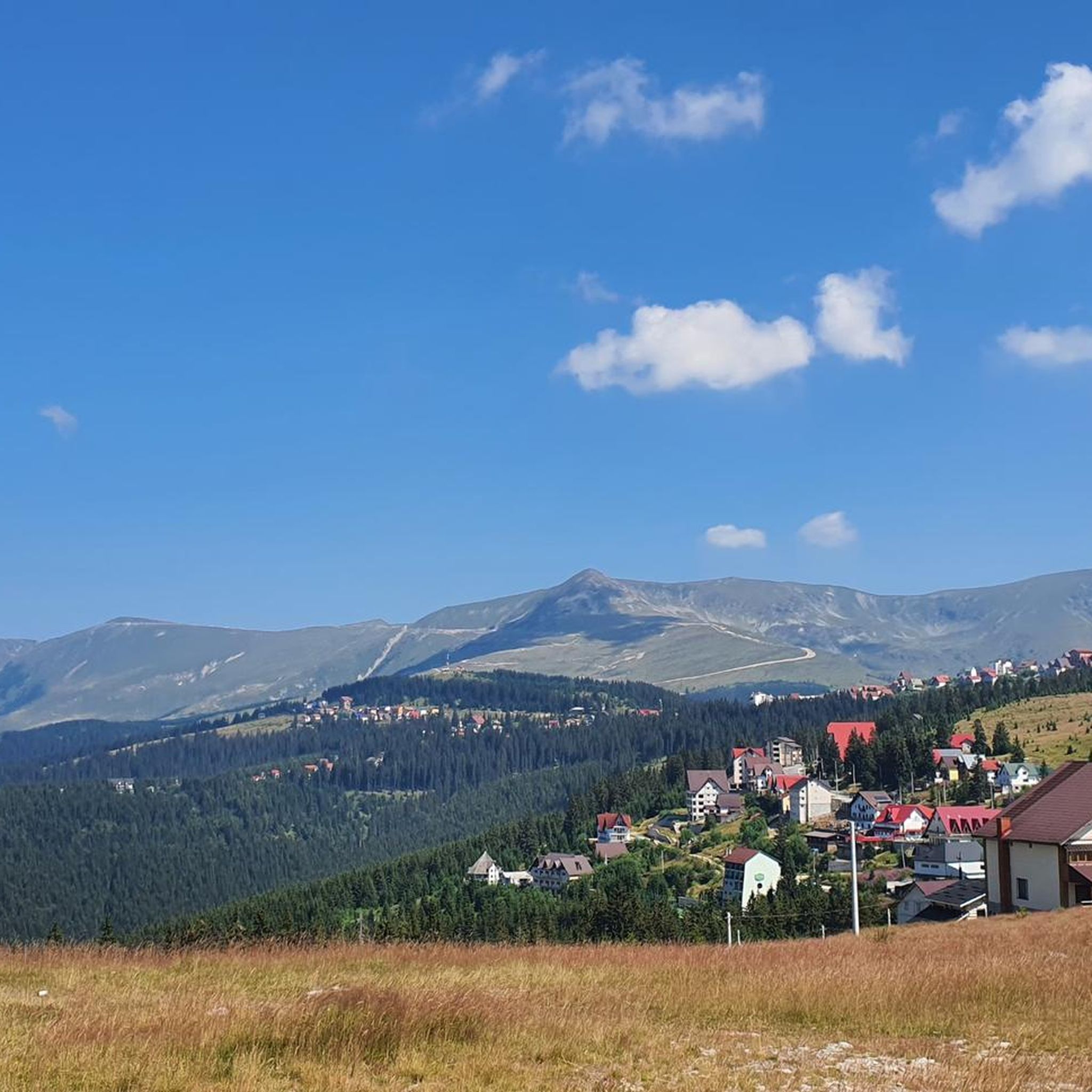
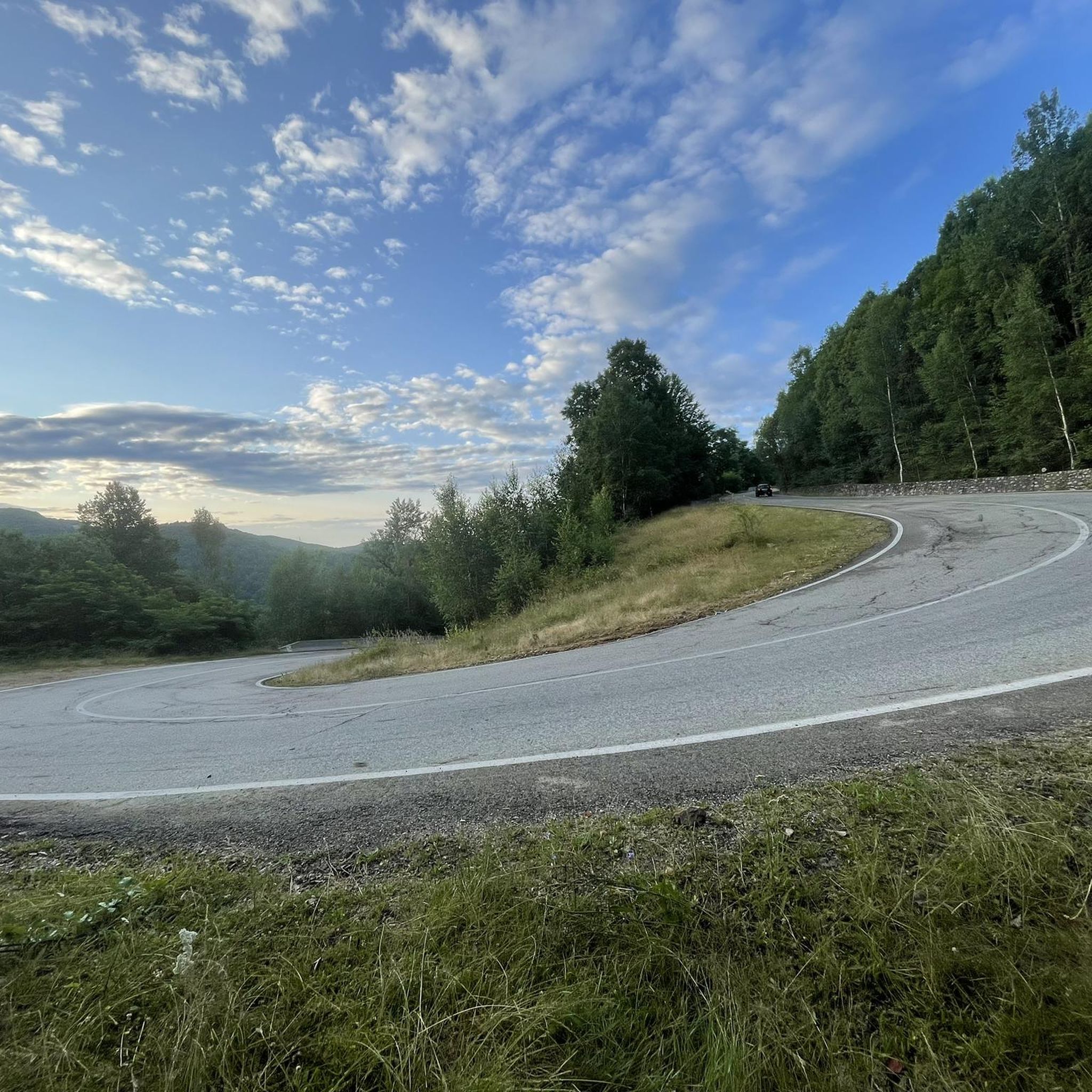
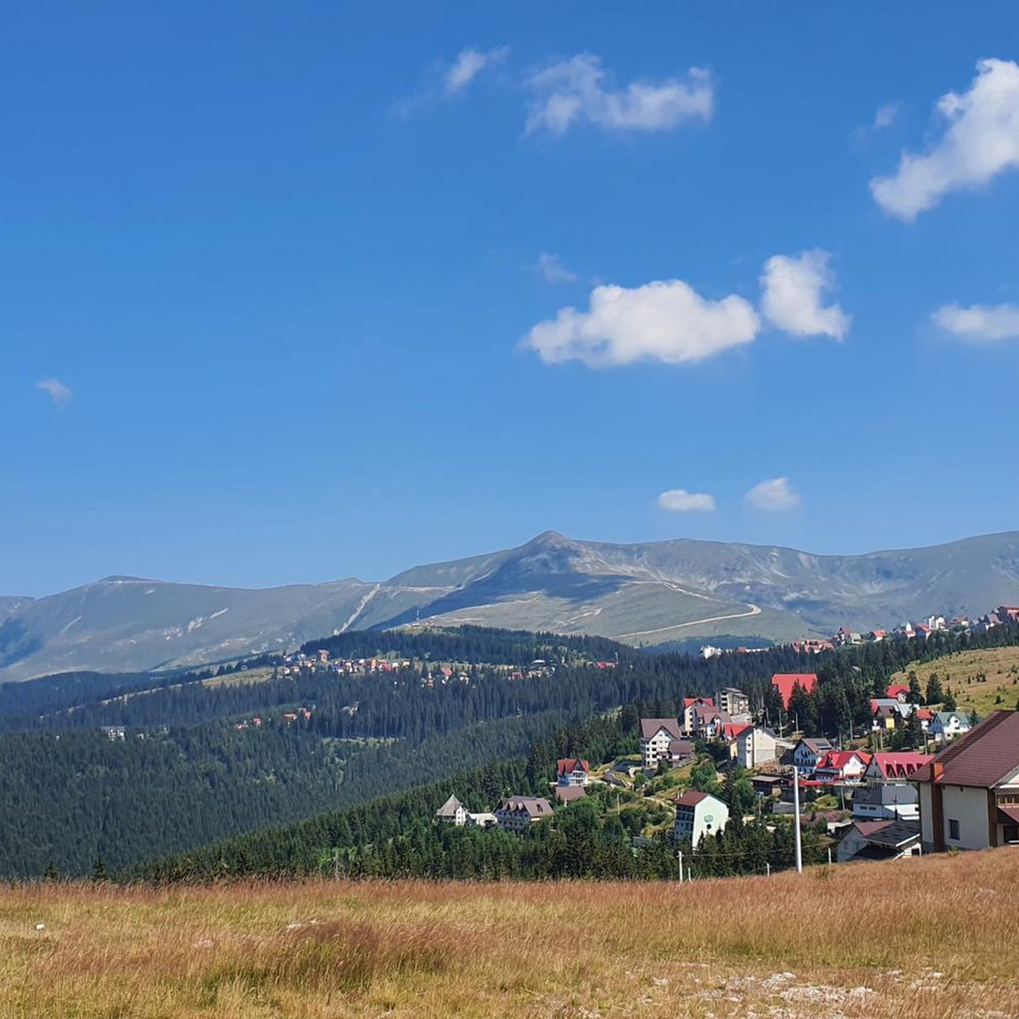
コミュニティからのヒント


Gentle ascent over well-marked and paved paths.
0
0

The 383 km² Retezat National Park (Parcul Național Retezat) is a national park in the high mountains of the Carpathians in Romania. It was founded in 1935 as the first national park in the country and is located in the Retezat Mountains, in the west of the Southern Carpathians. Since 1979, part of the national park has been designated a UNESCO biosphere reserve. It has the WDPA ID 861.[1] 104.4 km² of the core zone of the national park are certified as so-called "wilderness" by the European Wilderness Society and belong to the network of European wilderness conservation areas. In 2008, the Retezat National Park was awarded the European Diploma for Protected Areas by the Council of Europe.
0
0

Welcome to our perfect destination for outdoor enthusiasts! Explore our scenic hiking trails, enjoy our exciting mountain biking trails, and relax with a sunrise yoga session. After a busy day, refresh yourself with our local craft beers and indulge in our award-winning regional wines. Whether it's a family getaway, an adventure with friends, or a solo retreat, our venue offers an immersive nature experience, combined with unforgettable gastronomic pleasures. Prepare to experience moments of relaxation, discovery and delights, all in an enchanting setting.
0
0

Nice little stop before daring the climb. There is also a source to fill up the bottle 😁
0
0
When you get to the top, you will be rewarded with the view for the effort!😁 But the weather can change quickly. We started in the most beautiful sunshine and on the descent we couldn't see our hands in front of our eyes, it was so foggy.
0
0

Beautiful mountain lake that can be easily reached with hiking equipment in good weather. We first hiked over the summit of Setea Mare and then descended from this side to the lake. The path here is not that steep. We found the descent via this route more pleasant as it was directly from the first sign. The mountain lake invites you to linger in good weather, we also saw other hikers with tents who stayed here.
0
0
Beautiful mountain lake that can be easily reached with hiking equipment in good weather. We first hiked over the summit of Setea Mare and then descended from this side to the lake. The path here is not that steep. We found the descent via this route more pleasant as it was directly from the first sign. The mountain lake invites you to linger in good weather, we also saw other hikers with tents who stayed here.
0
0
ゴルジュでのの人気観光スポット

komootモバイルアプリでインスピレーションを得よう


探していたものは見つかりませんでしたか?
ゴルジュの下にある他のハイキングをチェックして、目的地で完璧なルートを見つけましょう。
さらに探索
他の地域の最高のハイキングを見てみましょう。
