コバスナのおすすめウォーキング&ハイキングルート
4.5
(59)
463
ハイカー
26
ハイキング
コバスナでのハイキングに出かけて、ルーマニアのこのエリアを探索してみませんか?このガイドでご紹介するのは、komootがコバスナでのハイキング・ウォーキングルートのコレクション全体を評価して選び抜いた、このエリアの人気ハイキングルートです。あなたに合った でのハイキングを見つけるには、他のユーザーがアップロードした役立つ情報や写真を閲覧し、各ルートに関するみんなの意見やコメントを参考にしましょう。
最終更新日: 9月 7, 2026
4.8
(14)
106
ハイカー
9.06km
02:36
200m
200m
中程度のハイキング. ある程度のフィットネスレベルが必要です。 全般的に進みやすいルートです。安定して歩行できる技術が必要です。
5.0
(2)
22
ハイカー
10.1km
03:07
360m
360m
中程度のハイキング. ある程度のフィットネスレベルが必要です。 進みやすいルートです。あらゆるスキルレベルに適しています。

23
ハイカー
16.0km
05:12
720m
720m
難しいハイキング. 標準以上のフィットネスレベルが必要です。 全般的に進みやすいルートです。安定して歩行できる技術が必要です。
5.0
(1)
15
ハイカー
24.2km
07:27
870m
870m
難しいハイキング. 標準以上のフィットネスレベルが必要です。 進みやすいルートです。あらゆるスキルレベルに適しています。
4.0
(1)
6
ハイカー
13.9km
04:39
670m
670m
中程度のハイキング. ある程度のフィットネスレベルが必要です。 進みやすいルートです。あらゆるスキルレベルに適しています。
3.0
(1)
3
ハイカー
4.34km
01:35
260m
260m
初級者向けハイキング. あらゆるフィットネスレベルに適しています。 進みやすいルートです。あらゆるスキルレベルに適しています。
5.0
(1)
7
ハイカー
17.4km
05:35
710m
710m
難しいハイキング. 標準以上のフィットネスレベルが必要です。 進みやすいルートです。あらゆるスキルレベルに適しています。
4
ハイカー
12.7km
04:12
620m
620m
中程度のハイキング. ある程度のフィットネスレベルが必要です。 進みやすいルートです。あらゆるスキルレベルに適しています。
さらに多くのルートや他のユーザーのおすすめ情報を確認できます。
すでにアカウントをお持ちですか?
おすすめのツアーは他のkomootユーザーが実際に経験した何千ものアクティビティに基づいています。
無料アカウントで今日から始めよう
次の冒険が待っています。
コミュニティからのヒント


Anyone visiting Lake Sfânta Ana doesn't need meteorologists to predict the weather. They have an empirically proven method at their disposal, provided by the volcano itself: two cracks in the mountain that predict the weather. Locals know: "If the fumes from the cracks burn your nose, it's a sign of a thunderstorm. If not, it will be a sunny day, perfect for hiking."
11
0
Located in the Ciomatului Mare crater, Lake Sfânta Ana is the only lake of volcanic origin in Central and Eastern Europe and the most visited tourist attraction in Szeklerland. The lake is surrounded by the steep walls of the volcanic cone of Mount Ciomat, with several higher peaks. The highest is Ciomatul Mare at 1,301 meters. The lake, unique in Europe, lies at 946 meters above sea level, has a diameter of 1,737 meters, and its greatest depth is seven meters. The lake is fed exclusively by rainwater and meltwater.
13
0
The Chapel of St. Anne was first documented in 1349. The original chapel was made of wood. Legend has it that the small church was destroyed during both the Tatar and Turkish invasions. Its restoration was documented in 1562. Between 1562 and 1764, two annual festivals were celebrated: St. Anne's Day and the Feast of the Nativity of the Virgin Mary. Up to 30,000 pilgrims came to the Feast of St. Anne. The chapel was badly damaged during the First World War and was demolished and rebuilt in 1927. Nothing remains of the nearby St. Joachim Chapel, built in 1562.
13
0

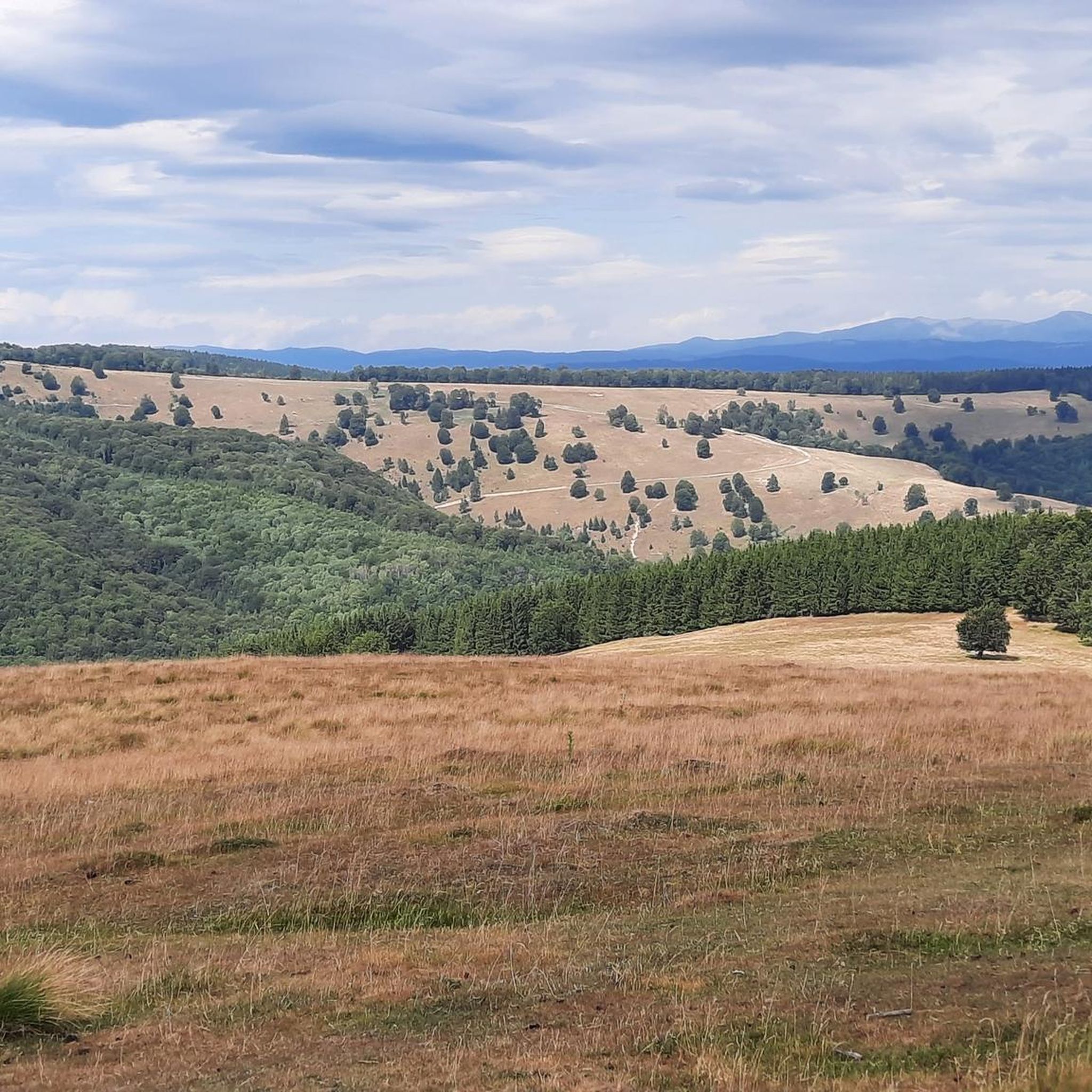
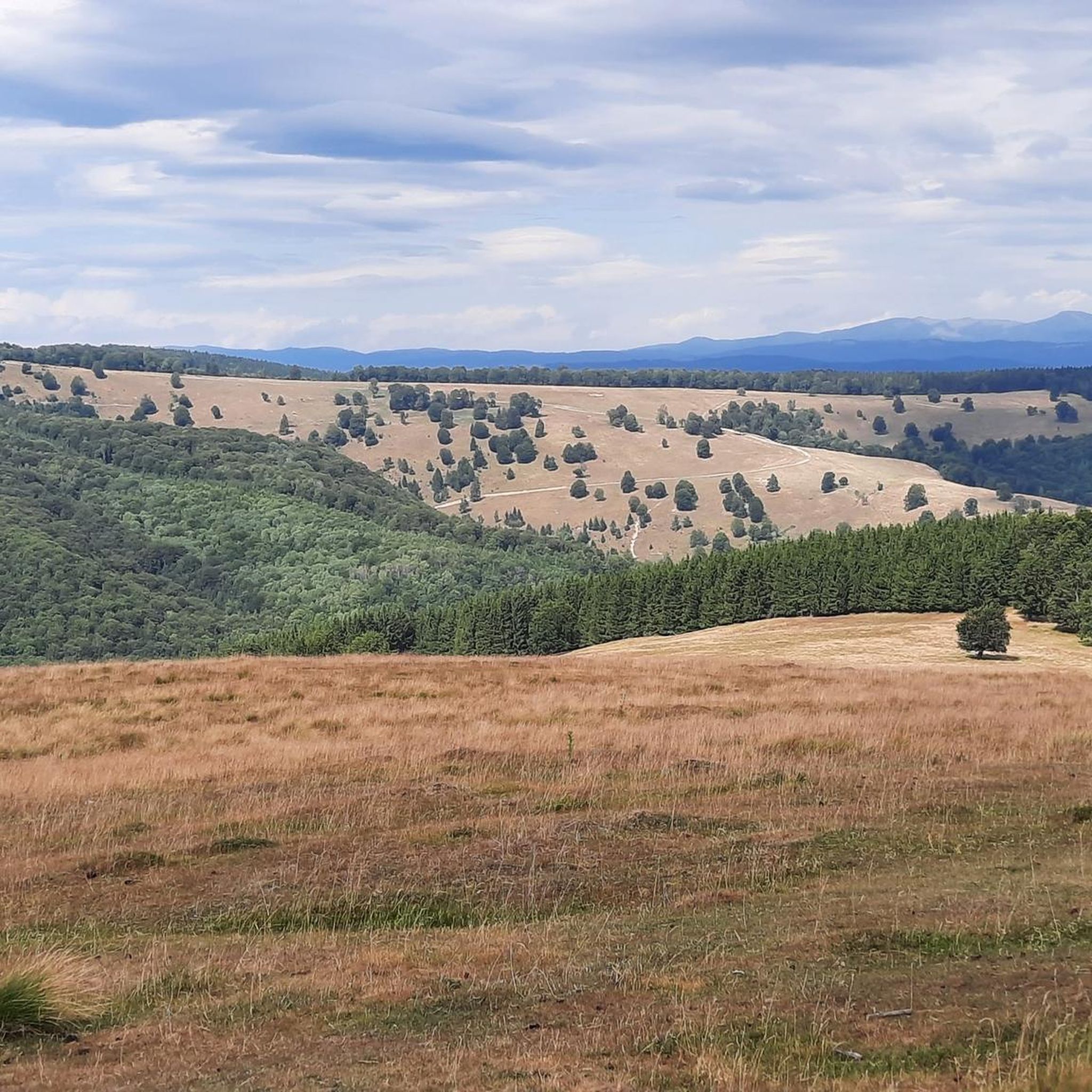
View of the surrounding landscape, caution: grazing cows may be encountered here
1
0

Beautiful view with fixed binoculars.
0
0

Saint Ana Lake in the Ciomatului Mare crater is the only lake of volcanic origin in Central and Eastern Europe and the most visited tourist attraction in Szeklerland. It is surrounded by the steep walls of the volcanic cone of Monte Ciomat, with several higher peaks: Ciomatul Mare (1301 m), Ciomatul Mic (1238 m), Tata Hill (1174 m) or Piscul Pietros (1125 m). The lake, unique in Europe, is located at an altitude of 946 m, has a diameter of 1737 m and a greatest depth of 7 m. From the crater rim, 13 temporary streams formed after the rains carry water and gravel into the lake. The lake is fed by rainwater and water from snowmelt. The lake's sedimentation process began at the northern and western edges, with the lake floor being covered by an increasingly thick layer of mud. The lake is currently 6.5 m deep at its deepest point. In good weather, especially without wind, you can see gas bubbles rising from the bottom of the lake, which are actually an expression of post-volcanic activity. In the northern, northeastern part of the lake, you can see a layer of floating peat about a meter thick.
0
0
コバスナでのの人気観光スポット

komootモバイルアプリでインスピレーションを得よう


探していたものは見つかりませんでしたか?
コバスナの下にある他のハイキングをチェックして、目的地で完璧なルートを見つけましょう。
さらに探索
他の地域の最高のハイキングを見てみましょう。
