グリュックスブルクのおすすめツーリングルート
4.6
(2015)
9,862
ライダー
106
ライド
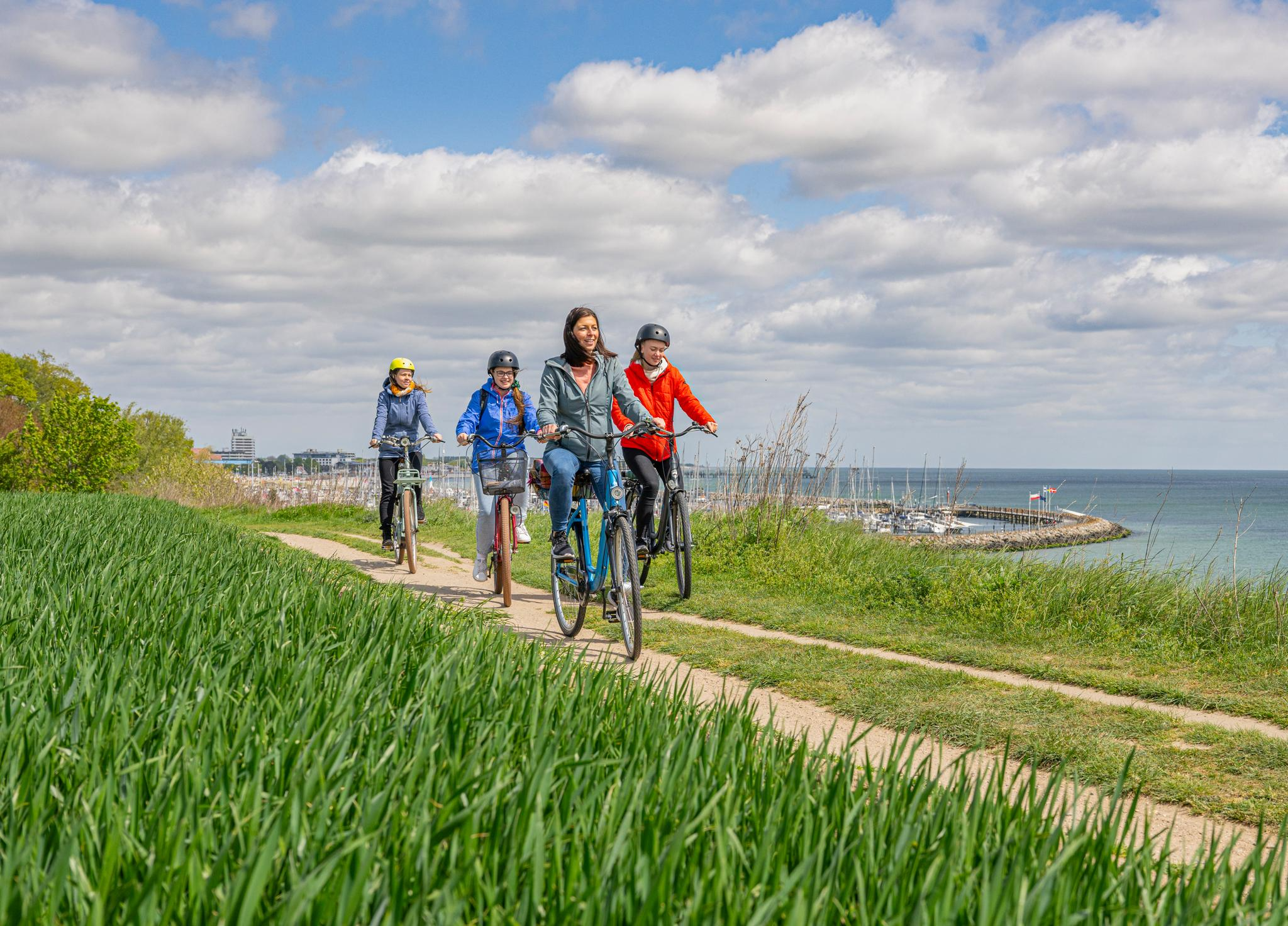
グリュックスブルクでおすすめのサイクリングルートをお探しですか?行きたいルートを簡単に決められるように、このページではグリュックスブルク周辺の人気バイクライドをご紹介します。 ぜひ、お気に入りのルートを見つけてください。
最終更新日: 9月 1, 2026
4.6
(628)
2,391
ライダー
37.2km
02:28
270m
270m
中程度の自転車ライド. ある程度のフィットネスレベルが必要です。 全般的に舗装された状態です。あらゆるスキルレベルに適しています。
4.7
(117)
609
ライダー
16.0km
00:58
80m
80m
初級者向けバイクライド. あらゆるフィットネスレベルに適しています。 全般的に舗装された状態です。あらゆるスキルレベルに適しています。

無料新規登録
4.7
(55)
322
ライダー
23.1km
01:26
160m
160m
中程度の自転車ライド. ある程度のフィットネスレベルが必要です。 全般的に舗装された状態です。あらゆるスキルレベルに適しています。
4.4
(43)
279
ライダー
9.96km
00:35
50m
50m
初級者向けバイクライド. あらゆるフィットネスレベルに適しています。 全般的に舗装された状態です。あらゆるスキルレベルに適しています。
4.9
(47)
213
ライダー
10.3km
00:38
40m
40m
初級者向けバイクライド. あらゆるフィットネスレベルに適しています。 全般的に舗装された状態です。あらゆるスキルレベルに適しています。
さらに多くのルートや他のユーザーのおすすめ情報を確認できます。
無料新規登録
すでにアカウントをお持ちですか?
おすすめのツアーは他のkomootユーザーが実際に経験した何千ものアクティビティに基づいています。
無料アカウントで今日から始めよう
次の冒険が待っています。
ログインまたは登録

グリュックスブルクでのの他の冒険


コミュニティからのヒント


Located directly on the water, you'll enjoy a magnificent view of the Flensburg Fjord and can watch sailboats, some of which depart from the nearby base of the German Offshore Sports Association HANSA (DHH). The waterfront promenade invites you to take a leisurely picnic break or visit a café before continuing on toward Glücksburg or Flensburg city center. A visit to the DHH's long-established yacht schools, where sailors from all over the world have been trained for almost 100 years, is particularly worthwhile.
1
0

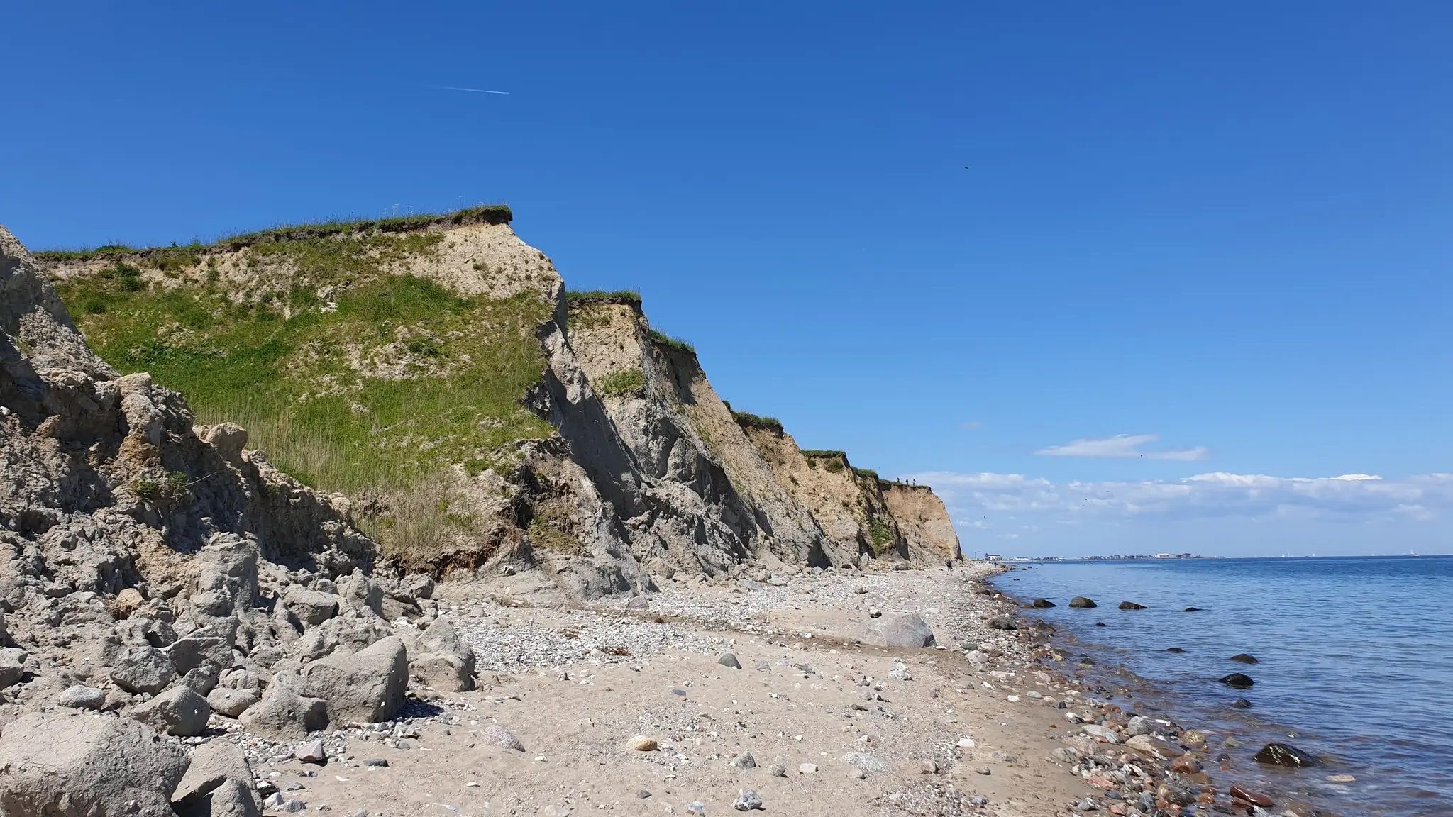
Solitüde in Flensburg is a picturesque district on the eastern shore of the Flensburg Fjord in the Mürwik district, combining nature, history, and relaxation in a very special way. The name "Solitüde" comes from the French (solitude) and means "solitude" – a term that aptly describes the original atmosphere of the place when Baron Schack von Brockdorff had his secluded country estate built here in the mid-19th century. This naming was granted with royal approval and reflects the secular-romantic longing for seclusion at the time. Today, Solitüde is a popular local recreation area with a fine sandy beach, flat dunes, a bathing area with a jetty, and a protected forest garden nestled among forests and steep cliffs. In summer, the DLRG (German Lifesaving Association) ensures safety, and access is free. Historically, Solitüde came alive as a beach destination in the 1920s: After the First World War and the separation of the northern shore of the fjord by referendum, many Flensburg residents surprisingly turned to the southern shore. This marked the beginning of Solitüde's rise as a popular beach – aided by the enormous dredging of several hundred thousand cubic meters of sand between 1922 and 1923.
3
1
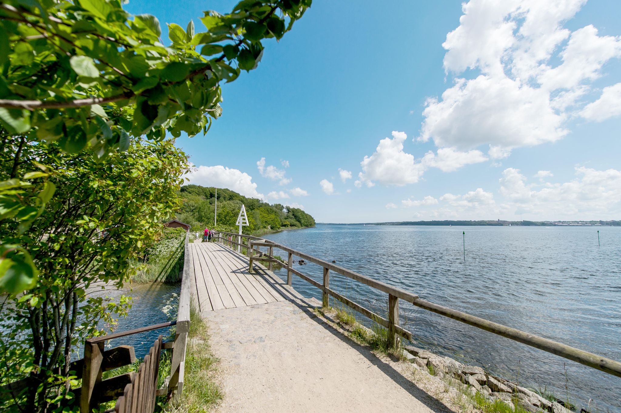
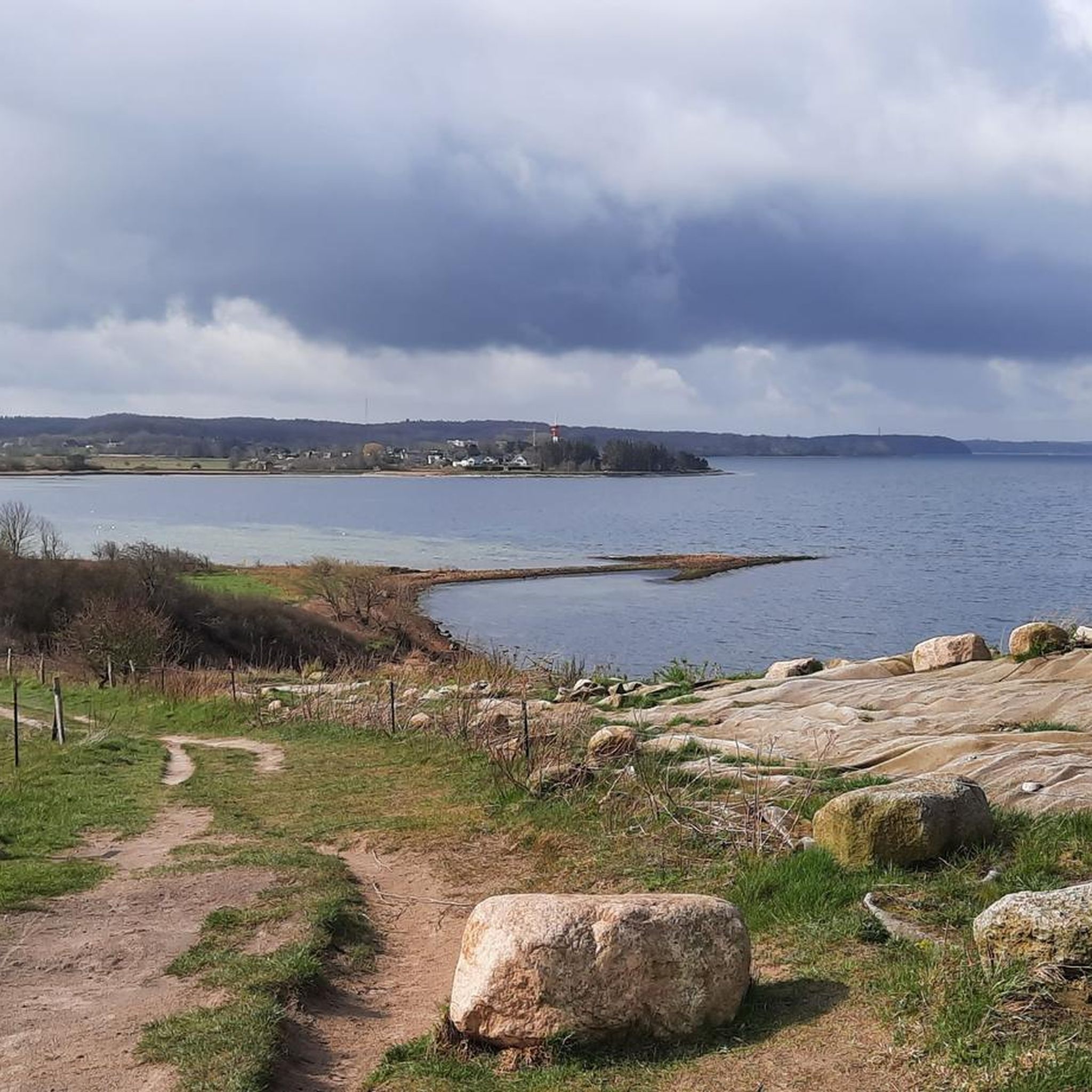
The Flensburg Fjord (Danish: Flensborg Fjord) is an approximately 40 to 50-kilometer-long inlet of the western Baltic Sea and forms the border between Germany (Schleswig-Holstein) and Denmark along its northern and southern sides. Geologically, it was formed by the indentation of a glacial tongue in the inland ice during the Weichselian glaciation. It is classified as a fjord rather than a fjord because its flanks are relatively low. The fjord is divided into two sections: the inner fjord toward Flensburg and the outer fjord, separated by the Holnis peninsula. At its western end, in Flensburg, it flows inland—the westernmost point of the Baltic Sea also lies along this line. Today, the region is an important sporting area, especially for sailors, and hosts major regattas such as the Flensburg Fjord Regatta and the Rum Regatta. Fjord Week, with events for classic yachts, is also part of the regular schedule. The Flensburg Fjord is also attractive for its landscape and tourism. It offers charming shorelines with beaches, steep coastlines, and moraine cliffs, nestled among gentle sandy areas. Nature and culture lovers will find a wealth of destinations along both shores: Flensburg with its historic old town and museum harbor, Glücksburg Castle, the Holnis peninsula with its protected salt marshes and lighthouses, as well as the Geltinger Birk nature reserve and the towns along the northern shore with the Gendarmenpfad (Gendarmen Trail) – a former border path along the Danish border. For centuries, the fjord has been shaped by passenger and freight traffic – historic steamers connected Flensburg with towns on both sides. Today, leisure boating, excursion boats, traditional yachts and marine activities dominate in Mürwik.
2
0
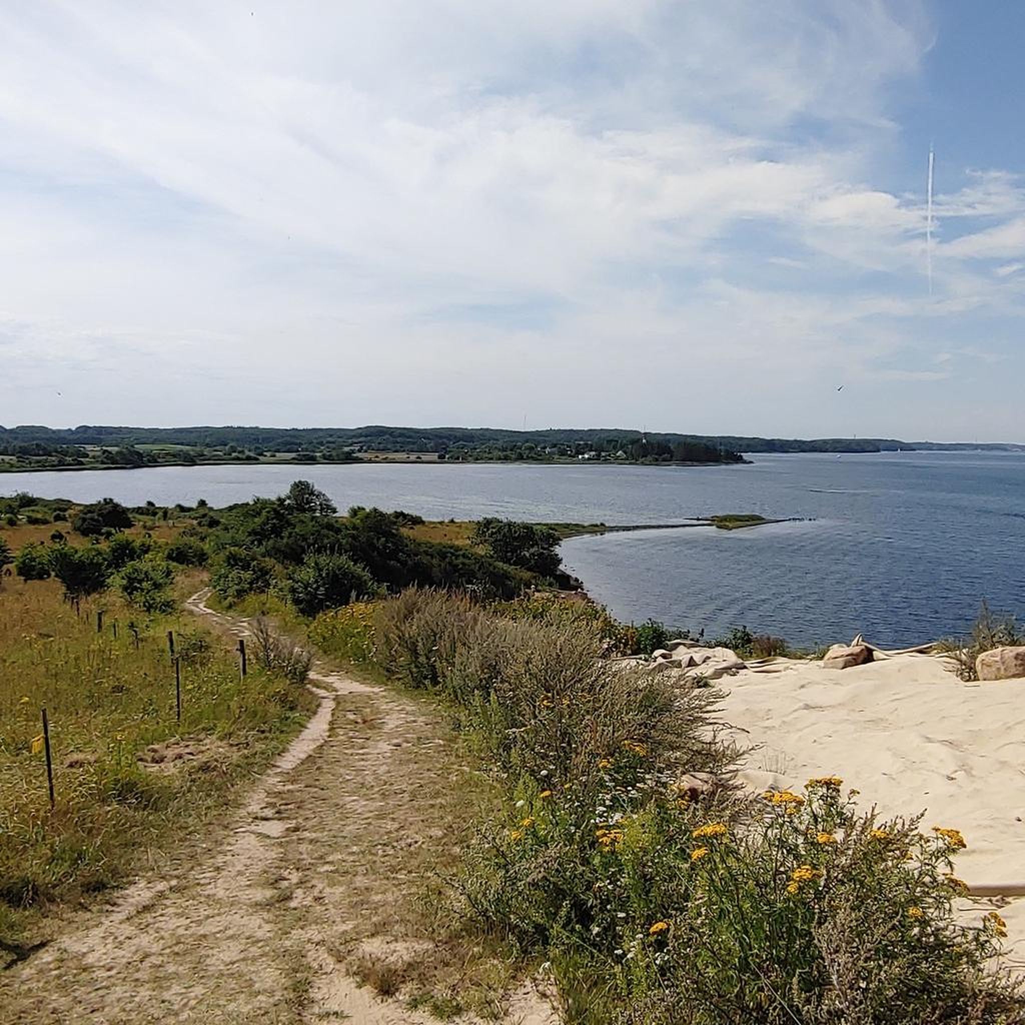
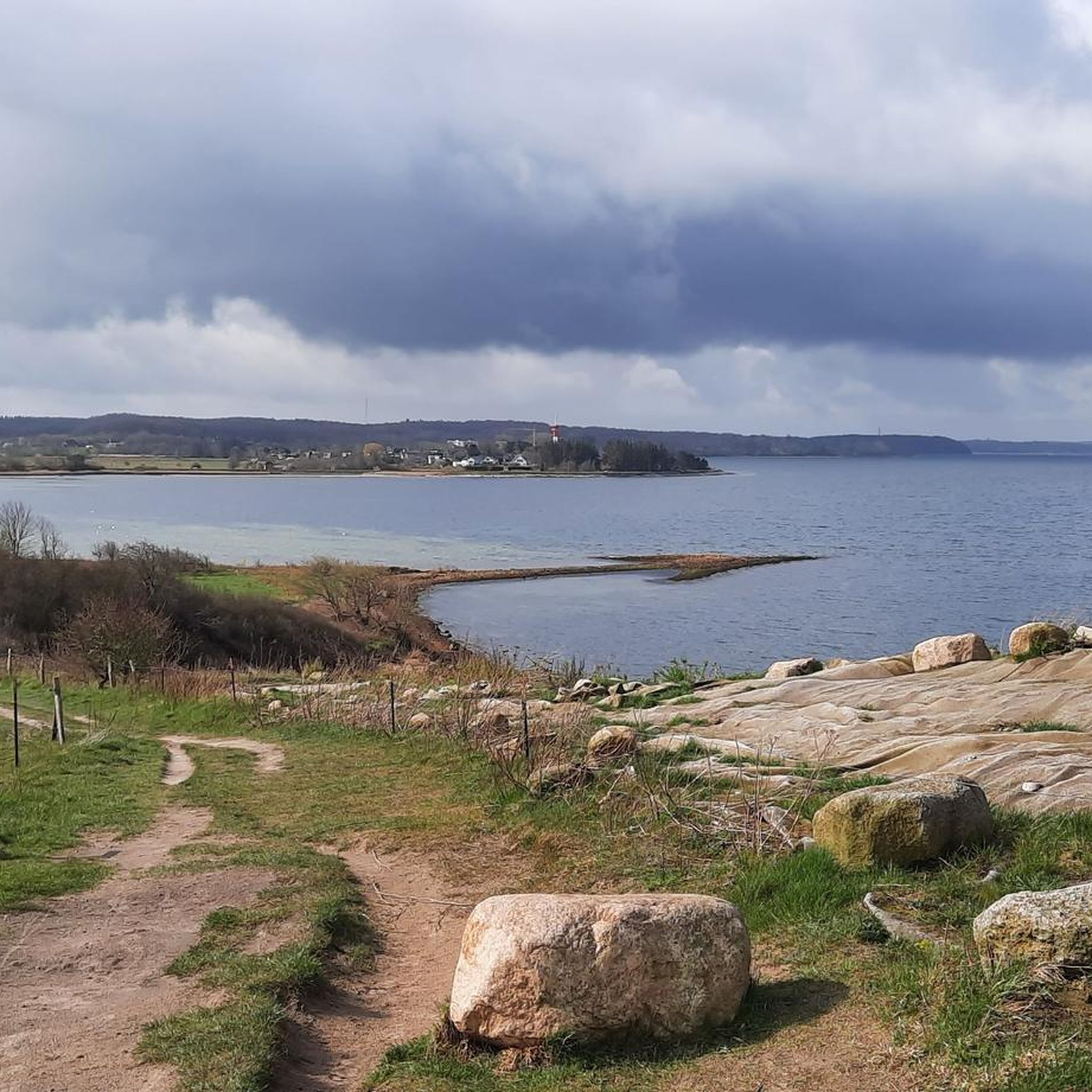
The Holnis peninsula in northeastern Schleswig-Holstein, northeast of Glücksburg and located in the Flensburg Fjord, is a diverse nature reserve of great ecological importance. Since April 30, 1993, an approximately 360-hectare section – under protection number 155 – has been protected. The landscape is characterized by impressive diversity: secluded cliffs, former coastal lakes (Großes Noor and Kleines Noor), salt marshes, spit ridges, beach ridges, and reed beds characterize the area. Some of these landscape forms were created by embankments and rewetting, such as the Kleines Noor, which has been reconnected to the fjord via a dike cut in 2002 and has developed into a valuable brackish water biotope. The peninsula is of national ornithological importance: Around 65 breeding bird species use the salt marshes and shore areas as their habitat, including shelducks, oystercatchers, lapwings, ringed plover, and terns. Numerous duck species and waders rest here in winter. In addition, the small nature station (NABU hut) not only provides information but also imparts ecosystem knowledge to visitors through weekly bird counts. The vegetation is equally fascinating: salt marsh species such as samphire, sea aster, sea plantain, and common centaury dominate the landscape, complemented by typical plants such as broad-leaved marsh orchid, marsh sow thistle, and curly dock. The cliffs are home to a colony of sand martins. The area is part of the FFH (Farmland Conservation Area) "Coastal Areas of the Flensburg Fjord from Flensburg to Geltinger Birk" and is also an EU bird sanctuary. It has been managed by NABU Schleswig-Holstein since 1993, implementing conservation measures and maintenance programs (e.g., grazing with Scottish Highland cattle), and operating a visitor information center. For those seeking recreation, Holnis offers walks along designated hiking trails—such as the approximately 5.2 km long "Noor Circular Trail"—from vantage points and information stations, where flora and fauna can be experienced in a gentle and informative manner.
2
0
The Glücksburg Fjord Promenade runs along the Sandwig spa beach to the southern marina and offers a direct view across the Flensburg Fjord to the Danish coast. It is designed as a wide, barrier-free waterfront promenade and connects the beach area with restaurants, seating areas, and beach chairs. The promenade is used by both pedestrians and cyclists and is part of several regional cycling and hiking trails. Historically, this section of the fjord was a central part of the seaside resort as early as the 19th century. Today's promenade incorporates modern design elements while retaining the traditional character of the town. A striking feature is the Sandwig pier, built in 1902, later renovated, and now used as a mooring for excursion boats. The promenade is accessible year-round and serves both as a recreational area and as a connecting route for tourism and local leisure traffic.
3
0

Holnis is a great place with a beautiful beach in the middle of nature, there are also many options for eating and doing something 👍
2
0

Lake Roikier was formed in the 13th century from a moorland cleared by monks from Glücksburg. At that time, Glücksburg housed a Cistercian monastery, and the lake was probably used by the monks for water supply and fish farming.
2
0
グリュックスブルクでのの人気観光スポット

komootモバイルアプリでインスピレーションを得よう


さらに探索
他の地域の最高のサイクリングルートを見てみましょう。
