ファイストリッツ・イム・ローゼンタルのおすすめウォーキング&ハイキングルート
4.6
(5066)
39,077
ハイカー
52
ハイキング
ファイストリッツ・イム・ローゼンタル 周辺でおすすめのハイキングやウォーキングを楽しんでいただけるように、このエリアの小径やルートを集めたkomootコレクション全体を見直しました。 以下で各ルートの詳細をご覧になり、ファイストリッツ・イム・ローゼンタル周辺の大自然を満喫する際の参考にしてください。
最終更新日: 8月 31, 2026
4.7
(94)
699
ハイカー
5.99km
02:42
490m
490m
中程度のハイキング. ある程度のフィットネスレベルが必要です。 全般的に進みやすいルートです。安定して歩行できる技術が必要です。
4.7
(210)
1,547
ハイカー
14.4km
06:04
1,020m
1,020m
難しいハイキング. 標準以上のフィットネスレベルが必要です。 全般的に進みやすいルートです。安定して歩行できる技術が必要です。

4.6
(28)
471
ハイカー
15.1km
07:10
1,240m
1,240m
難しいハイキング. 標準以上のフィットネスレベルが必要です。 安定して歩行できる技術、丈夫な靴、高標高地での登山経験が必要です。
4.8
(19)
192
ハイカー
8.32km
03:28
680m
680m
中程度のハイキング. ある程度のフィットネスレベルが必要です。 全般的に進みやすいルートです。安定して歩行できる技術が必要です。
4.5
(17)
140
ハイカー
16.5km
07:49
1,210m
1,210m
難しいハイキング. 標準以上のフィットネスレベルが必要です。 安定して歩行できる技術、丈夫な靴、高標高地での登山経験が必要です。
さらに多くのルートや他のユーザーのおすすめ情報を確認できます。
すでにアカウントをお持ちですか?
おすすめのツアーは他のkomootユーザーが実際に経験した何千ものアクティビティに基づいています。
無料アカウントで今日から始めよう
次の冒険が待っています。
ファイストリッツ・イム・ローゼンタル周辺で人気
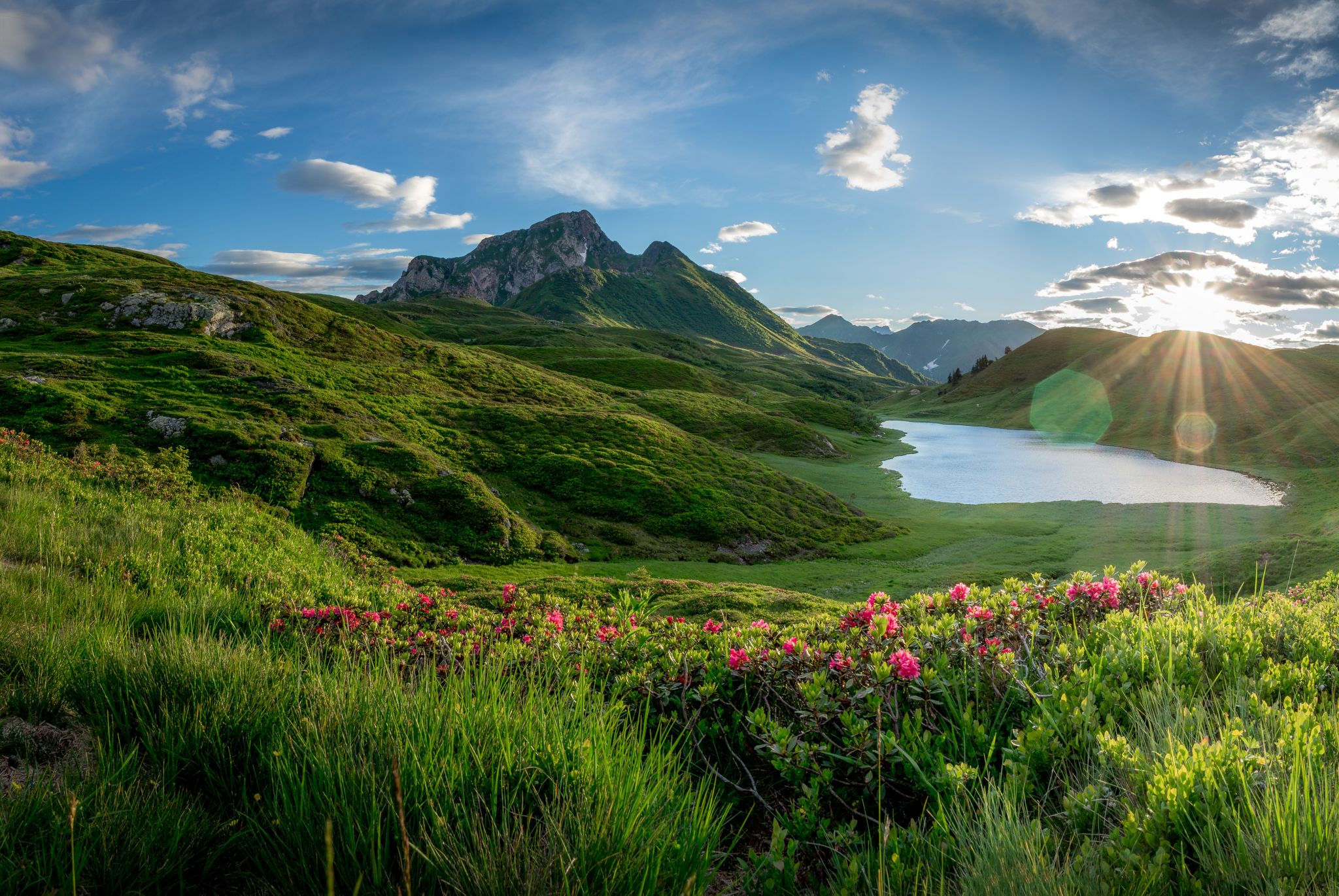
サザンアルプストレイル - オーストリアのシュタイアの葡萄園とカルニックアルプス
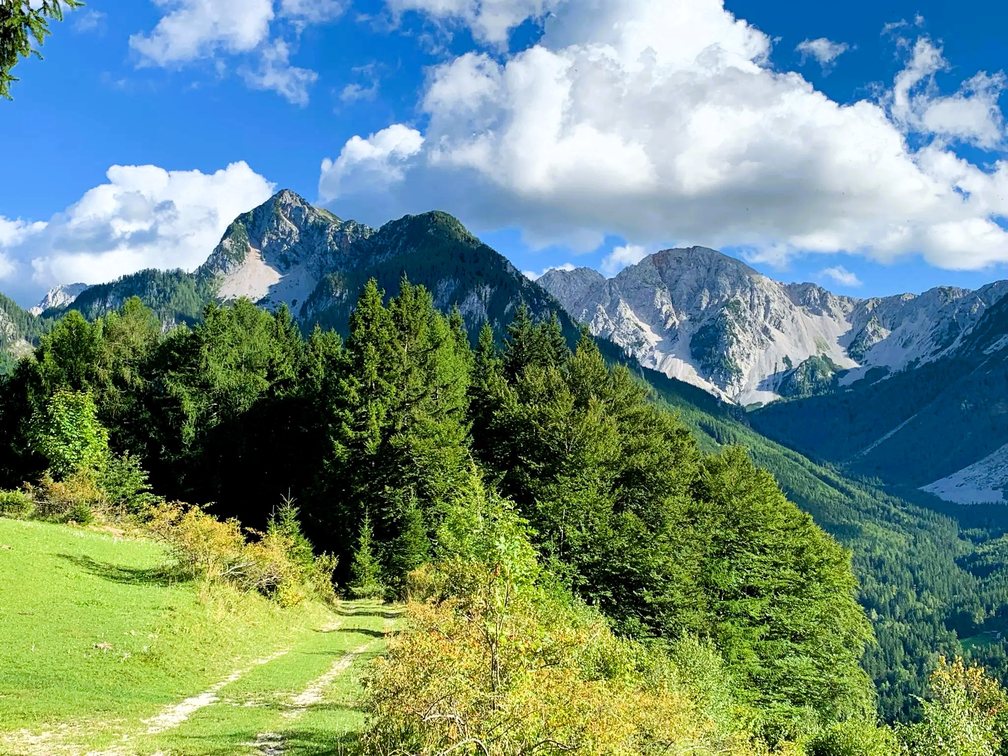
Hiking at Wörthersee – varied trails between lakes and peaks
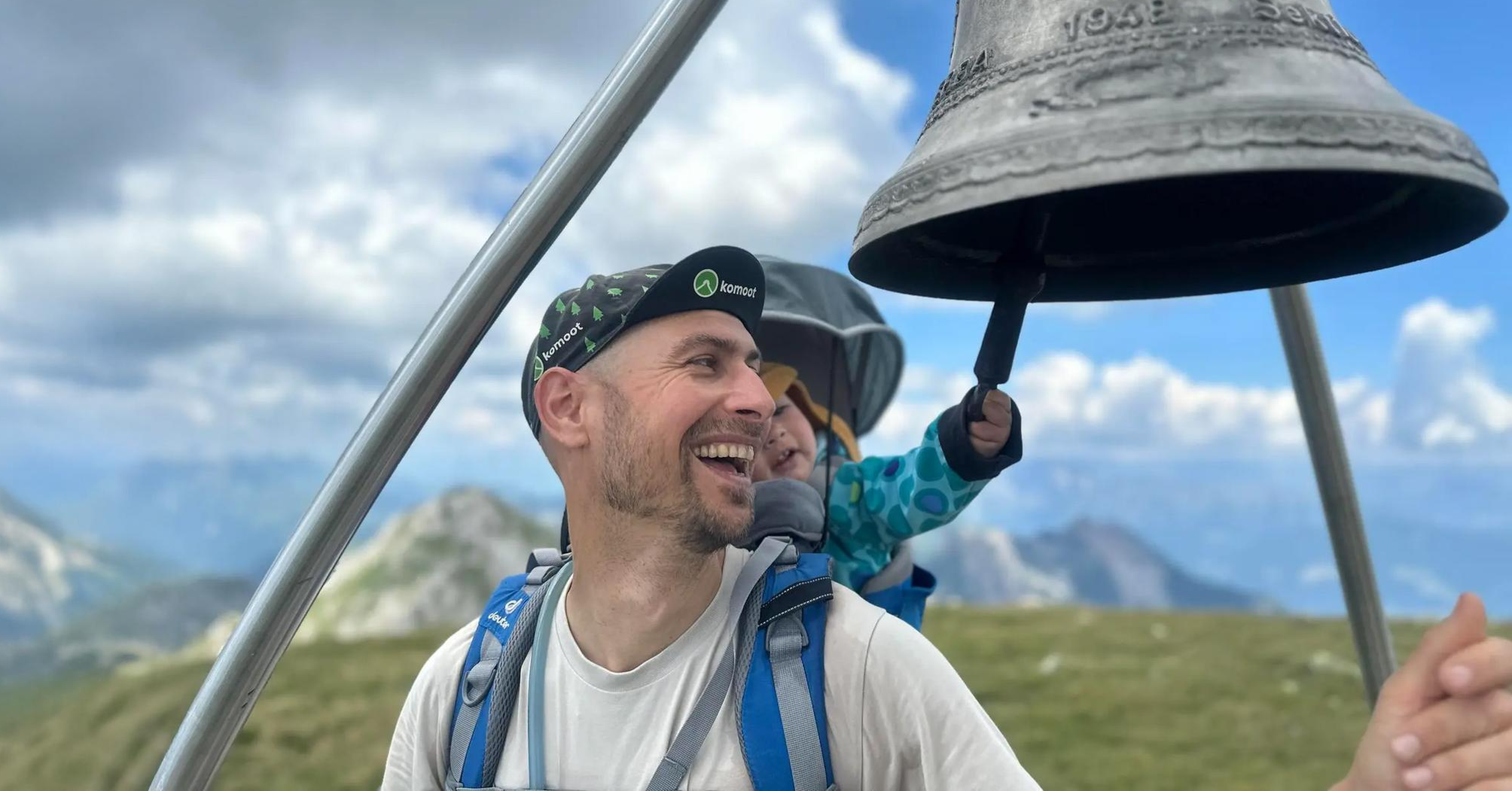
Summit hikes for families – discovery routes with a view in Carinthia
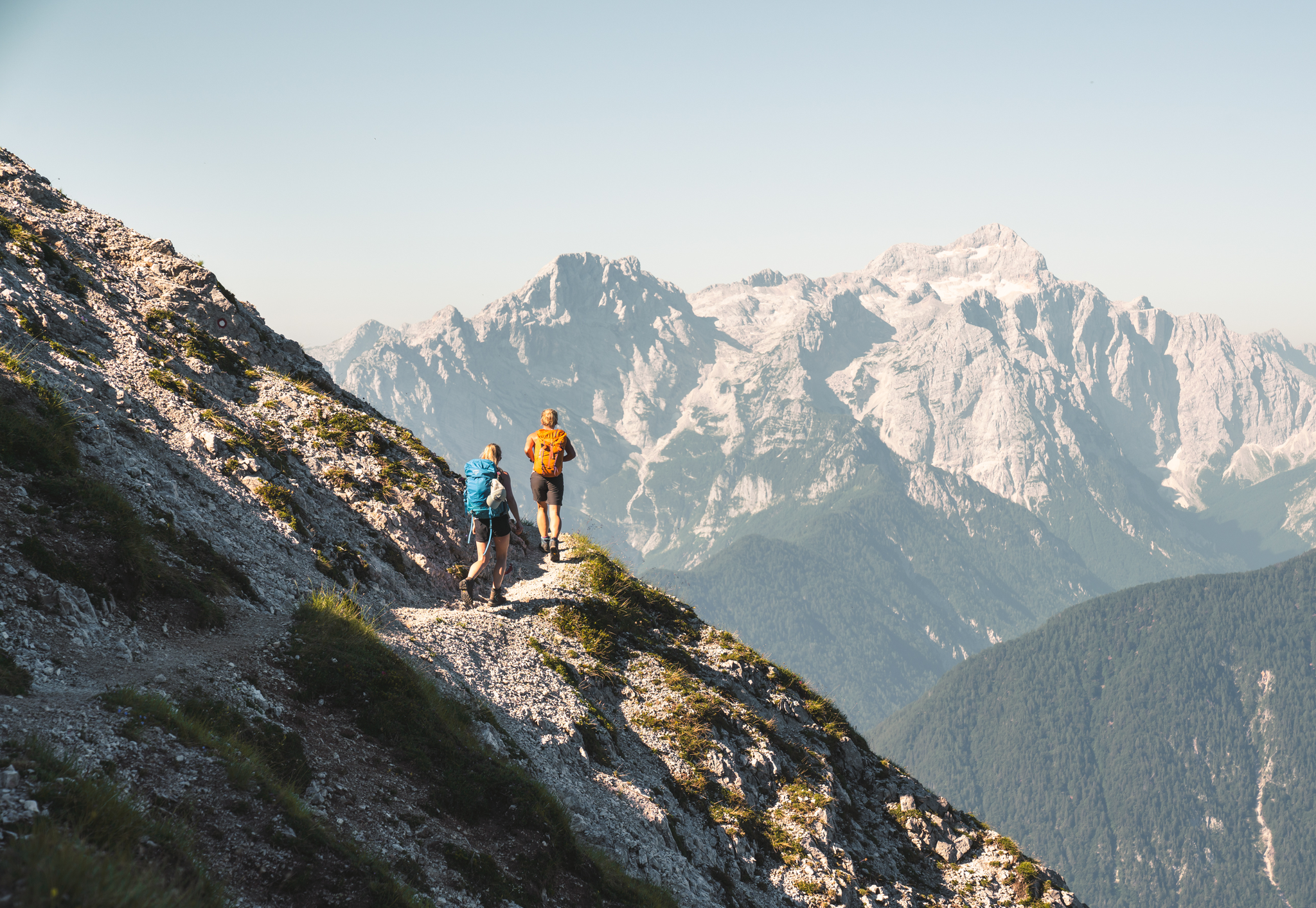
Sunny adventures on the Southern Alps Panorama Trail
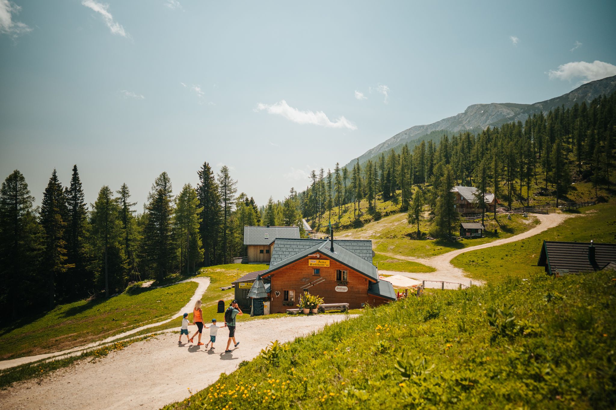
Auszeit auf der Alm – Wandern zu Kärntens schönsten Hütten
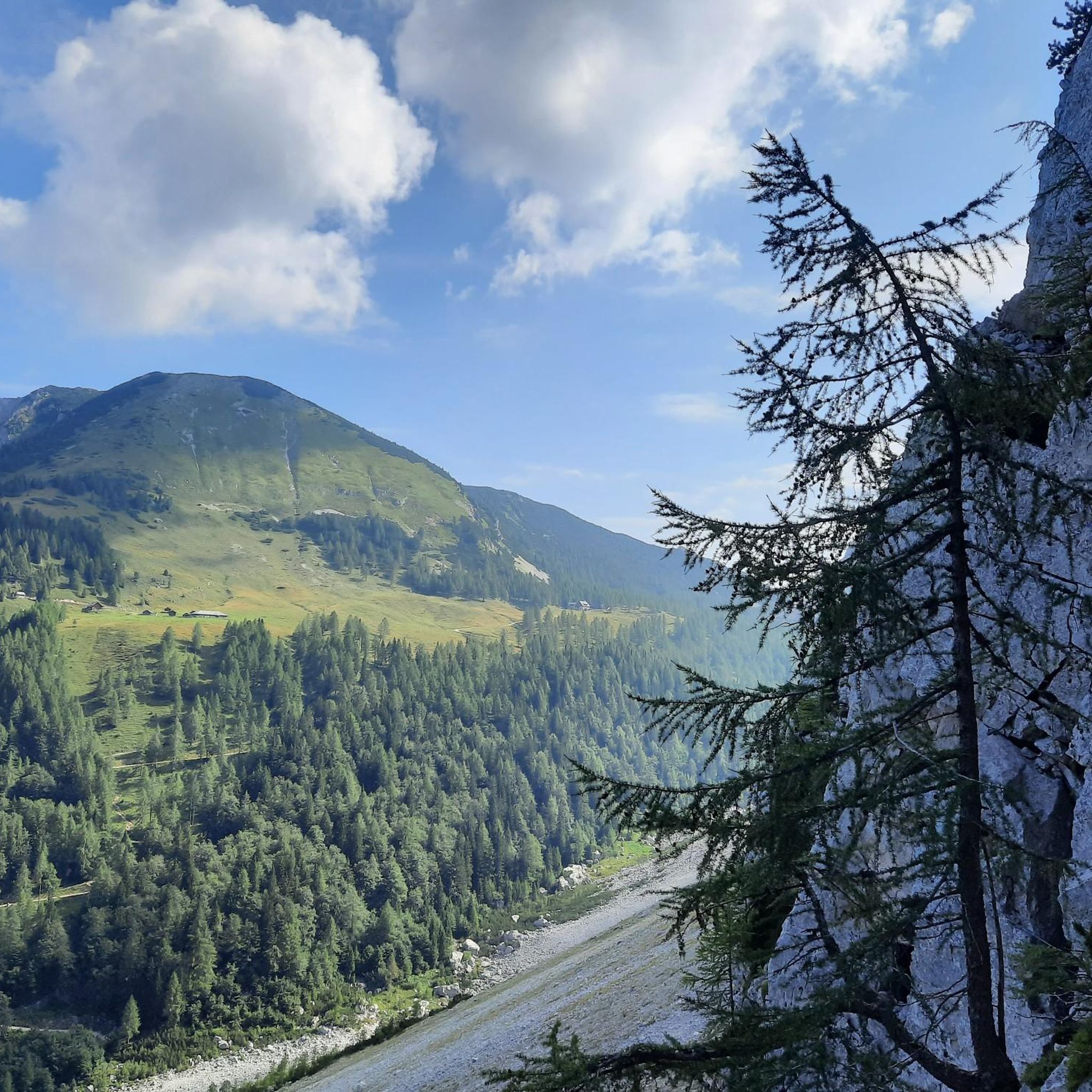
ファイストリッツ・イム・ローゼンタルのMTBトレイル
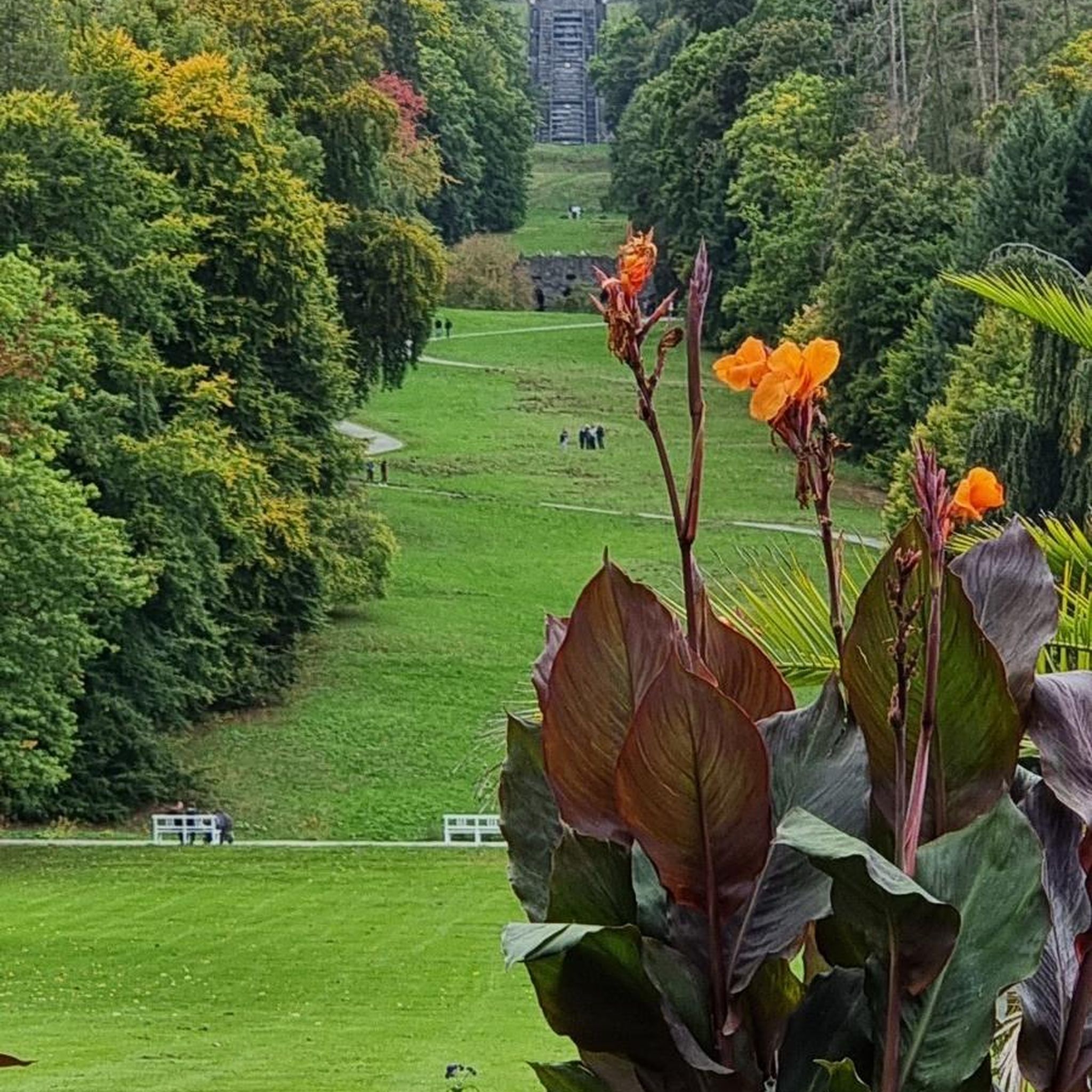
ファイストリッツ・イム・ローゼンタルでの登山&山歩き
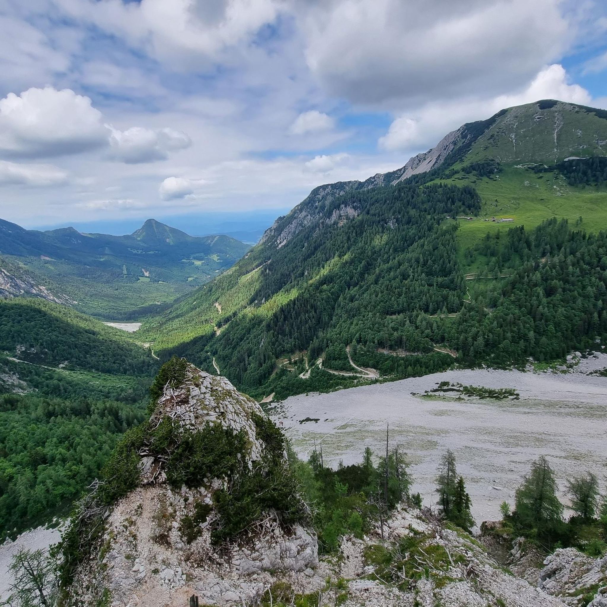
ファイストリッツ・イム・ローゼンタルのロードバイクルート
ファイストリッツ・イム・ローゼンタルでのサイクリング
ファイストリッツ・イム・ローゼンタルのランニングコース
ファイストリッツ・イム・ローゼンタルでのの他の冒険


コミュニティからのヒント


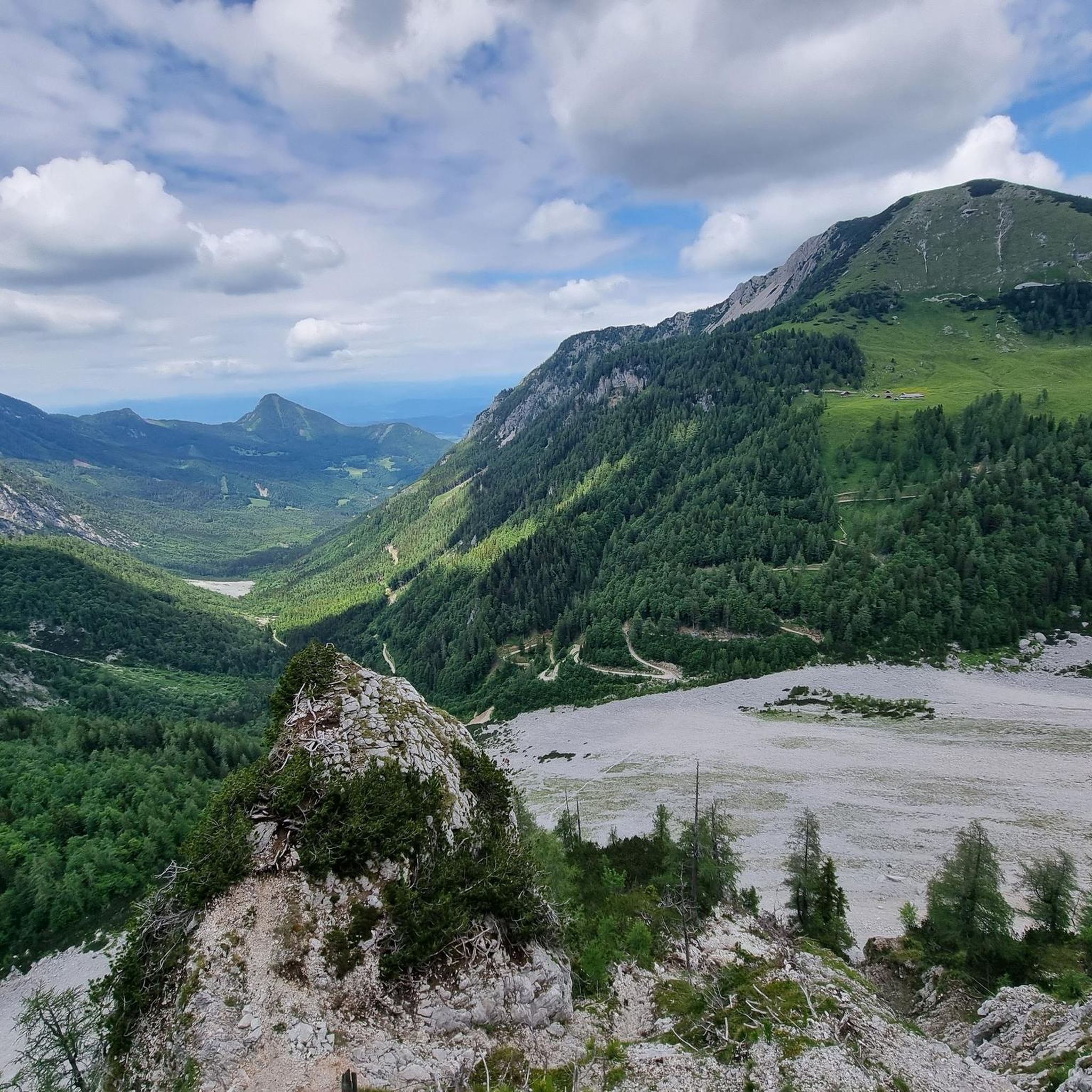
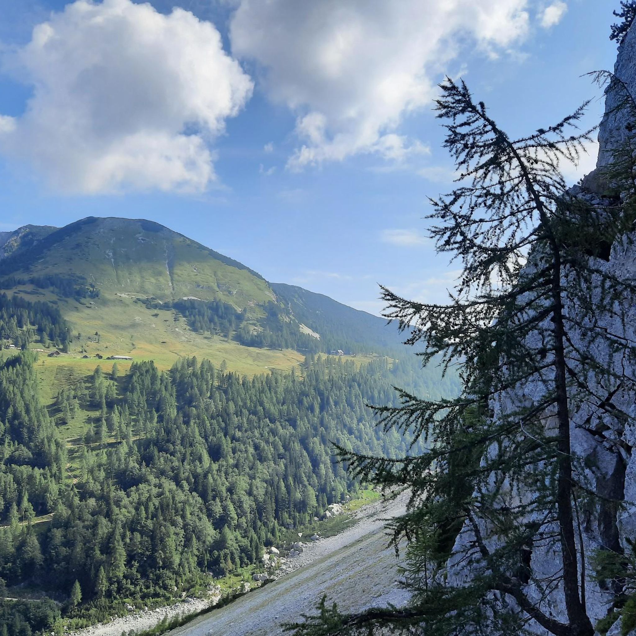
Beautiful valley in the Karawanks with great views of the surrounding mountains.
1
0
From the Bielschitzasattel you have a great view of the Hochstuhl, the Bielschitza and the Klagenfurter Hütte.
1
0

It stands there as if dotted – the Klagenfurter Hütte – between rock, forest, and skylight, at a height where cell phone reception sometimes breaks down, but your breath naturally deepens. You don't pass by here by chance. Anyone who wants to go to the Klagenfurter Hütte wants to go there. And you can feel it – in the conversations at the table, in the silence on the bench in front of the door, in the smile of the landlady. The hut, a mixture of Styrian coziness and Alpine austerity, crouches beneath a steep shingle roof, as if trying to shrink before the mighty rock massif behind it. But it doesn't need to – it is a rock in itself: a starting point, a place of retreat, a place of power. The Kosiak is to the left, the Bielschitza to the right, and those who aspire to higher ground can continue to the Hochstuhl or over the ridge into Slovenian territory. But many stay – with bowls of soup and cottage cake, overlooking the stone-gray thunderstorm in the Karawanks. The air tastes of stone pine, limestone, and wanderlust. On the map, the lines and elevations look like they were drawn by a child – harmless. In reality, however, every step is part of a small adventure. The paths are windy, the wind stubborn, and sometimes you just sit there, stare at the ridge, and think: So this is freedom.
3
2

What a path! You can hike through a wonderful landscape with great views.
0
0

Great view of the Karawanks (from Mittagskogel to Koschuta), down to the Feistritzer reservoir, the Drau and the Sattznitz/Gure.
0
0
small chapel that was built in 1681, pause and enjoy the view over the alpine pasture and the Bärental
0
0

Wonderful view of the Rosental
0
0
ファイストリッツ・イム・ローゼンタルでのの人気ルート
ファイストリッツ・イム・ローゼンタルでのの人気観光スポット

komootモバイルアプリでインスピレーションを得よう


さらに探索
他の地域の最高のハイキングを見てみましょう。
