ファーノのおすすめツーリングルート
4.4
(2649)
11,777
ライダー
90
ライド
ファーノ周辺でのおすすめのサイクリングルートを参考にして、このエリアを最大限に楽しみましょう。ここでご紹介するのは、ファーノ周辺の人気バイクライドです。ぜひ、自分に合ったルートを見つけてください。
最終更新日: 9月 9, 2026
4.8
(117)
357
ライダー
26.9km
01:55
30m
30m
初級者向けバイクライド. あらゆるフィットネスレベルに適しています。 全般的に舗装された状態です。あらゆるスキルレベルに適しています。
4.7
(473)
1,752
ライダー
35.2km
02:21
40m
40m
難しい自転車ライド. ある程度のフィットネスレベルが必要です。 ツアーの一部で自転車を押して歩く必要があるかもしれません。

4.7
(477)
1,674
ライダー
38.8km
02:50
40m
40m
難しい自転車ライド. ある程度のフィットネスレベルが必要です。 ツアーの一部で自転車を押して歩く必要があるかもしれません。
4.8
(410)
1,501
ライダー
40.7km
02:44
40m
40m
中程度の自転車ライド. ある程度のフィットネスレベルが必要です。 全般的に舗装された状態です。あらゆるスキルレベルに適しています。
4.5
(121)
935
ライダー
21.7km
01:13
20m
20m
初級者向けバイクライド. あらゆるフィットネスレベルに適しています。 全般的に舗装された状態です。あらゆるスキルレベルに適しています。
さらに多くのルートや他のユーザーのおすすめ情報を確認できます。
すでにアカウントをお持ちですか?
おすすめのツアーは他のkomootユーザーが実際に経験した何千ものアクティビティに基づいています。
無料アカウントで今日から始めよう
次の冒険が待っています。

コミュニティからのヒント

自家製ケーキはとても美味しいです!最新の営業時間はウェブサイトに記載されています
0
0

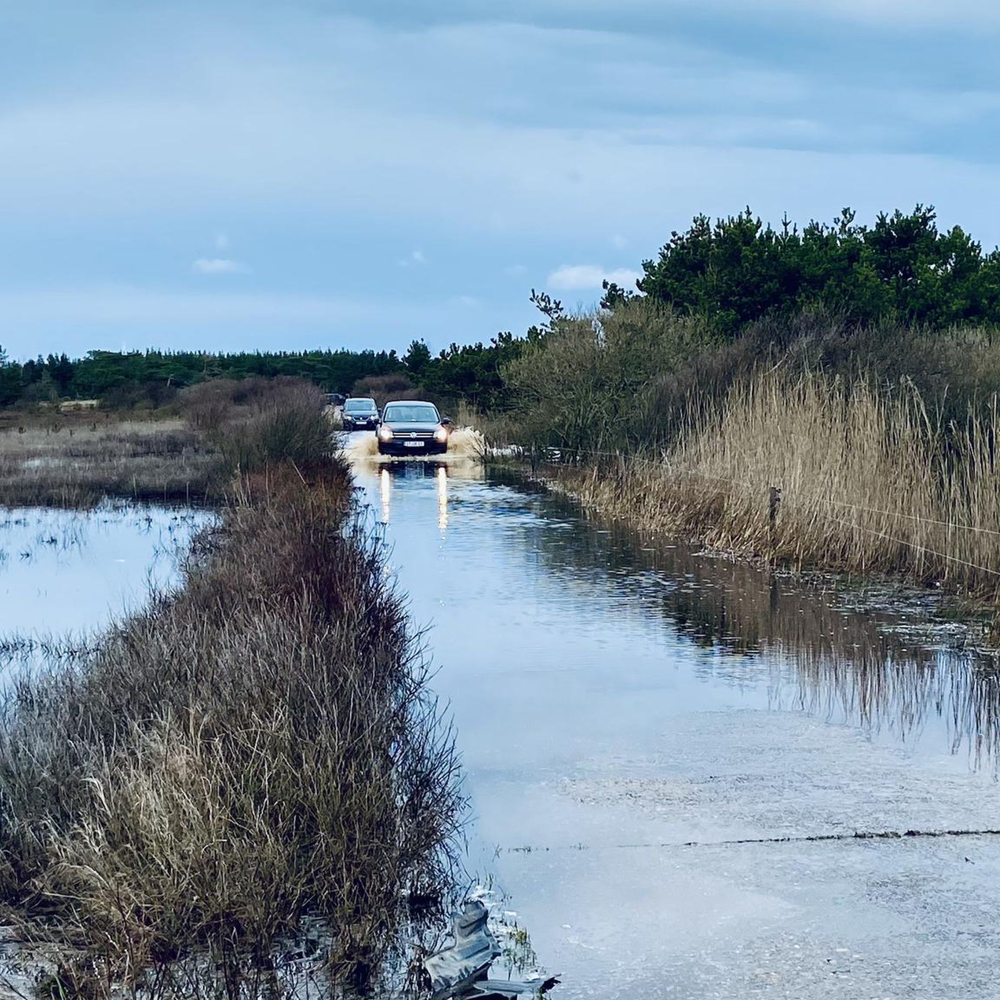
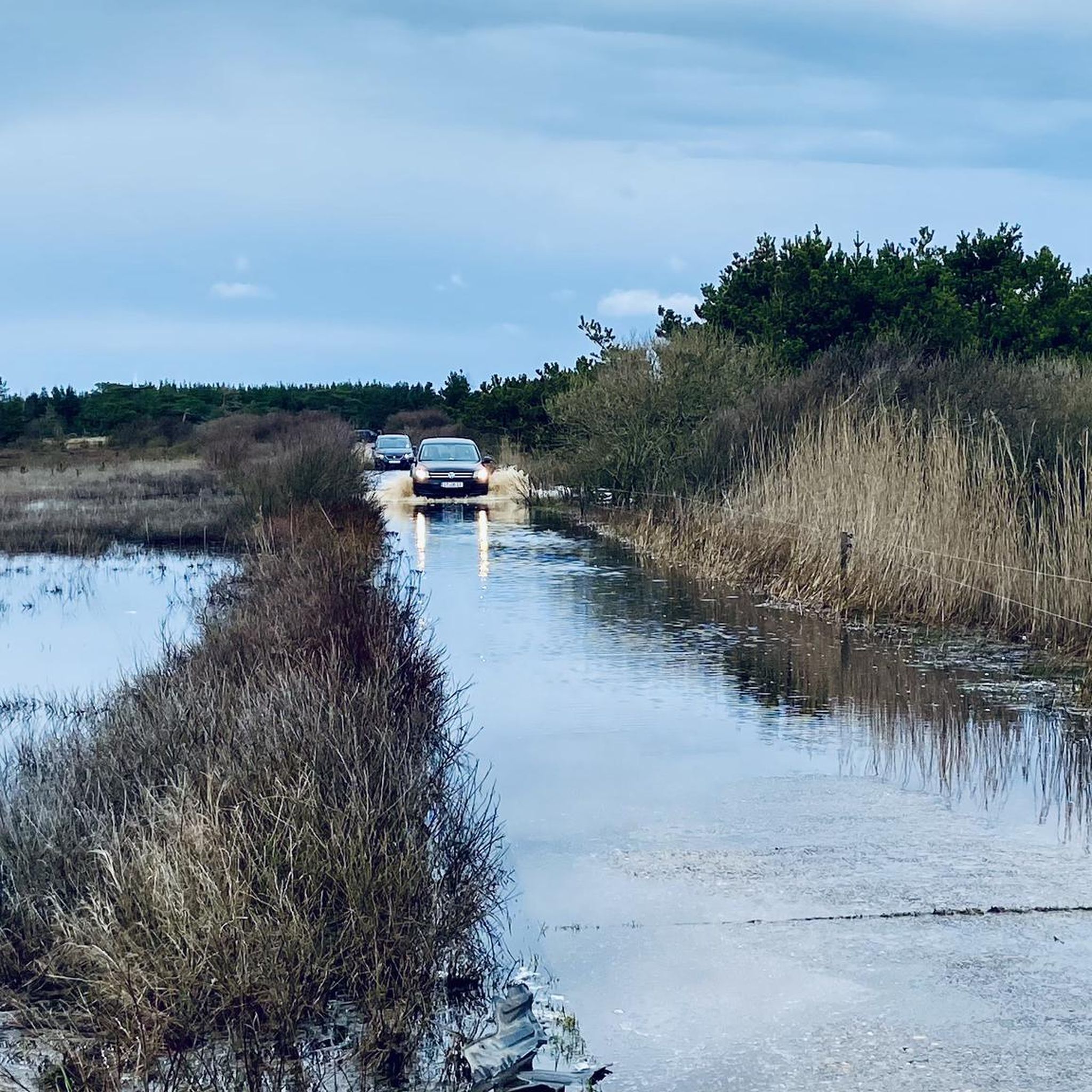
SønderhoとFanø Badの間には自動車用のビーチがあります。広い車線は自転車でも問題なく走行できます。
0
0

Access to the sea is very easy. Whether by car, bike, or on foot, it's easy to manage. Here, the beach access is called "Fanø Bad." No matter what, it's always interesting there, and there's plenty to discover. The old hotels and holiday homes are also very beautiful.
0
0

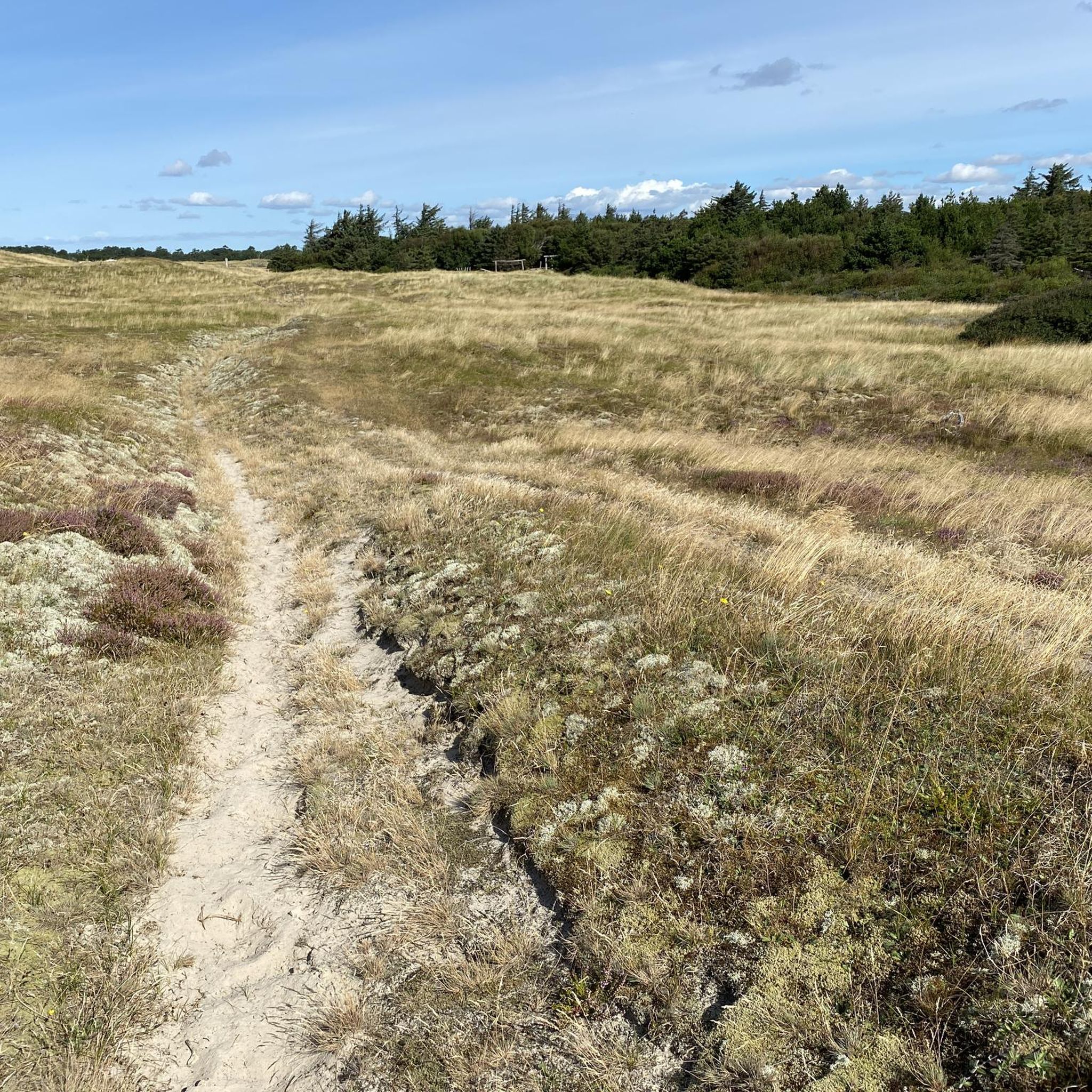
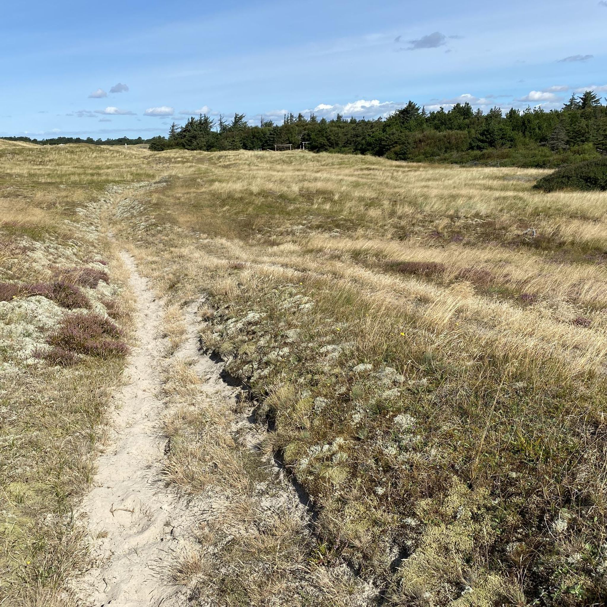
A beautiful panorama with a view over the mudflats towards the mainland. The path is unpaved – partly gravel and, for short sections (max. 100 meters), even sandy. But the heath and reed landscape makes up for it.
0
0

beautiful natural beach
0
0

Fanø is the second northernmost of the Danish Wadden Sea islands and lies about 50 kilometers north of Sylt. The nearest major town is the industrial and port city of Esbjerg, which belongs to Jutland. A ferry connects Fanø to Esbjerg. The journey takes about twelve minutes. Fanø is 16 kilometers long and 5 kilometers wide at its widest point. The 55.78 km² island[2] has a population of 3,270 (as of January 1, 2025[1]). This corresponds to a population density of approximately 59 people per km². The two largest towns on the island are Nordby with 2,629 inhabitants and Sønderho with 279 inhabitants (as of January 1, 2025).[3] There are also the towns of Fanø Bad and Rindby. The economy is largely dependent on tourism. Fanø originated as a sandbank in the shallow sea between Horns Rev (reef) and the German island of Sylt. The island's subsoil consists primarily of drifting sand formations, which have formed both high dunes and flat areas. The vast dunes and the broad sandy beach, which stretch along Fanø's entire west coast, are the defining features of the landscape. Even today, the sea washes large quantities of sand onto the west beach, causing the island to slowly expand westward. In the east of the island (from Grøningen in the north to Hønen near Sønderho in the south) runs a narrow strip of marshland and riparian meadows, which are extensively grazed and from which reeds are harvested. In the center of the island are heathland, a planted pine forest, and a so-called klitplantage (roughly translated as "dune plantation"). Especially in autumn and winter, a comparatively large amount of amber washes up on the island's west beach after storms. Beads, animal figures and amulets made of amber have also been found here, dating back to the time of the Mesolithic Maglemose or Ertebølle culture.
0
0
ファーノでのの人気観光スポット

komootモバイルアプリでインスピレーションを得よう


さらに探索
他の地域の最高のサイクリングルートを見てみましょう。
