ブライテンヴァングの絶景の山頂・トップ20
絶景を目指して登るのであれ、達成感のために登るのであれ、山頂を訪れることで、ブライテンヴァングの美しい自然をもっと満喫することができます。20
もの選択肢の中から、制覇する山頂を決めるのは簡単ではありません。スムーズに次の冒険で目指す山頂を選べるように、ブライテンヴァングの素晴らしい山頂をこのガイドにまとめました。
最終更新日: 8月 30, 2026
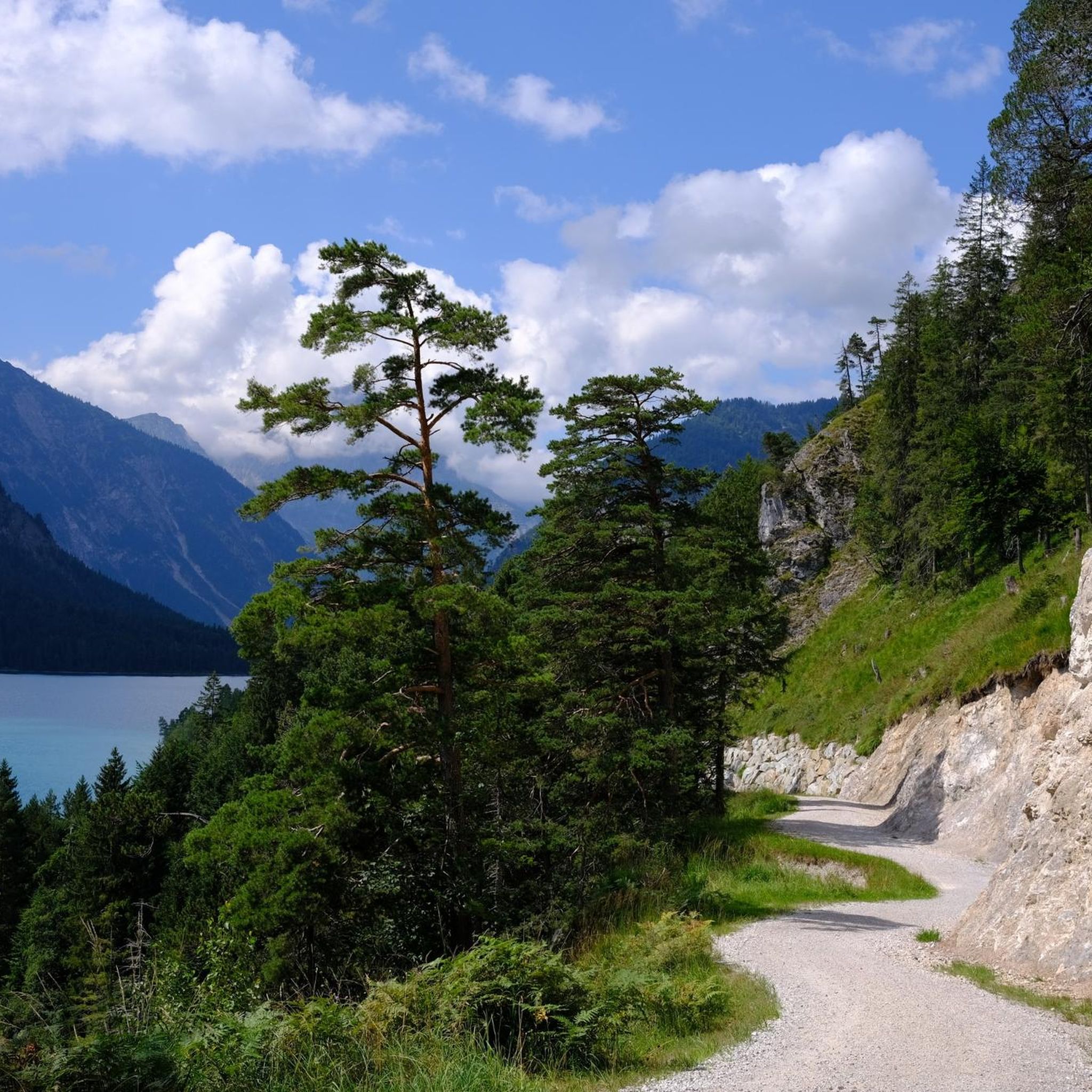
アイプゼーの眺め
ハイライト • 展望台
翻訳者 Google •
役立つ情報 は

テーゲルベルク山頂駅
ハイライト • 休憩所
翻訳者 Google •
役立つ情報 は

今すぐサインアップして、こんな場所を発見しよう
最高のシングルトラック、ピーク、その他のエキサイティングなアウトドアスポットのおすすめを受け取ろう。
無料新規登録
カリヴァリエンベルクから望むフュッセン、シュヴァンゼー、ノイシュヴァンシュタイン城の景色
ハイライト • 展望台
翻訳を表示中
役立つ情報 は

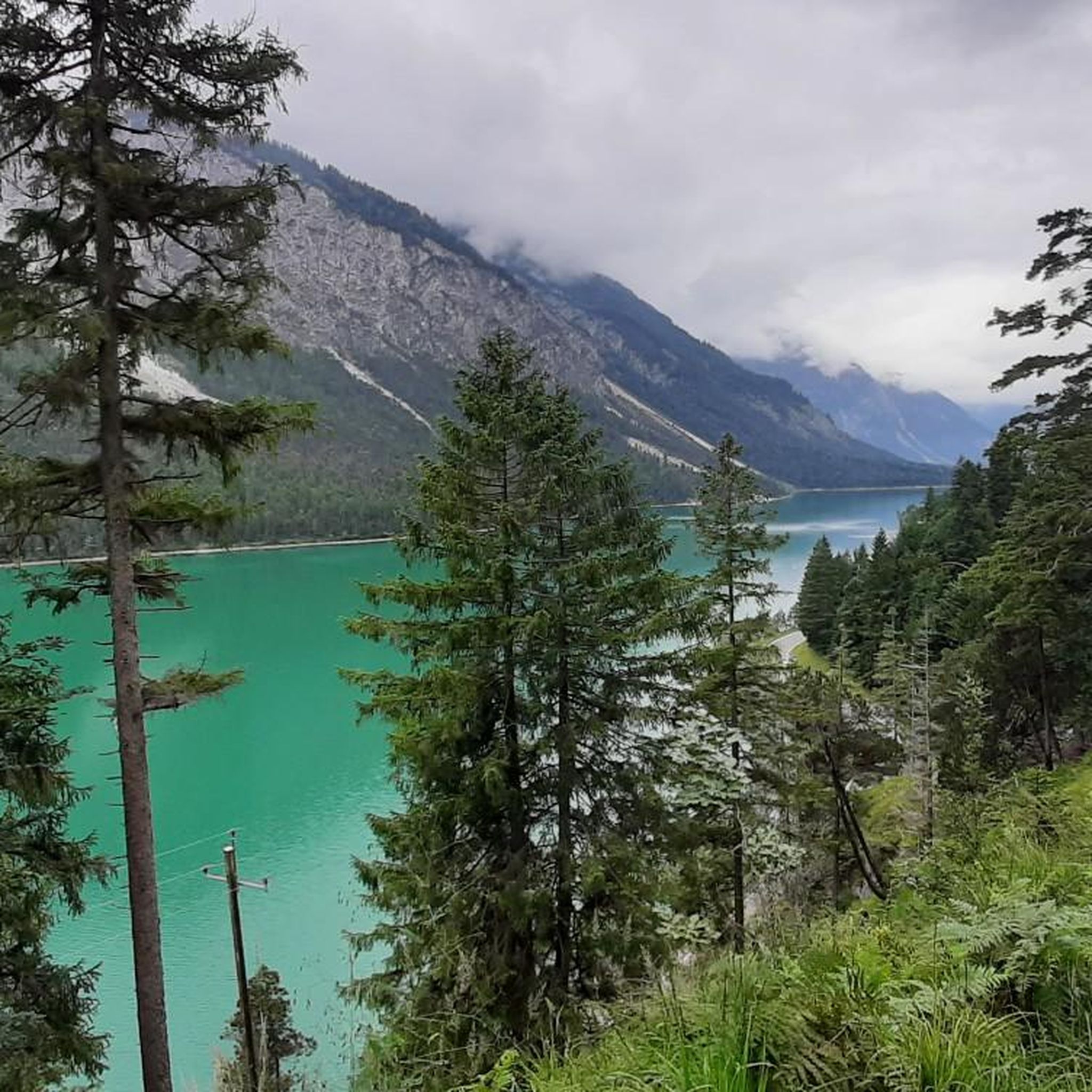
エイプ湖の眺め
ハイライト • 展望台
翻訳者 Google •
役立つ情報 は

ブラントアーシュローフェン山頂
ハイライト • 山頂
翻訳者 Google •
役立つ情報 は
無料でサインアップして、さらに多くの山を発見しましょう ブライテンヴァングでの。
無料新規登録
すでにアカウントをお持ちですか?


コミュニティからのヒント

The summit cross on the Branderschrofen marks the highest point of the Tegelberg in the Ammergau Alps near Schwangau, Bavaria. At 1,881 meters, it offers impressive 360-degree views of the surrounding mountains, lakes, and valleys. The climb from the Tegelberghaus to the summit is challenging, as some sections are secured with wire ropes and require surefootedness and a head for heights. The path to the summit leads through mountain pine fields and over rocky sections secured with wire ropes. A striking feature is a 2.5 x 2.5 meter notch in the mountain, which offers a sweeping view of Lake Forggensee.
49
0
The Tegelberg mountain station is a popular starting point for hikers, paragliders, and nature lovers. Located at an altitude of approximately 1,700 meters, it is easily accessible by the Tegelberg cable car. From the station, guests can enjoy impressive panoramic views over the Alpine foothills and Hohenschwangau, as far as the Zugspitze on a clear day.
51
6

It's always worth going to the Tegelberg, great view and depending on your mood on foot or with the cable car
6
0

The Tegelberg is worth a visit at any time of the year, you can either take the cable car up or hike up and from there there are a number of hiking routes with great views.
13
3

The Calvary can also be climbed from the Schwansee and offers beautiful views, the building itself with its countless niches and corridors and especially the corridor carved into the rock to a beautiful little chapel is beautiful. For the descent, there is the Alpenrosenweg, which leads around the Schwansee at an elevated position on the back to the Alpsee and then Hike between the castles back to the Schwansee. After the hike you understand why the royal family had their castle park there!!!
8
1

You can enjoy the alpine panorama here
16
0

From here you have a beautiful all-round view of Füssen, the Schwansee and the surrounding mountains.
9
0

komootモバイルアプリでインスピレーションを得よう


さらに探索
これらのガイドでさらに素晴らしい頂上を見てみましょうブライテンヴァングでの:
