エルシュヴィルのおすすめウォーキング&ハイキングルート
4.6
(1928)
7,268
ハイカー
12
ハイキング
エルシュヴィル周辺でのハイキングは、景色を満喫するのに最適な手段のひとつですが、適切なハイキングルートを見つけることは簡単ではありません。 エルシュヴィル周辺の人気ハイキング&ウォーキングコースを参考にすれば、行きたいルートをすぐに見つけられます。
最終更新日: 10月 14, 2026
4.6
(9)
27
ハイカー
9.25km
03:20
460m
460m
難しいハイキング. ある程度のフィットネスレベルが必要です。 安定して歩行できる技術、丈夫な靴、高標高地での登山経験が必要です。
5.0
(1)
15
ハイカー
13.1km
04:09
500m
500m
中程度のハイキング. ある程度のフィットネスレベルが必要です。 進みやすいルートです。あらゆるスキルレベルに適しています。

4.3
(6)
15
ハイカー
5.86km
01:49
210m
210m
初級者向けハイキング. あらゆるフィットネスレベルに適しています。 進みやすいルートです。あらゆるスキルレベルに適しています。
5.0
(2)
8
ハイカー
14.8km
04:58
680m
680m
中程度のハイキング. ある程度のフィットネスレベルが必要です。 全般的に進みやすいルートです。安定して歩行できる技術が必要です。
5
ハイカー
9.07km
03:07
440m
440m
中程度のハイキング. ある程度のフィットネスレベルが必要です。 全般的に進みやすいルートです。安定して歩行できる技術が必要です。
さらに多くのルートや他のユーザーのおすすめ情報を確認できます。
すでにアカウントをお持ちですか?
おすすめのツアーは他のkomootユーザーが実際に経験した何千ものアクティビティに基づいています。
無料アカウントで今日から始めよう
次の冒険が待っています。
コミュニティからのヒント

Beautiful rest area with wayside cross and signpost
4
0
Striking wayside cross, not far from the rest area
6
0
Here the hiking trail branches off towards Welschgätterli/Stierenberghütte/Erschwil/Grindel
6
0
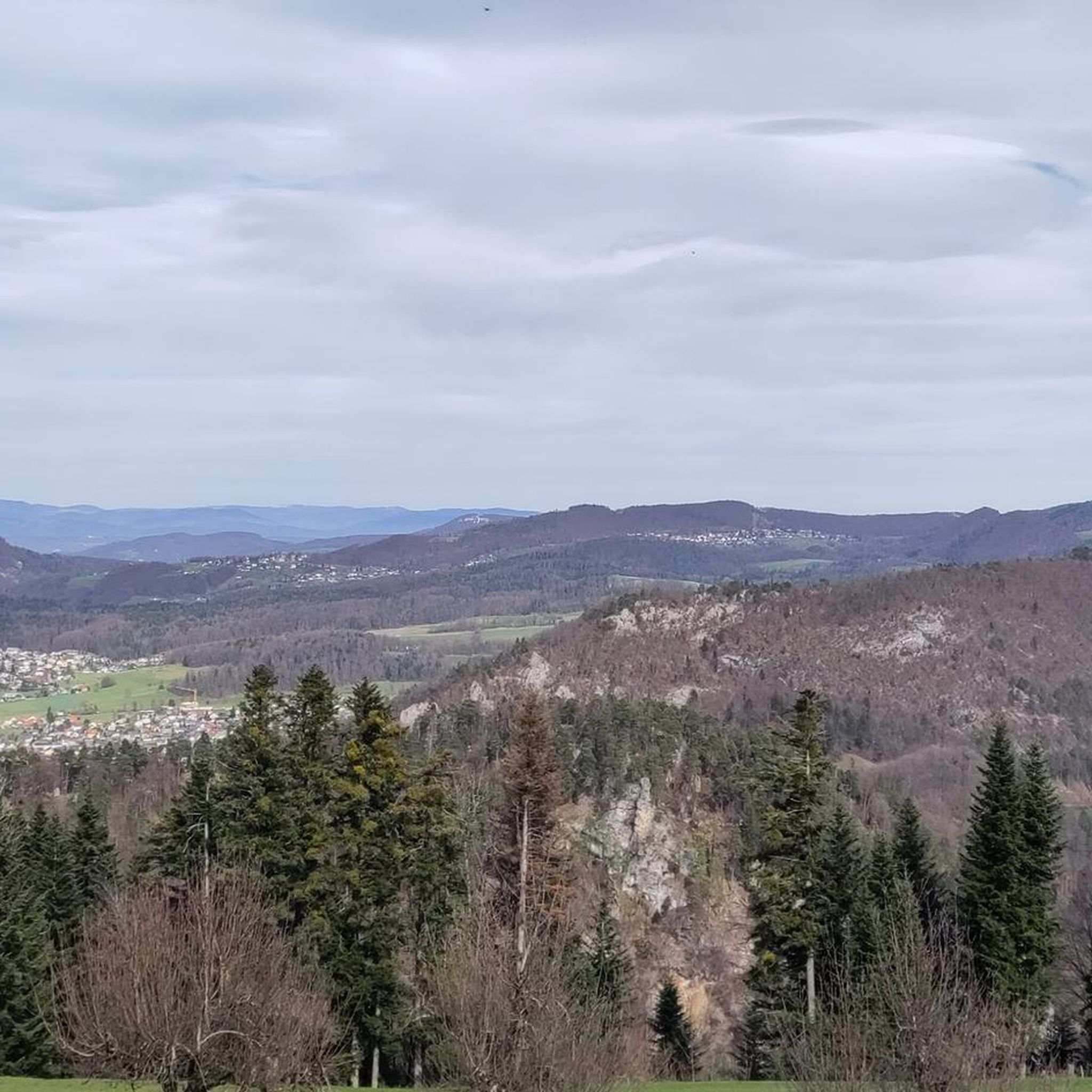
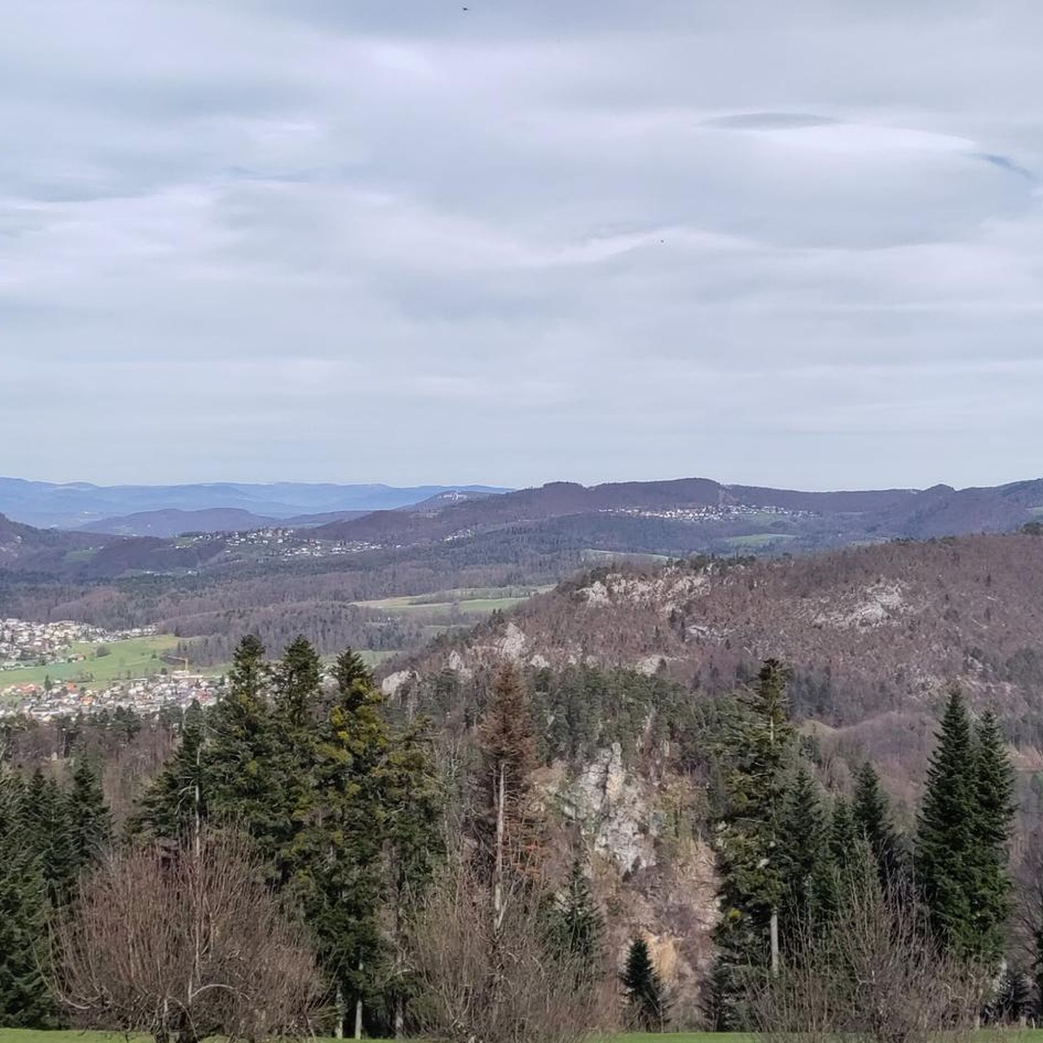
Wonderful viewpoint. There is even a bench
5
0
The Welschgätterli is a mountain pass between Montsevelier in the canton of Jura and Erschwil in the canton of Solothurn. Its summit is at an altitude of 810 meters above sea level, directly on the border between the two cantons. A yellow-marked hiking trail leads over the pass, connecting the two villages. You can also hike past the Welschgätterli on the Chemin du Val Terbi, which takes you on a circular route over the heights around Montsevelier. From the summit of the pass, the hike to Montsevelier takes about half an hour and to Erschwil around 40 minutes.
5
0
Beautiful rest area with a wonderful view
6
0


komootモバイルアプリでインスピレーションを得よう


