トートナウベルクの絶景の山頂・トップ20
絶景を目指して登るのであれ、達成感のために登るのであれ、山頂を訪れることで、トートナウベルクの美しい自然をもっと満喫することができます。20
もの選択肢の中から、制覇する山頂を決めるのは簡単ではありません。スムーズに次の冒険で目指す山頂を選べるように、トートナウベルクの素晴らしい山頂をこのガイドにまとめました。
最終更新日: 9月 12, 2026
フェルトベルク山頂
ハイライト • 山頂
翻訳者 Google •
役立つ情報 は

シーボック山頂のビスマルク記念碑
ハイライト • 記念碑
翻訳者 Google •
役立つ情報 は

今すぐサインアップして、こんな場所を発見しよう
最高のシングルトラック、ピーク、その他のエキサイティングなアウトドアスポットのおすすめを受け取ろう。
フェルドベルクの道
ハイライト • 山頂
翻訳者 Google •
役立つ情報 は

ベルヒェン山頂(1,414 m)
ハイライト • 山頂
翻訳者 Google •
役立つ情報 は

シャウインスラント展望塔
ハイライト • 展望台
翻訳者 Google •
役立つ情報 は

無料でサインアップして、さらに多くの山を発見しましょう トートナウベルクでの。
すでにアカウントをお持ちですか?
無料アカウントで今日から始めよう
次の冒険が待っています。
トートナウベルク周辺で人気
トートナウベルクでのの他の冒険


コミュニティからのヒント

When the weather is good, I have a beautiful 360° view of the Black Forest from the top of the Feldberg.
16
2

The Belchen is not the highest mountain, but it is one of the most beautiful mountains in the Black Forest, because it offers visitors a fantastic panoramic view of the Rhine Valley, the Vosges and, in good weather, even as far as the Alps. As one of the most popular excursion destinations in the southern Black Forest, the Belchen is well frequented all year round.
25
2

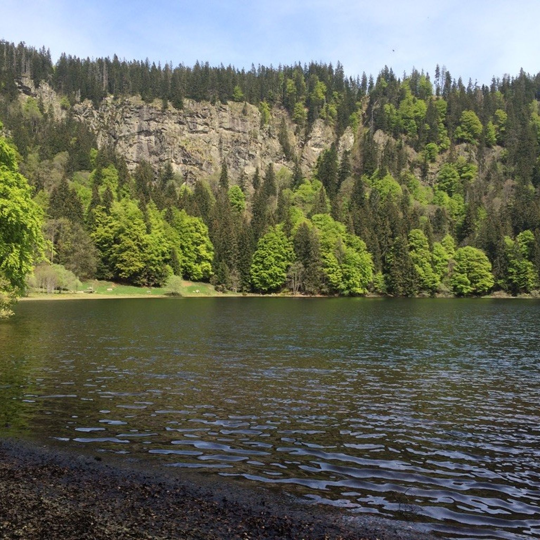
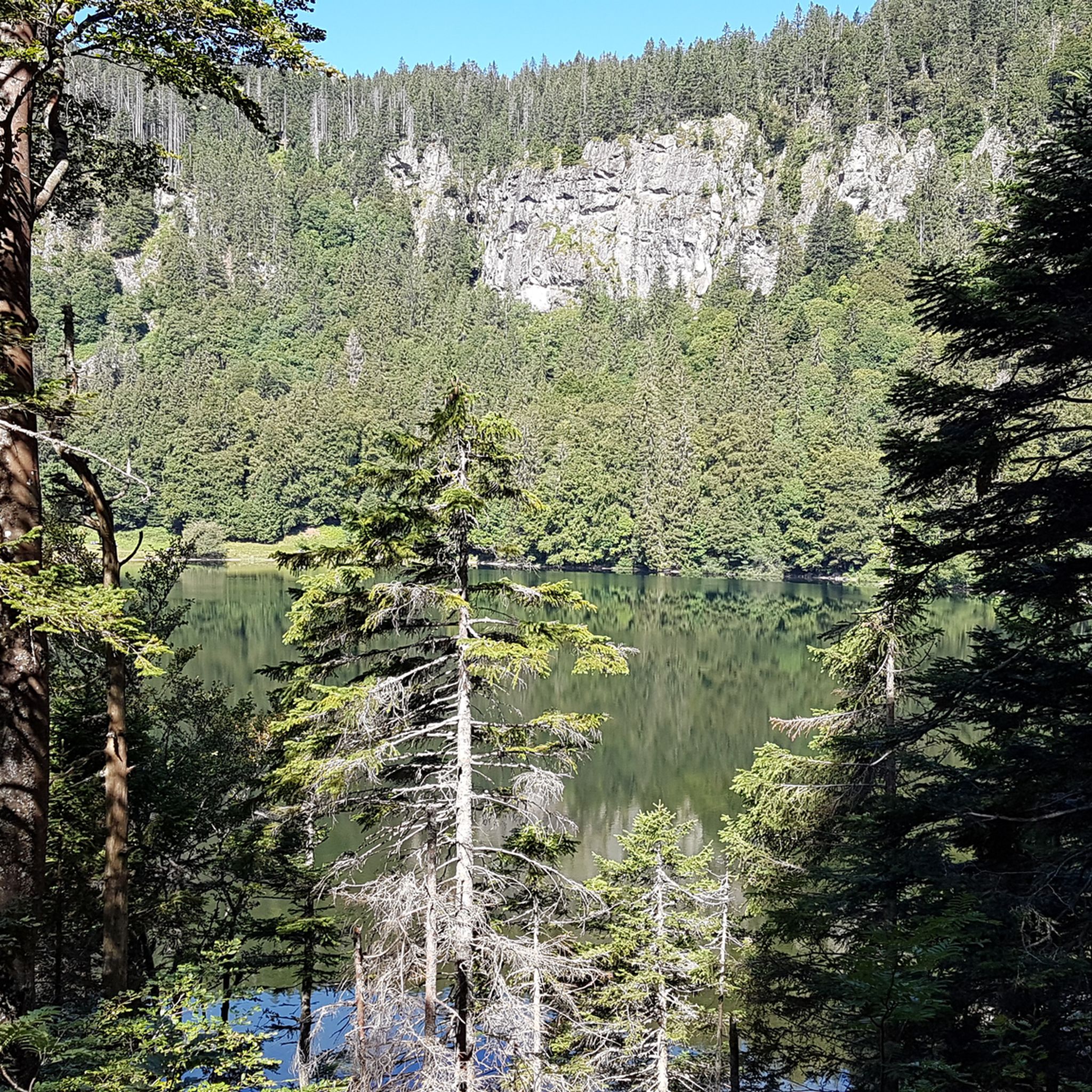
Wonderful view of the Feldbergsee. Behind it you can see the Raimartihof, which invites you to rest after the long descent. Hinterzarten is further away.
13
0

The tower, named after the Baden Grand Duke Friedrich I and his wife Luise, was built in 1913 and is now used by the German Weather Service as a weather radar system, which is housed in the radome above.
18
1

From https://www.schwarzwald-aktuell.eu/gschichtle/g-schichtle-die-wetterstation-auf-dem-feldberg summit: A weather observation station of the German Weather Service is located on the Feldberg summit. There are around 100 such stations in Germany. Every change is registered here every hour: air pressure, humidity, temperature, sunshine duration, cloud height, wind speed and much more. A weather radar system is located next to the weather station. It belongs to the radar network of the German Weather Service. It is used to determine the amount of precipitation. The radar sphere has a range of around 200 km and scans the sky 360° horizontally and 90° vertically.
19
1

The most beautiful mountain in the southern Black Forest. Three-country view - you turn in a circle and you can see Switzerland/France/ and the beautiful southern Black Forest :) breathtaking. Due to its open location, weatherproof and warm clothing is absolutely necessary!
8
0

More information under the following link: https://www.hochschwarzwald.de/Attraktionen/Bismarckdenkmal-auf-dem-Seebuck
18
1

In order to get the best angle for a landscape view of the Feldsee, it is worthwhile to walk down the narrow path behind the Bismarck monument about halfway up. From there you have the best view. But be careful: do not leave the existing paths and when using a tripod make sure not to destroy the roots of the plants 🌱
14
0

komootモバイルアプリでインスピレーションを得よう


さらに探索
これらのガイドでさらに素晴らしい頂上を見てみましょうトートナウベルクでの:
