ラインフェルデン(バーデン)の絶景の山頂・トップ11
絶景を目指して登るのであれ、達成感のために登るのであれ、山頂を訪れることで、ラインフェルデン(バーデン)の美しい自然をもっと満喫することができます。11
もの選択肢の中から、制覇する山頂を決めるのは簡単ではありません。スムーズに次の冒険で目指す山頂を選べるように、ラインフェルデン(バーデン)の素晴らしい山頂をこのガイドにまとめました。
最終更新日: 9月 13, 2026
ホーエメーア塔
ハイライト • 記念碑
翻訳者 Google •
役立つ情報 は

ホーエ・フルム展望塔
ハイライト • 展望台
翻訳者 Google •
役立つ情報 は

今すぐサインアップして、こんな場所を発見しよう
最高のシングルトラック、ピーク、その他のエキサイティングなアウトドアスポットのおすすめを受け取ろう。
シャルテンフルエ
ハイライト • 展望台
翻訳者 Google •
役立つ情報 は

Eigenturm 展望塔
ハイライト • 展望台
翻訳者 Google •
役立つ情報 は

シュライフェンベルク塔
ハイライト • 展望台
翻訳者 Google •
役立つ情報 は

無料でサインアップして、さらに多くの山を発見しましょう ラインフェルデン(バーデン)での。
すでにアカウントをお持ちですか?
無料アカウントで今日から始めよう
次の冒険が待っています。
ラインフェルデン(バーデン)周辺で人気
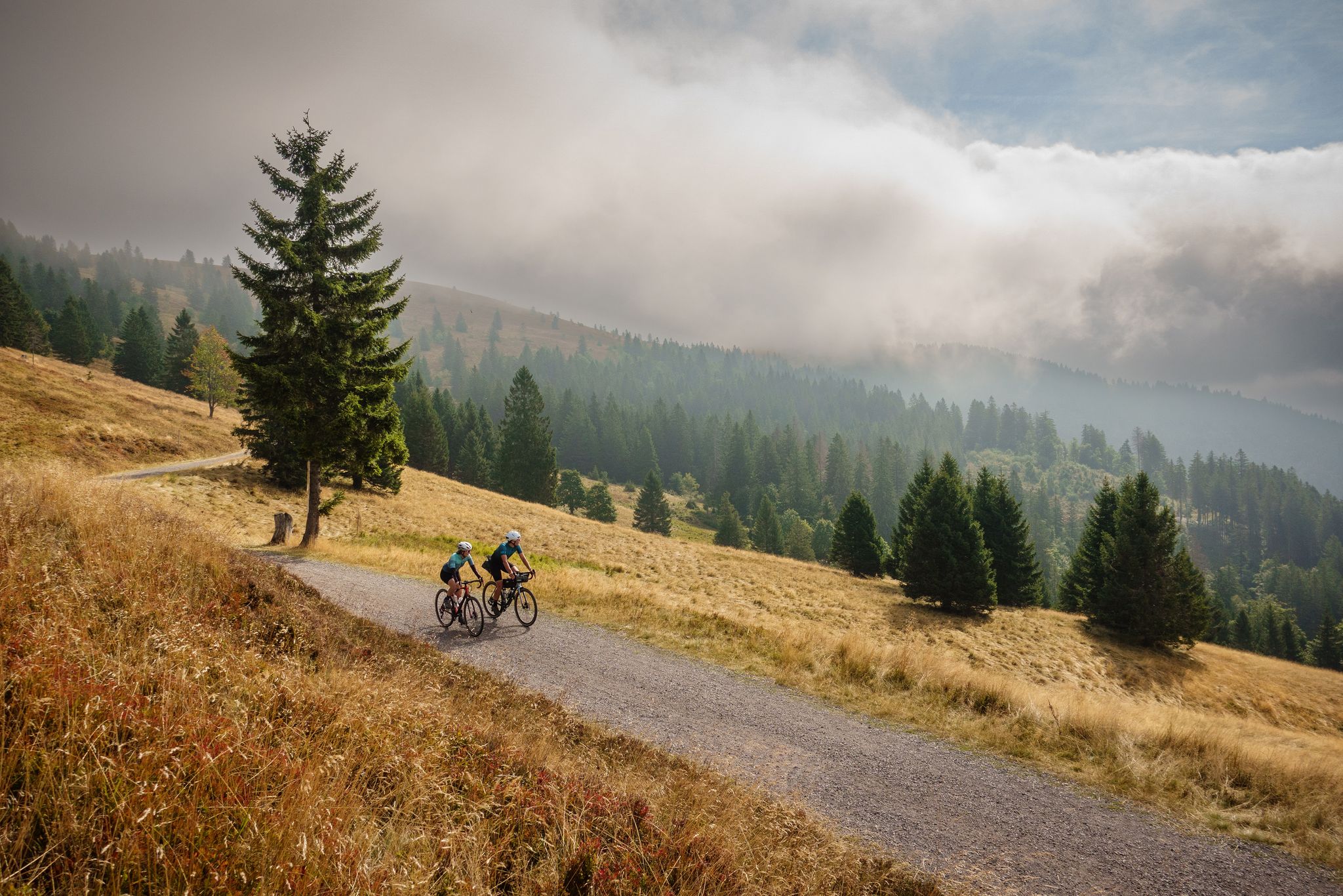
Nature, mountains and freedom – gravel and cycle Tours in the Black Forest
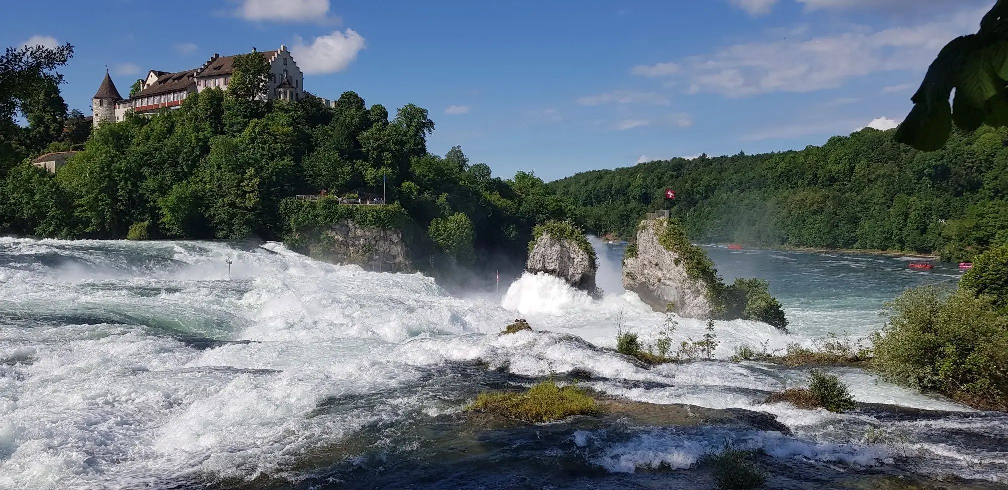
ドイツからスイスまでの森と川 – Hochrhein-Höhenweg
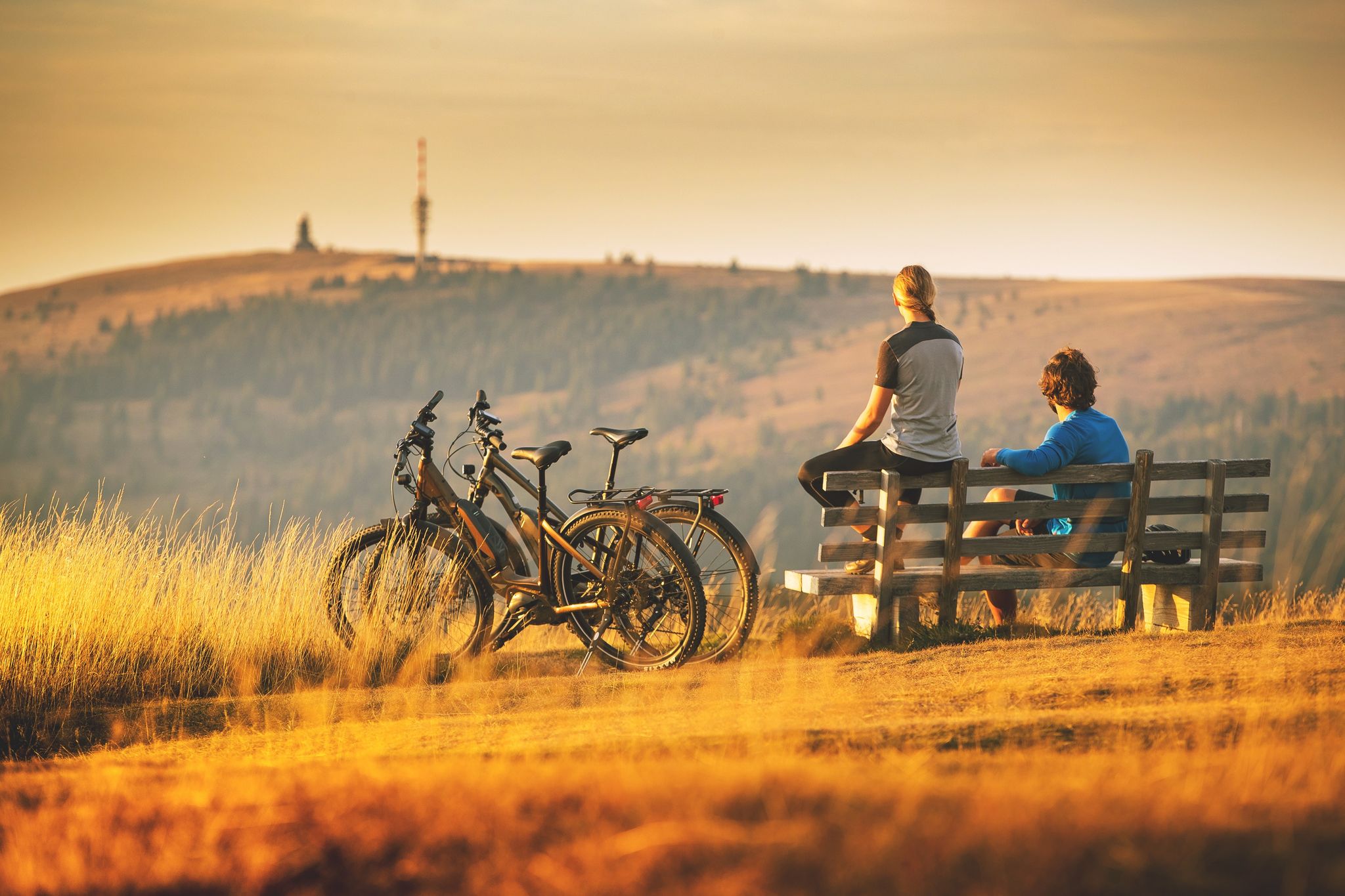
Sunny rides up to heights in the Black Forest
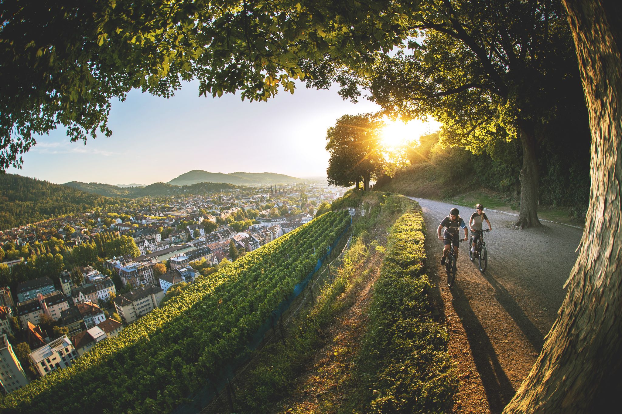
Black Forest gateau and how to burn it off again
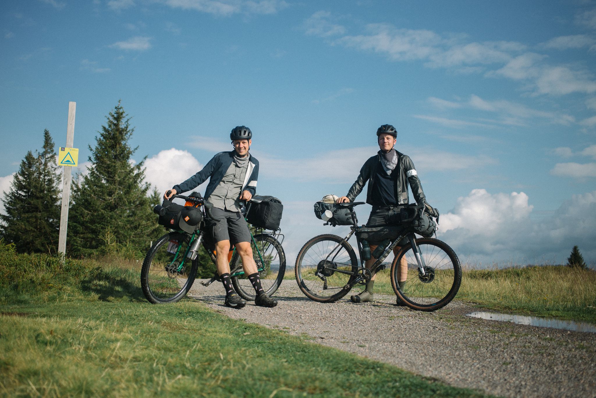
ブラック・フォレストとエルザスのバイクパッキング
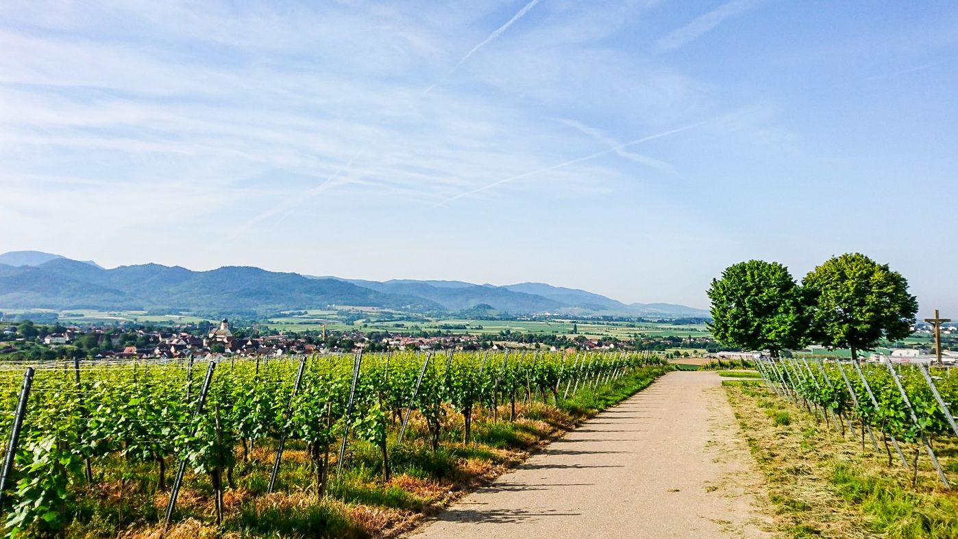
Südschwarzwald-Radweg – 5ステージの心地よい自然
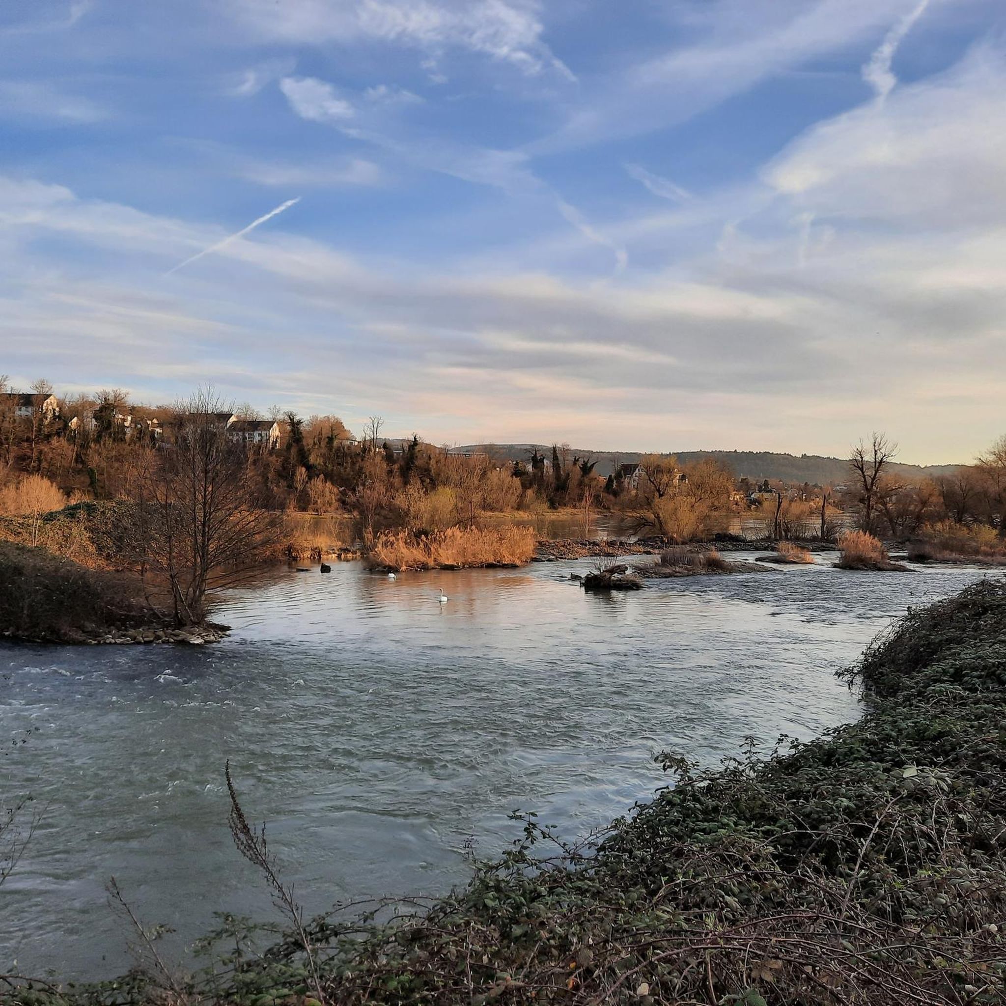
ラインフェルデン(バーデン)でのサイクリング
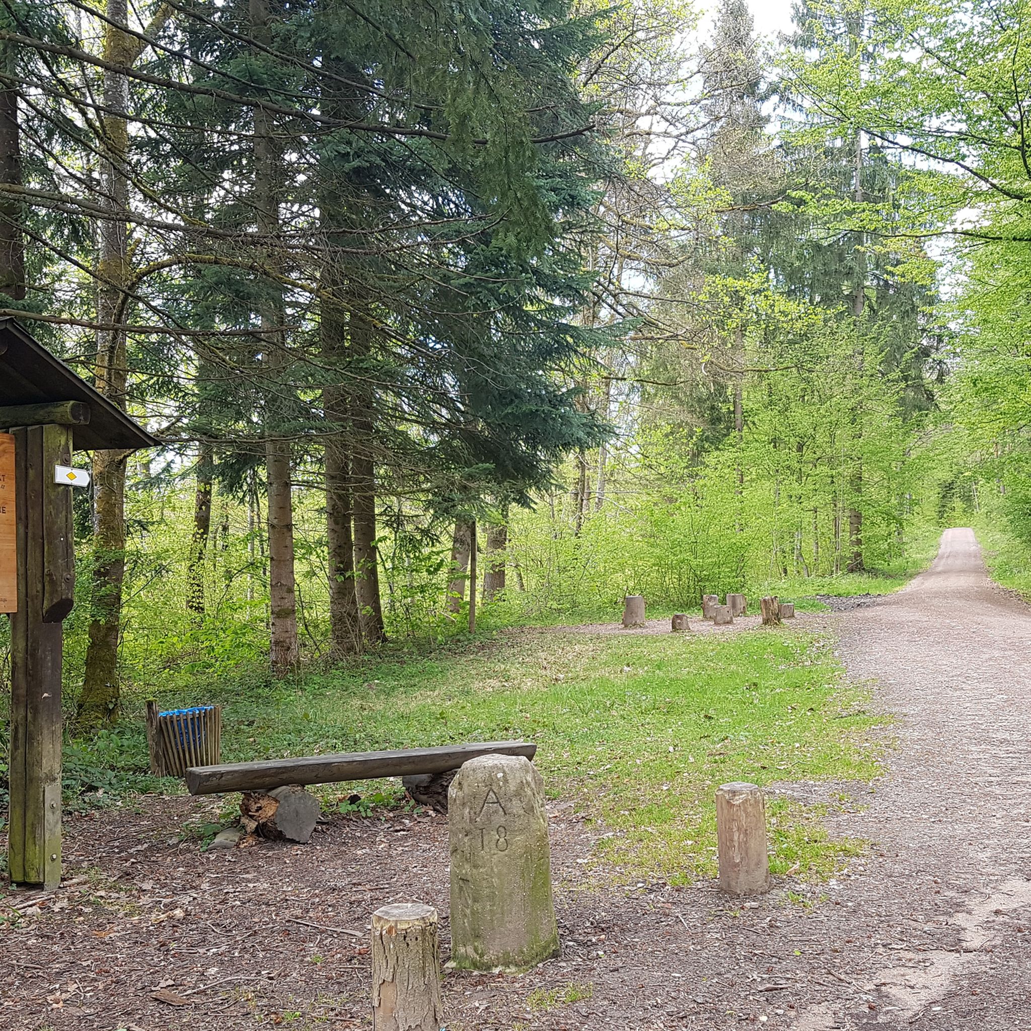
ラインフェルデン(バーデン)でのハイキング
ラインフェルデン(バーデン)のMTBトレイル
ラインフェルデン(バーデン)のロードバイクルート
ラインフェルデン(バーデン)でのの他の冒険


コミュニティからのヒント

The observation tower on Schleifenberg is 30 meters high. Those who manage to climb to the top (after paying the entrance fee) enjoy a magnificent view of the Liestal valley and far beyond. At the foot of the tower lies the Turmwirtschaft (Tower Inn). Its hosts are around ten groups of innkeepers who bring the inn to life every Sunday and public holiday throughout the year. They cook and serve for their guests out of sheer joy in working together.
3
0
ホーエ・フルム塔は、ディンケルベルクの最高峰、海抜535メートルに建っています。 高さ13.5メートルの塔は1874年に建てられました。62段の階段が展望台へと続いています。そこからは、あらゆる方向への素晴らしいパノラマビューが楽しめます。南方向にはスイスのジュラ山脈が見え、天気が良ければその奥にアルプスが見えます。西方向にはヴォージュ山脈、北と東方向には黒い森が見えます。エンテガスト、ツェラー・ブラウエン、ホーエ・メーアなどを望めます。
5
0

You actually only need the tower for the view towards the Black Forest.
7
0
The Schleifenberg Tower is an observation tower in the municipality of Liestal in the canton of Basel-Landschaft. The current steel framework tower was built in 1900 by the Liestal Transport and Beautification Association to replace the previous wooden tower (built in 1891). Renovation work was carried out on the tower in 1932, 1985 and 2007. Maintenance is ensured by the Liestal Tourism Association, which is also responsible for the tower restaurant. When a team of hosts opens the tower restaurant, this is traditionally signaled by the flag hoisted on the top of the tower; otherwise no flag is visible. Access is via a turnstile with cash payment by inserting coins. With an entrance fee of CHF 0.50, you can climb 150 steps to the observation platform at a height of 28.5 meters. https://de.m.wikipedia.org/wiki/Schleifenbergturm
7
1

The climb (fee required) can be used at any time. The restaurant is only open on Sundays and public holidays.
3
0


Top view from east, Swiss Alps, to west into the French Jura.
1
0

Beautiful views in all directions and worth a breather once you've completed the climb. 🤩
1
0
ラインフェルデン(バーデン)でのの人気ルート
ラインフェルデン(バーデン)でのの人気観光スポット

komootモバイルアプリでインスピレーションを得よう


さらに探索
これらのガイドでさらに素晴らしい頂上を見てみましょうラインフェルデン(バーデン)での:
