シュトゥットガルトの絶景の山頂・トップ10
絶景を目指して登るのであれ、達成感のために登るのであれ、山頂を訪れることで、シュトゥットガルトの美しい自然をもっと満喫することができます。10
もの選択肢の中から、制覇する山頂を決めるのは簡単ではありません。スムーズに次の冒険で目指す山頂を選べるように、シュトゥットガルトの素晴らしい山頂をこのガイドにまとめました。
最終更新日: 8月 31, 2026
ヴュルテンベルクの埋葬礼拝堂
ハイライト • 記念碑
翻訳を表示中
役立つ情報 は

グリューナー・ハイナー展望台
ハイライト • 展望台
翻訳者 Google •
役立つ情報 は

今すぐサインアップして、こんな場所を発見しよう
最高のシングルトラック、ピーク、その他のエキサイティングなアウトドアスポットのおすすめを受け取ろう。
無料新規登録
ビルケンコップ展望台
ハイライト • 展望台
翻訳者 Google •
役立つ情報 は

キレスベルク塔
ハイライト • 展望台
翻訳者 Google •
役立つ情報 は
カールスヘーエからの眺め
ハイライト • 展望台
翻訳者 Google •
役立つ情報 は
ローレル・ヘーエの石畳の道
ハイライト • サイクリングロード
翻訳者 Google •
役立つ情報 は

バスティオン・ライプフリート展望台
ハイライト • 展望台
翻訳者 Google •
役立つ情報 は

シュトゥットガルト フェルンメルトゥルム(フラウエンコプフ)
ハイライト • 記念碑
翻訳者 Google •
役立つ情報 は

ベルンハルトシューエ – シュトゥットガルトで最も高い地点
ハイライト • 山頂
翻訳者 Google •
役立つ情報 は
キレスベルク山頂(383m)への登り
ハイライト • 山頂
直接的な歩道が下へと続き、キレスベルク公園の横の入り口に通じています。
翻訳を表示中
役立つ情報 は
無料でサインアップして、さらに多くの山を発見しましょう シュトゥットガルトでの。
無料新規登録
すでにアカウントをお持ちですか?
無料アカウントで今日から始めよう
次の冒険が待っています。
ログインまたは登録
シュトゥットガルト周辺で人気
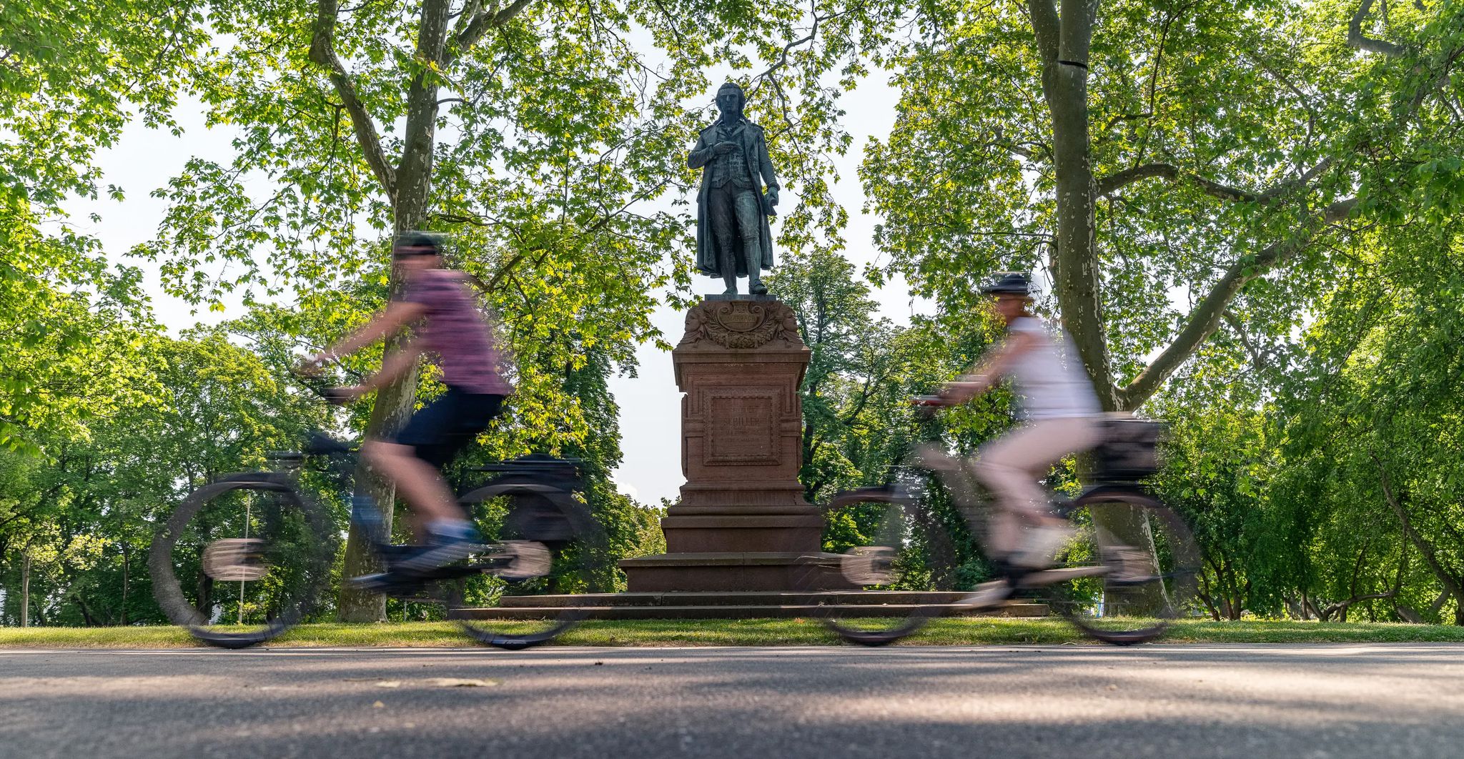
Culture over mileage – cultural Highlights on the Neckar Valley Cycle Path

#GoFurther – discover the views of Germany!
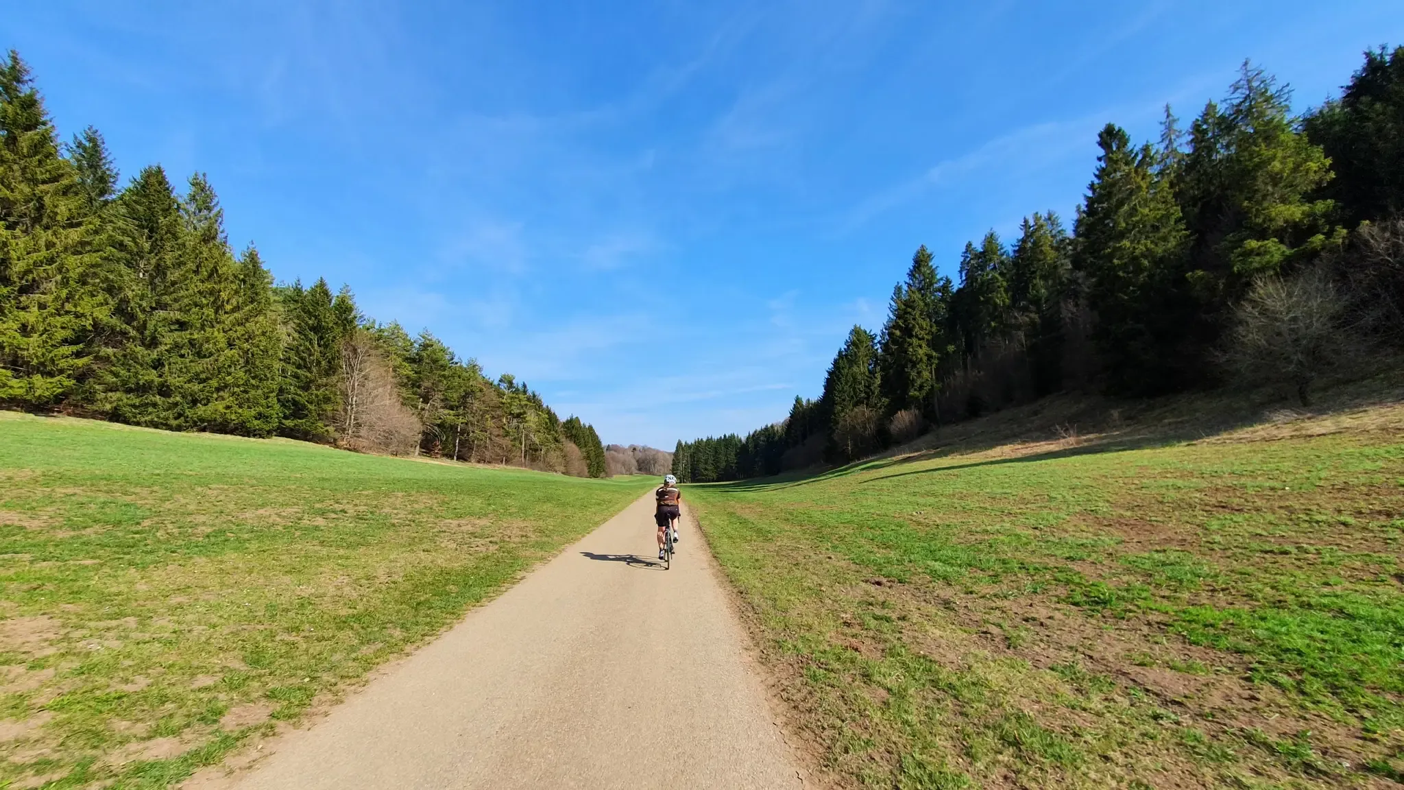
ドイツのシュトットガルトからウルムへサイクリング
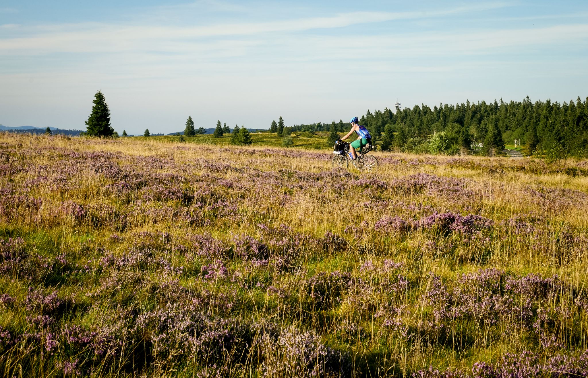
2つの姉妹都市の間 - シュトットガルトからストラスブルクまで
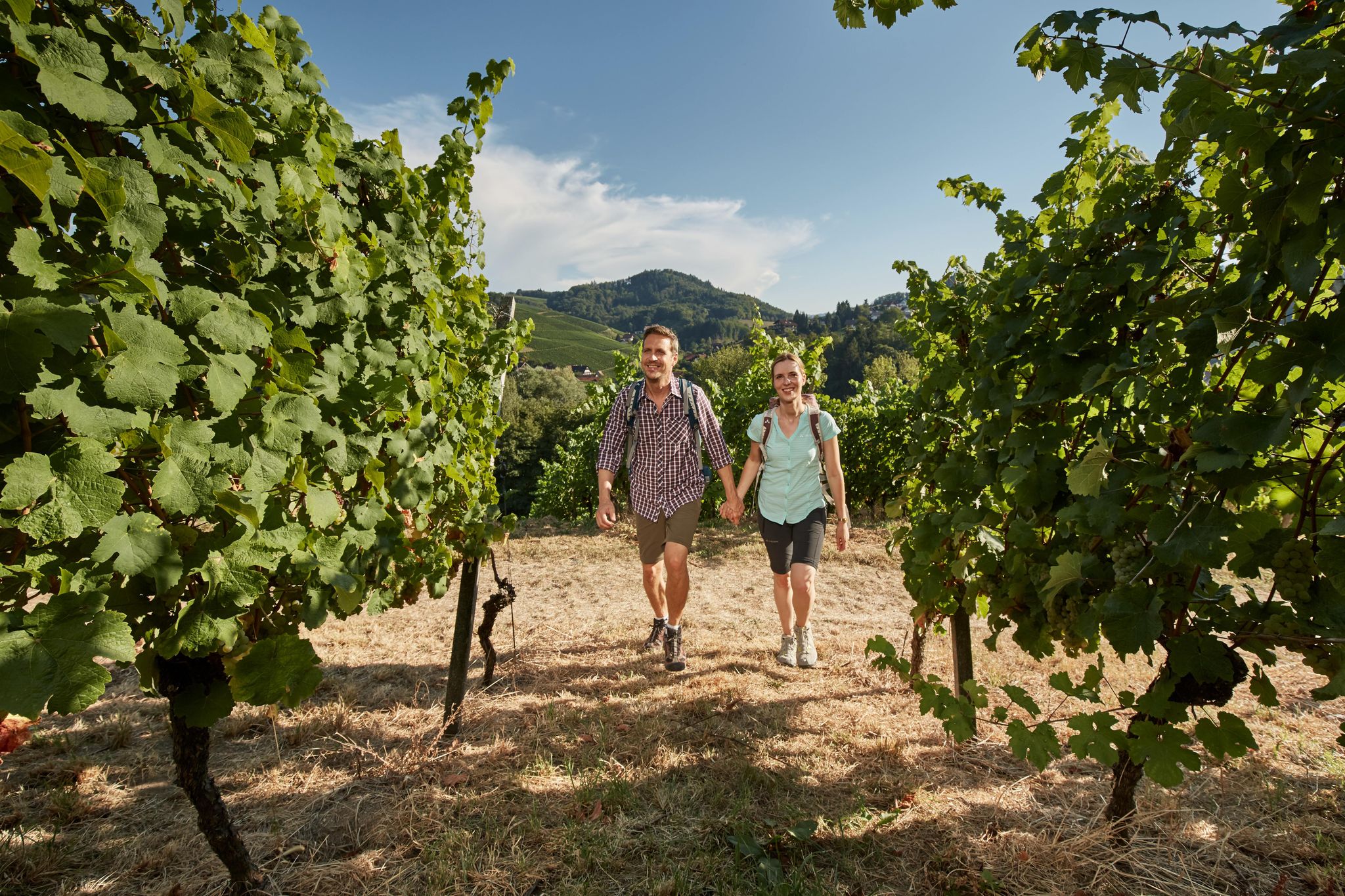
Foodie walks in southern Germany — hiking in Baden-Württemberg
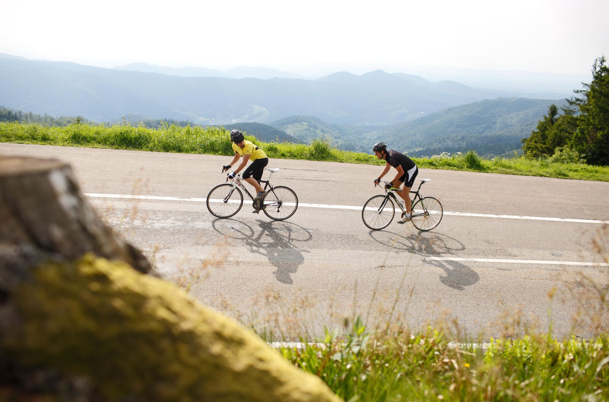
Discover Germany’s Baden-Württemberg by road bike
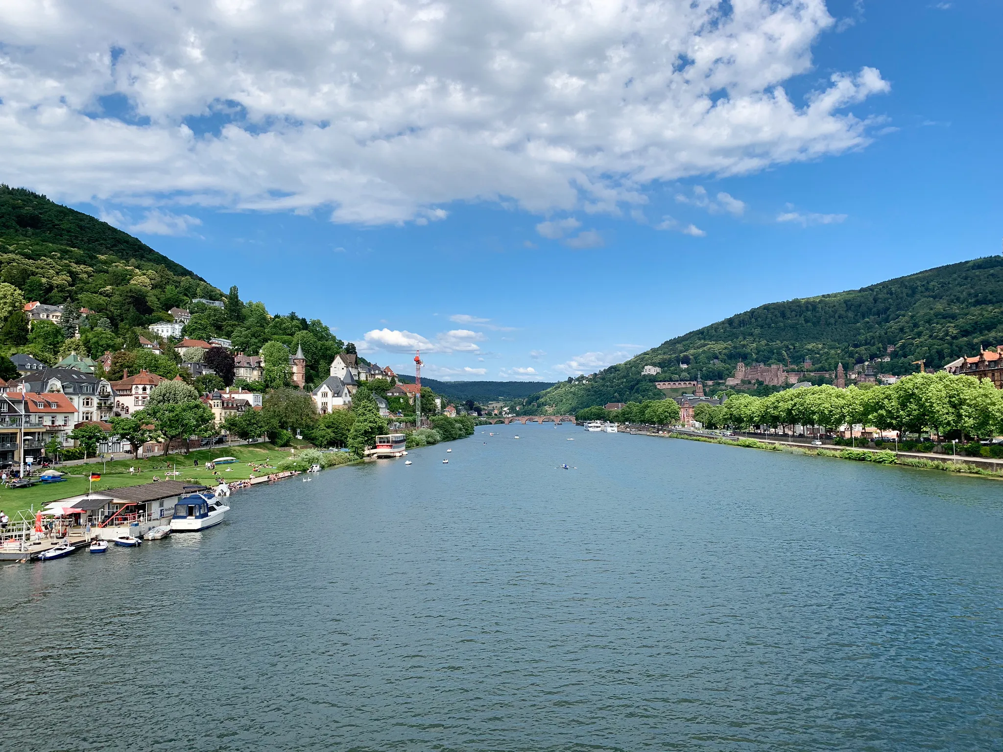
Natural idylls near cities — hiking in Southern Germany
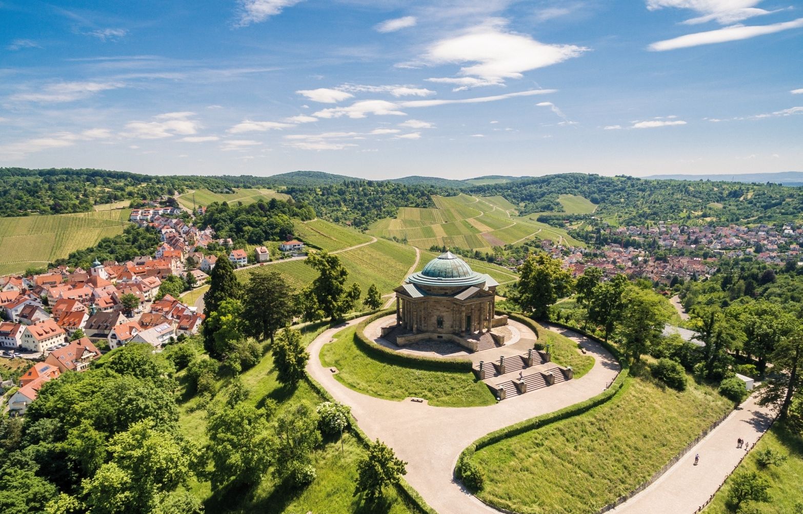
From grape to glass — 8 wine hikes in Württemberg
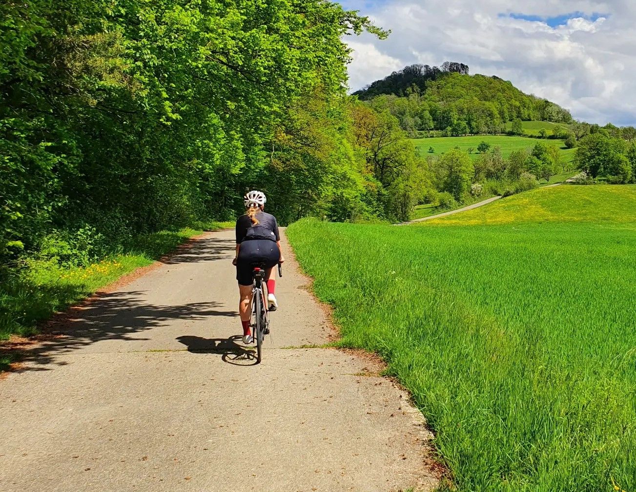
自転車に乗り、ストゥットガルトの壺から出ていくーストゥットガルトの周りでレース自転車の楽しみ
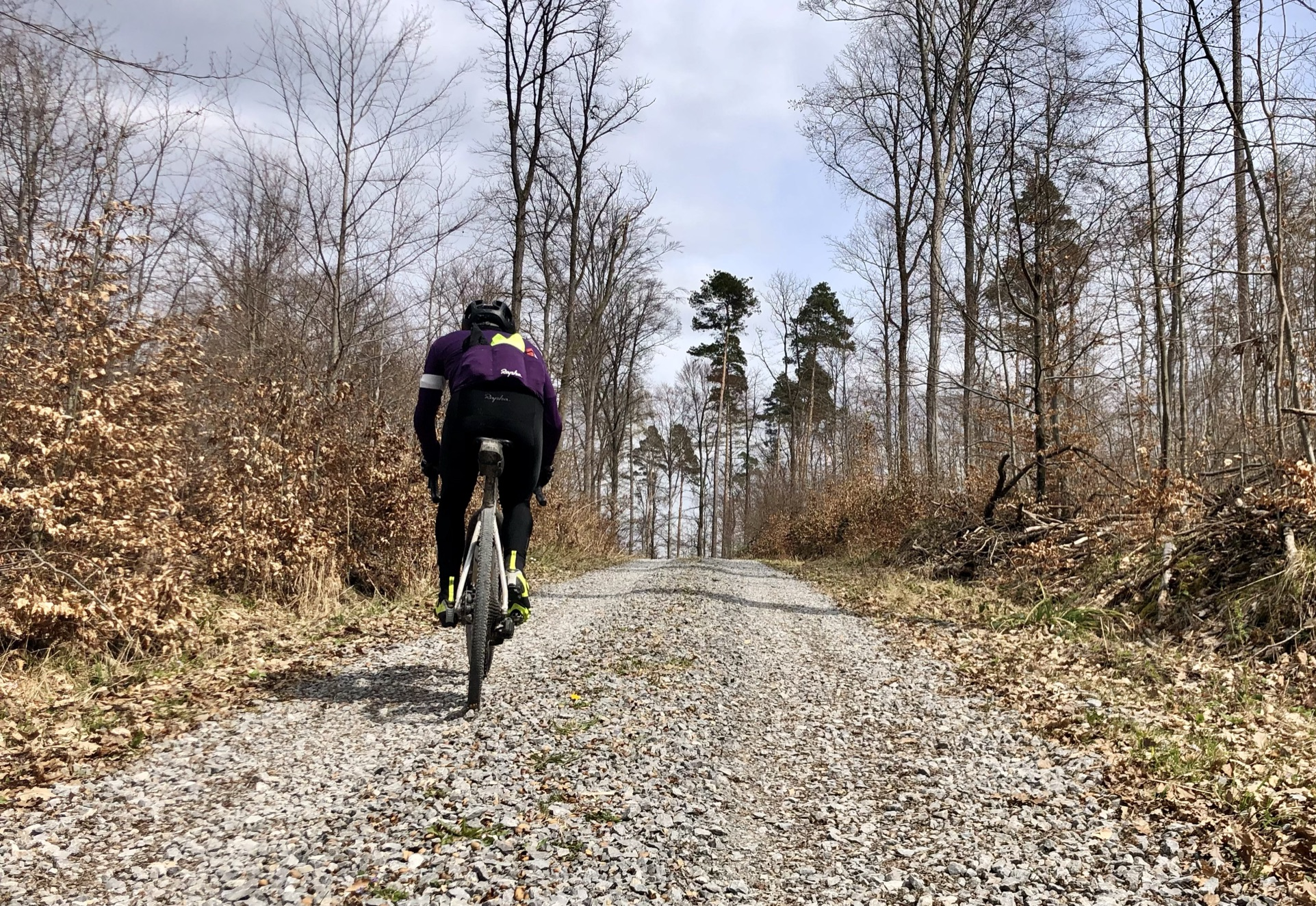
シュトットガルターの砂礫の幸運 - バセインの周りのグラベルツアー
シュトゥットガルトでのの他の冒険


コミュニティからのヒント

山の頂上には「Das DRK-Stuttgart-Haus」があります。 直接的な歩道が下へと続き、キレスベルク公園の横の入り口に通じています。
9
0

A steep staircase leads from Killesberg Park to the actual summit of Killesberg. Unfortunately, there is only a water reservoir there; there is no view in any direction from this point.
5
0

From here you can enjoy a wide view over the city to the Swabian Alb – a quiet location and ideal for a break in the countryside.
10
0

A breezy experience. It sways a bit up there, but it's worth it: the panoramic view is fantastic. I especially like the view across to the Pragsattel and out into the Neckar Valley. Please don't forget to drop in a one-euro donation. It's inexpensive and helps!
1
0
The hill was artificially raised in the 1950s, mainly using large amounts of rubble. The new hill that was created was initially called Heiner by the locals and soon became a destination for excursions. After it was overgrown with grass and other vegetation, the new conical hill was given the new nickname Green Heiner because of its more pleasing appearance. It owes its popularity in particular to the good view in clear weather.
11
0
First and foremost a place of statistical value, as it is home to the highest elevation in Stuttgart at 549m. Unfortunately, apart from a large marker stone that stands on a large meadow, there is no view here. From the benches that stand here, you only see dense bushes, and even in autumn and winter there is no view at all. Instead, there is a monotonous background noise from the nearby motorway junction.
9
0

History The origin of the name Killesberg is uncertain. However, it is believed that the term derives from "Külle" (Celtic for hilltop or knoll). Until the beginning of the 20th century, Killesberg was an undeveloped hill used for viticulture. Sandstone was quarried there from at least the 16th century. In 1904, the resulting area was initially used for storing rubble and waste. In preparation for the 1939 Reich Garden Show, the area was transformed into a recreational area starting in 1937, creating the Killesberg Heights Park. Prior to this, the Weissenhof Estate was built in 1927 and the Kochenhof Estate in 1933. ... On May 28, 1940, the Stuttgart Trade Fair was founded on the Killesberg hill under the name Stuttgarter Ausstellungs-GmbH (Stuttgart Exhibition Company). From 1941, the trade fair and memorial hall in the Höhenpark (High Park) were used as a collection camp for Jewish citizens. The first train departed from there on November 27, 1941.
2
1

Probably the most beautiful, freely accessible viewpoint on Stuttgart and a wonderful rest area. The “shards” of the past make you think, but these days they offer great places to sit and play for the children.
9
2
シュトゥットガルトでのの人気ルート
シュトゥットガルトでのの人気観光スポット

komootモバイルアプリでインスピレーションを得よう


さらに探索
これらのガイドでさらに素晴らしい頂上を見てみましょうシュトゥットガルトでの:
