コルフのおすすめウォーキング&ハイキングルート
4.4
(11716)
48,238
ハイカー
956
ハイキング
コルフでのハイキングに出かけて、ペロポネソス半島のこのエリアを探索してみませんか?このガイドでご紹介するのは、komootがコルフでのハイキング・ウォーキングルートのコレクション全体を評価して選び抜いた、このエリアの人気ハイキングルートです。あなたに合った でのハイキングを見つけるには、他のユーザーがアップロードした役立つ情報や写真を閲覧し、各ルートに関するみんなの意見やコメントを参考にしましょう。
最終更新日: 9月 16, 2026
4.6
(712)
2,278
ハイカー
10.8km
03:01
200m
200m
中程度のハイキング. ある程度のフィットネスレベルが必要です。 進みやすいルートです。あらゆるスキルレベルに適しています。
4.7
(261)
786
ハイカー
9.13km
03:00
400m
400m
中程度のハイキング. ある程度のフィットネスレベルが必要です。 進みやすいルートです。あらゆるスキルレベルに適しています。

4.7
(250)
876
ハイカー
6.73km
01:56
160m
160m
初級者向けハイキング. あらゆるフィットネスレベルに適しています。 進みやすいルートです。あらゆるスキルレベルに適しています。
4.4
(199)
1,250
ハイカー
10.2km
02:42
90m
90m
中程度のハイキング. ある程度のフィットネスレベルが必要です。 進みやすいルートです。あらゆるスキルレベルに適しています。
4.8
(253)
771
ハイカー
11.1km
03:11
270m
270m
中程度のハイキング. ある程度のフィットネスレベルが必要です。 進みやすいルートです。あらゆるスキルレベルに適しています。
さらに多くのルートや他のユーザーのおすすめ情報を確認できます。
すでにアカウントをお持ちですか?
おすすめのツアーは他のkomootユーザーが実際に経験した何千ものアクティビティに基づいています。
無料アカウントで今日から始めよう
次の冒険が待っています。
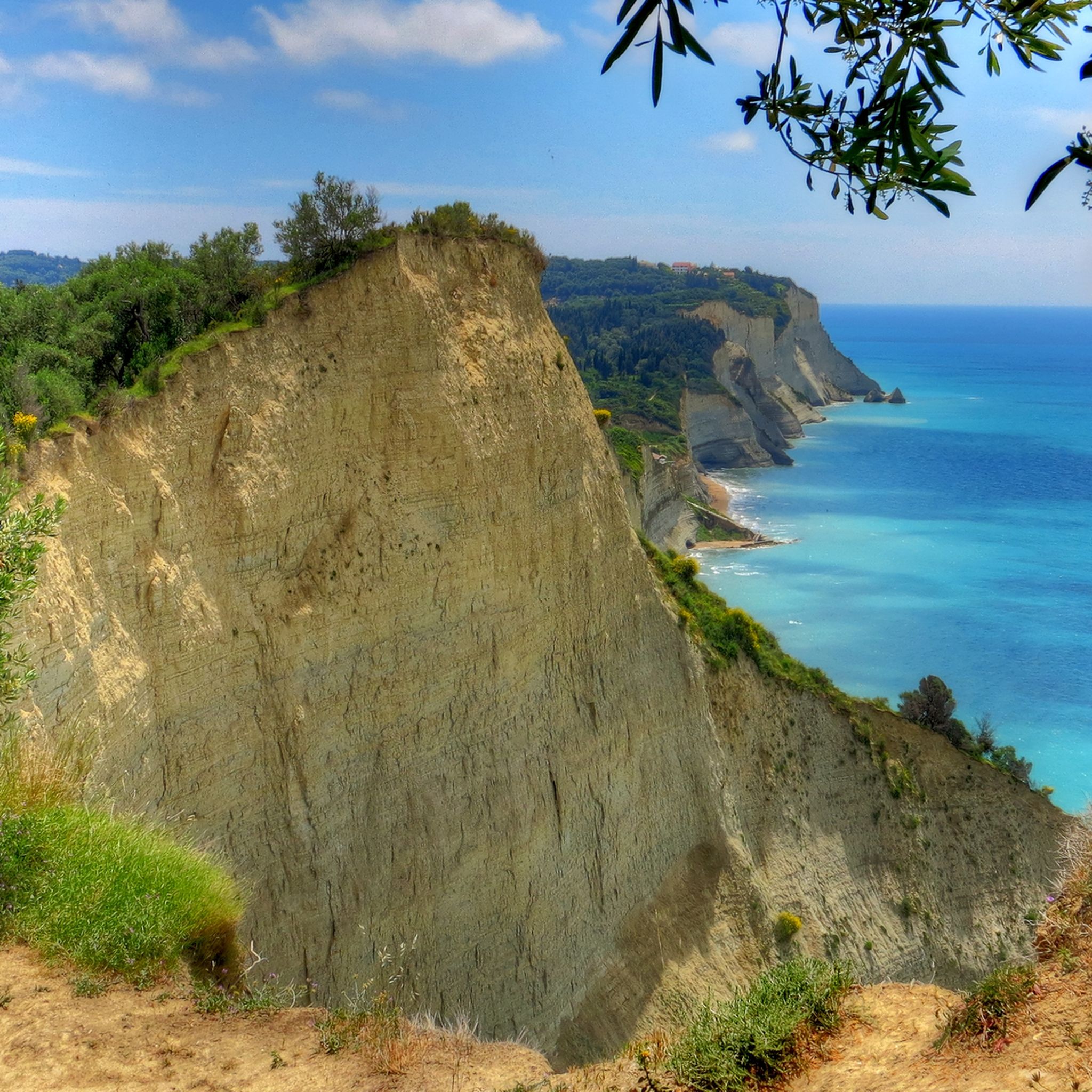
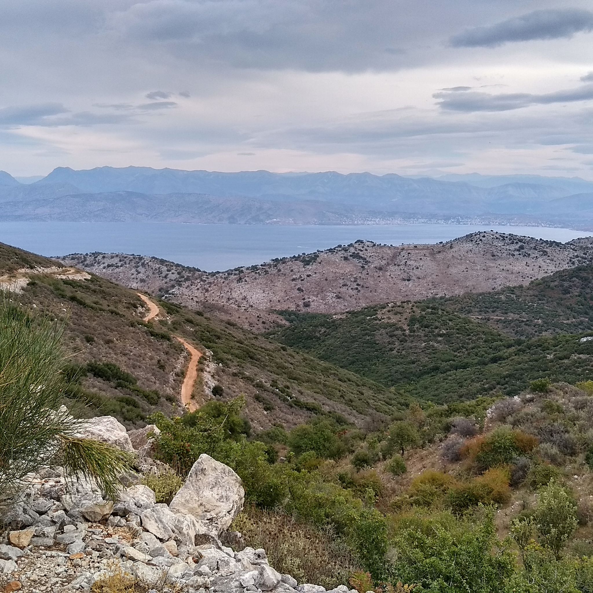
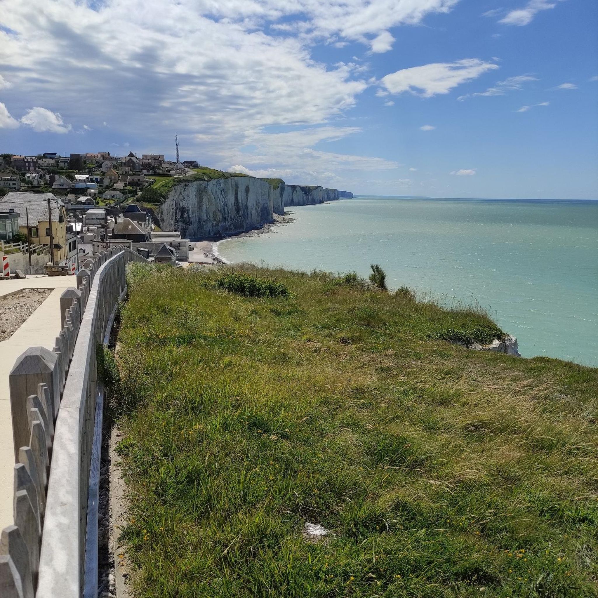


コミュニティからのヒント

Beautiful sand on the beach, but unfortunately, the first few meters into the sea are filled with large pebbles. In October, there didn't seem to be a cashier for the loungers. This is deceptive. He comes by regularly, and then you have to pay €10, regardless of the length of stay. We didn't use a lounger ourselves, but overheard British vacationers discussing things with the lounger rental agent. He agreed to negotiate the price down to €5.
0
0

Here are two tipps regarding the walk at the beach and stairs at the end of the road - they are about the other end of the beach. Not the actual cape. There is no beach walk towards the cape or any kind of stairs anywhere at that end.
0
0

Glorious with fantastic views,steep path
0
0

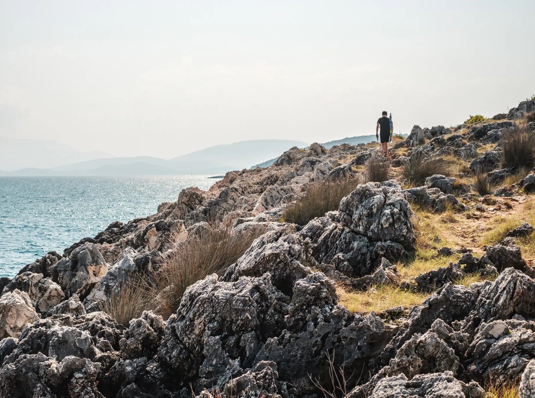
Great part of the hike, some areas are difficult to walk on but all manageable
0
0

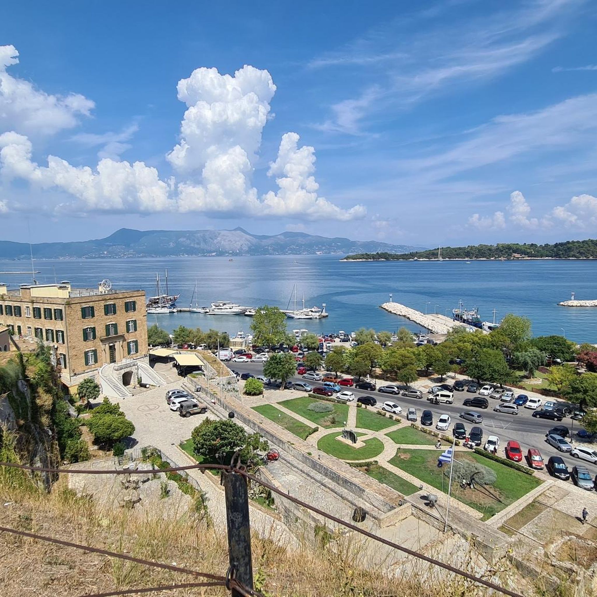
(2/2) Shortly after its construction, the fortress was reinforced with an angular fort called Scarpon. The New Fortress played an important role during the last Ottoman siege in 1716, during which military operations were concentrated on the western front of the city. Under British protection (1814–1864), several modifications were made to the fortress, as it was considered particularly important for the defense of the island. The most important was the construction of the imposing defensive barracks, which dominate the upper level of the fortress and were substantially redesigned at that time. A second barracks from the time of British protection (which now houses Corfu's naval base) has been preserved on the lower level of the fortress, along with gunpowder magazines, underground water tanks, and a network of tunnels for communication between the various parts.
0
0
(1/2) The New Fortress, an excellent example of a late Renaissance fortification, was built during Venetian rule (1576–1578) at the northwestern end of Corfu Town on the rocky hill of St. Mark's. It is part of the fortification complex, a project entrusted to the engineer Ferdinardo (Ferrante) Vitelli. The name "New" served to distinguish it from the existing fortification to the east of the town, which has since been called the "Old Fortress." The New Fortress, like the entire western front, adheres to the principles of the bastion system. It consists of two fortification levels. The low level is located to the northeast and protected the commercial port of Spilia. It has two monumental gates. The eastern gate is crowned with the winged Lion of St. Mark, the symbol of the Serenissima, the Republic of Venice. The high level, with the two bastions of the Seven Winds (Sette Venti), protected the town from the west, from the landward side.
0
0

Unbelievable how extensive the fortress is
0
0

You have to be careful here (steep edge)
1
0

komootモバイルアプリでインスピレーションを得よう


さらに探索
他の地域の最高のハイキングを見てみましょう。
