Παντοκράτωρ Βίγλα (Αγ. Ματθαίου)のおすすめウォーキング&ハイキングルート
4.4
(1931)
6,683
ハイカー
184
ハイキング
Παντοκράτωρ Βίγλα (Αγ. Ματθαίου)でおすすめのハイキングやウォーキングをお探しですか?Παντοκράτωρ Βίγλα (Αγ. Ματθαίου)が誇るこの美しい自然公園周辺のルートを集めたkomootコレクションを参考にしてください。 ここでは、Παντοκράτωρ Βίγλα (Αγ. Ματθαίου)の人気ハイキングコースを紹介しています。魅力的なルートが見つかったら、さっそく冒険に出かけましょう。
最終更新日: 10月 27, 2026
4.5
(155)
417
ハイカー
6.16km
02:06
320m
320m
中程度のハイキング. ある程度のフィットネスレベルが必要です。 歩きやすい道です。
4.7
(3)
32
ハイカー
4.62km
01:44
310m
310m
中程度のハイキング. ある程度のフィットネスレベルが必要です。 歩きやすい道です。

4.7
(3)
11
ハイカー
2.99km
00:59
140m
140m
初級者向けハイキング. 歩きやすい道です。
4.0
(1)
5
ハイカー
中程度のハイキング. ある程度のフィットネスレベルが必要です。 歩きやすい道です。
5.0
(1)
4
ハイカー
7.98km
03:01
540m
540m
中程度のハイキング. ある程度のフィットネスレベルが必要です。 歩きやすい道です。
さらに多くのルートや他のユーザーのおすすめ情報を確認できます。
すでにアカウントをお持ちですか?
おすすめのツアーは他のkomootユーザーが実際に経験した何千ものアクティビティに基づいています。
無料アカウントで今日から始めよう
次の冒険が待っています。
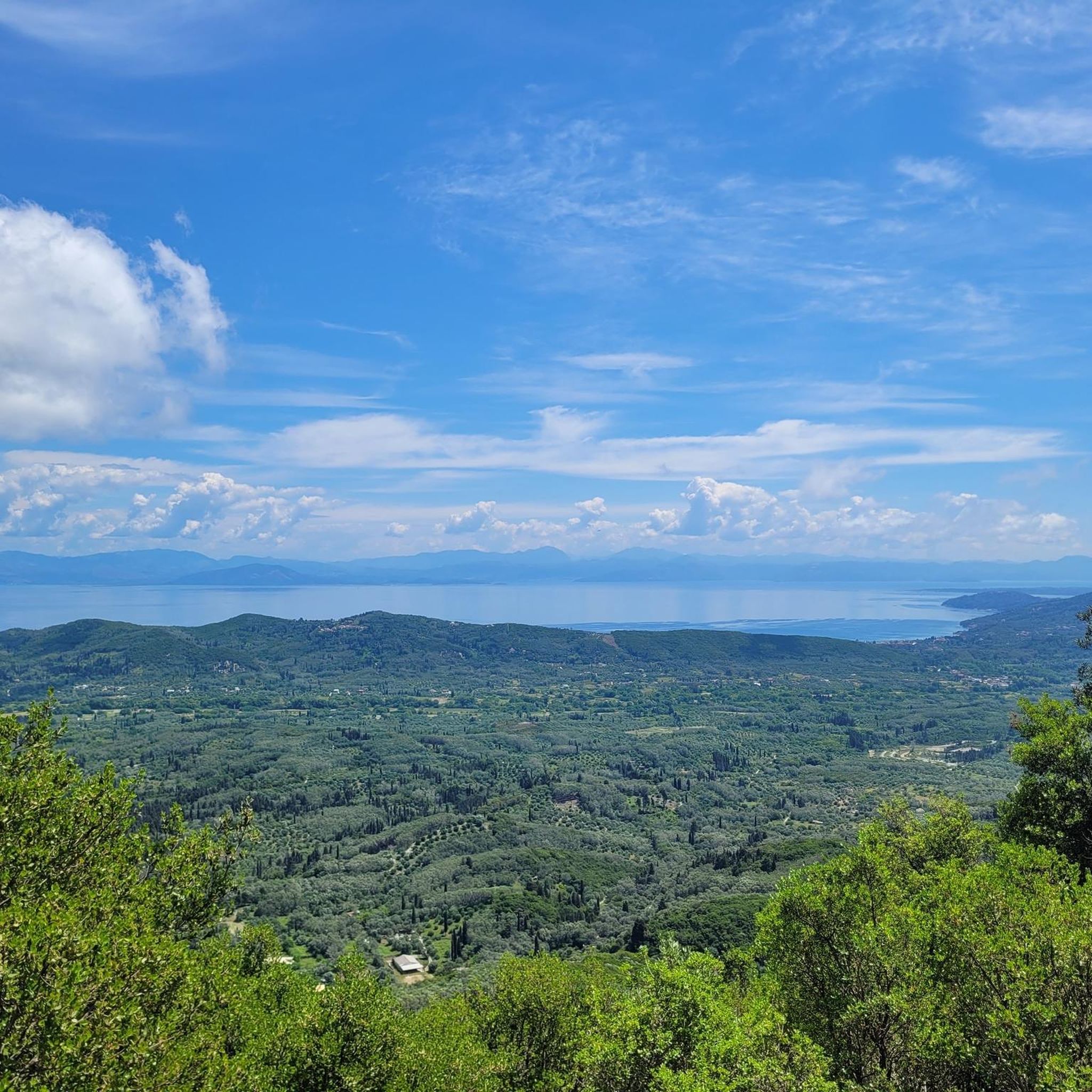
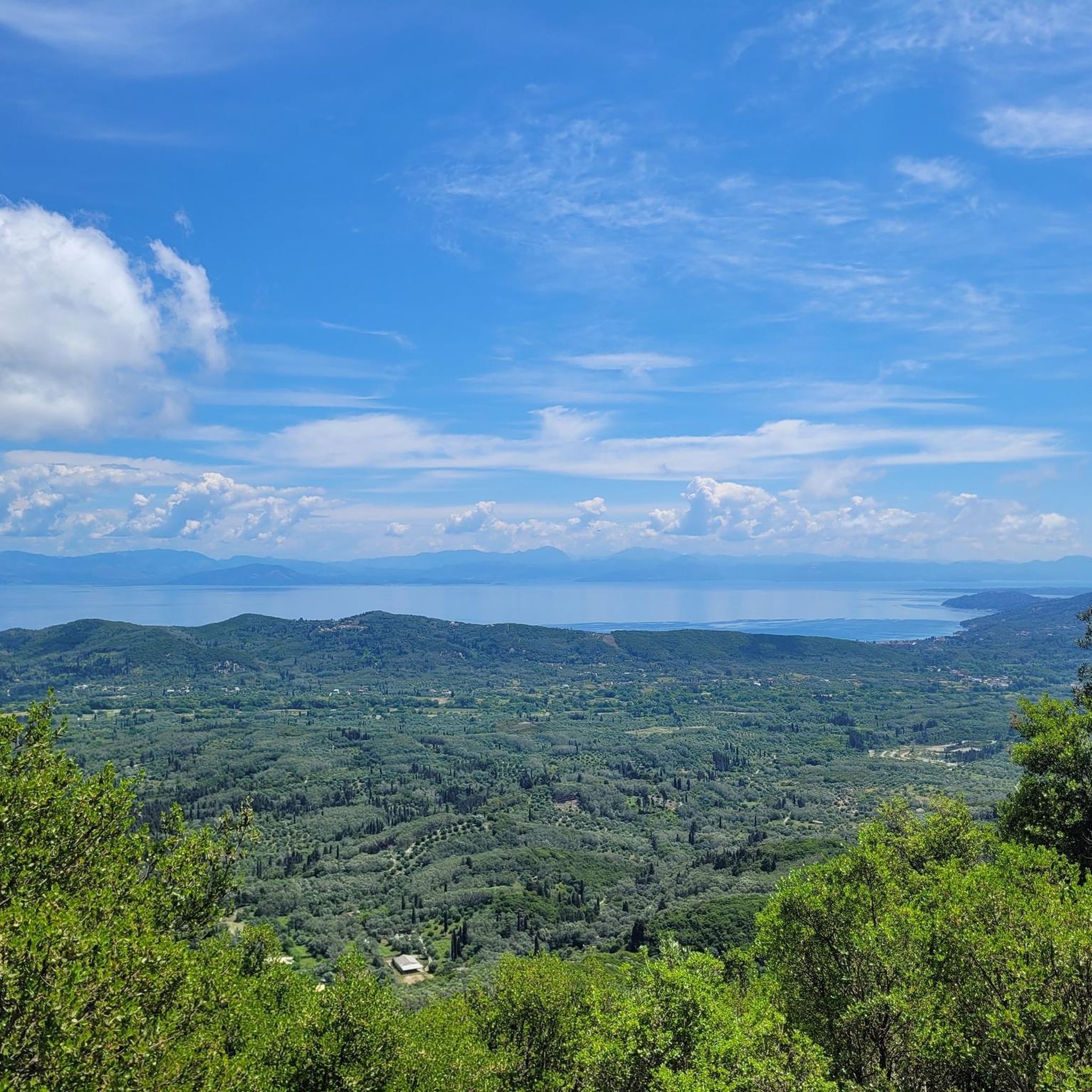
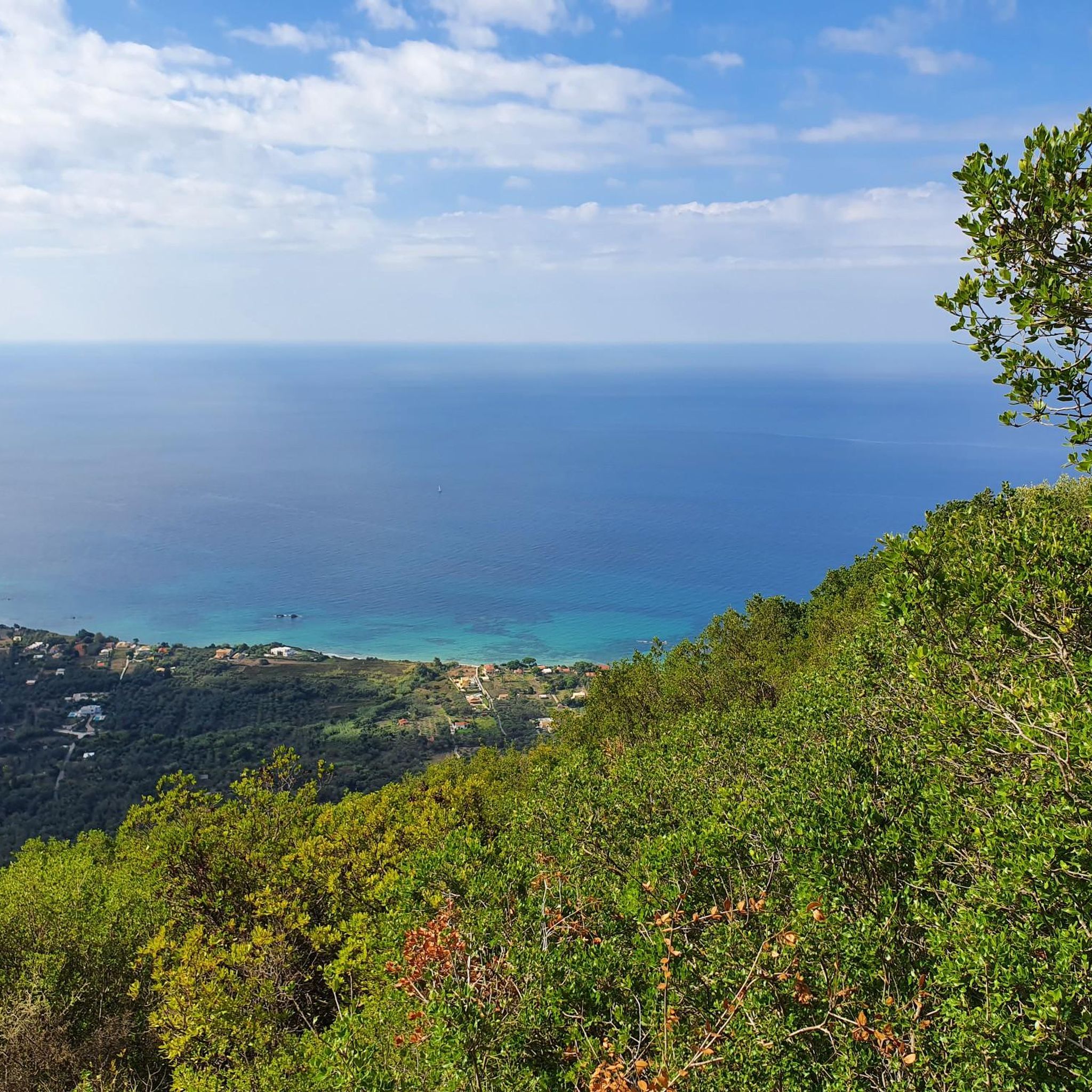
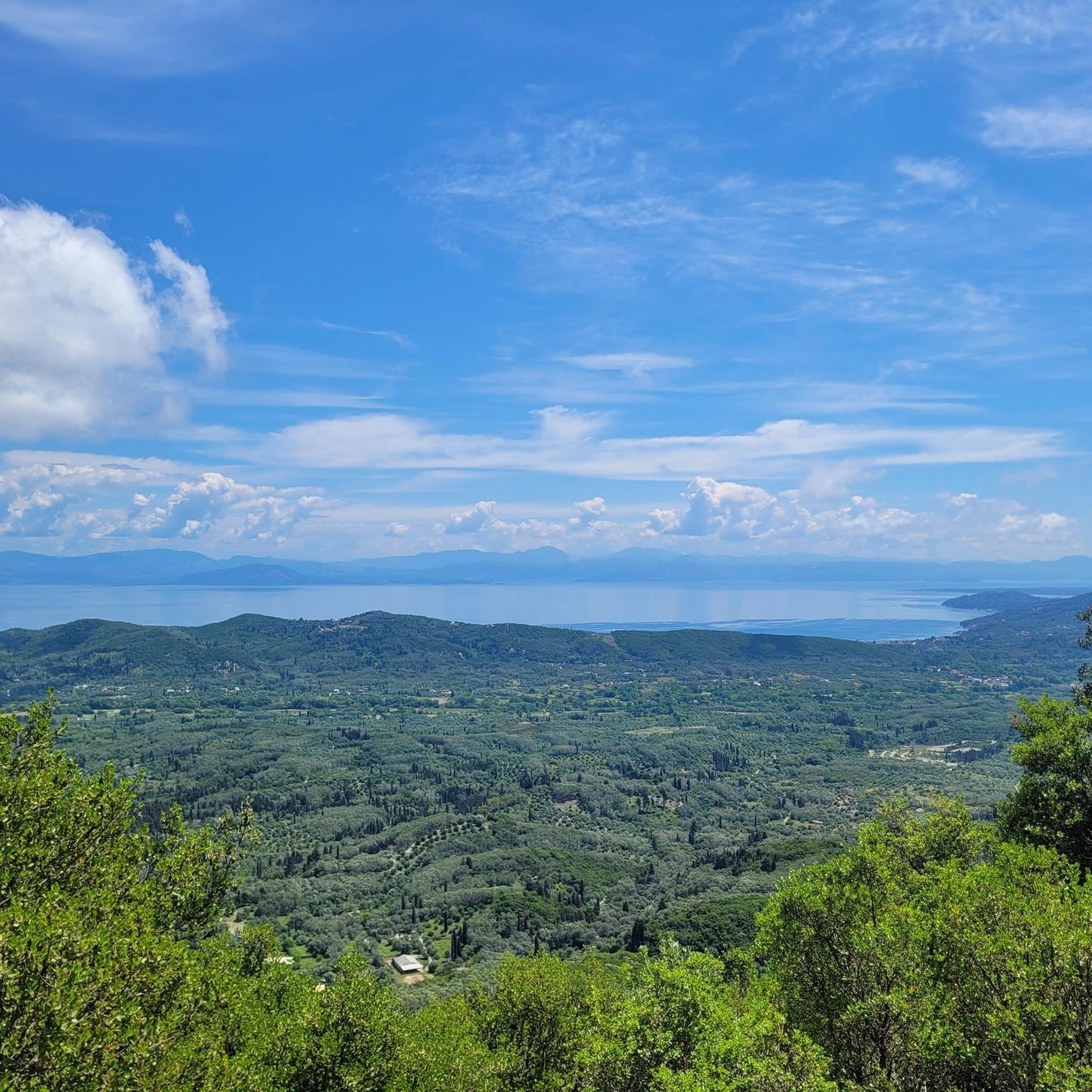
コミュニティからのヒント

A small path leads from the main way to this viewpoint. Just walk through the woods/bushes for about 30m.
0
0
Steep but manageable. Great 360 views. Halfway is a crossing where the other way leads to a cave.
1
0
No bench, pavillion basically destroyed. Still a nice view.
0
0
All benches are destroyed, but a great view.
0
0

Unfortunately, there's no longer a bench here, and the roof isn't really there anymore either. But the view is fantastic!
0
0

Highly recommended - with a steep climb, but a beautiful and rewarding view. P.S. Don't forget the mosquito spray. 😅
0
0

There are interesting and often untouched hiking trails
1
0

Red or red-blue branch with a steep additional 65 m ascent, a bit slippery in places, but markings are always clearly visible and good opportunities to hold on to branches, easily passable without undergrowth in 2023. In the middle there is a branch (blue) to a small cave. Magnificent summit panorama despite the relatively low overall height. The detour takes about 30 minutes additional there/back.
2
0
Παντοκράτωρ Βίγλα (Αγ. Ματθαίου)の人気ルート
Παντοκράτωρ Βίγλα (Αγ. Ματθαίου)の人気観光スポット

komootモバイルアプリでインスピレーションを得よう


さらに探索
他の地域の最高のハイキングを見てみましょう。
