キティタス郡のおすすめウォーキング&ハイキングルート
4.7
(209)
5,217
ハイカー
147
ハイキング
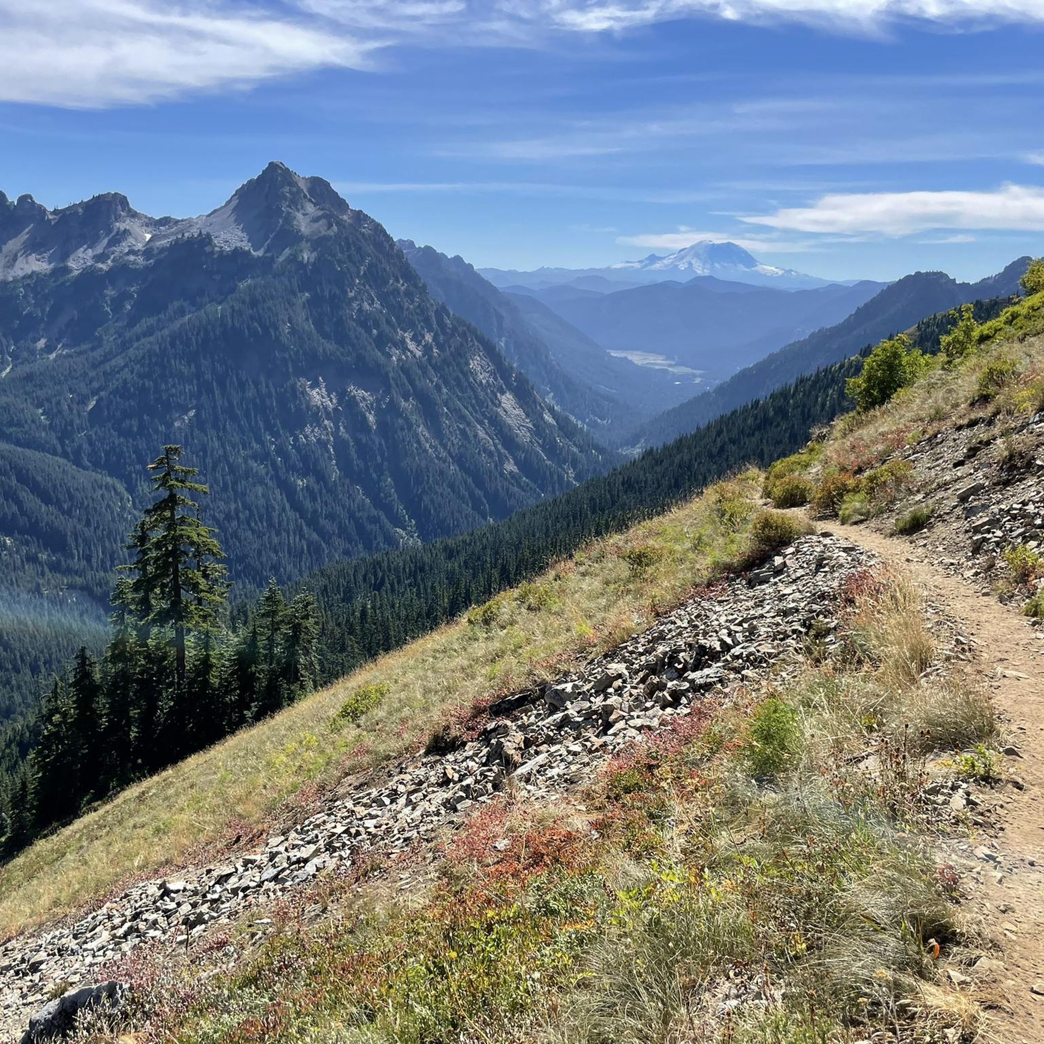
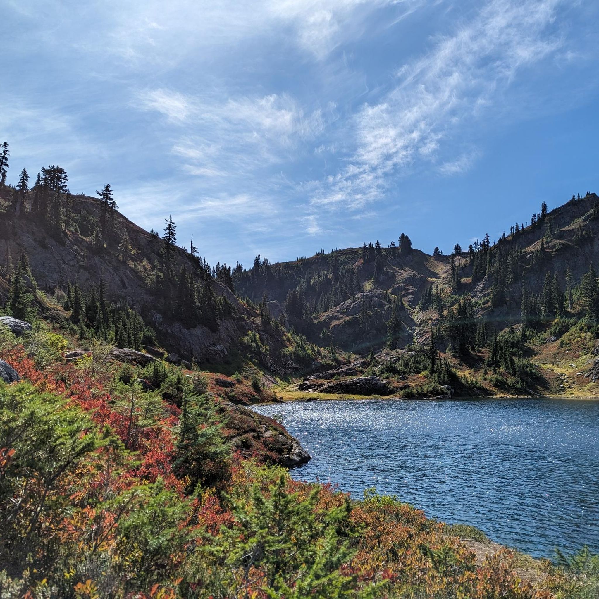
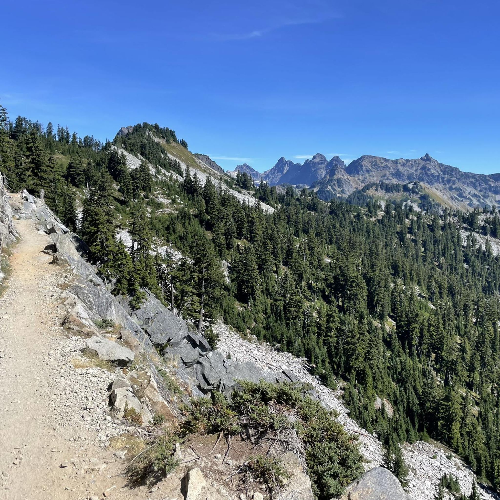
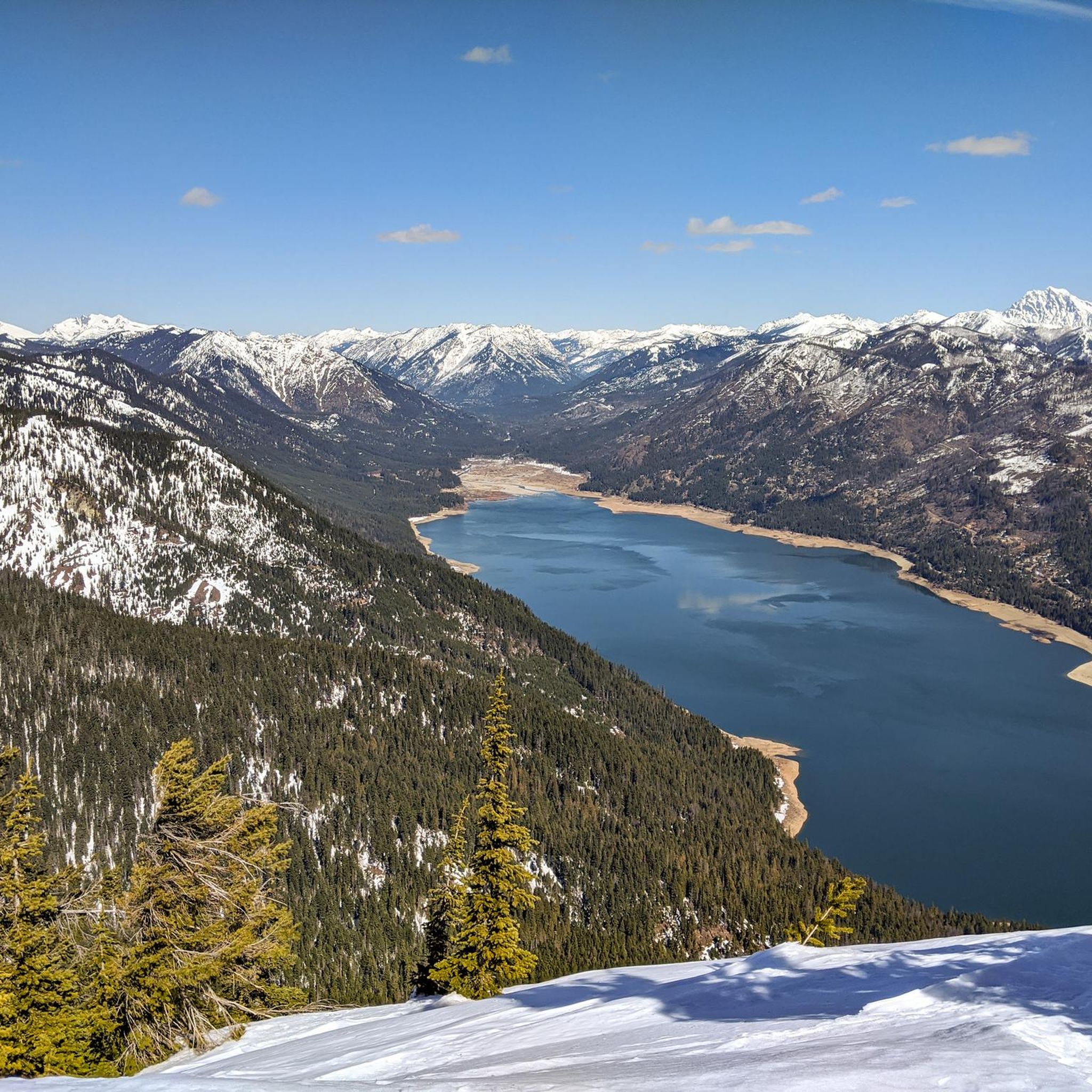
Kittitas County, Washingtonでのハイキングは、西部の雪を頂いたカスケード山脈から東部のコロンビア台地の半乾燥した低木地帯へと移行する、多様な景観が特徴です。この地域は、そびえ立つ峰々、氷河に削られた谷、国立森林や原生地域を抜ける広大なトレイルネットワークに特徴づけられています。数多くの手つかずの高山湖とヤキマ川がこの地域の自然景観に貢献しており、高山の環境から緑豊かな森林まで、変化に富んだ地形を提供しています。この地理的な多様性は、さまざまな標高で幅広いハイキング体験を可能にしています。
Kittitas Countyの最高のハイキングトレイル
- 最も人気のあるハイキングルートは、エスメラルダ・トレイルヘッドからのレイク・インガルズ・ループ — オカノガン・ウェナチー国立森林で、所要時間5時間58分、距離8.6マイル(13.8 km)の難易度の高いトレイルです。このルートは、高山の湖と山の景色を眺めることができます。
- 地元のハイカーに人気のもう一つのトレイルは、レイチェル・アンド・ランパート・レイクス・トレイルで、距離4.8マイル(7.8 km)の中程度のトレイルです。このトレイルは、森林地帯を抜けて一連の高山湖へと続いています。
- 地元のハイカーはまた、ゴールドクリーク・ポンド・トレイル・ループ — マウント・ベイカー・スノコルミー国立森林も気に入っています。これは距離1.4マイル(2.3 km)のトレイルで、静かな池のエリアを通り抜け、通常約36分で完了します。
- Kittitas Countyでのハイキングは、カスケード山脈の峰々、手つかずの高山湖、そして川の谷によって特徴づけられます。トレイルネットワークは、穏やかな散歩から挑戦的な登りまで、さまざまなレベルの能力に対応するオプションを提供しています。
- Kittitas Countyのルートは、komootコミュニティによって高く評価されており、90件以上のレビューから平均4.6つ星のスコアを獲得しています。2,700人以上のハイカーがkomootを使用して、Kittitas Countyの多様な地形を探検しました。
最終更新日: 8月 31, 2026
46
ハイカー
16.5km
05:24
950m
280m
Prepare for a challenging hike to two stunning alpine lakes on the Marmot Lake and Jade Lake via Deception Pass Trail. This difficult route covers 10.3 miles (16.5 km) with…
33
ハイカー
15.5km
04:17
120m
550m
Embark on the Spectacle Lake Trail, a moderate hike spanning 9.6 miles (15.5 km) with an elevation gain of 393 feet (120 metres). This route takes you through varied landscapes,…

無料新規登録
27
ハイカー
6.67km
01:46
50m
100m
Embark on an easy hike along the Pete Lake Trail, a 4.1 miles (6.7 km) route that winds through an ancient forest of towering western white pine, Douglas fir, and…
5.0
(2)
18
ハイカー
7.80km
02:52
730m
0m
Embark on the Rachel and Rampart Lakes Trail, a moderate hike spanning 4.8 miles (7.8 km) with a significant elevation gain of 2383 feet (726 metres). This route typically takes…
19
ハイカー
7.60km
02:07
20m
340m
Hiking the Deception Pass Trail takes you on a moderate journey through the scenic Alpine Lakes Wilderness. You will experience diverse terrain, from rugged mountain views to peaceful forest sections,…
16
ハイカー
17.0km
05:01
420m
220m
Embark on the Waptus River Trail, a difficult 10.6-mile (17.0 km) hiking adventure that takes approximately 5 hours and 1 minute to complete. You will gain 1367 feet (417 metres)…
5.0
(1)
12
ハイカー
9.05km
03:13
890m
0m
Embark on the moderate Navaho Peak via Stafford Creek Trail, a 5.6-mile (9.0 km) hike that gains 2923 feet (891 metres) over an estimated 3 hours and 12 minutes. You…
10
ハイカー
16.0km
07:23
1,430m
1,000m
Embark on a challenging hike along the Rampart Lakes and Alta Mountain Trail, a difficult route spanning 9.9 miles (16.0 km). You will ascend a significant 4703 feet (1433 metres)…
5
ハイカー
12.2km
05:17
1,440m
90m
Embark on a challenging hike along the Mount Daniel and Peggy's Pond via Cathedral Pass Trail, a difficult route that spans 7.6 miles (12.2 km). You will ascend a significant…
6
ハイカー
6.88km
02:29
650m
80m
Embark on the Lake Ann via Esmeralda Basin Trail, a moderate hike covering 4.3 miles (6.9 km) with an elevation gain of 2148 feet (655 metres). You can expect to…
さらに多くのルートや他のユーザーのおすすめ情報を確認できます。
無料新規登録
すでにアカウントをお持ちですか?
おすすめのツアーは他のkomootユーザーが実際に経験した何千ものアクティビティに基づいています。





コミュニティからのヒント


The Deception Pass Trail passes along the eastern shores of Hyas Lake and offers pretty continuous views of the shallow reservoir. There are some popular camping areas near the clear lake that also make for great stopping points if you are just looking for somewhere to take a break during your hike.
0
0
Nosh Nosh Wahtum is a small reservoir within the Alpine Lakes Wilderness. It's just off the side of the Cathedral Pass Trail and is a popular lake since it's such a short trip from the trailhead to get here.
0
0

Spectacle is a beautiful high lake nestled in the Alpine Lakes Wilderness. The 80 acre lake sits at an elevation of 4,239 feet. There is a population of naturally reproducing Eastern Brook Trout, but they may be difficult to catch. Various fly patterns or small spinners/spoons can be effective.
0
0
Alta Peak is a classic summit that is located in the Alpine Lakes Region. Home to stellar views, Alta Peak is a popular destination for those want to bag a beautiful peak along with checking out the amazing Rachel Lake. One of the major advantages of this mountain is that it is only 12 miles roundtrip and the technical difficulty of this peak during summer is barely Class 2, with only one small section of exposure on a narrow ridge near the top. In summer this narrow ridge will only require one to use a little caution on their way to the summit. However with a coating of snow this mountain can get very sketchy very quick. It is an ideal late summer-early fall summit to go for because the trail up is then snow-free and the berries are out towards the high country. As you pass Lake Lillian, there is a short steep pitch that travels along the lakes edge and requires more sure-footedness.
0
0
Once you get to Marmot there are a bunch of great campsites along the eastern shore, some right on the water and some a bit above. From here you can either spend the night and enjoy the sunset at Marmot or continue up to Jade Lake, taking another 1.5 hours or so. Marmot lake is great for swimming, with an actual beachfront and lots of shallow water for wading and bathing, and although the mosquitoes are pretty bad, there are some beautiful views around the lake and it's a great place to view mountain goats.
0
0
Jade Lake, named after its color, is attributed to the fine, almost talcum-powder-fine crushed rock worn down by the scouring of the glaciers and carried into the lake by the meltwater.
0
0
Peggy's Pond, located beneath Cathedral Rock, is a trout filled pond with magnificent views. Mountaineers can enjoy the loose and steep trails just beyond the pond. Be mindful to not build rock stacks or fire rings in the area as the meandering water is already having a difficult time draining to the lakes below.
0
0

komootモバイルアプリでインスピレーションを得よう


探していたものは見つかりませんでしたか?
キティタス郡の下にある他のハイキングをチェックして、目的地で完璧なルートを見つけましょう。
さらに探索
他の地域の最高のハイキングを見てみましょう。
