ヤキマ郡のおすすめウォーキング&ハイキングルート
4.6
(50)
1,341
ハイカー
47
ハイキング
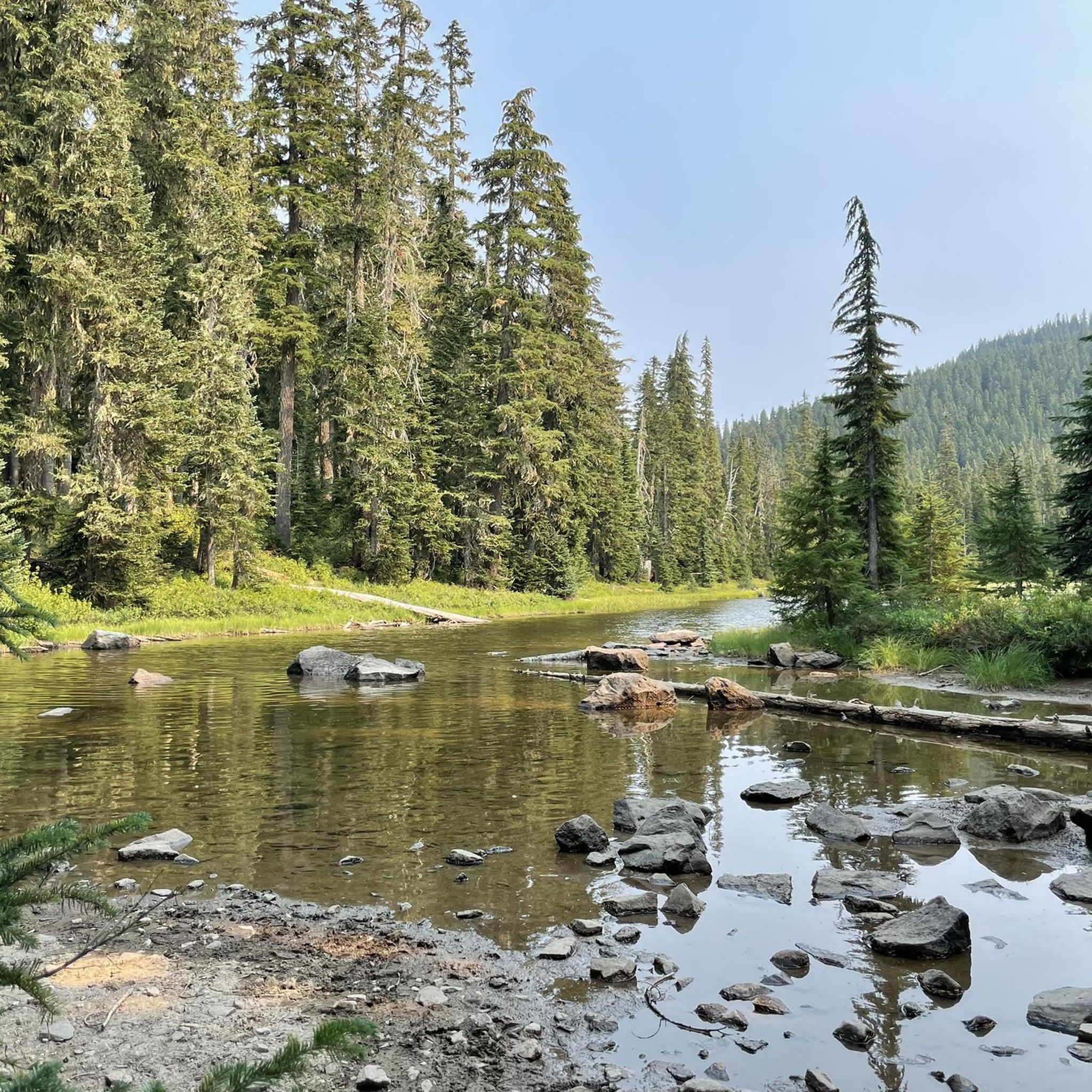
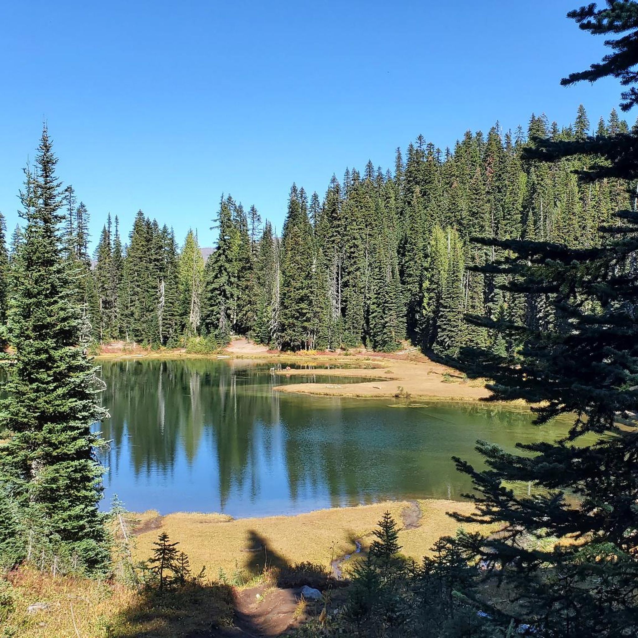
ヤキマ郡でのハイキングは、カスケード山脈の雨陰に位置し、川の渓谷から高い山の尾根まで、多様な景観を提供します。この地域は乾燥した気候が特徴で、太陽が降り注ぐ渓谷、広大な低木地帯の草原、そして森林に覆われた山々があります。この変化に富んだ地理は、さまざまな地形での一年中のハイキングの機会を提供します。郡の西部には雄大な山々があり、中央部と南部には川の谷があります。
ヤキマ郡の最高のハイキングトレイル
- 最も人気のあるハイキングルートは、Crystal Lake via Sourdough Gap and Sheep Lakeで、6.3マイル(10.1 km)のトレイルで、完了までに約3時間12分かかります。この適度なハイキングは、1,400フィート(430 m)以上の標高上昇があります。
- 地元のハイカーに人気のもう一つのトレイルは、Cowiche Mountain Loop Trailで、適度な6.4マイル(10.2 km)のパスです。このルートはカウイチ山を登り、周囲の景色を眺めることができます。
- 地元のハイカーに愛されているのは、Dewey Lake Trailで、オカナガン・ウェナチー国立森林を抜ける5.7マイル(9.2 km)のトレイルで、通常約2時間53分で完了します。
- ヤキマ郡でのハイキングは、ドラマチックな川の渓谷、高い山の尾根、そして広大な亜高山帯の草原によって特徴づけられます。ヤキマ郡のハイキングトレイルネットワークは、簡単な湖畔の散策から困難な山の登頂まで、さまざまなレベルの能力に対応するオプションを提供します。
- ヤキマ郡のルートは、komootコミュニティから高く評価されており、35件以上のレビューで平均4.6つ星を獲得しています。800人以上のハイカーがkomootを使用して、ヤキマ郡の多様な地形を探索しています。
最終更新日: 8月 18, 2026
28
ハイカー
45.8km
13:25
1,370m
1,090m
難しいハイキング. 標準以上のフィットネスレベルが必要です。 進みやすいルートです。あらゆるスキルレベルに適しています。
17
ハイカー
10.5km
09:29
2,070m
50m
難しいハイキング. 標準以上のフィットネスレベルが必要です。 安定して歩行できる技術、丈夫な靴、高標高地での登山経験が必要です。

無料新規登録
16
ハイカー
10.2km
02:43
120m
100m
中程度のハイキング. ある程度のフィットネスレベルが必要です。 進みやすいルートです。あらゆるスキルレベルに適しています。
11
ハイカー
3.84km
01:09
160m
50m
初級者向けハイキング. あらゆるフィットネスレベルに適しています。 進みやすいルートです。あらゆるスキルレベルに適しています。
4.0
(1)
5
ハイカー
9.87km
03:02
360m
370m
中程度のハイキング. ある程度のフィットネスレベルが必要です。 進みやすいルートです。あらゆるスキルレベルに適しています。
7
ハイカー
18.1km
06:55
1,310m
1,200m
難しいハイキング. 標準以上のフィットネスレベルが必要です。 全般的に進みやすいルートです。安定して歩行できる技術が必要です。
5
ハイカー
6.62km
02:07
330m
210m
中程度のハイキング. ある程度のフィットネスレベルが必要です。 進みやすいルートです。あらゆるスキルレベルに適しています。
6
ハイカー
6.90km
02:10
0m
790m
中程度のハイキング. ある程度のフィットネスレベルが必要です。 進みやすいルートです。あらゆるスキルレベルに適しています。
4
ハイカー
5.25km
01:39
310m
30m
中程度のハイキング. ある程度のフィットネスレベルが必要です。 進みやすいルートです。あらゆるスキルレベルに適しています。
4
ハイカー
5.32km
01:36
150m
230m
初級者向けハイキング. あらゆるフィットネスレベルに適しています。 進みやすいルートです。あらゆるスキルレベルに適しています。
さらに多くのルートや他のユーザーのおすすめ情報を確認できます。
無料新規登録
すでにアカウントをお持ちですか?
おすすめのツアーは他のkomootユーザーが実際に経験した何千ものアクティビティに基づいています。









コミュニティからのヒント


At 5,430 ft, Chinook Pass offers stunning mountain along Mather Memorial Parkway. The pass is open mid-May to November—check for seasonal closures before you go.
0
0

The summit of this pass is marked by a rustic stone-and-wood archway that happens to be part of the legendary Pacific Crest Trail. If you want to hop off your bike for a minute, there's a pretty, short nature trail here with great views of Mt. Rainier, the Cascade Mountains, and Tipsoo Lake.
0
0

Nestled within the Cowiche Canyon Conservancy, Snow Mountain Ranch spans 2,000 acres, rising over 1,000 feet from the South Fork of Cowiche Creek to Cowiche Mountain's summit at 2,970 feet. Its intricate network of approximately 14 miles of trails meanders through diverse shrub-steppe habitats, home to 200 plant species, 125 bird species, and 64 butterfly species—exceeding the biodiversity of the entire British Isles. Spring and summer invite avid birdwatchers and unveil a breathtaking wildflower spectacle. As autumn arrives, the riparian zone bursts into a kaleidoscope of colors, as oaks, aspens, cottonwoods, wild rose, and willows paint the landscape with vibrant hues of yellow, red, and orange.
0
0
Ascend to the summit of Cowiche Mountain and relish in panoramic vistas. Once an expansive cattle ranch, this area is now a thriving nature preserve teeming with wildlife and vibrant wildflowers. In spring, golden hues and purples blanket the shrub-steppe, while sweeping views stretch from the Yakima River Canyon to the majestic snowy peaks of Rainier and Adams.
0
0

From the top of Sourdough Gap, you can catch sight of Mount Adams, Mount St. Helens, and other peaks. Don't forget to look down and appreciate the scenic view of Sheep Lake. The Sourdough Gap is part of the Pacific Crest Trail.
1
1
A short hike leads you to the expansive Upper Crystal Lake. This larger lake offers a captivating view, with rugged mountains enclosing the basin. Take a moment to appreciate the prominent Three Way Peak to the northeast, adding to the scenic beauty of the area.
0
0

This is the most popular trailhead for the South Spur Route. To get here from the south, take WA SR-14 or I-84 in the Columbia River Gorge. Cold Springs Campground is a primitive campground, but there are vault toilets. For hiking below 7000 feet or during the climbing off-season, Wilderness Permits are required. Wilderness permits are free and self-issued at the trailhead. Travel above 7000 feet elevation between May 1 and September 30 requires a Mount Adams Climbing Permit which can be obtained here: https://www.recreation.gov/activitypass/4280e9ae-d010-11ea-8e82-82c0c22bed90
1
0
ヤキマ郡の人気観光スポット

komootモバイルアプリでインスピレーションを得よう


探していたものは見つかりませんでしたか?
ヤキマ郡の下にある他のハイキングをチェックして、目的地で完璧なルートを見つけましょう。
さらに探索
他の地域の最高のハイキングを見てみましょう。
