カランアのおすすめツーリングルート
4.5
(152)
2,392
ライダー
50
ライド
カランア周辺でのおすすめのサイクリングルートを参考にして、このエリアを最大限に楽しみましょう。ここでご紹介するのは、カランア周辺の人気バイクライドです。ぜひ、自分に合ったルートを見つけてください。
最終更新日: 9月 12, 2026
6
ライダー
22.2km
01:36
410m
410m
Cycle the moderate Graubünden Route, a 13.8-mile (22.2 km) touring cycling trail in Parco Val Calanca with Alpine views and waterfalls.
4.8
(8)
99
ライダー
101km
07:37
2,480m
2,480m
難しい自転車ライド. 標準以上のフィットネスレベルが必要です。 全般的に舗装された状態です。あらゆるスキルレベルに適しています。

19
ライダー
27.0km
01:45
320m
320m
中程度の自転車ライド. ある程度のフィットネスレベルが必要です。 全般的に舗装された状態です。あらゆるスキルレベルに適しています。
5.0
(1)
14
ライダー
36.0km
02:51
880m
880m
難しい自転車ライド. 標準以上のフィットネスレベルが必要です。 全般的に舗装された状態です。あらゆるスキルレベルに適しています。
5.0
(2)
19
ライダー
28.6km
02:24
770m
770m
難しい自転車ライド. 標準以上のフィットネスレベルが必要です。 全般的に舗装された状態です。あらゆるスキルレベルに適しています。
さらに多くのルートや他のユーザーのおすすめ情報を確認できます。
すでにアカウントをお持ちですか?
おすすめのツアーは他のkomootユーザーが実際に経験した何千ものアクティビティに基づいています。
無料アカウントで今日から始めよう
次の冒険が待っています。
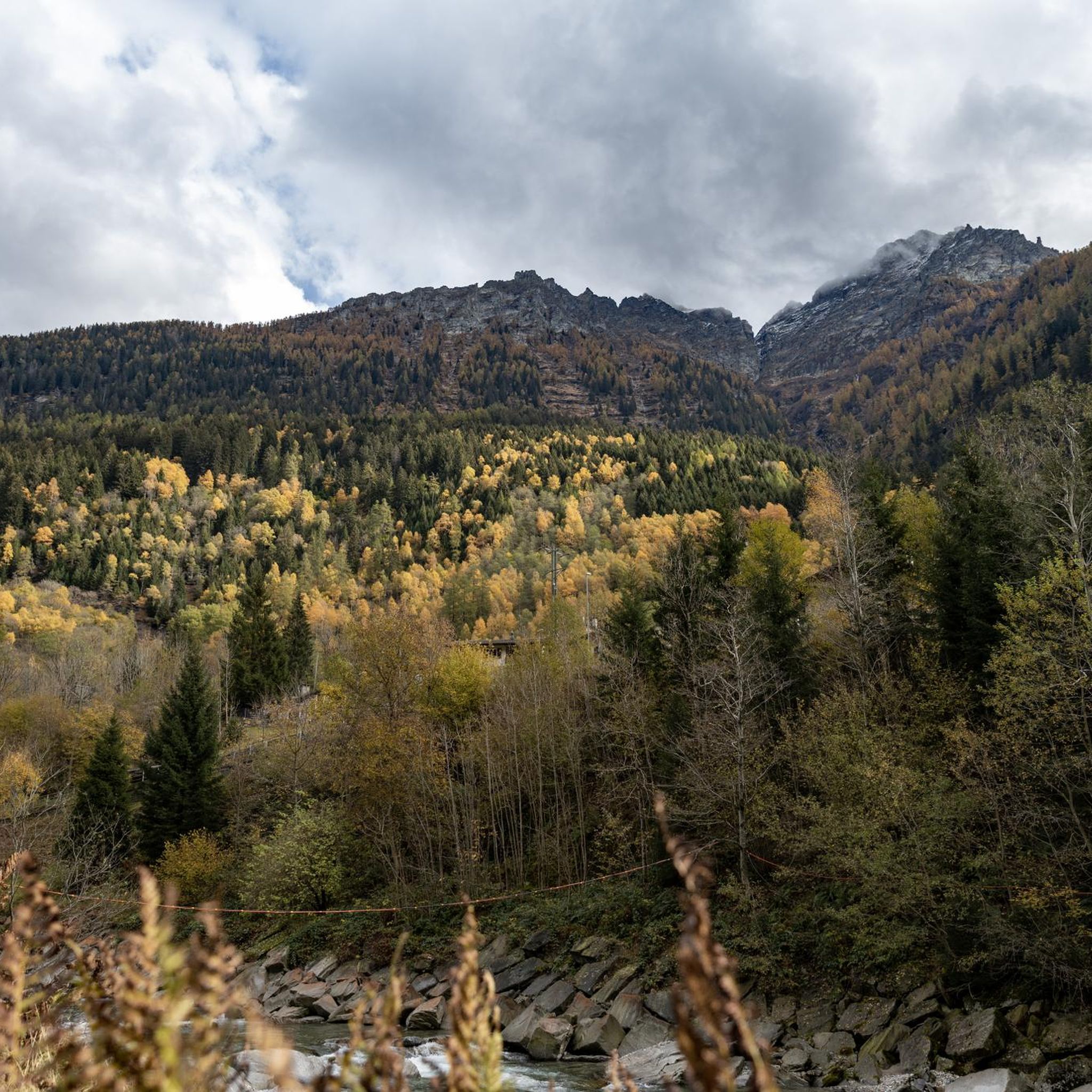
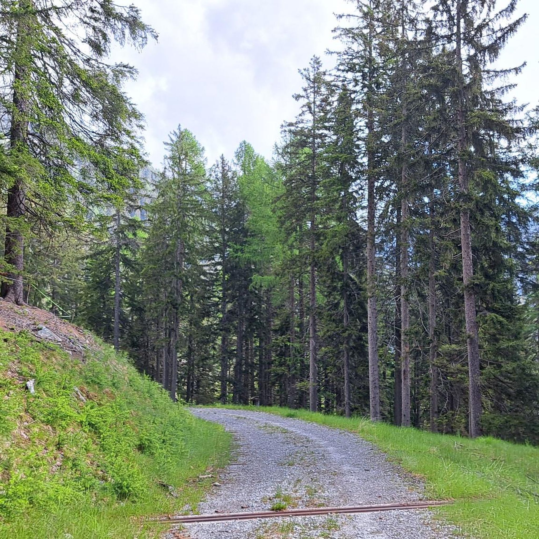
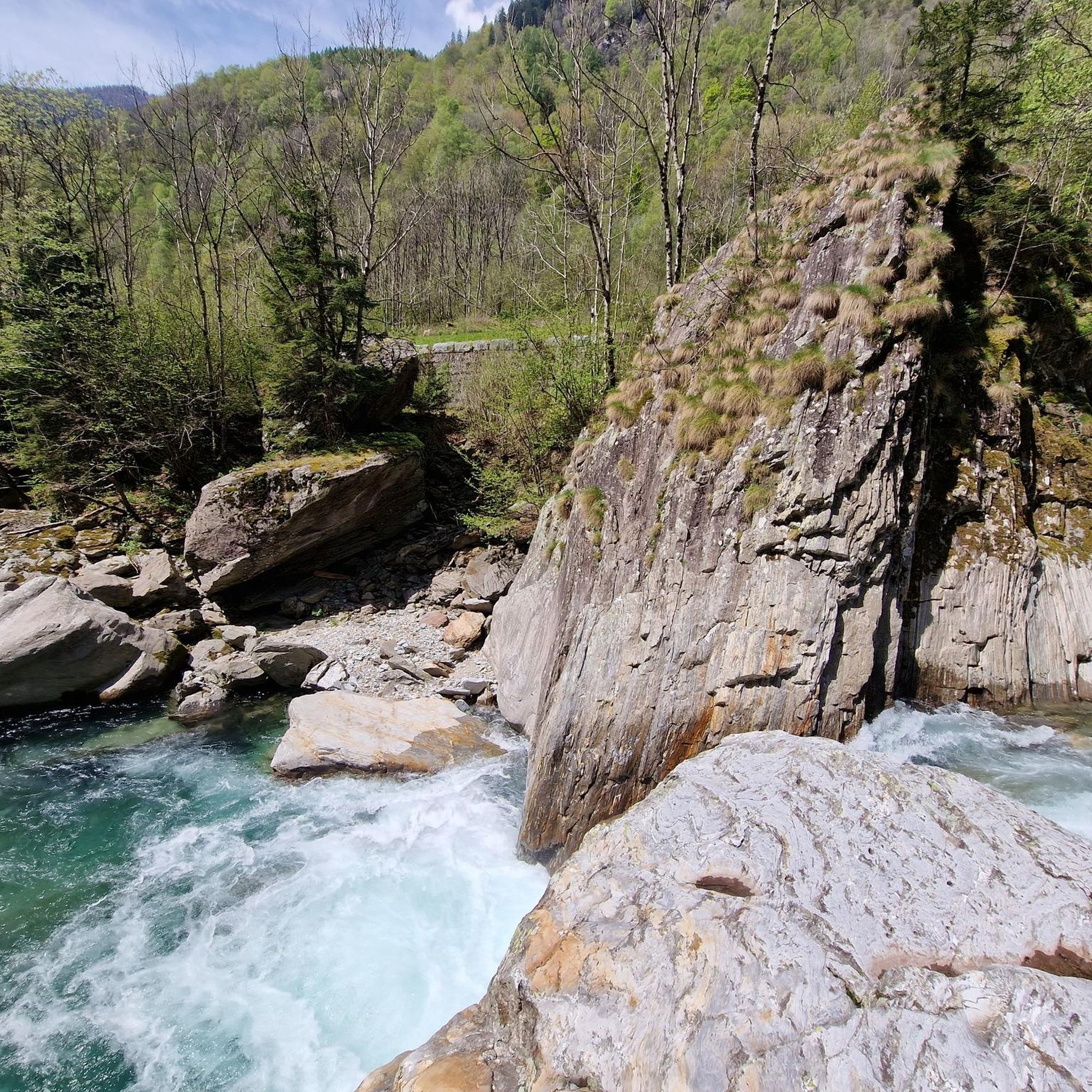
コミュニティからのヒント


鉄道跡は現在、大部分がサイクリングロードになっています
0
0

Great atmosphere and beautiful view
0
0

Mesocco Castle San Bernardino Castle Mesolcina Calanca The ruins of Mesocco Castle stand on top of an imposing rocky hill that rises steeply from the valley floor. This imposing fortress stands in the center of the valley, forcing the Moesa River into a wide bend in a narrow, impassable gorge, leaving only a narrow passage to the west. Mesocco Castle is protected on three sides by steep cliffs. Only to the northeast, on the upstream side of the valley, does the slope slope more gently. Climbing up the old access road to the castle from the north side, you first reach the Church of St. Maria del Castello and are already on the castle grounds, which were once surrounded by a defensive wall. The impressive ruins consist mainly of the remains of defensive works built in the last decades of the 15th century, i.e., during the final phase of the castle's life. Among them are numerous ruins from earlier eras, so that the castle's current appearance reveals its eventful history, which has its roots in the early Middle Ages. Graubünden Ferien, Alexanderstrasse 24, 7001 Chur https://www.graubuenden.ch/de/ausflugsziele/castello-di-mesocco
14
0
Moësa (River) Moesa to Mesocco The Moësa rises at an altitude of approximately 2,245 meters above sea level on the Alpe Moesola above the San Bernardino Pass in the canton of Graubünden. After its source, it flows down to the top of the pass and feeds the first lake on its journey – the Laghetto Moesola – near the hospice. Leaving the lake at its southern end, it loses some elevation and then, at approximately 1,860 meters, joins the Riale Mucia stream from the right. A little later, the Moesa River also reaches the first village, San Bernardino (1,640 meters). It flows right through the center of the Graubünden village, merging with both the Ri de Fontanalba and Ri de Confin. While still in the village, it then flows into the Lago d'Isola reservoir. After the dam, the Moesa descends steeply, flowing through a gorge into the hamlet of Spina. It also shoots over the beautiful Moesa Waterfall and is joined by the Ri del Bech, Riale di Arbeola, and Riale de Spina streams. The Moesa now has a short distance to go to the village of Pian San Giacomo (1200 m), where it joins the Ri de Seda. After another steep drop and several tributaries (such as the Ri de Brion, Ri de Gratela, and Ri de Anzon), the river then reaches Mesocco (approx. 770 m). Text / Source: schweizerfluss.ch https://schweizerfluss.ch/moesa/
14
0

When cycling up route 6, the A13 eventually becomes the intermediate goal as one cycles up and up and comes closer in elevation to the highway.
0
0

After a short climb you reach the entrance
1
0

In Soazza, the railway line runs through a tunnel beneath the church. Wide tires are advantageous for bicycles. Nevertheless, it is a beautiful route.
1
0

komootモバイルアプリでインスピレーションを得よう


さらに探索
他の地域の最高のサイクリングルートを見てみましょう。
