モラルデカラトラバのおすすめウォーキング&ハイキングルート
4.4
(18)
81
ハイカー
35
ハイキング
モラルデカラトラバ周辺でのハイキングは、景色を満喫するのに最適な手段のひとつですが、適切なハイキングルートを見つけることは簡単ではありません。 モラルデカラトラバ周辺の人気ハイキング&ウォーキングコースを参考にすれば、行きたいルートをすぐに見つけられます。
最終更新日: 10月 24, 2026
1
ハイカー
16.9km
04:41
300m
300m
中程度のハイキング. ある程度のフィットネスレベルが必要です。 歩きやすい道です。
4.0
(2)
2
ハイカー
16.3km
04:11
70m
70m
中程度のハイキング. ある程度のフィットネスレベルが必要です。 歩きやすい道です。

13.1km
03:39
240m
240m
中程度のハイキング. ある程度のフィットネスレベルが必要です。 歩きやすい道です。
30.2km
08:00
290m
290m
難しいハイキング. 標準以上のフィットネスレベルが必要です。 歩きやすい道です。
5.0
(2)
2
ハイカー
5.51km
01:40
140m
140m
中程度のハイキング. ほとんどが歩ける道です。足元への注意が必要です。
さらに多くのルートや他のユーザーのおすすめ情報を確認できます。
すでにアカウントをお持ちですか?
おすすめのツアーは他のkomootユーザーが実際に経験した何千ものアクティビティに基づいています。
無料アカウントで今日から始めよう
次の冒険が待っています。
コミュニティからのヒント

A 3-kilometer stretch that leads from Bolaños de Calatrava to the Virgin of the Mountains, a good road.
1
0

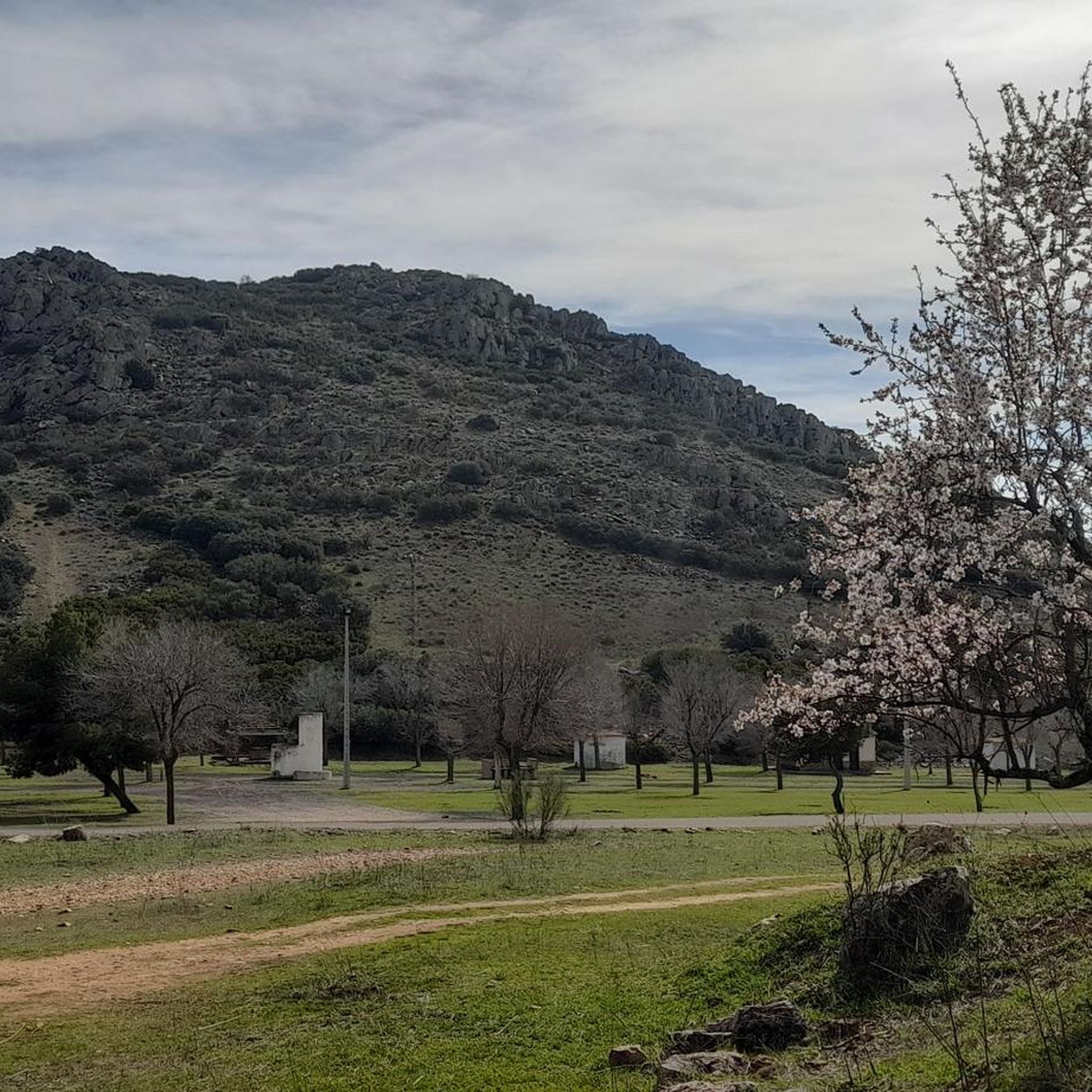
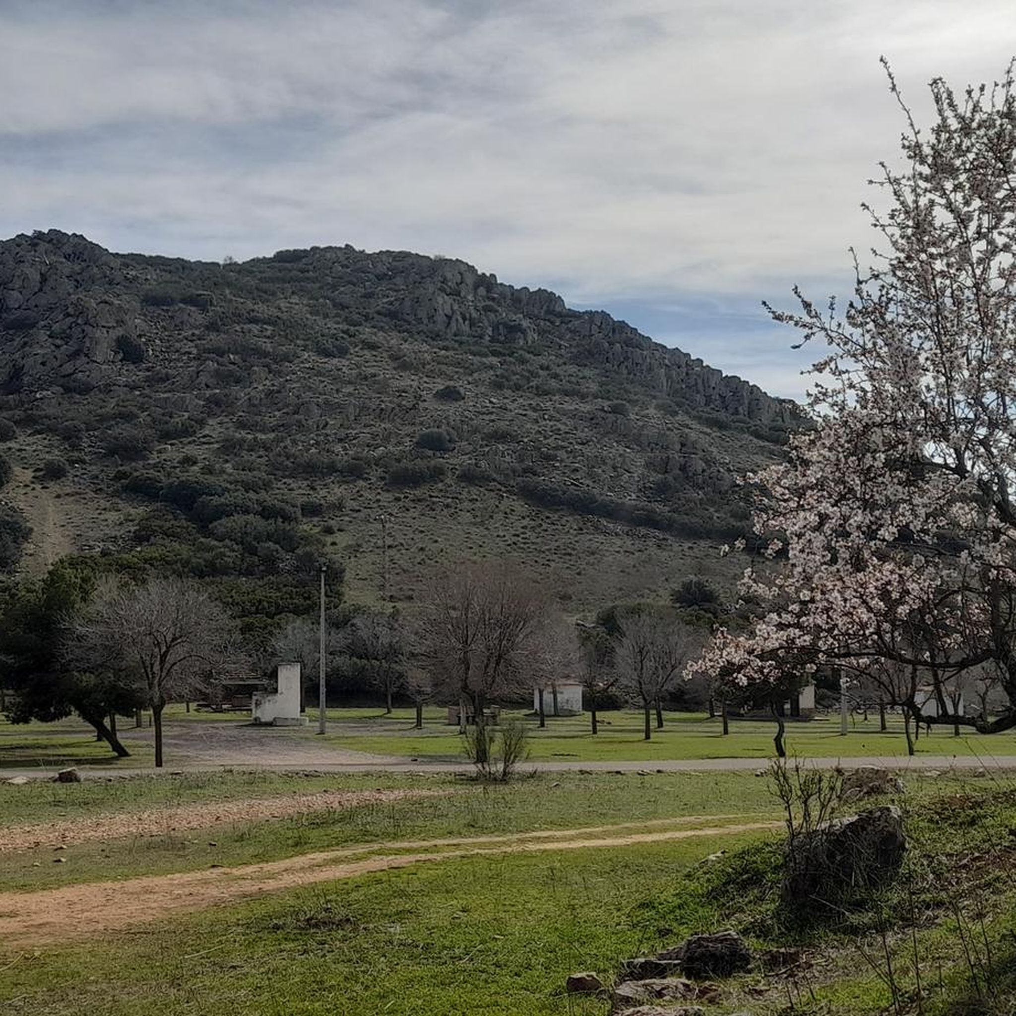
The Sierra del Moral is a small mountain system that is located to the north of the city of Moral de Calatrava and at its top there are a set of windmills from where you can see the views of the town.
1
0
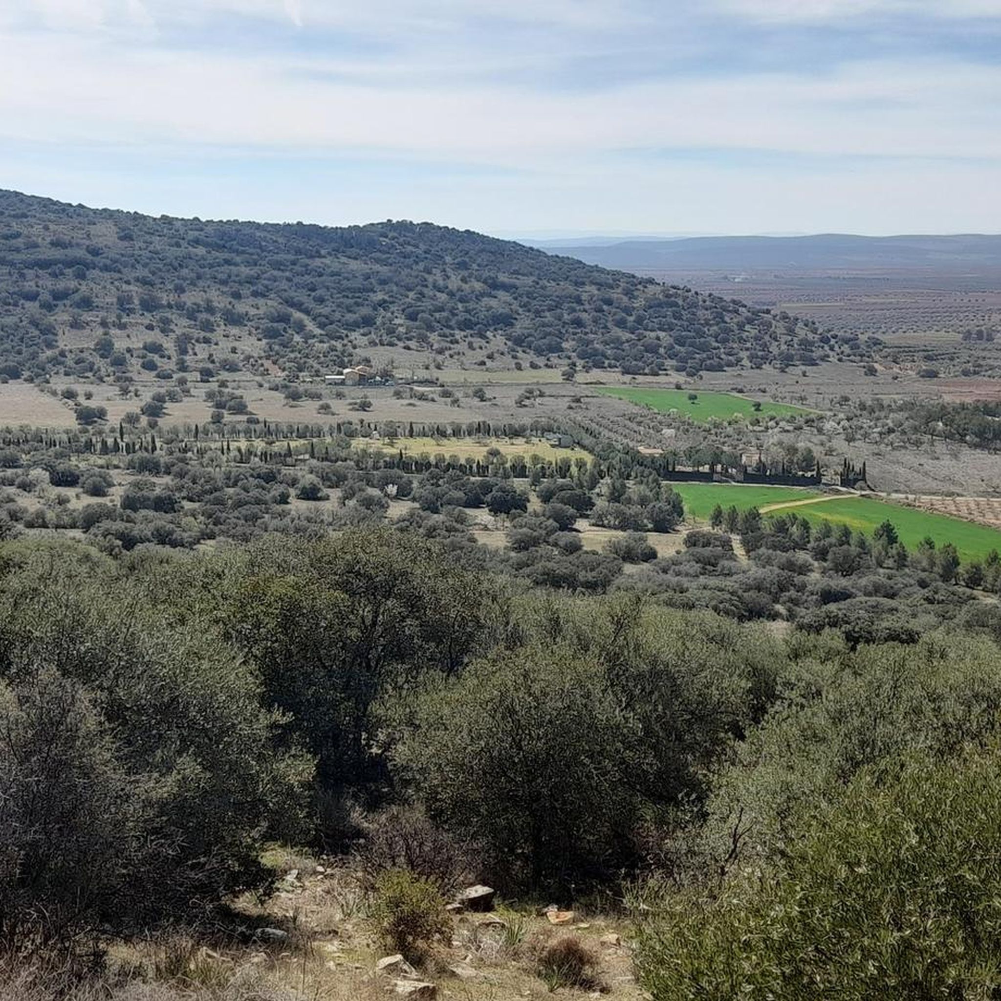
Valley that is located to the northeast of the town of Moral de Calatrava and above which you can see the slopes of Cerro Santo. Beautiful area if you come from La Senda de los Colmenares.
1
0
The archaeological importance of the environment in which the site of Oreto and Zuqueca is located has been well known since ancient times, since the Cerro de Oreto is located nearby, which contains the ruins of the capital of Oretania, Oretum according to sources, ( Roman province that covered from north to south beyond Sierra Morena and extended to the end of Bética); the Cerro de los Obispos, an important Iberian site on whose slopes appeared some burials attributed to Visigothic bishops (one of them Bishop Amador, as recorded on the tombstone that covered his tomb); several late-Roman necropolises corresponding to that classical city and the Roman bridge over the Jabalón ordered to be built by Publio Baebio Venusto, dated between the end of the 1st century and the beginning of the 2nd century AD, and which has currently been covered by the waters of the Reservoir. Numerous pieces belonging to different periods have been found, among which are coins, ceramics, farm elements, and loom stones.
2
0

Bridge of the old highway "C-417, Daimiel to Calzada by Almagro" In 1992, with the commissioning of the Vega del Jabalón dam, this bridge was replaced because it was at the flood level. This bridge built by MOPU, probably in the 70's.
0
0
Old Jabalón River bridge parallel to the current CM-413, walking or by bike it is possible to cross.
24
0
Next to what is currently the bridge over which vehicles pass, the old bridge that has always crossed the Río Jabalón is still standing.
1
0
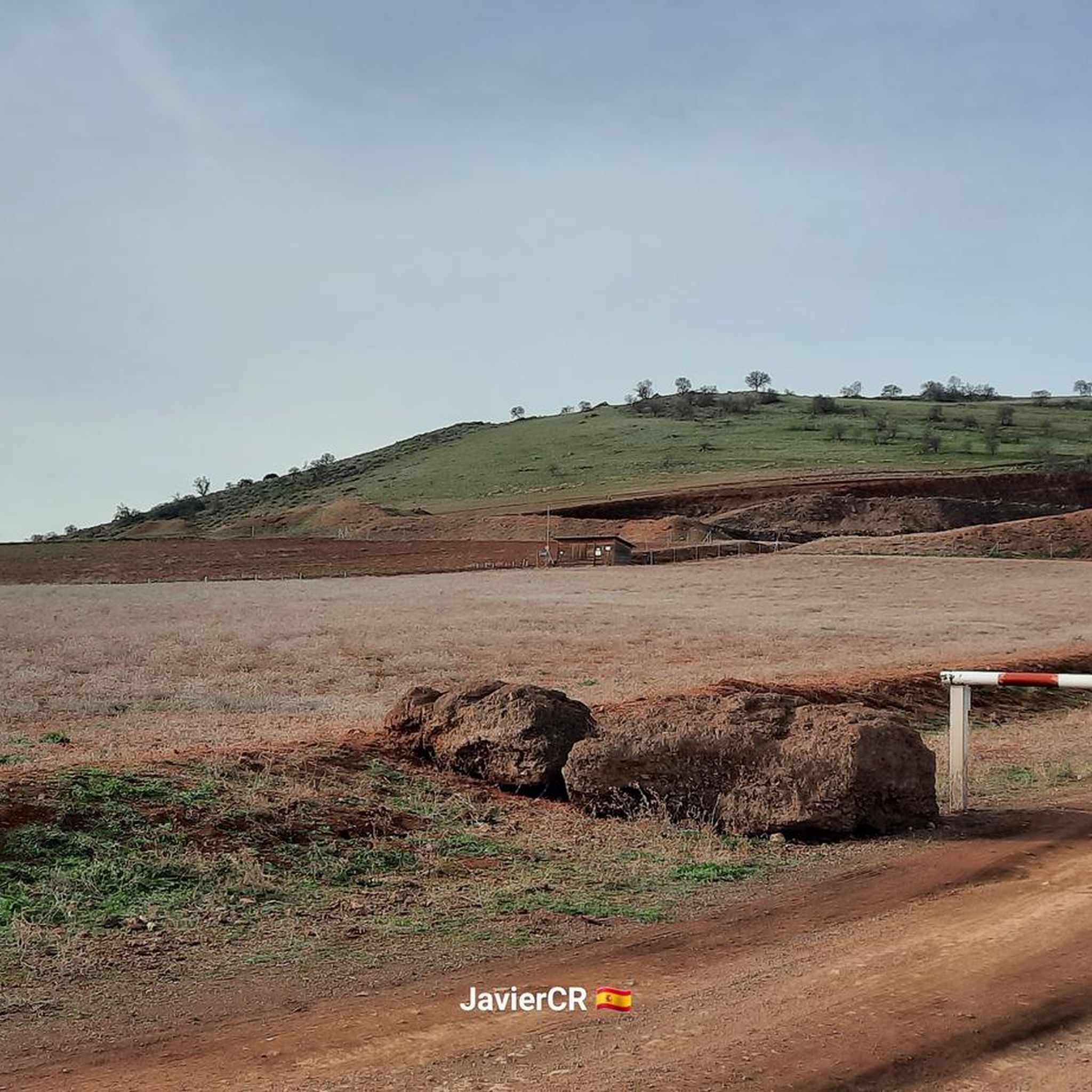
Yacimiento arqueológico de Oreto y Zuqueca and where there is also a hermitage that will be built later. It is a place where you have to go if you can since it is ready for visits.
1
0
モラルデカラトラバでのの人気観光スポット

komootモバイルアプリでインスピレーションを得よう


さらに探索
他の地域の最高のハイキングを見てみましょう。
