ブリーズのおすすめMTBライド
4.5
(60)
188
ライダー
35
ライド
ブリーズ周辺でのマウンテンバイクは、その地形を最大限に楽しむのに最適なスポーツですが、ライドのスタート地点を探すのが難しいこともあります。ブリーズ周辺でおすすめのルートが見つかるように、人気マウンテンバイクルートをご紹介します。
最終更新日: 8月 21, 2026
4.3
(4)
18
ライダー
43.2km
02:54
70m
70m
中程度のマウンテンバイクライド. ある程度のフィットネスレベルが必要です。 あらゆるスキルレベルに適しています。
4.8
(6)
20
ライダー
67.1km
04:03
90m
90m
中程度のマウンテンバイクライド. ある程度のフィットネスレベルが必要です。 あらゆるスキルレベルに適しています。

無料新規登録
4.6
(5)
14
ライダー
31.7km
01:47
70m
70m
初級者向けMTBライド. あらゆるフィットネスレベルに適しています。 あらゆるスキルレベルに適しています。
5.0
(1)
11
ライダー
50.5km
02:49
80m
80m
中程度のマウンテンバイクライド. ある程度のフィットネスレベルが必要です。 あらゆるスキルレベルに適しています。
4.5
(2)
8
ライダー
28.9km
01:52
40m
40m
初級者向けMTBライド. あらゆるフィットネスレベルに適しています。 あらゆるスキルレベルに適しています。
さらに多くのルートや他のユーザーのおすすめ情報を確認できます。
無料新規登録
すでにアカウントをお持ちですか?
おすすめのツアーは他のkomootユーザーが実際に経験した何千ものアクティビティに基づいています。
無料アカウントで今日から始めよう
次の冒険が待っています。
ログインまたは登録
コミュニティからのヒント

ここからのエルベ川、港、そしてエルベ川の草原の眺めは素晴らしいです。
0
0

ヴィッテンベルゲ近郊の新しいB189橋は、A14高速道路の拡幅工事の一部であり、北側に隣接する老朽化した旧橋(1978年建設、DDR最長の道路橋)です。2026年半ばから交通が開始される予定の新橋は、エルベ川横断を近代化し、古い構造物を置き換えるための大規模なインフラプロジェクトの一部として建設されます。
2
0
ヴィッテンベルゲ近郊の新しいB189橋は、A14高速道路の拡幅工事の一部であり、その北側に隣接する老朽化した旧橋(1978年建設、最長のDDR道路橋)です。2026年半ばから交通が開始される予定の新橋は、エルベ川の横断を近代化し、古い構造に取って代わるための大規模なインフラプロジェクトの一部として建設されています。
4
0
Hitzacker-Wittenberge区間では、ユネスコ生物圏保護区「エルベ川流域」に組み込まれた自然と歴史が、エルベ自転車道(Elberadweg)の興味深いツアー区間を提供しています。町々の間の静けさと、コウノトリ、ツル、ビーバー、羊などのカラフルな野生生物は、この景観の原生性を物語っています。春と秋には特徴づけられます。
4
0

The observation tower on the Elbe Cycle Path near Bälow is situated in the heart of the Elbe floodplains and offers a panoramic view of the river landscape, dikes, and meadows of the Prignitz region. It primarily serves as a rest stop and viewpoint for cyclists on the Elbe Cycle Path, as well as an observation point for the diverse birdlife of the Elbe River Landscape Biosphere Reserve. From the elevated platform, numerous water birds and meadow birds can be observed, especially during migration seasons, thus combining landscape observation with a nature experience.
0
0
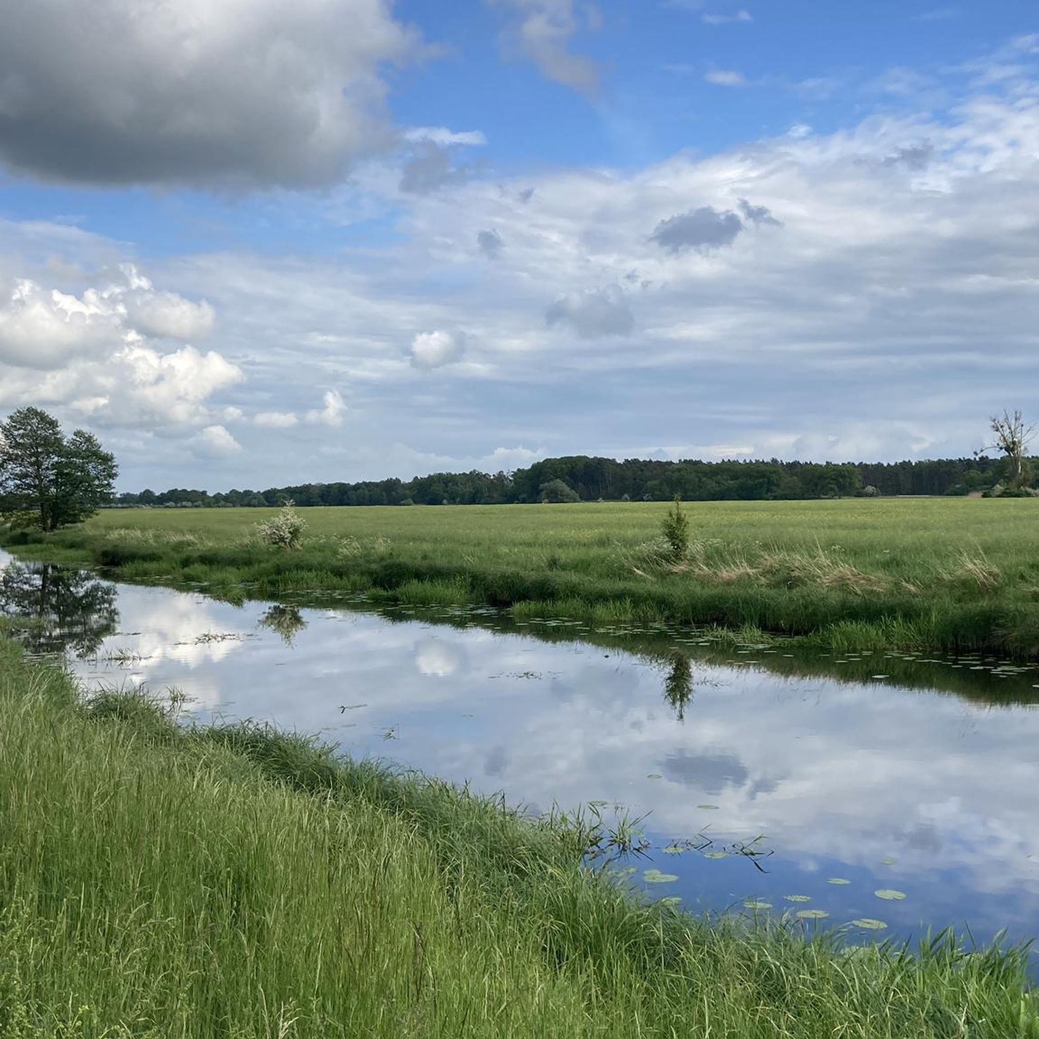
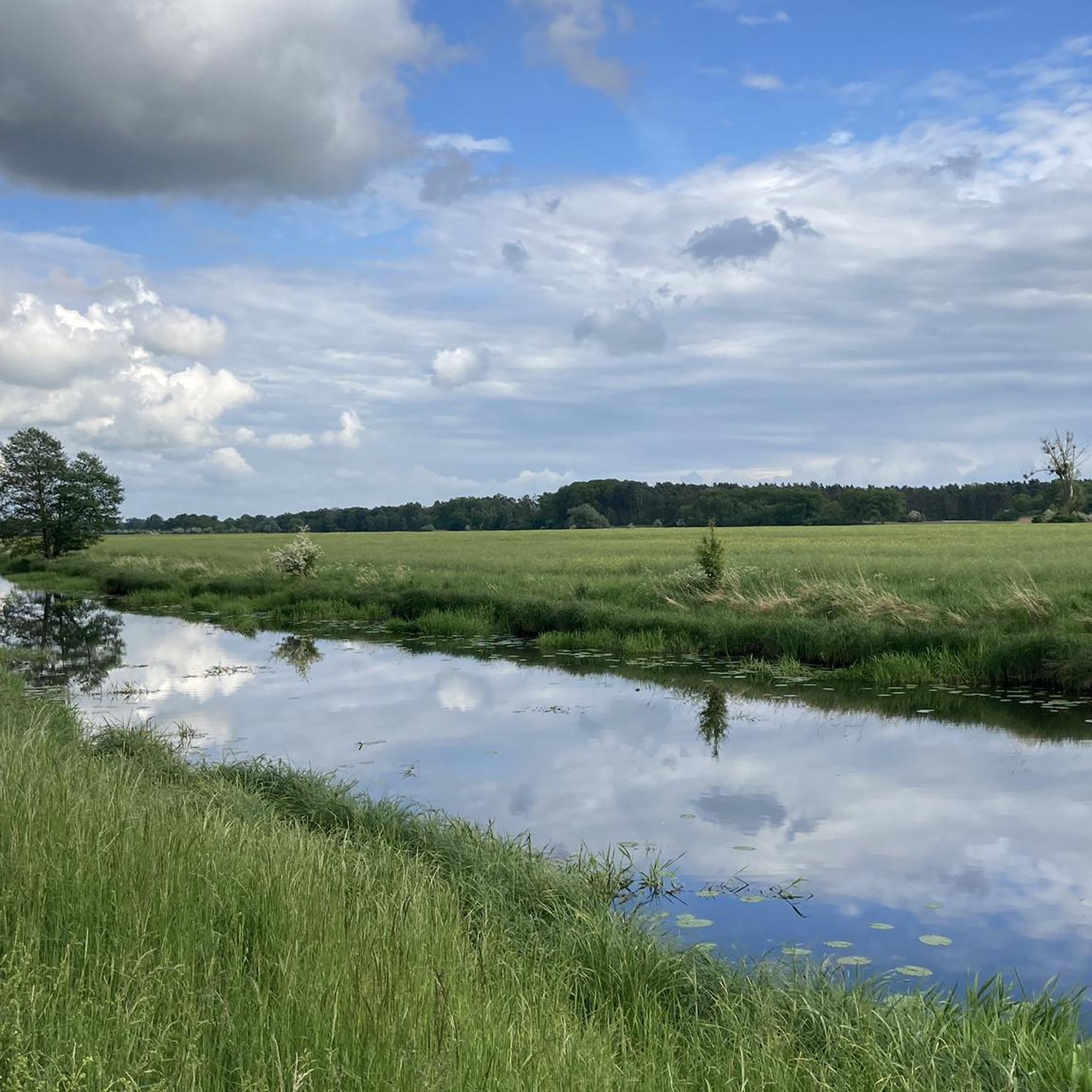
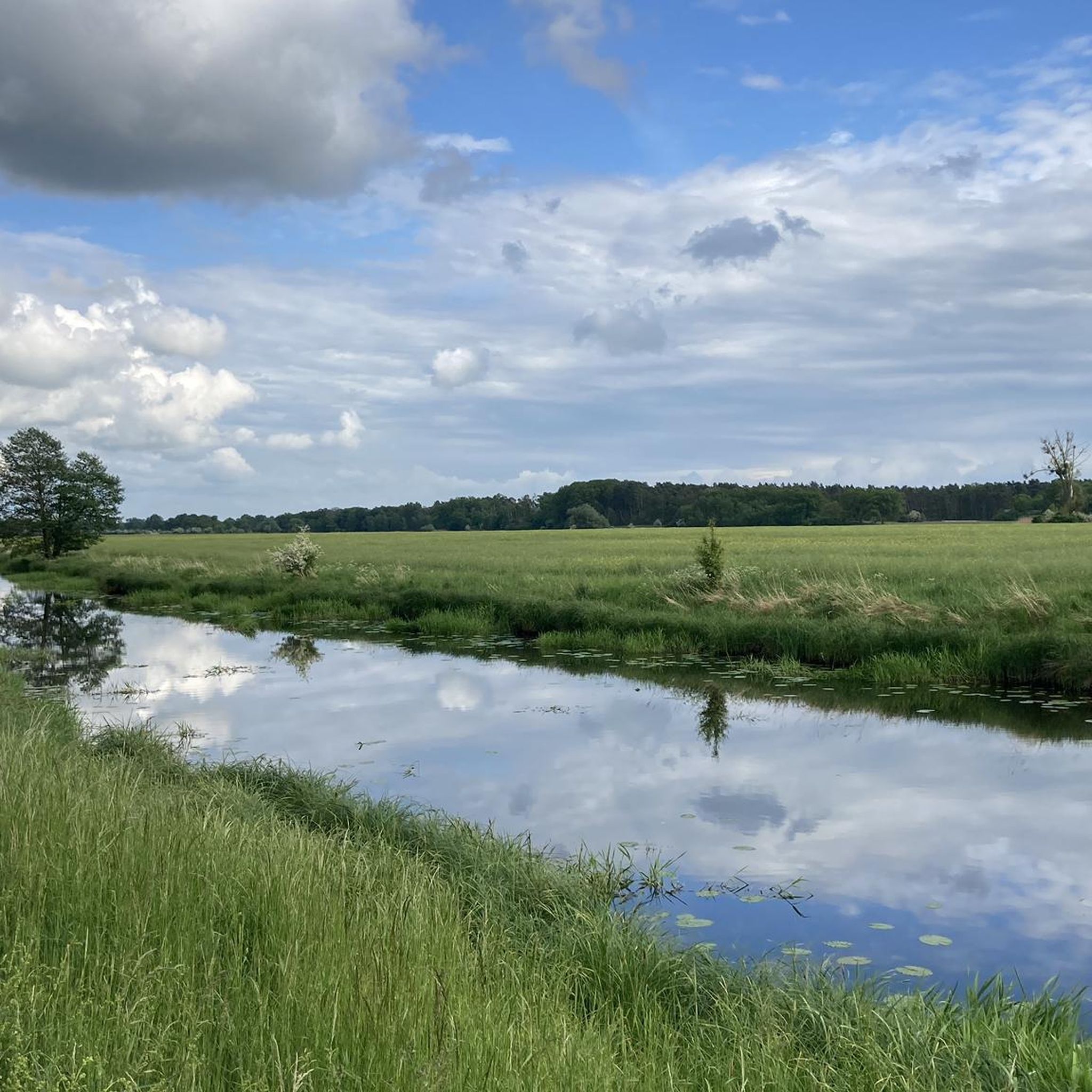
A sprawling, flat river landscape characterized by waterways, meadows, and groups of trees. The lowlands serve as a natural floodplain and change their appearance depending on the water level and season. Open vistas are characteristic, making the area a typical example of a near-natural Elbe floodplain landscape.
0
0
The Friedrich Ludwig Jahn Elementary School in Wittenberge has a long and eventful history. It was built between 1905 and 1907 according to the plans of the city architect Friede E. Bruns and was officially opened as a civic school on April 9, 1907. The then-mayor, Paul Nedwig, participated in the opening ceremony. On August 11, 1928, the school received its current name on the occasion of Friedrich Ludwig Jahn's 150th birthday. In the years following the Second World War, between 1946 and 1956, the school was used exclusively as a boys' school. From 1959 onward, it was transformed into the Friedrich Ludwig Jahn Polytechnic Secondary School (POS I). With German reunification, a comprehensive restructuring began. From 1990, the school was initially converted into a comprehensive school with a primary school section. The schoolyard was renovated in 1991. On August 1, 1994, the school was officially established as an independent primary school. Between 1994 and 1996, the school underwent extensive renovations. In 2002, the exterior facade was restored. The modernized gymnasium was officially opened in December 2006. A year later, in 2007, the school celebrated its 100th anniversary with a series of festivities, including 100 activities and a grand gala at the cultural and festival hall.
0
0
The bridge over the Stepenitz is an important crossing just before the river flows into the Elbe. It connects central urban areas with adjacent residential and recreational areas and is used by vehicular traffic, pedestrians, and cyclists. Its location in the river and floodplain landscape offers unobstructed views of the Stepenitz and the surrounding countryside. It is a defining element of Wittenberge's cityscape.
1
0
ブリーズでのの人気観光スポット

komootモバイルアプリでインスピレーションを得よう


さらに探索
他の地域の最高のMTBトレイルを見てみましょう。
