ボックホルストのおすすめウォーキング&ハイキングルート
4.4
(684)
2,387
ハイカー
182
ハイキング
ボックホルスト 周辺でおすすめのハイキングやウォーキングを楽しんでいただけるように、このエリアの小径やルートを集めたkomootコレクション全体を見直しました。 以下で各ルートの詳細をご覧になり、ボックホルスト周辺の大自然を満喫する際の参考にしてください。
最終更新日: 11月 4, 2026
4.5
(60)
156
ハイカー
17.5km
04:28
60m
60m
中程度のハイキング. ある程度のフィットネスレベルが必要です。 歩きやすい道です。

4.8
(4)
17
ハイカー
4.23km
01:04
0m
0m
初級者向けハイキング. 歩きやすい道です。
1.0
(1)
1
ハイカー
8.34km
02:06
10m
10m
中程度のハイキング. ある程度のフィットネスレベルが必要です。 歩きやすい道です。
さらに多くのルートや他のユーザーのおすすめ情報を確認できます。
すでにアカウントをお持ちですか?
おすすめのツアーは他のkomootユーザーが実際に経験した何千ものアクティビティに基づいています。
無料アカウントで今日から始めよう
次の冒険が待っています。

コミュニティからのヒント

Unfortunately, it was freezing cold and sleet. It was too slippery. But we'll be back!
1
0

The 35.8 km gravel loop runs along the towers. This agricultural road is NOT to be used and is closed off!!! The Jammertalstrasse should be approached from Langholt.
0
0

Nice sturdy bench in the shade with a view of the fields.
0
0

Each mast is mounted on an approximately 3-meter-high ceramic insulator that can withstand a load of 4,000 tons and insulates voltages of up to 250 kV. The masts are each secured by nine guy wires at three levels, each offset by 120 degrees. Four masts form a common antenna that requires no overhead connection. The antenna is fed via coaxial cables to the tuning stations, where the power is adjusted and fed into the mast. It is worth noting that the antenna structure does not have a pronounced directional pattern, as it is smaller than the wavelength of 12.82 km at the current frequency of the DHO38. For inspection and maintenance work, there is a worm-gear-driven elevator and a ladder inside the masts. The elevator can transport up to three people and ensures safety through mandatory safety harnesses.
2
0
Superlatives The naval radio station is one of the tallest military structures in Western Europe and, at 352.8 meters, the second tallest structure in Germany, visible from over 30 kilometers away. The transmitter is located near Saterland-Ramsloh in the Cloppenburg district (Lower Saxony). The borders of the two districts of Cloppenburg and Leer run through the naval radio station site. Five antennas are located in East Frisia, and three are located in Cloppenburg. The site is surrounded by a 12-km-long, continuously monitored fence. A naval radio station with eight identical umbrella antennas mounted on 352.8-meter-high tubular steel masts. These masts have a diameter of 2.20 meters and wall thicknesses of 8 to 13 mm, depending on local loads.
1
0

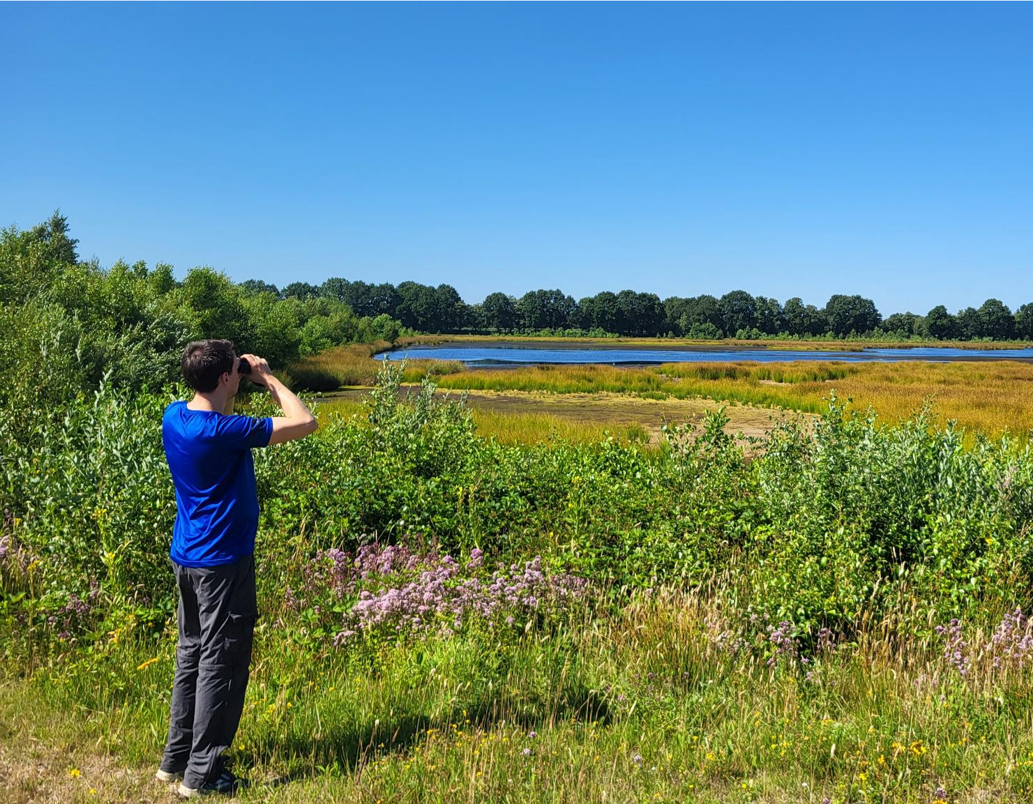
The hut offers an incredibly magnificent view of the Esterweger Dose (and the Navy's marine radio station with its red and white masts). Large panels also explain the many animals and plants. Truly fantastic!
0
0
Here is an information board about the moor and the ground-nesting birds
0
0
ボックホルストでのの人気観光スポット

komootモバイルアプリでインスピレーションを得よう


さらに探索
他の地域の最高のハイキングを見てみましょう。
