ジェマアングットのおすすめランニングルート
4.7
(24)
1,624
ランナー
103
ランニング
ジェマンゴット周辺のジョギングは、フランス東部のヴォージュ山塊内で多様な地形を提供します。この地域は、広大な松林、高地の草原、山岳風景が特徴で、標高は424メートルから986メートルまで変化します。GR de Pays de La Ligne Bleue des Vosgesの一部を含む広範なトレイルネットワークは、ランナーに変化に富んだ地形を提供します。このエリアには、ペティット・リエーヴル渓谷を見下ろす景色を含む、爽快な登りと風光明媚な背景があります。
ジェマンゴット周辺の最高のジョギングルート
- 最も人気のあるジョギングルートは、Little Brézouard – Bagenelles Pass loop from Écheryで、所要時間5時間36分、距離26.0マイル(41.9 km)のトレイルです。この難易度の高いルートからは、山岳風景の広大な眺めが楽しめます。
- 地元のランナーに人気のもう一つのルートは、View of Ban de Laveline – Ban-de-Laveline loop from Ban-de-Lavelineで、距離7.6マイル(12.3 km)の難易度の高いコースです。このランニングルートからは、ペティット・リエーヴル渓谷の風光明媚な景色が楽しめます。
- 地元のランナーに人気のRoche des Chèvres – Old boundary marker loop from Wisembachは、10.7マイル(17.1 km)のトレイルで、変化に富んだ地形を通り抜け、所要時間は約2時間20分です。
- ジェマンゴット周辺のジョギングは、高地の草原、山岳地形、渓谷の景色が特徴です。広範なランニングルートのネットワークは、簡単な小道から上級者向けのトレイルランニングまで、さまざまなレベルのランナーに対応するオプションを提供します。
- ジェマンゴットのルートは、komootコミュニティから高く評価されており、10件以上のレビューで平均4.7つ星を獲得しています。1000人以上のランナーがkomootを利用して、ジェマンゴットの多様な地形を探検しています。
最終更新日: 8月 22, 2026
5.0
(1)
151
ランナー
21.0km
02:58
960m
960m
難しいジョギング. 標準以上のフィットネスレベルが必要です。 安定して歩行できる技術、丈夫な靴、高標高地での登山経験が必要です。
120
ランナー
41.7km
05:35
1,670m
1,670m
難しいジョギング. 標準以上のフィットネスレベルが必要です。 全般的に進みやすいルートです。一部で、安定して歩行できる技術が必要です。

無料新規登録
24
ランナー
12.3km
01:29
380m
380m
難しいジョギング. 標準以上のフィットネスレベルが必要です。 全般的に進みやすいルートです。一部で、安定して歩行できる技術が必要です。
23
ランナー
17.4km
02:20
700m
700m
難しいジョギング. 標準以上のフィットネスレベルが必要です。 全般的に進みやすいルートです。一部で、安定して歩行できる技術が必要です。
5.0
(1)
9
ランナー
17.1km
02:18
620m
620m
難しいジョギング. 標準以上のフィットネスレベルが必要です。 全般的に進みやすいルートです。一部で、安定して歩行できる技術が必要です。
さらに多くのルートや他のユーザーのおすすめ情報を確認できます。
無料新規登録
すでにアカウントをお持ちですか?
おすすめのツアーは他のkomootユーザーが実際に経験した何千ものアクティビティに基づいています。
無料アカウントで今日から始めよう
次の冒険が待っています。
ログインまたは登録

コミュニティからのヒント

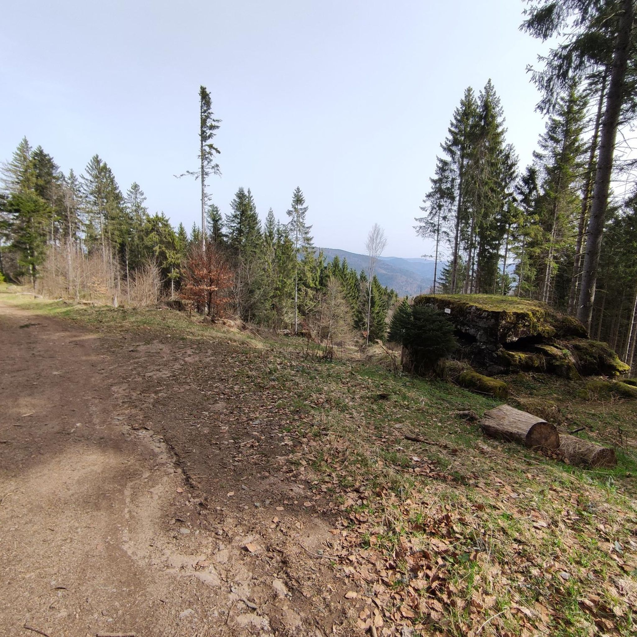
美しいシェルター、展望台まで200m、良いテント設営場所あり!
0
0

L b zuby. CX vc c. C Ex m Crazy schrieb y TV
0
0


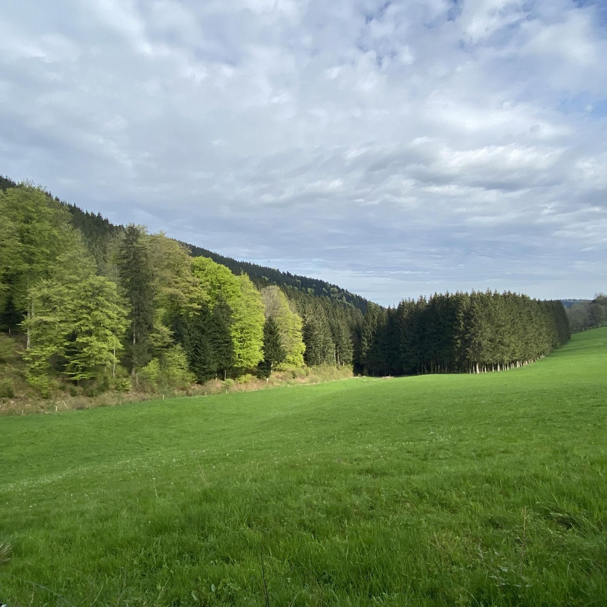
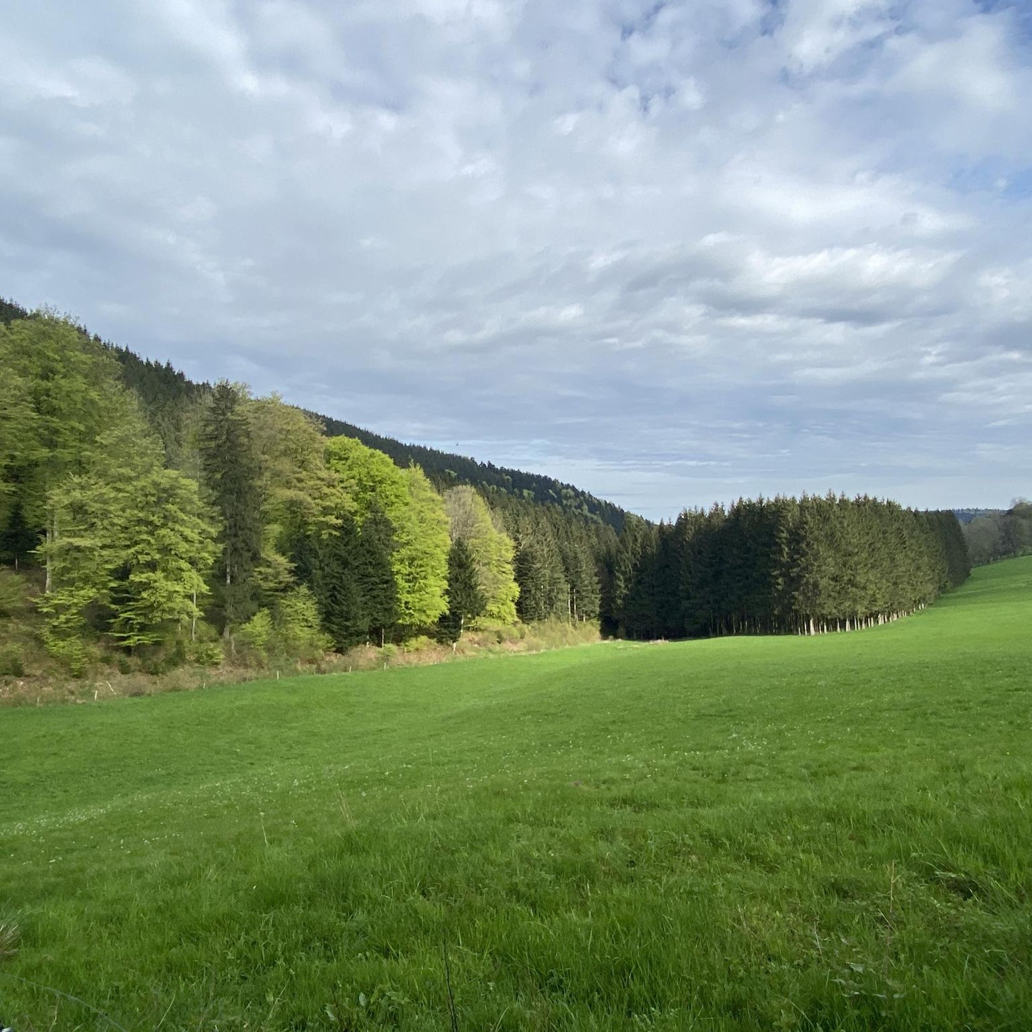
Nestled in a valley between wooded hills, this peaceful village is a gateway to the Vosges. During the First World War, it was close to the front, which is still visible in the area via bunkers, trenches and memorials. Today, Ban-de-Laveline is a popular base for hikers and cyclists, with routes to the Col d’Hermanpaire, the Spitzemberg and the nature reserve around the Tête de Raves. In the village itself, you will find a sober Église Saint-Laurent, a classic Monument aux Morts, and a peaceful atmosphere that invites you to explore.
9
0

Worth a stop not only when it rains: Refuge "Pierre des Trois Bans"
0
0

nice area with possibility of shelter and making a fire (outside risk periods)
0
0
ジェマアングットでのの人気観光スポット

komootモバイルアプリでインスピレーションを得よう


さらに探索
他の地域の最高のランニングトレイル & ルートを見てみましょう。
