ベルンハルトシュタールのおすすめウォーキング&ハイキングルート
4.7
(68)
346
ハイカー
62
ハイキング
ベルンハルトシュタール 周辺でおすすめのハイキングやウォーキングを楽しんでいただけるように、このエリアの小径やルートを集めたkomootコレクション全体を見直しました。 以下で各ルートの詳細をご覧になり、ベルンハルトシュタール周辺の大自然を満喫する際の参考にしてください。
最終更新日: 9月 21, 2026
5.0
(7)
29
ハイカー
3.37km
00:52
20m
20m
初級者向けハイキング. あらゆるフィットネスレベルに適しています。 進みやすいルートです。あらゆるスキルレベルに適しています。
5.0
(1)
11
ハイカー
8.22km
02:14
120m
120m
中程度のハイキング. ある程度のフィットネスレベルが必要です。 進みやすいルートです。あらゆるスキルレベルに適しています。

5.0
(1)
4
ハイカー
9.20km
02:29
120m
110m
中程度のハイキング. ある程度のフィットネスレベルが必要です。 進みやすいルートです。あらゆるスキルレベルに適しています。
1
ハイカー
6.35km
01:37
20m
20m
初級者向けハイキング. あらゆるフィットネスレベルに適しています。 進みやすいルートです。あらゆるスキルレベルに適しています。
1
ハイカー
8.33km
02:06
10m
10m
中程度のハイキング. ある程度のフィットネスレベルが必要です。 進みやすいルートです。あらゆるスキルレベルに適しています。
さらに多くのルートや他のユーザーのおすすめ情報を確認できます。
すでにアカウントをお持ちですか?
おすすめのツアーは他のkomootユーザーが実際に経験した何千ものアクティビティに基づいています。
無料アカウントで今日から始めよう
次の冒険が待っています。

コミュニティからのヒント

The architect was Max Fleischer. David Kuffner financed the construction. Vienna connection with Ottakringer beer and the Kuffner Observatory.
0
0


Today, most of the defunct railway's route is made up of a road, characteristically called Drážka. The 700 mm track was used to transport timber, eventually reaching a length of 28 km and operating from 1908 to 1965. In 1938, it helped with military mobilization to transport soldiers, ammunition and other material to the border.
0
0


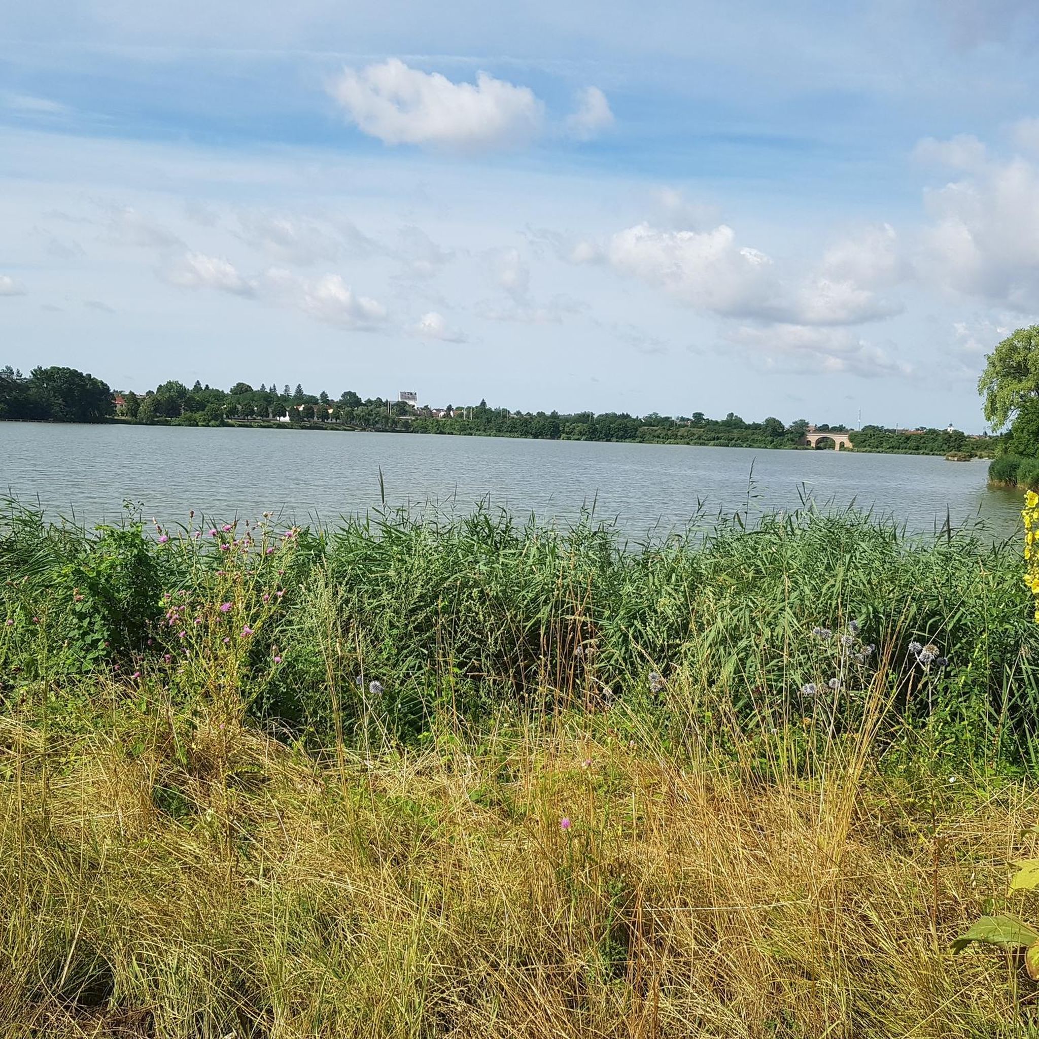
Grass path around the largest pond in the Weinviertel.
0
0
With its 25 hectares of water and a shore length of approx. 2.7 km, the landscape pond in Bernhardsthal is the largest water area in the Weinviertel.
1
0

The old wine cellars are located along three streets. Some have wine to take away.
0
0
The history of the church goes back to the 11th century. return. It was built or rebuilt in several construction phases.
0
0
ベルンハルトシュタールでのの人気観光スポット

komootモバイルアプリでインスピレーションを得よう


さらに探索
他の地域の最高のハイキングを見てみましょう。
