バート・ゾーデン・サルミュンスターのおすすめツーリングルート
4.4
(1460)
4,790
ライダー
156
ライド
バート・ゾーデン・サルミュンスター周辺でのおすすめのサイクリングルートを参考にして、このエリアを最大限に楽しみましょう。ここでご紹介するのは、バート・ゾーデン・サルミュンスター周辺の人気バイクライドです。ぜひ、自分に合ったルートを見つけてください。
最終更新日: 10月 4, 2026
4.7
(516)
768
ライダー
35.6km
02:09
170m
170m
中程度の自転車ライド. ある程度のフィットネスレベルが必要です。 全般的に舗装された状態です。あらゆるスキルレベルに適しています。
4.5
(111)
424
ライダー
82.6km
04:45
220m
220m
中程度の自転車ライド. ある程度のフィットネスレベルが必要です。 全般的に舗装された状態です。あらゆるスキルレベルに適しています。

4.7
(39)
169
ライダー
14.6km
00:53
70m
70m
初級者向けバイクライド. あらゆるフィットネスレベルに適しています。 全般的に舗装された状態です。あらゆるスキルレベルに適しています。
4.8
(78)
110
ライダー
54.1km
03:15
390m
390m
中程度の自転車ライド. ある程度のフィットネスレベルが必要です。 全般的に舗装された状態です。あらゆるスキルレベルに適しています。
4.4
(54)
180
ライダー
28.1km
01:38
100m
100m
初級者向けバイクライド. あらゆるフィットネスレベルに適しています。 全般的に舗装された状態です。あらゆるスキルレベルに適しています。
さらに多くのルートや他のユーザーのおすすめ情報を確認できます。
すでにアカウントをお持ちですか?
おすすめのツアーは他のkomootユーザーが実際に経験した何千ものアクティビティに基づいています。
無料アカウントで今日から始めよう
次の冒険が待っています。
バート・ゾーデン・サルミュンスター周辺で人気
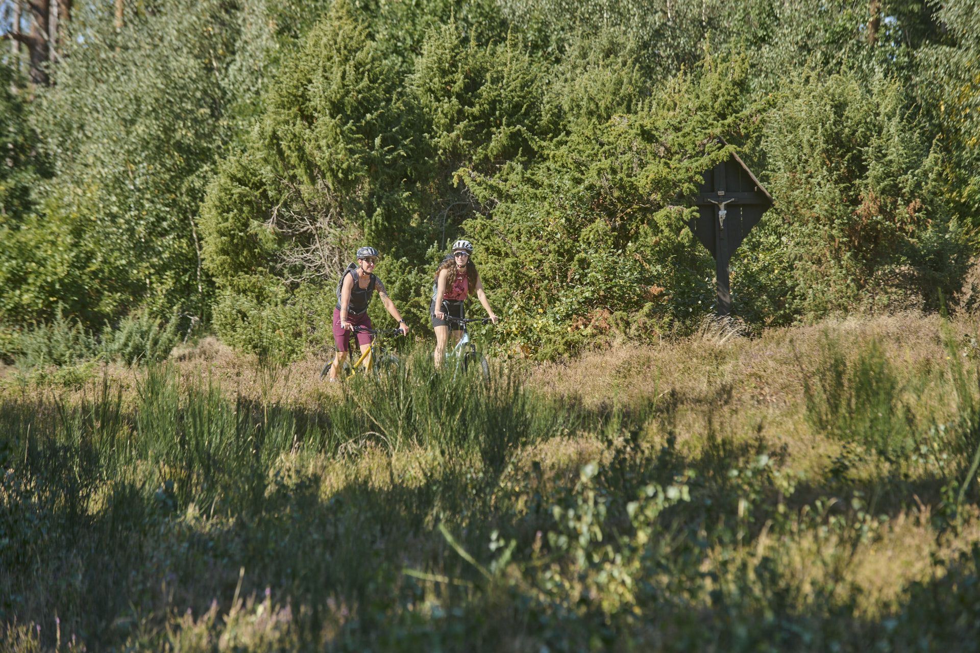
Nature, trails and local cuisine – MTB in the Spessart
Relaxed hiking in the Spessart – short trails of discovery
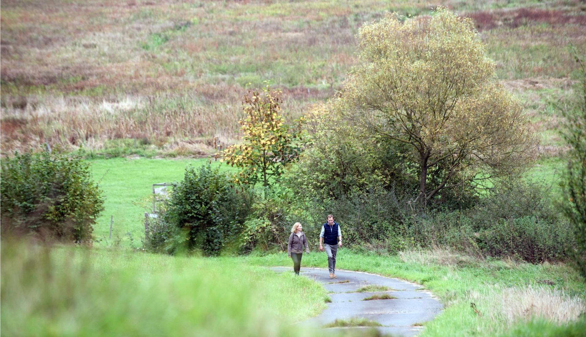
Pleasure hiking in the Spessart: trails that taste as good as they look

Winter adventures by public transport – hikes for the whole family

Thousands of kilometres of hiking fun – long-distance hiking trails in Bavaria
Endless forests, flowing trails – MTB in Germany’s Spessart region
Mountain biking in the Spessart – Awesome trails in Germany
ハイキングを通じてドイツの最も偉大な森の一つ - シュペッサルト 3
Mountain biking in the Spessart – Awesome trails in Germany
Wald erFahren – E-Bike-Touren im Spessart
バート・ゾーデン・サルミュンスターでのの他の冒険


コミュニティからのヒント


今日の利用 レクリエーション:湖の周りのエリアは、サイクリストや散歩者向けの約7キロメートルの周回路がある人気のレジャースポットとして機能しています。 アルデアの湖の世界:16のステーションを備えた特別な学習・体験コースは、訪問者に地元の自然、鳥の保護、ダムの技術について遊び心のある方法で情報を提供します。
1
0
目的と機能 洪水対策:Kinzig川の洪水に対する最も重要な対策の1つと見なされており、Vogelsbergからの流入などによって引き起こされます。 エネルギー生成:発電用の小型タービン設備がダム本体に直接組み込まれています。 低水流量の調整:乾燥した時期には、貯水池がKinzig川の水位を安定させるのに役立ちます。
1
0
建設と費用建設期間:ダムの工事は1976年に始まり、1982年に完了しました(ダム建設と最初の貯水は1976年から1979年まで行われました)。建設費用:湖とダムの建設には、当時約7000万ドイツマルクがかかりました。技術データ:ダムの高さは14メートルです。貯水池の最大広がりは125ヘクタール、容量は約720万立方メートルの水です。
1
0
キンツィヒ貯水池(Kinzigtalsperre)は1976年から1982年の間に建設され、主に洪水調節、低水流量の増加、および発電に利用されています。ヘッセン州にある約70ヘクタールの貯水池は、バート・ゾーデン=ザルミュンスターとシュタイナウ・アン・デア・シュトラーセ(アール地区)の間に位置し、キンツィヒ水管理組合によって運営されています。
1
0
起源と近世 14世紀: キンツィヒ川沿いの最初の製粉所の推定される起源と建設。 1667年: 初めて確実に文書で言及され、粉屋のHans Georg Krembsに授与された。 18世紀: 油とキビの製粉所、後に嗅ぎタバコ製粉所へと拡張。
0
0
バート・ゾーデン・サルミュンスターでのの人気観光スポット

komootモバイルアプリでインスピレーションを得よう


さらに探索
他の地域の最高のサイクリングルートを見てみましょう。
