ビーバーゲミュントのおすすめツーリングルート
4.7
(485)
1,997
ライダー
101
ライド
Biebergemünd周辺のツーリングサイクリングルートは、ヘッセン・シュペッサルト自然公園内に位置し、広大な森林と起伏に富んだ地形が特徴です。この地域は、絵のように美しいビーバー川とキンツィヒ川の谷、そしてなだらかな森に覆われた丘陵地帯によって特徴づけられています。この環境は、ツーリングサイクリストに適した数多くの指定されたルートを備え、アウトドアアクティビティに多様な背景を提供します。この地域は、森林地帯と変化に富んだ地形の組み合わせを提供しており、ビーバーゲミュントの自治体の約70%が森林に覆われています。
Biebergemünd周辺の最高のツーリングサイクリングルート
- 最も人気のあるツーリングサイクリングルートは、地元の田園風景の眺めを提供する、所要時間2時間26分、距離25.3マイル(40.8 km)のヴィルテハイム発、グローサー・クロイツベルク近くのベンチ – ワイラーズ近くのロングメドウ周回コースです。
- 地元のツーリングサイクリストの間で他に人気のルートは、歴史的な場所と谷を抜ける風光明媚な区間を結ぶ、中程度の難易度で距離20.6マイル(33.2 km)のビーバー発、ヴァハターバッハ城 – ヴィルテハイム城周回コースです。
- 地元のツーリングサイクリストは、森に覆われた丘陵地帯を通り抜け、所要時間約2時間30分で走破できる、距離17.2マイル(27.6 km)のビーバー発、カイザーアイヒェン分岐点 – カイザーのオーク周回コースも気に入っています。
- Biebergemünd周辺のツーリングサイクリングは、川の谷、森に覆われた丘陵地帯、そして広大なシュペッサルト自然公園によって特徴づけられます。このネットワークは、さまざまなスキルレベルに対応する、簡単な、中程度の、難しいルートのオプションを提供します。
- Biebergemündのルートは、300件以上のレビューから平均4.6つ星という高い評価をkomootコミュニティから受けています。1,900人以上のツーリングサイクリストがkomootを使用して、Biebergemündの多様な地形を探索しています。
最終更新日: 9月 7, 2026
4.6
(107)
312
ライダー
26.8km
01:36
100m
100m
初級者向けバイクライド. あらゆるフィットネスレベルに適しています。 全般的に舗装された状態です。あらゆるスキルレベルに適しています。
4.1
(7)
126
ライダー
27.6km
02:31
670m
670m
難しい自転車ライド. 標準以上のフィットネスレベルが必要です。 ツアーの一部で自転車を押して歩く必要があるかもしれません。

4.5
(20)
76
ライダー
43.9km
03:11
410m
410m
中程度の自転車ライド. ある程度のフィットネスレベルが必要です。 全般的に舗装された状態です。あらゆるスキルレベルに適しています。
4.5
(27)
101
ライダー
18.8km
01:06
110m
110m
初級者向けバイクライド. あらゆるフィットネスレベルに適しています。 全般的に舗装された状態です。あらゆるスキルレベルに適しています。
4.3
(10)
82
ライダー
8.45km
00:29
20m
20m
初級者向けバイクライド. あらゆるフィットネスレベルに適しています。 全般的に舗装された状態です。あらゆるスキルレベルに適しています。
さらに多くのルートや他のユーザーのおすすめ情報を確認できます。
すでにアカウントをお持ちですか?
おすすめのツアーは他のkomootユーザーが実際に経験した何千ものアクティビティに基づいています。
無料アカウントで今日から始めよう
次の冒険が待っています。
ビーバーゲミュント周辺で人気
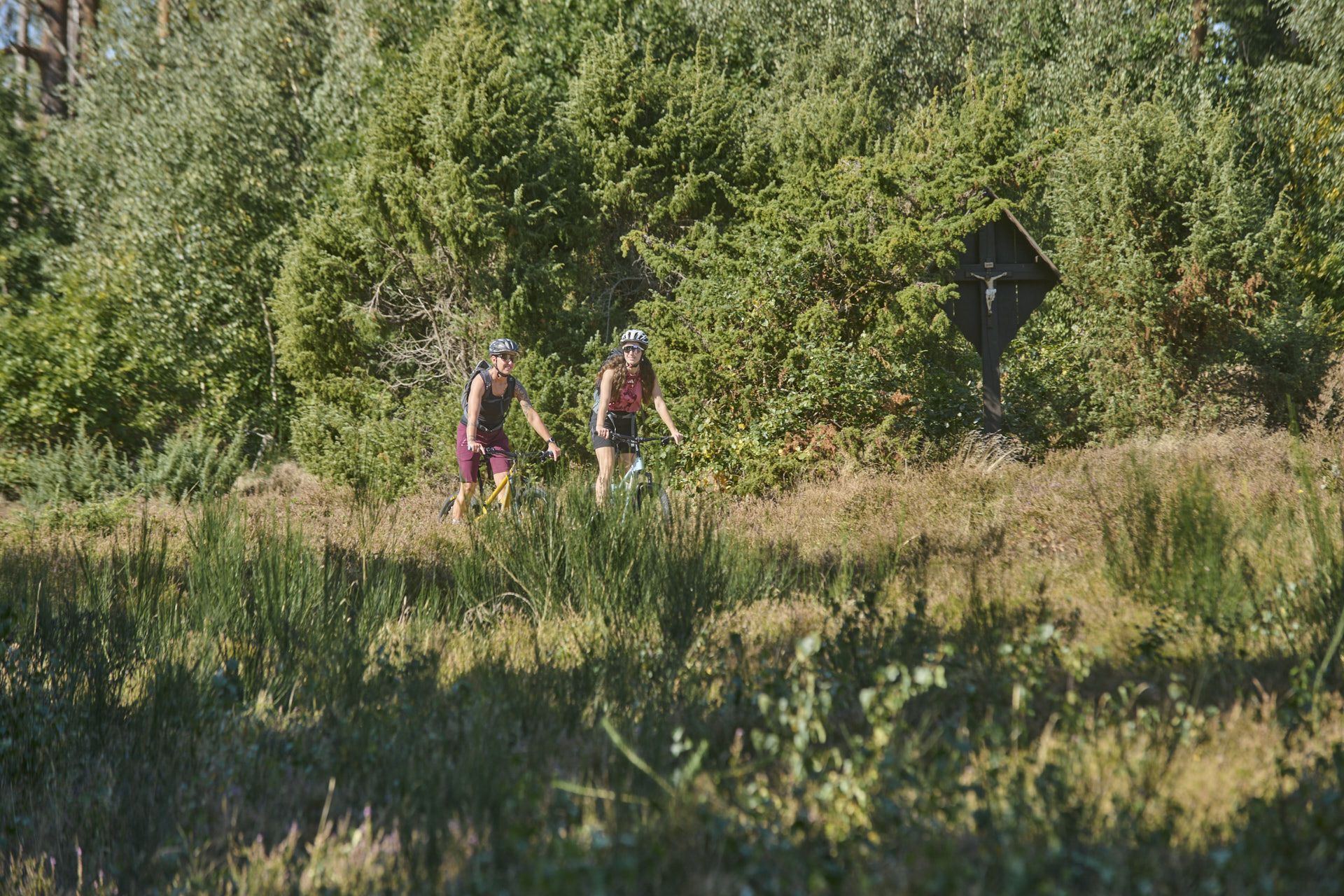
Nature, trails and local cuisine – MTB in the Spessart
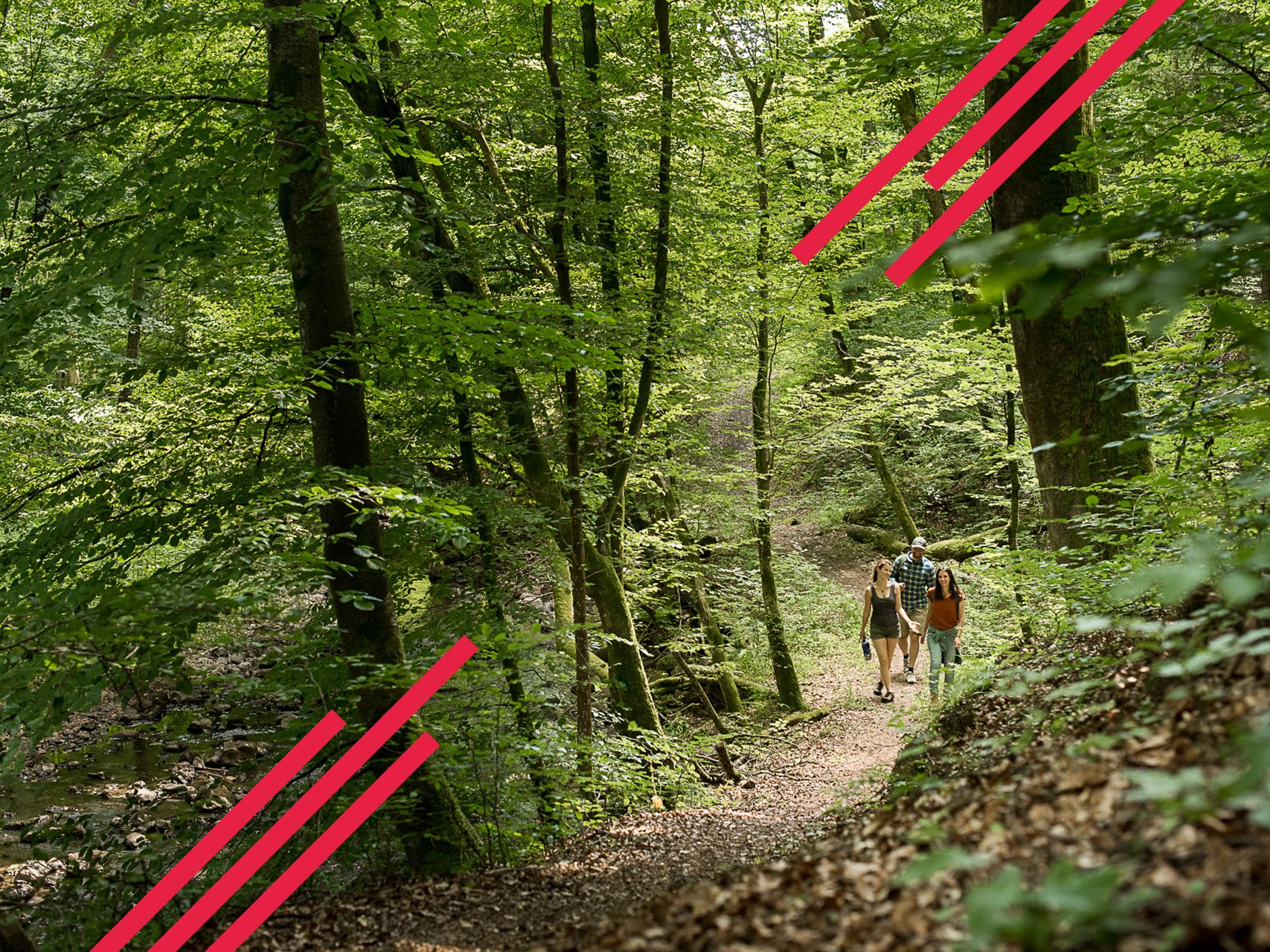
Relaxed hiking in the Spessart – short trails of discovery
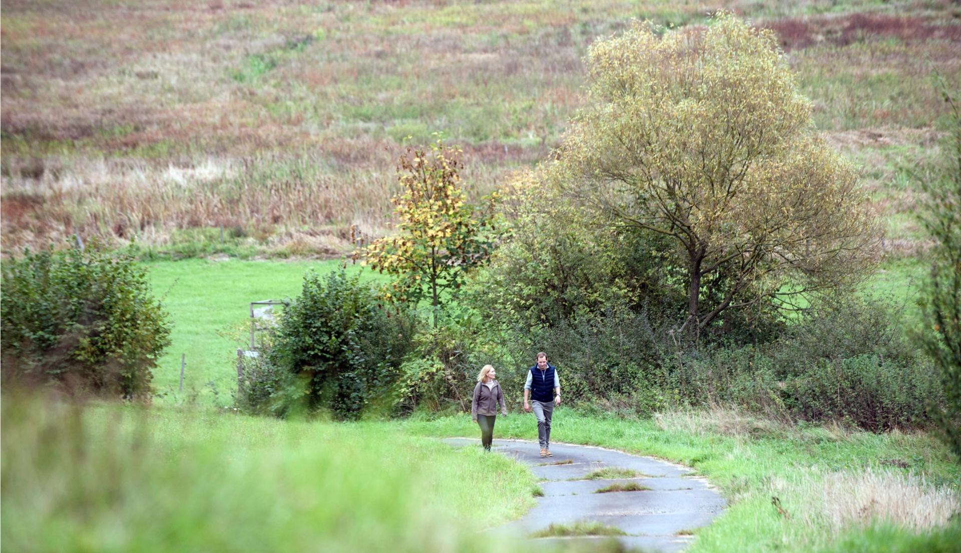
Pleasure hiking in the Spessart: trails that taste as good as they look
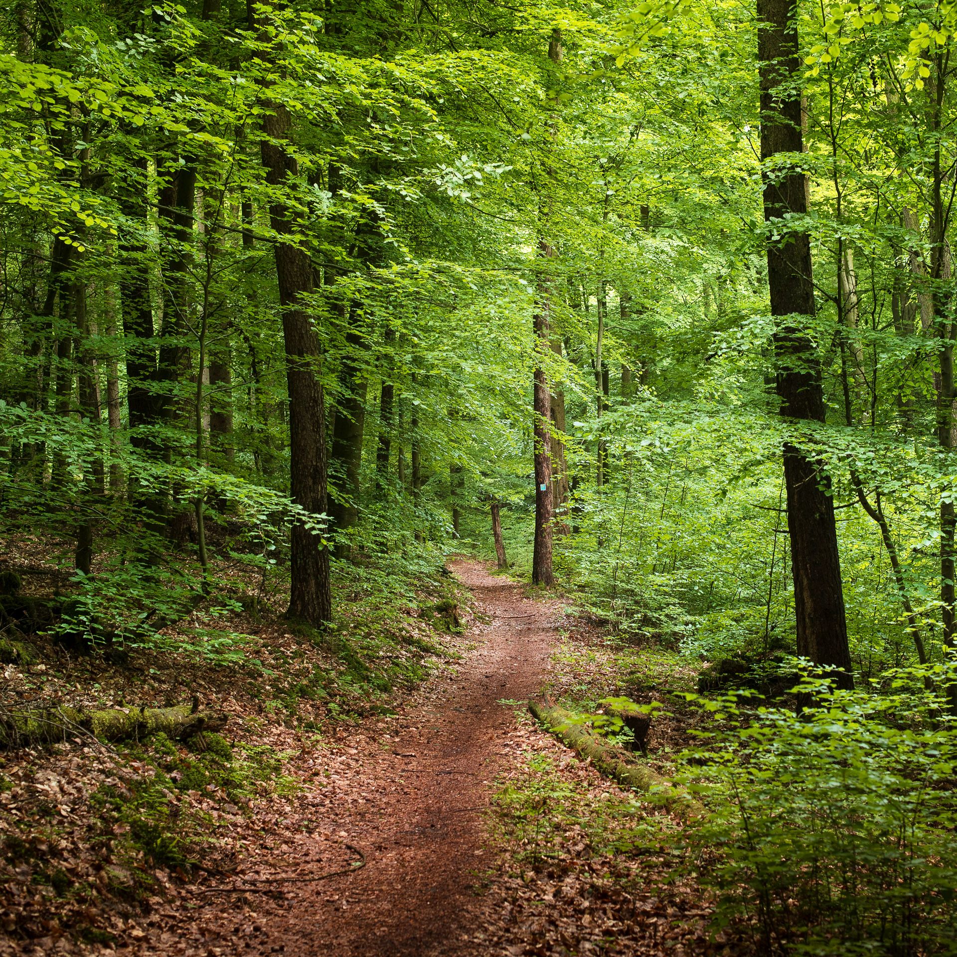
Endless forests, flowing trails – MTB in Germany’s Spessart region
Mountain biking in the Spessart – Awesome trails in Germany
Mountain biking in the Spessart – Awesome trails in Germany
Die schönsten Herbstwanderungen im Spessart
Die schönsten Premium-Spazierwanderwege im Hessischen Spessart
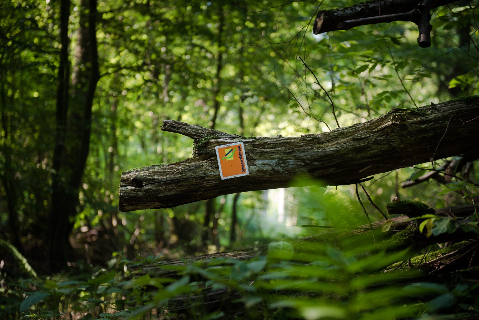
Die Spessartfährten: Sanfte Tageswanderungen durch den hessischen Spessart
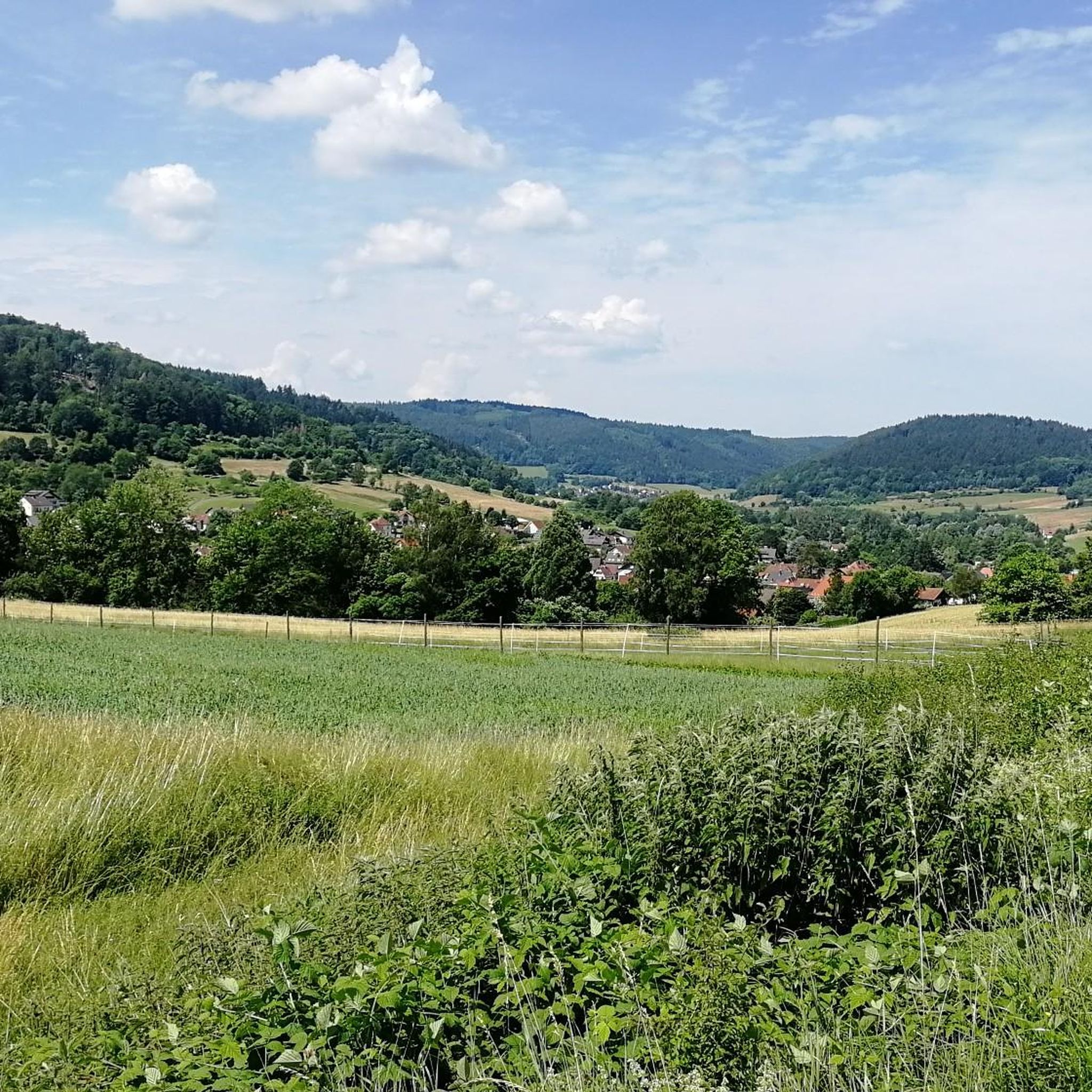
ビーバーゲミュントでのハイキング
ビーバーゲミュントでのの他の冒険

コミュニティからのヒント


歴史的なマルクトプラッツ(市場広場)は、バート・オルブの旧市街の活気ある中心部を形成しており、ザルツグラーフェンハウスのような壮大な木組み建築が並んでいます。その中央には、かつて市民の水道供給において、複数の公共の噴水の一つとして中心的な役割を果たしていたマルクトブルネン(市場の噴水)があります。今日、この噴水と広々とした広場は、人々を立ち止まらせ、街の祭り、市場、イベントの背景として役立っています。
0
0


Pretty castle on the edge of the historic town center
0
0

Here you can still enjoy nature. The narrow-gauge railway only runs infrequently on the route to Bad Orb.
1
0

The Kinzig is a river approximately 86 kilometers long. It rises in Sterbfritz, flows southwest through the Main-Kinzig district of Hesse, and flows into the Main from the right in Hanau. The Kinzig is a second-order river in low mountain ranges. It overcomes an elevation of 301 meters and has a bed gradient of 3.5 per thousand. The Kinzig's catchment area covers 1,058 square kilometers, and the calculated mean discharge (MQ) at the mouth of the Kinzig is 10.97 cubic meters per second. The Kinzig was first documented in 796 as "iuxta fluvium Kincihen." In 815, the name was written as "Chinzicha," around 900 as "Kincicha"/"Kinzicham," in 1364 as "Kinzige," in 1584 as "Kintzig," in 1607 as "Bintz," in 1681 as "Kintz," in 1716 as "Kins," in 1769 as "Kinzing," and in 1802 as "Kinzig." In the river's headwaters, there was the now-defunct village of Kinzig, mentioned in 815 as "Chirizichheimero." The village and river were often confused by monastery scribes at that time with "Chizzicha" (now Bad Kissingen), both of which were described as being located in the Saalegau. The name presumably derives from the ancient Celtic *ku̯anti̯o- meaning "flat hill, valley." The name was therefore derived from the mountainous region from which the Kinzig flows. Source: Wikipedia
2
0

komootモバイルアプリでインスピレーションを得よう


さらに探索
他の地域の最高のサイクリングルートを見てみましょう。
