バート・ゾーデン・サルミュンスターの天然記念物・トップ20
バート・ゾーデン・サルミュンスターが誇る美しい風景を見てみたいなら、バート・ゾーデン・サルミュンスターの素晴らしい天然記念物・トップ20
に行ってみましょう。あなたにぴったりの場所が見つかるよう、素晴らしい天然記念物を探索するために必要なすべての情報を集めました。次のアウトドアの冒険に出かける計画の参考にしましょう。
最終更新日: 10月 11, 2026
キンツィヒ貯水池
ハイライト • 湖
翻訳者 Google •
役立つ情報 は

キンツィク川の氾濫原
ハイライト • 川
翻訳者 Google •
役立つ情報 は

今すぐサインアップして、こんな場所を発見しよう
最高のシングルトラック、ピーク、その他のエキサイティングなアウトドアスポットのおすすめを受け取ろう。
エッシェンカー木道湿原トレイル
ハイライト • トレイル
翻訳者 Google •
役立つ情報 は

シュトルツェンベルク城跡
ハイライト • 城
翻訳者 Google •
役立つ情報 は

無料アカウントで今日から始めよう
次の冒険が待っています。
バート・ゾーデン・サルミュンスター周辺で人気
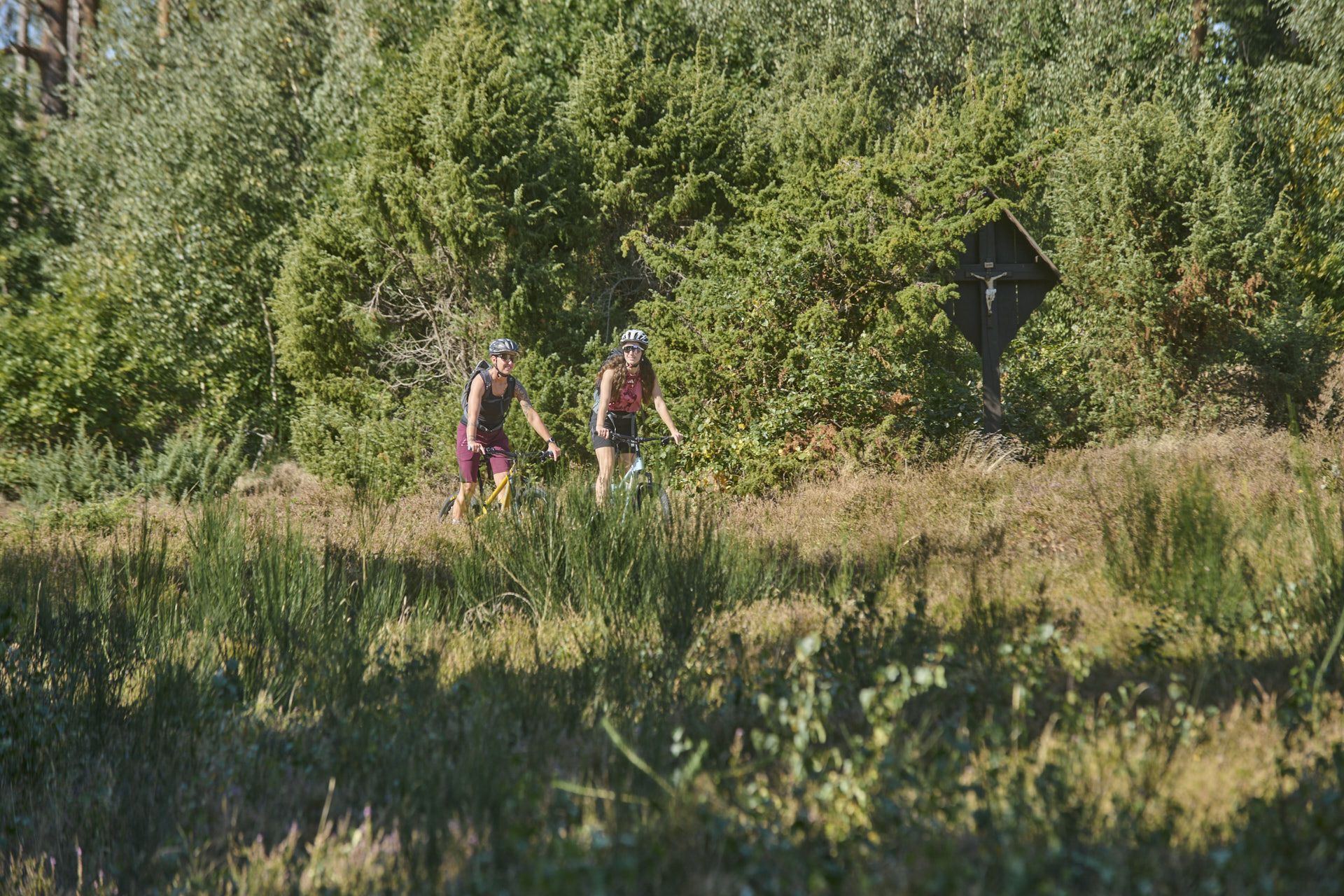
Nature, trails and local cuisine – MTB in the Spessart
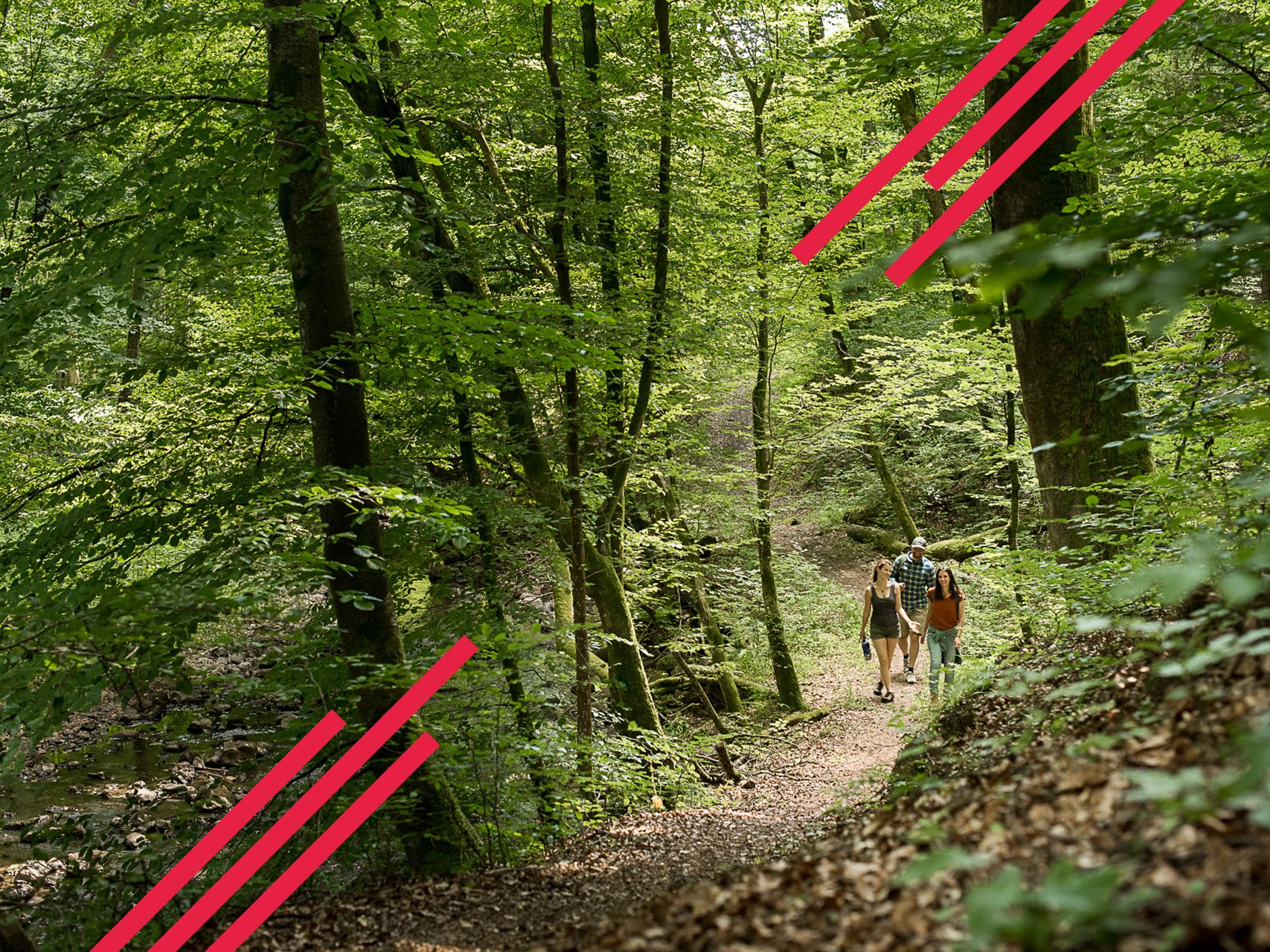
Relaxed hiking in the Spessart – short trails of discovery
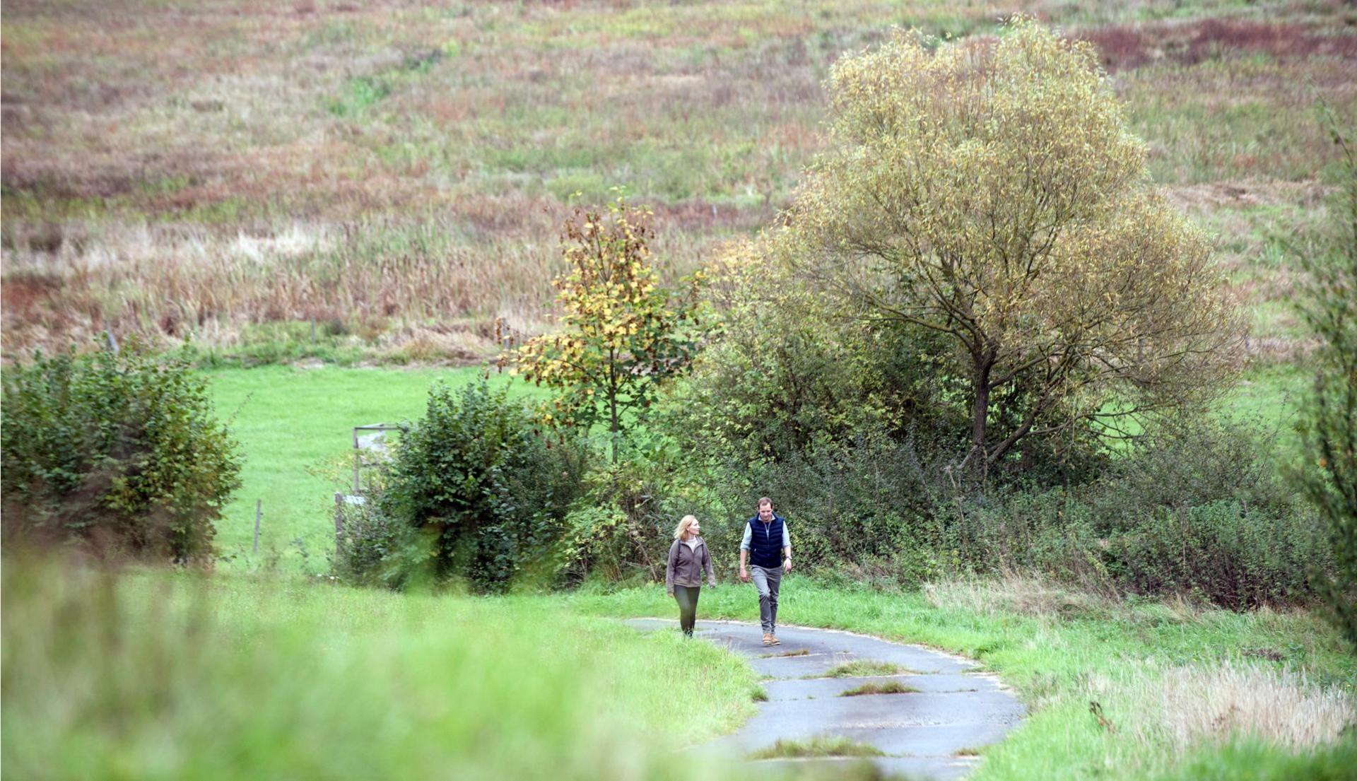
Pleasure hiking in the Spessart: trails that taste as good as they look

Winter adventures by public transport – hikes for the whole family

Thousands of kilometres of hiking fun – long-distance hiking trails in Bavaria
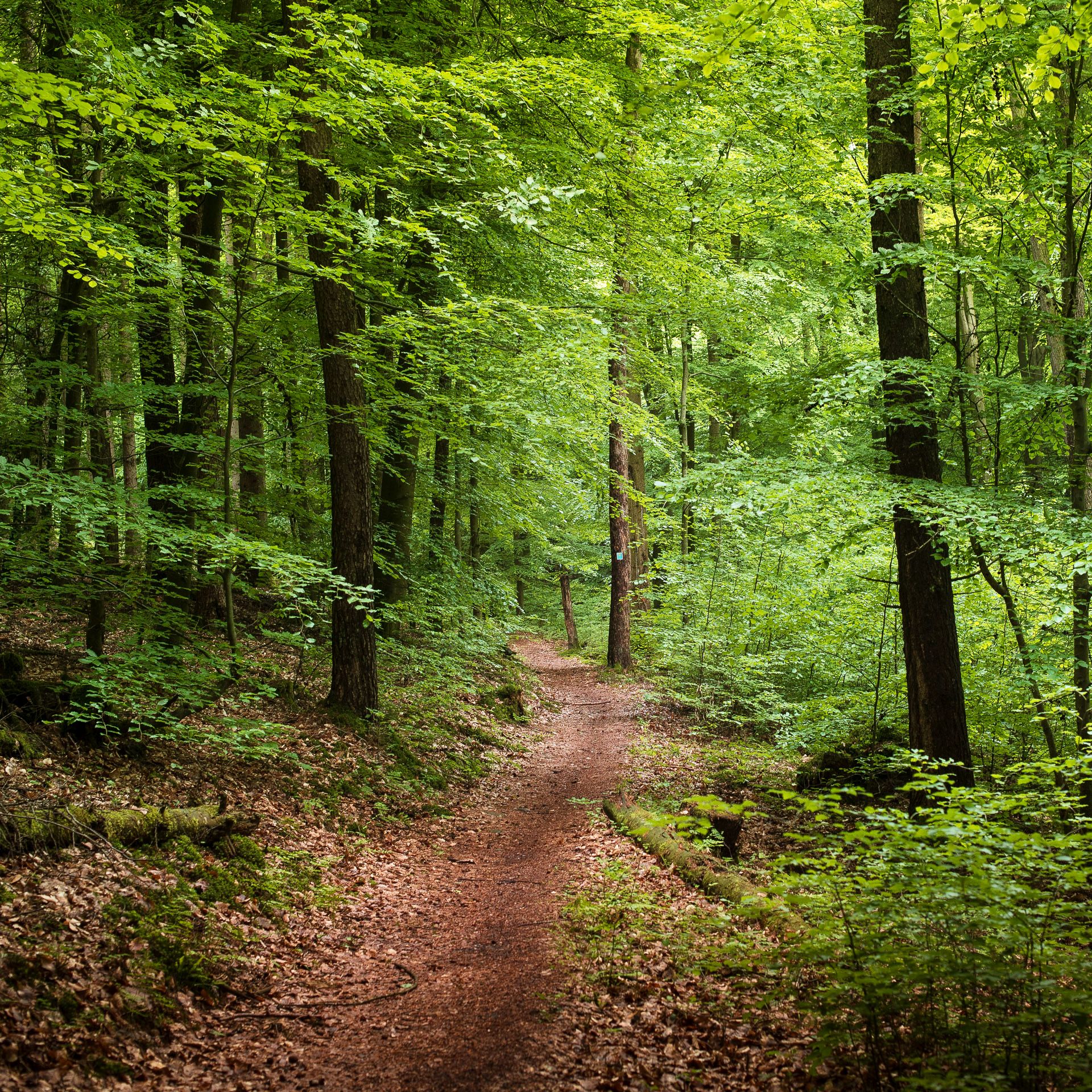
Endless forests, flowing trails – MTB in Germany’s Spessart region
Mountain biking in the Spessart – Awesome trails in Germany
ハイキングを通じてドイツの最も偉大な森の一つ - シュペッサルト 3
Mountain biking in the Spessart – Awesome trails in Germany

Wandern auf dem Spessartweg 3
バート・ゾーデン・サルミュンスターでのの他の冒険


コミュニティからのヒント


The Kinzig is a river approximately 86 kilometers long. It rises in Sterbfritz, flows southwest through the Main-Kinzig district of Hesse, and flows into the Main from the right in Hanau. The Kinzig is a second-order river in low mountain ranges. It overcomes an elevation of 301 meters and has a bed gradient of 3.5 per thousand. The Kinzig's catchment area covers 1,058 square kilometers, and the calculated mean discharge (MQ) at the mouth of the Kinzig is 10.97 cubic meters per second. The Kinzig was first documented in 796 as "iuxta fluvium Kincihen." In 815, the name was written as "Chinzicha," around 900 as "Kincicha"/"Kinzicham," in 1364 as "Kinzige," in 1584 as "Kintzig," in 1607 as "Bintz," in 1681 as "Kintz," in 1716 as "Kins," in 1769 as "Kinzing," and in 1802 as "Kinzig." In the river's headwaters, there was the now-defunct village of Kinzig, mentioned in 815 as "Chirizichheimero." The village and river were often confused by monastery scribes at that time with "Chizzicha" (now Bad Kissingen), both of which were described as being located in the Saalegau. The name presumably derives from the ancient Celtic *ku̯anti̯o- meaning "flat hill, valley." The name was therefore derived from the mountainous region from which the Kinzig flows. Source: Wikipedia
2
0

It is a great place to cycle all year round.
3
0

Beautiful man-made area that needs time to flourish... Great thing with the information material on the boards
15
0
Beautiful to look at… even if it was created by human hands
20
0

There are beautiful white water lilies on one of the moor ponds...
6
0

A nice little biotope with information boards and wooden walkway. Here you can discover many animals and plants. At the edge there are tables and benches to linger. Beautiful in every season. It's worth it.
5
0

The Kinzig is also used by the brave (not just children) to cool down. Very romantic.
4
0
バート・ゾーデン・サルミュンスターでのの人気観光スポット

komootモバイルアプリでインスピレーションを得よう


さらに探索
これらのガイドで、最高の洞窟を探す範囲を広げましょうバート・ゾーデン・サルミュンスターでの:
