ルート

プランナー

機能

アップデート

App

ログインまたはサインアップ

アプリを入手

ログインまたはサインアップ

ルート
サイクリングルート
ドイツ
ヘッセン
マイン・キンツィヒ・クライス

ハッセルロート

ハッセルロートのおすすめツーリングルート

4.6

(6174)

28,895

ライダー

32

ライド

ハッセルロート周辺でのおすすめのサイクリングルートを参考にして、このエリアを最大限に楽しみましょう。ここでご紹介するのは、ハッセルロート周辺の人気バイクライドです。ぜひ、自分に合ったルートを見つけてください。

最終更新日: 7月 16, 2026

4.6

(86)

324

ライダー

#1.

Niedermittlauから出発する キンツィヒシュテーク橋 – キンツィッヒゼーとルールゼー ループコース

48.3km

02:50

110m

110m

中程度の自転車ライド. ある程度のフィットネスレベルが必要です。 全般的に舗装された状態です。あらゆるスキルレベルに適しています。

デバイスでナビ

スマートフォンに送信

保存

中程度

初級者向けバイクライド. あらゆるフィットネスレベルに適しています。 全般的に舗装された状態です。あらゆるスキルレベルに適しています。

初級
guide_signup
私たちがkomootモバイルアプリで道を示します
無料の komoot アカウントがあれば、無限のアウトドアコースを簡単に見つけてカスタマイズし、ナビで案内できます。

無料新規登録

初級者向けバイクライド. あらゆるフィットネスレベルに適しています。 全般的に舗装された状態です。あらゆるスキルレベルに適しています。

初級

初級者向けバイクライド. あらゆるフィットネスレベルに適しています。 全般的に舗装された状態です。あらゆるスキルレベルに適しています。

初級

初級者向けバイクライド. あらゆるフィットネスレベルに適しています。 全般的に舗装された状態です。あらゆるスキルレベルに適しています。

初級
無料新規登録すると、ハッセルロートでのでのライドをさらに28件ご覧いただけます。

さらに多くのルートや他のユーザーのおすすめ情報を確認できます。

無料新規登録

すでにアカウントをお持ちですか?

おすすめのツアーは他のkomootユーザーが実際に経験した何千ものアクティビティに基づいています。

無料アカウントで今日から始めよう

次の冒険が待っています。

ログインまたは登録

ハッセルロート周辺で人気

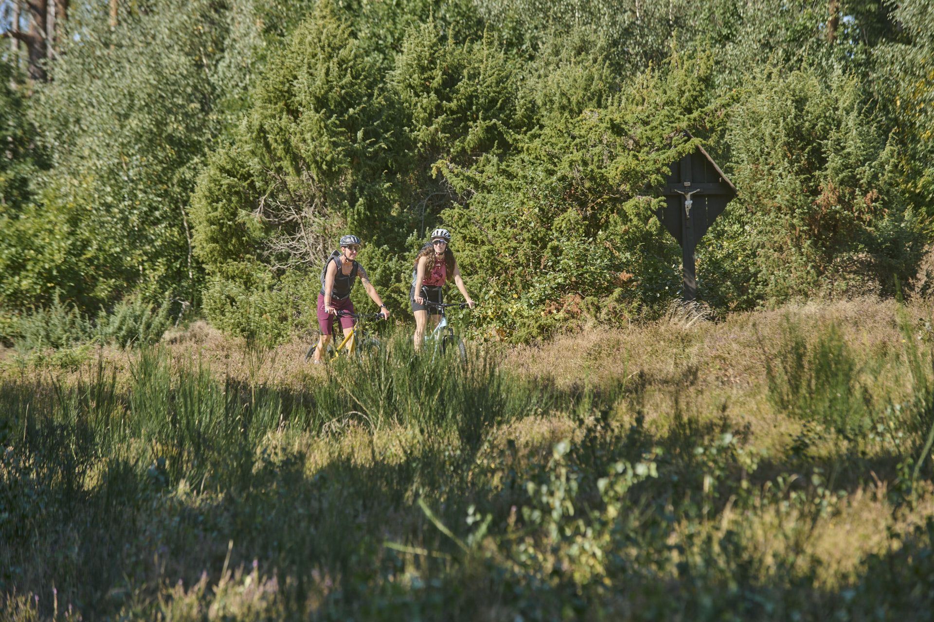
Nature, trails and local cuisine – MTB in the Spessart
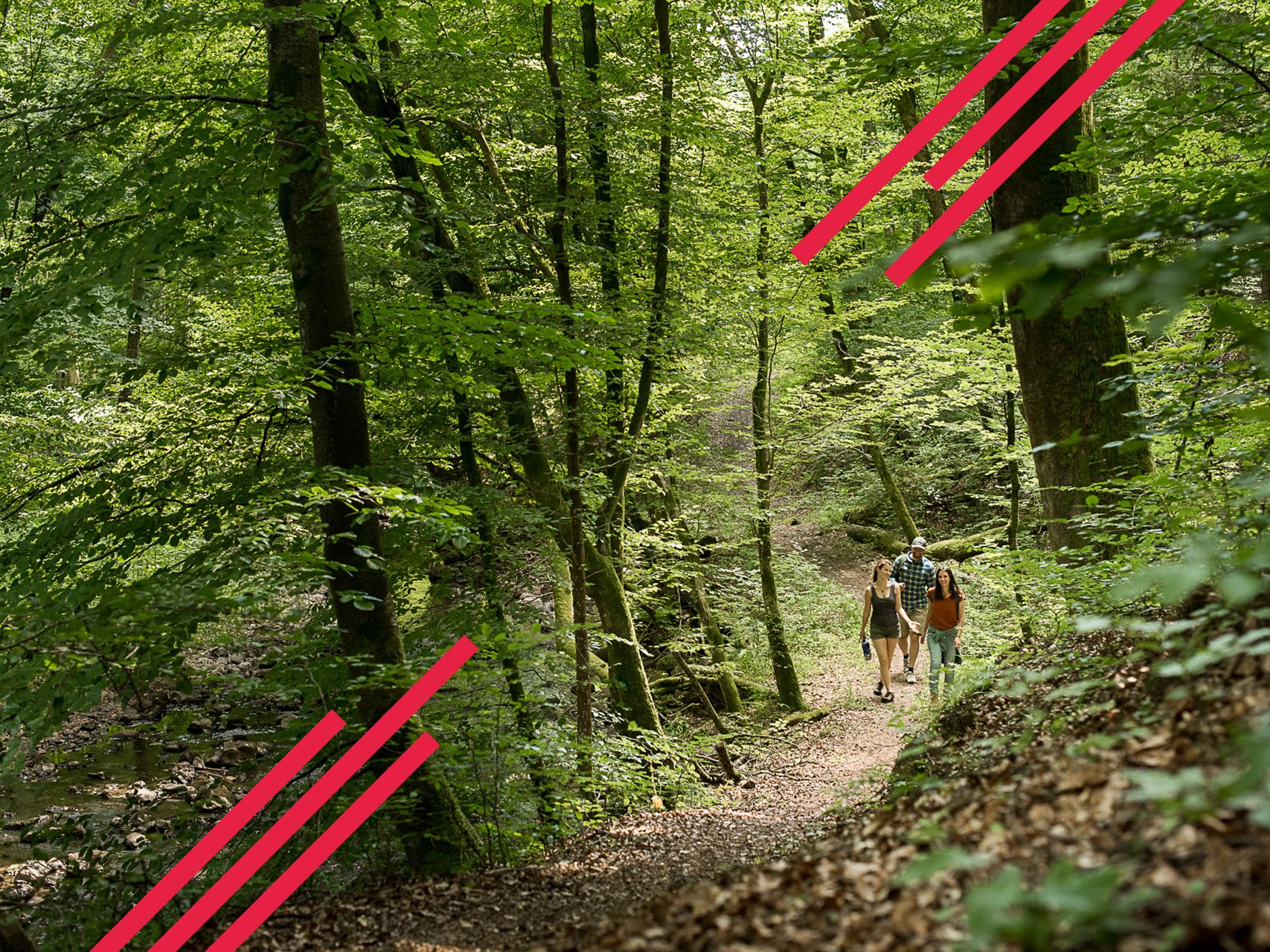
Relaxed hiking in the Spessart – short trails of discovery
Mountain biking in the Spessart – Awesome trails in Germany
Mountain biking in the Spessart – Awesome trails in Germany
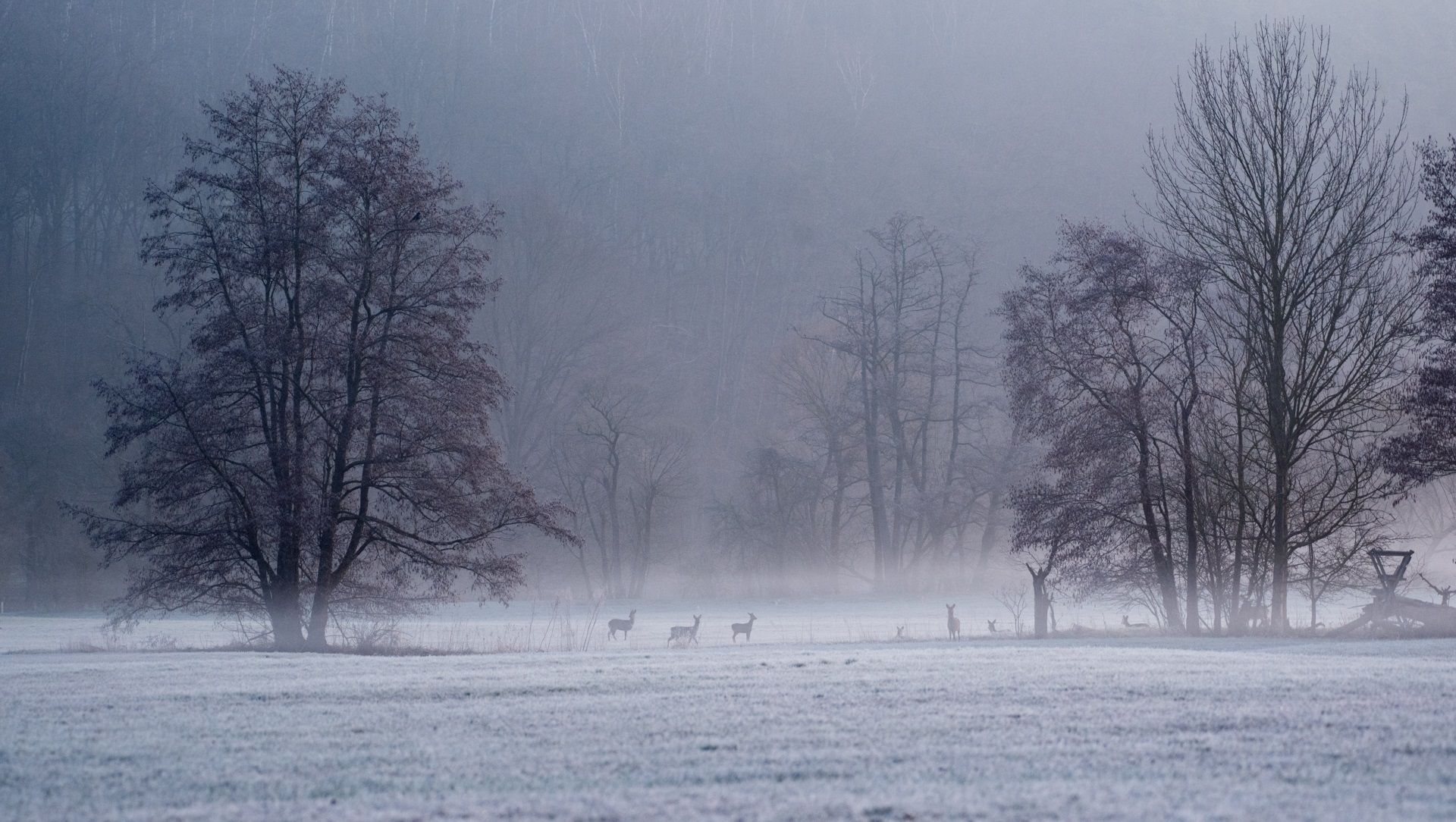
Die schönsten Winterwanderungen im Spessart
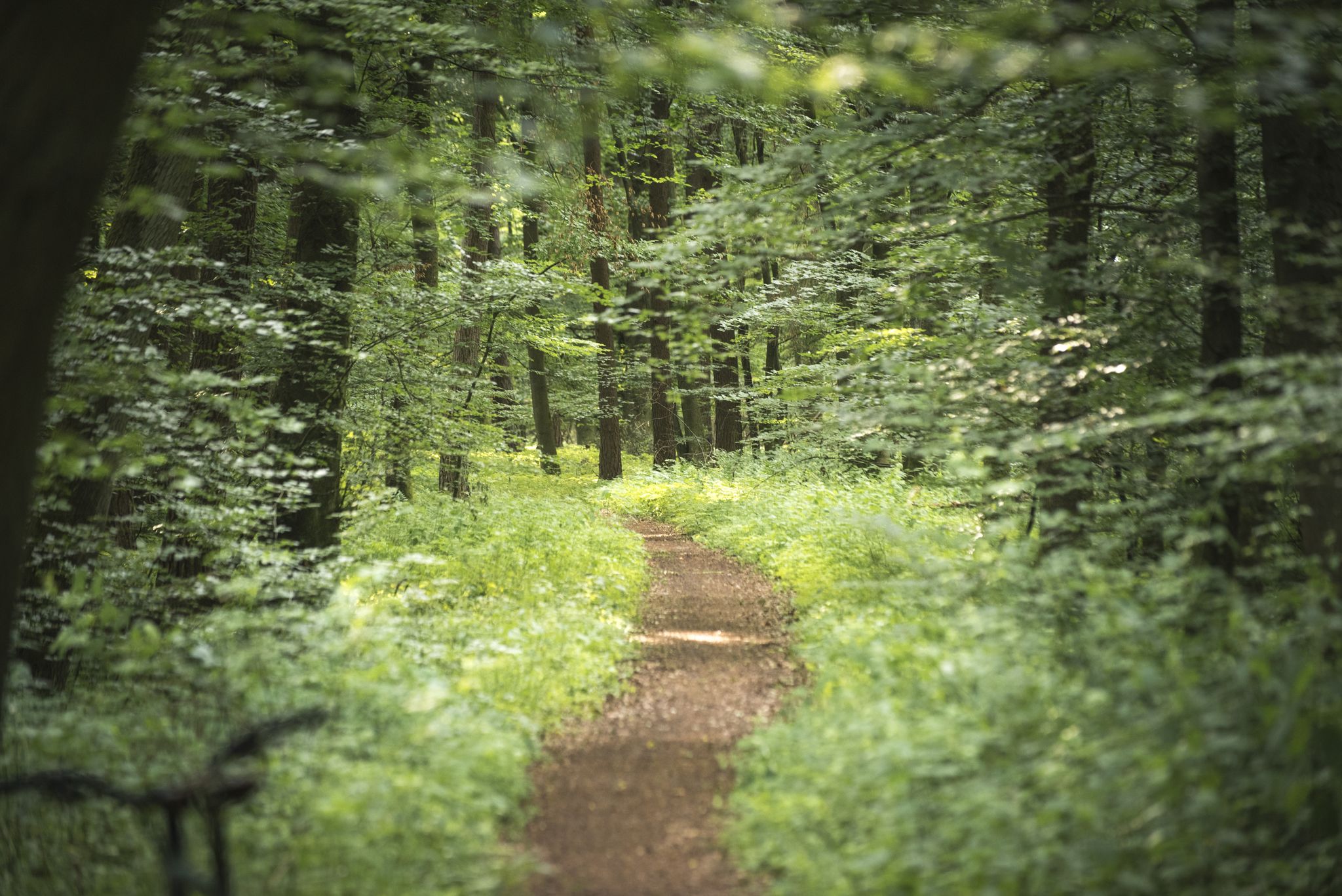
Die schönsten Premium-Spazierwanderwege im Hessischen Spessart
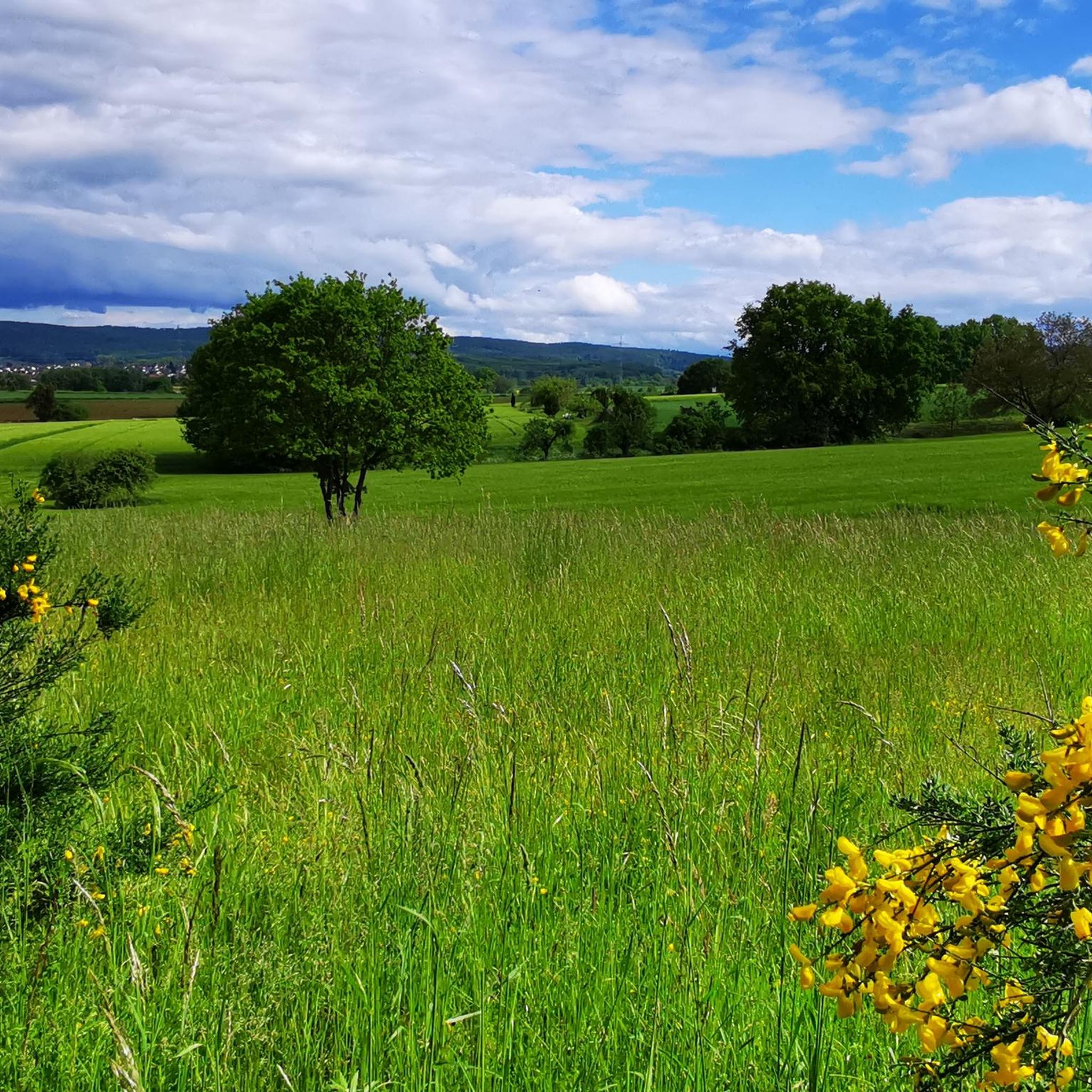
ハッセルロートでのハイキング
ハッセルロートのMTBトレイル
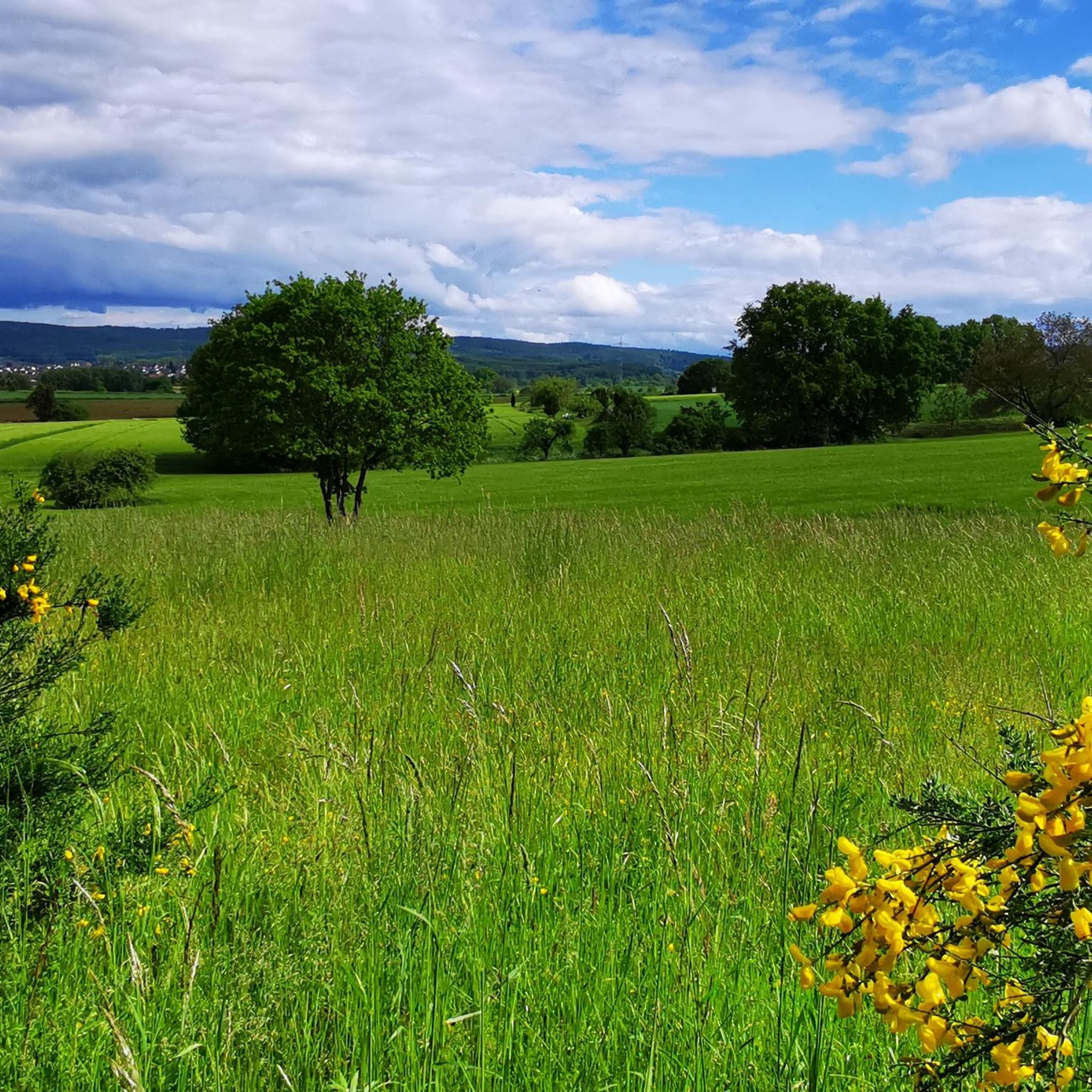
ハッセルロートのロードバイクルート
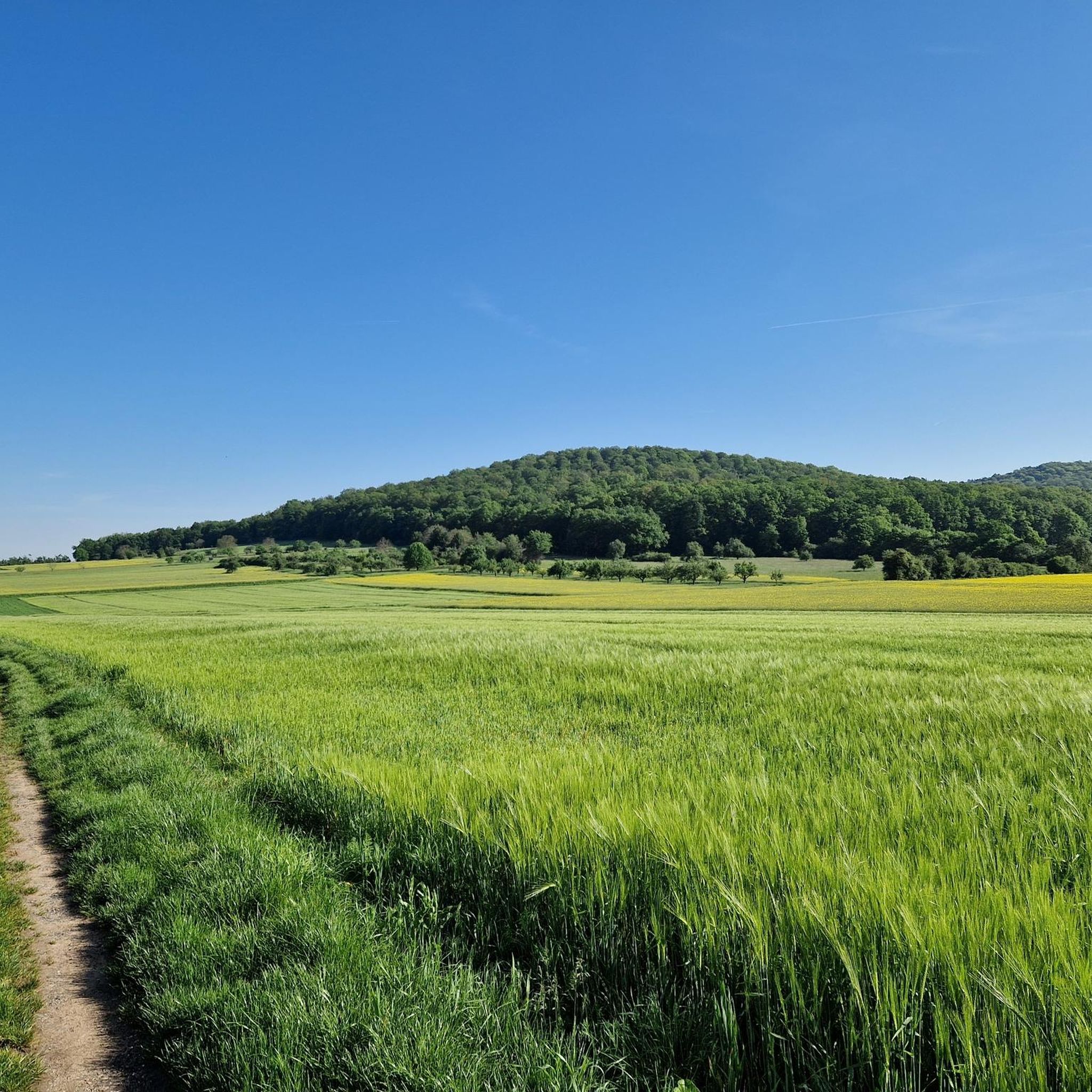
ハッセルロートのランニングコース

ハッセルロートでのの他の冒険

Nature, trails and local cuisine – MTB in the Spessart

マウンテンバイクのコレクション によって

visitspessart

コミュニティからのヒント

Udo Spessarträuber♠︎
4月 6, 2026, Langenselbold Airfield

タワーは現在無人です。

Google翻訳による翻訳

0

0

私はそこを通り過ぎました。

Google翻訳による翻訳

0

0

コウノトリがやってきます。

Google翻訳による翻訳

0

0

キンツィヒ川沿いの素晴らしいサイクリングロードです。

Google翻訳による翻訳

0

0

From here on, the riverside path on the right bank of the Kinzig is wildly romantic and beautiful.

Google翻訳による翻訳

0

0

The Kinzig is a river approximately 86 kilometers long. It rises in Sterbfritz, flows southwest through the Main-Kinzig district of Hesse, and flows into the Main from the right in Hanau. The Kinzig is a second-order river in low mountain ranges. It overcomes an elevation of 301 meters and has a bed gradient of 3.5 per thousand. The Kinzig's catchment area covers 1,058 square kilometers, and the calculated mean discharge (MQ) at the mouth of the Kinzig is 10.97 cubic meters per second. The Kinzig was first documented in 796 as "iuxta fluvium Kincihen." In 815, the name was written as "Chinzicha," around 900 as "Kincicha"/"Kinzicham," in 1364 as "Kinzige," in 1584 as "Kintzig," in 1607 as "Bintz," in 1681 as "Kintz," in 1716 as "Kins," in 1769 as "Kinzing," and in 1802 as "Kinzig." In the river's headwaters, there was the now-defunct village of Kinzig, mentioned in 815 as "Chirizichheimero." The village and river were often confused by monastery scribes at that time with "Chizzicha" (now Bad Kissingen), both of which were described as being located in the Saalegau. The name presumably derives from the ancient Celtic *ku̯anti̯o- meaning "flat hill, valley." The name was therefore derived from the mountainous region from which the Kinzig flows. Source: Wikipedia

Google翻訳による翻訳

2

0

The Kinzig is a river approximately 86 kilometers long. It rises in Sterbfritz, flows southwest through the Main-Kinzig district of Hesse, and flows into the Main from the right in Hanau. The Kinzig is a second-order river in low mountain ranges. It overcomes an elevation of 301 meters and has a bed gradient of 3.5 per thousand. The Kinzig's catchment area covers 1,058 square kilometers, and the calculated mean discharge (MQ) at the mouth of the Kinzig is 10.97 cubic meters per second. The Kinzig was first documented in 796 as "iuxta fluvium Kincihen." In 815, the name was written as "Chinzicha," around 900 as "Kincicha"/"Kinzicham," in 1364 as "Kinzige," in 1584 as "Kintzig," in 1607 as "Bintz," in 1681 as "Kintz," in 1716 as "Kins," in 1769 as "Kinzing," and in 1802 as "Kinzig." In the river's headwaters, there was the now-defunct village of Kinzig, mentioned in 815 as "Chirizichheimero." The village and river were often confused by monastery scribes at that time with "Chizzicha" (now Bad Kissingen), both of which were described as being located in the Saalegau. The name presumably derives from the ancient Celtic *ku̯anti̯o- meaning "flat hill, valley." The name was therefore derived from the mountainous region from which the Kinzig flows. Source: Wikipedia

Google翻訳による翻訳

1

0

キンツィヒ川は、全長約86キロメートルの川です。シュテルプフリッツに源を発し、ヘッセン州マイン=キンツィヒ郡を南西方向に流れ、ハーナウでマイン川に右岸から合流します。キンツィヒ川は二次的な低山地帯の川です。標高差301メートルを克服し、河床勾配は3.5パーミルです。キンツィヒ川の流域面積は1058平方キロメートルで、キンツィヒ川河口での計算上の平均流量(MQ)は毎秒10.97立方メートルです。 キンツィヒ川は、796年に「iuxta fluvium Kincihen」として初めて文書に記録されました。815年には「Chinzicha」、900年頃には「Kincicha」/「Kinzicham」、1364年には「Kinzige」、1584年には「Kintzig」、1607年には「Bintz」、1681年には「Kintz」、1716年には「Kins」、1769年には「Kinzing」、1802年には「Kinzig」と記されました。川の源流域には、現在では存在しないキンツィヒ村があり、815年には「Chirizichheimero」として記録されています。この村と川は、当時の修道院の書記たちによって、しばしば「Chizzicha」(現在のバート・キッシンゲン)と混同されていましたが、これらはすべてザーレガウに位置すると記されていました。 その名前は、おそらく「平坦な丘、谷」を意味する原ケルト語の *ku̯anti̯o- に由来すると考えられています。したがって、その命名は、キンツィヒ川が流れ出る山岳地帯にちなんだものです。 出典:Wikipedia

Google翻訳による翻訳

2

0

ハッセルロートでのの人気ルート

ハッセルロートでのハイキング

ハッセルロートでのの人気観光スポット

Places to see

Store rating

komootモバイルアプリでインスピレーションを得よう

無料のkomootアカウントがあれば、無限のアウトドアコースを簡単に見つけてカスタマイズし、ナビで案内できます。

または

今すぐkomootに参加しよう

Store rating

さらに探索

他の地域の最高のサイクリングルートを見てみましょう。

Naturpark Hessischer Spessartハーナウゲルンハウゼンニッデラウバートオルプランゲンゼルボルトジンタールマインタールフライゲリヒトブルーフケーベルグーツベツィルクスペサートシェーネックヴェヒタースバッハバート・ゾーデン・サルミュンスターWeideswiesen-Oberwald Bei ErlenseeグリュンダウシュタイナウアンデアシュトラーセビーバーゲミュントグロースクロッツェンブルクヨスグルントKinzigtalsperreエルレンゼーシュリュヒテルンニーダードルフェルデンブラウブラハトタールビルシュタインフレールスバッハタールErlensee Bei ErlenseeハンマースバッハロンネブルクリンゼンゲリヒトBruchköbelノイバーグForst Aurora

近くのアドベンチャーガイド

フライゲリヒトでやるべきこと

background

新しいピークを征服する準備をしよう

無料でサインアップ

探検する
ルートルートプランナー機能ハイキングMTBトレイルロードバイクルートバイクパッキングサイトマップ
アプリをダウンロード
SNSでフォローする

© komoot GmbH

プライバシーポリシー