Timeline
Sara Hallbauer and Tölzer Land planned a gravel ride
November 29, 2024
Time
Distance
Speed
Ascent
Descent
Sara Hallbauer and Tölzer Land planned a gravel ride
November 29, 2024
Time
Distance
Speed
Ascent
Descent
May 3, 2023
I start this tour at the train station in Bad Tölz. From here, it goes through the town and up to Wackersberg, one of the most idyllic villages at the foot of Blomberg, Zwiesel and Heigelkopf. The small climb at the beginning of the tour is definitely worth it, because the old, rustic farmhouses with
Translated by Google •
Sara Hallbauer and Tölzer Land planned a gravel ride
August 28, 2024
Time
Distance
Speed
Ascent
Descent
May 3, 2023
This tour is the absolute classic of this collection - an absolute "must-do" that should not be missing on any list of gravel routes. A day awaits you on the most beautiful forest and forest paths with a wonderful view of the Wetterstein and Karwendel mountains.
We start the tour at the train station
Translated by Google •
Sara Hallbauer and Tölzer Land planned a mountain bike ride
July 27, 2024
Time
Distance
Speed
Ascent
Descent
May 3, 2023
This tour is not called "Gravel Deluxe" for nothing, because it is the absolute highlight of all gravel routes in the Oberland. It leads over 86 kilometers and 1,130 meters in altitude from Lenggries to the local highlights Walchensee and Sylvensteinspeicher on the most beautiful gravel paths that the
Translated by Google •
Sara Hallbauer and Tölzer Land planned a gravel ride
July 27, 2024
Time
Distance
Speed
Ascent
Descent
May 2, 2023
This tour shows you lesser-known but all the more beautiful sides of the Tölzer Land over a distance of around 34 kilometers - and even takes me past some filming locations of the cult series "Hubert and/without Staller". There are 220 vertical meters to overcome, which are easy to manage due to the
Translated by Google •
Sara Hallbauer and Tölzer Land planned a gravel ride
July 27, 2024
Time
Distance
Speed
Ascent
Descent
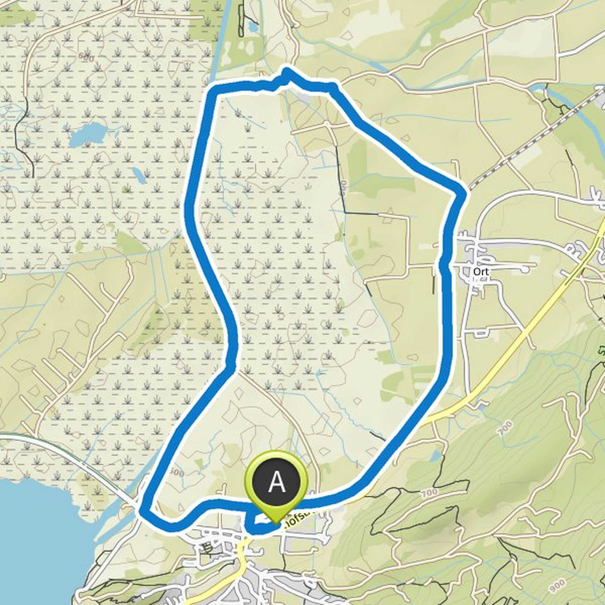
May 2, 2023
At 43 kilometers and only 380 meters in altitude, this tour is perfect for anyone who wants to start a little excursion in the afternoon or after work in the Tölzer Land. Because the "Eurasburger Gravel Gmoa Runde" offers everything so that Gravel fans get their money's worth.
I start at the S-Bahn station
Translated by Google •
Sara Hallbauer and Tölzer Land planned a gravel ride
July 27, 2024
Time
Distance
Speed
Ascent
Descent
May 3, 2023
It consecrates - because on this 60-kilometer gravel tour we drive along the Isar and past some beautifully situated ponds.
Let's start at the S-Bahn station in Icking. From there we let ourselves roll down steeply to the banks of the Isar. The track leads over the bridge of the Isar canal and we've already
Translated by Google •
Tölzer Land planned a hike
November 25, 2021
Time
Distance
Speed
Ascent
Descent

Walkingmachin and Bergfex Falk 🥾⛰️🥾🏔 like this.
November 25, 2021
Nice hike past old farms to a boggy plateau with streams. From there you have the opportunity to visit the so-called peasant rest with the natural monument "Große Tann".
From the parking lot on Karwendelstraße via Maria-Anna-Weg the path leads to Hohenburg. From there it goes on to Mühlbach, past the
Translated by Google •
Tölzer Land planned a hike
November 25, 2021
Time
Distance
Speed
Ascent
Descent

Walkingmachin and Bergfex Falk 🥾⛰️🥾🏔 like this.
November 25, 2021
Wolfratshausen is surrounded by rivers: Loisach, Isar and Loisach-Isar Canal - all three rivers have their charm and can be combined with a circular route on a hike.
Rivers have always shaped the rafting town of Wolfratshausen. While the Loisach slowly flows through the city center, the Loisach-Isar Canal
Translated by Google •
Tölzer Land planned a hike
November 25, 2021
Time
Distance
Speed
Ascent
Descent

Walkingmachin and Bergfex Falk 🥾⛰️🥾🏔 like this.
November 25, 2021
Flat circular route without shade through the Loisach-Kochelsee moor with a wonderful mountain view of Benediktenwand, Herzogstand and Heimgarten.
At the monastery parking lot, follow the signs "Moosrundweg 2" towards west into the Loisach-Kochelsee-Moor. You follow an avenue, pass the adventure biotopes
Translated by Google •
Tölzer Land planned a hike
November 25, 2021
Time
Distance
Speed
Ascent
Descent

Walkingmachin and Bergfex Falk 🥾⛰️🥾🏔 like this.
November 25, 2021
From the mountain station of the Blombergbahn you hike left towards Wackersberger Alm. Past the Alm, continue to the summit of the Heiglkopf. There you have the opportunity to take a break and enjoy the great view. Now it's the same way back to the mountain station.
From there it continues in the direction
Translated by Google •
Tölzer Land planned a hike
November 25, 2021
Time
Distance
Speed
Ascent
Descent

Walkingmachin, Bergfex Falk 🥾⛰️🥾🏔 and Langer Maria like this.
November 25, 2021
The circular hike begins at the hikers' car park next to the Kursaal and the guest information desk and first leads down to the Ramsau district. From there, if there is little snow, a worthwhile detour to the lookout point is possible. To do this, follow the signs to the right behind the inn. Otherwise
Translated by Google •
Tölzer Land planned a hike
October 22, 2021
Time
Distance
Speed
Ascent
Descent

Bergfex Falk 🥾⛰️🥾🏔 likes this.
October 22, 2021
We start this day gate, which requires a good physical condition, at the guest's house. First it goes in a westerly direction, always gently rising over Wörnern to the Buchberg. The first small “peak” at over 800 m altitude already offers a beautiful view.
Now you have to be careful, because the signs
Translated by Google •
Tölzer Land planned a hike
October 22, 2021
Time
Distance
Speed
Ascent
Descent

Bergfex Falk 🥾⛰️🥾🏔 likes this.
October 22, 2021
High trail with shady passages through the forest and small climbs to Kochel a. See, from there along the Loisach on a sunny, flat path back to Benediktbeuern.
At the western end of the alpine hot pool, take the meadow path, past the pool's diving facility, and follow it to the farms on the Pfisterberg
Translated by Google •
Tölzer Land planned a hike
October 22, 2021
Time
Distance
Speed
Ascent
Descent
Walkingmachin and Bergfex Falk 🥾⛰️🥾🏔 like this.
October 22, 2021
An easy circular route through the Loisach-Kochelsee-Moor with a view of the surrounding mountains. The tour leads through the species-rich bird sanctuary and along the Loisach.
From Kochel a. See, the path first leads towards the center of the village and then right into Friedzaunweg. Follow this bend
Translated by Google •
May 2, 2023
This route leads from Bad Tölz via Kirchsee to Dietramszell and from there back to Tölz.
It starts at the train station in Bad Tölz. At 33 kilometers, this tour is a perfect after-work tour, true to the motto "short but sweet". First I drive out of town and up the small incline on the road in the direction
Translated by Google •