Timeline
Pension Fernblick planned a hike
August 23, 2024
Time
Distance
Speed
Ascent
Descent
Christine likes this.
Pension Fernblick planned a hike
November 24, 2020
Time
Distance
Speed
Ascent
Descent
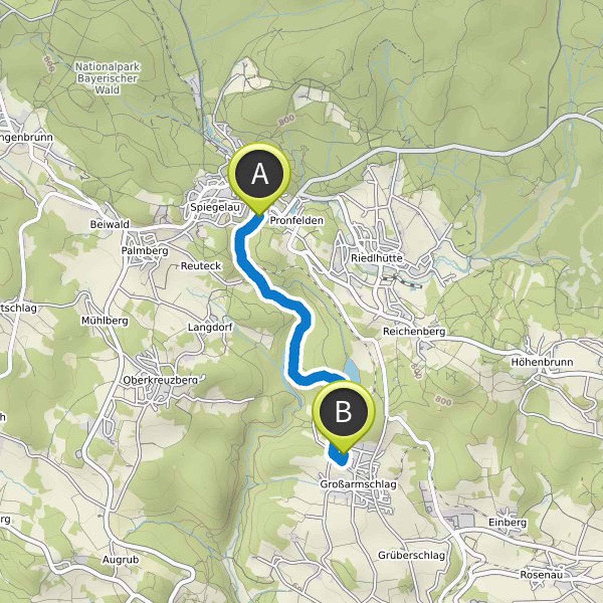
November 25, 2020
The starting point of this short and relaxed hike through the Steinklamm is on the outskirts of Spiegelau. The journey from your accommodation Pension Fernblick takes about ten minutes. From the parking lot you follow the Große Ohe to the south and soon dive into the forest.
Rushing and babbling, the
Translated by Google •
Pension Fernblick planned a hike
November 24, 2020
Time
Distance
Speed
Ascent
Descent
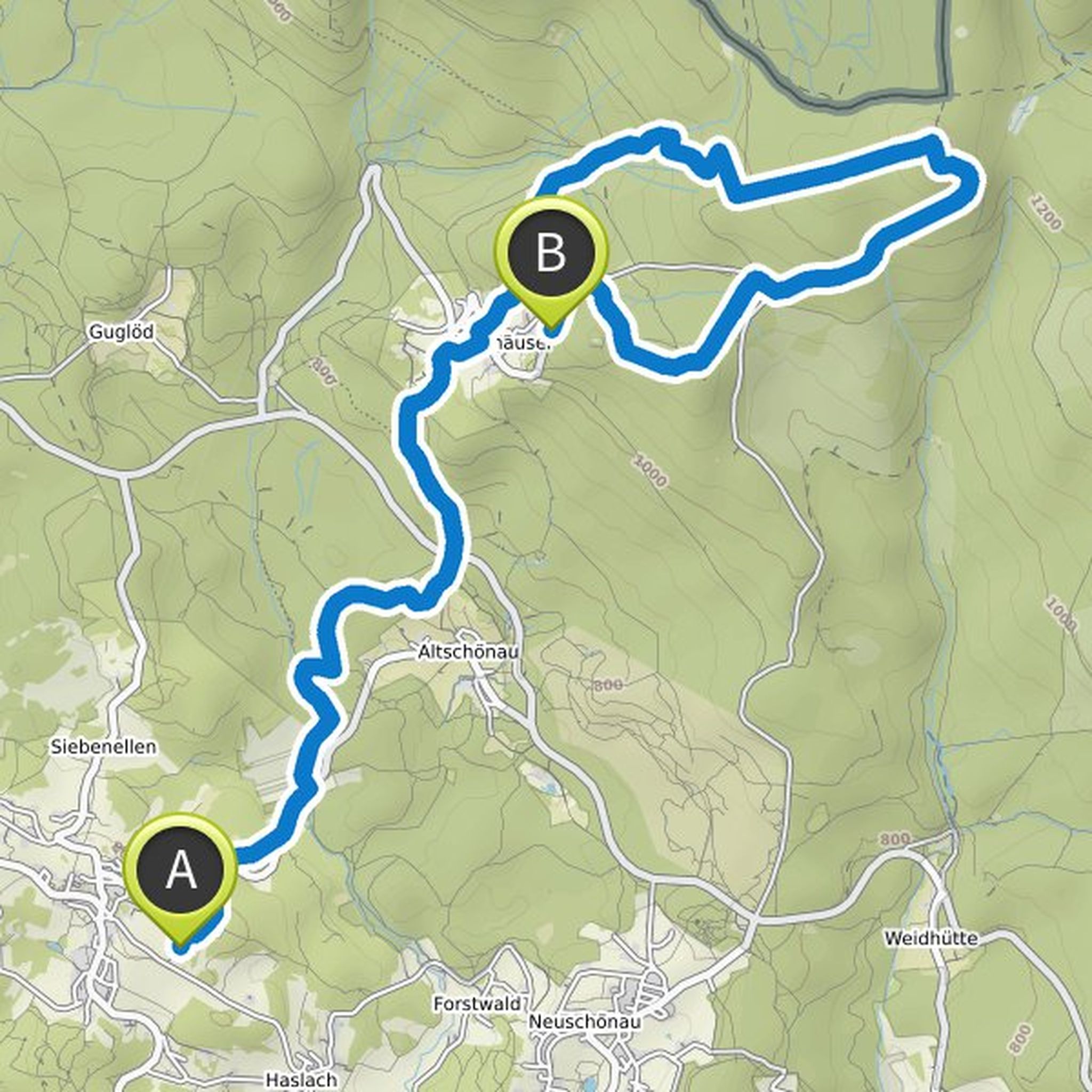
November 25, 2020
This varied tour starts right at your accommodation. From the Pension Fernblick outside of Sankt Oswald, you hike to the banks of the Kleine Ohe and follow its course a little north. On soft forest paths, it goes through the idyllic mixed forest of the Bavarian Forest National Park. After three kilometers
Translated by Google •
Pension Fernblick planned a hike
November 24, 2020
Time
Distance
Speed
Ascent
Descent
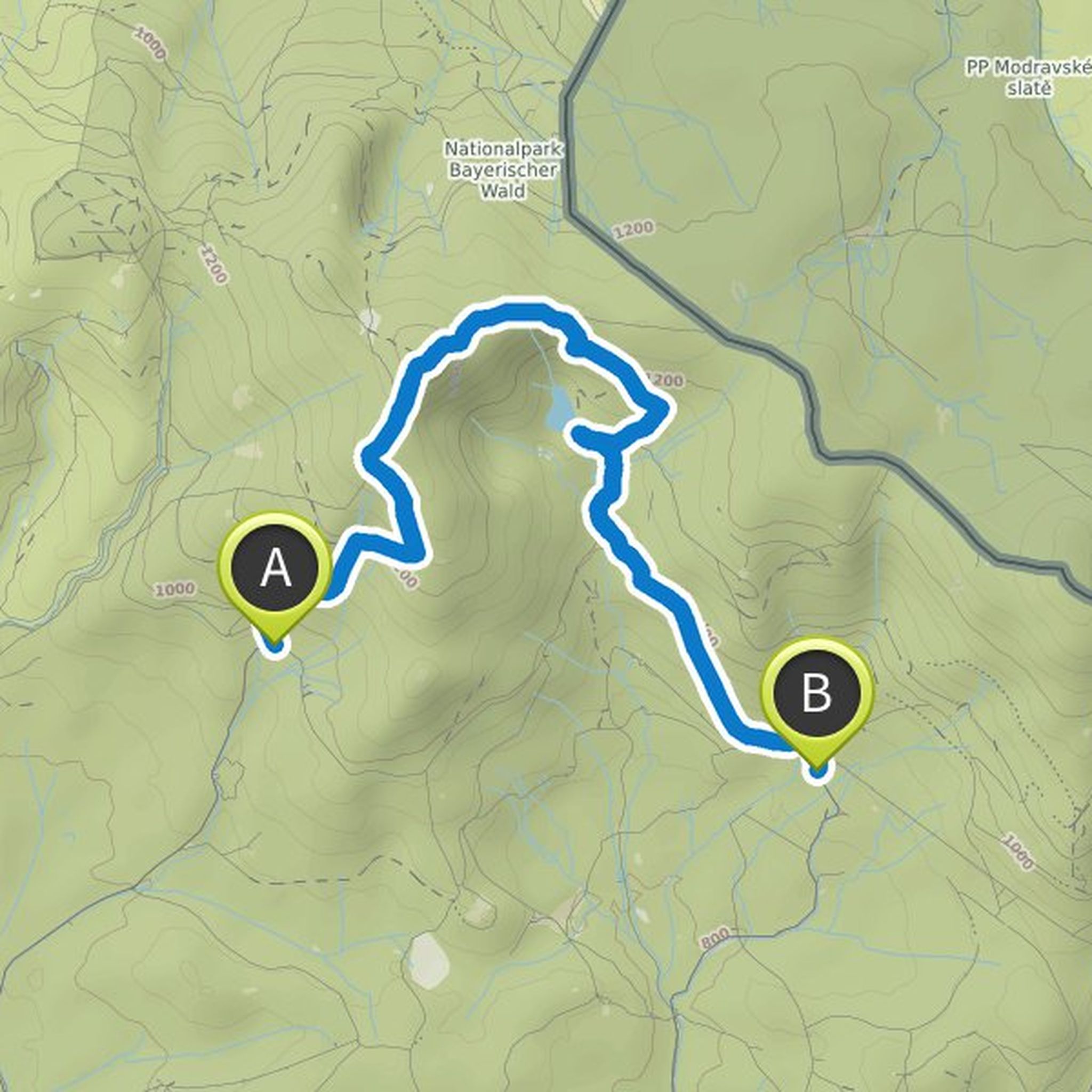
November 25, 2020
You start at the Gfung car park at the end of Schwarzachstrasse. The journey from your accommodation takes about twenty minutes. The ascent to the Great Rachel, the highest mountain in the Bavarian Forest National Park, already begins. It's a crisp uphill through the forest. Soon you will pass the Lieselbrunn
Translated by Google •
Pension Fernblick planned a hike
November 24, 2020
Time
Distance
Speed
Ascent
Descent
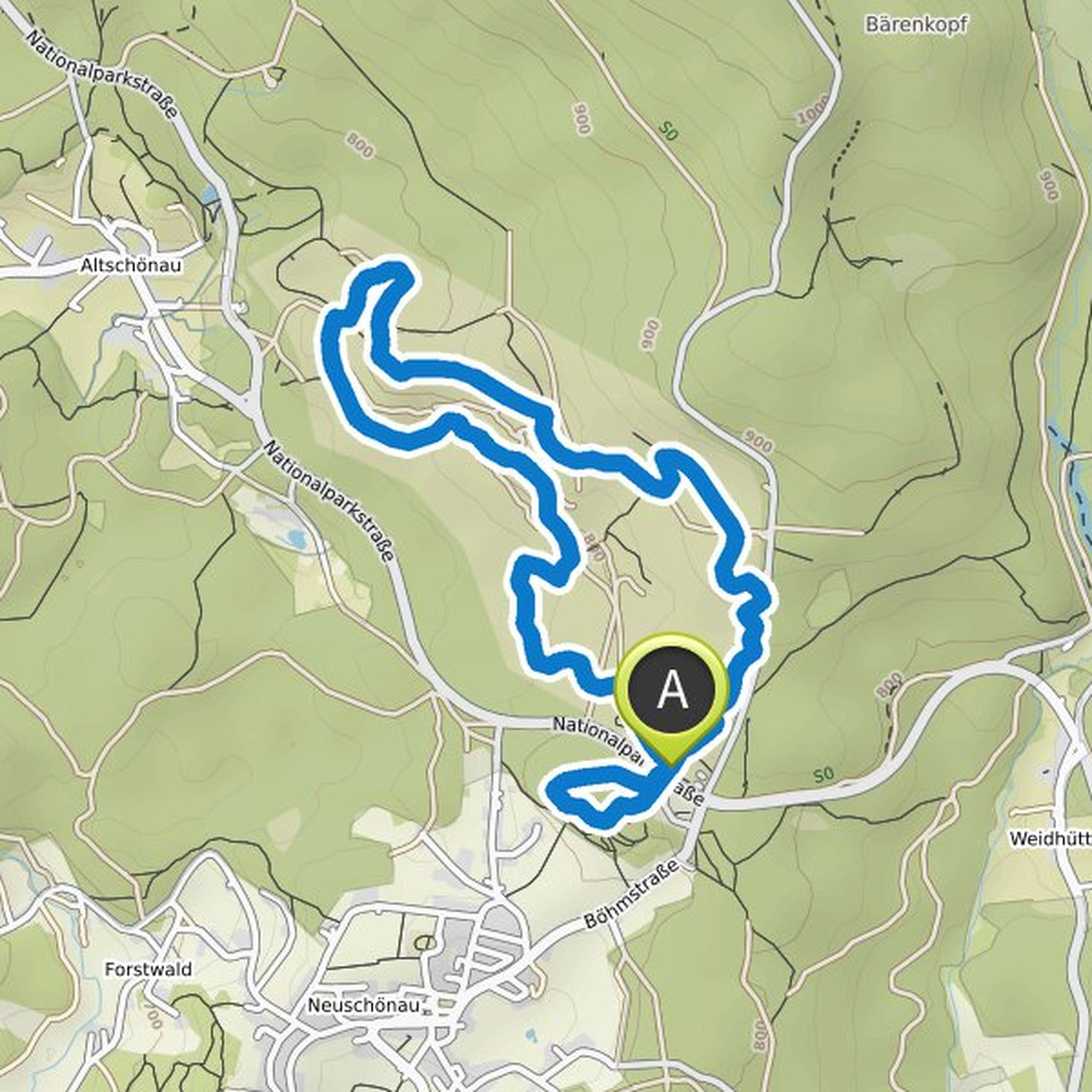
November 25, 2020
This animal round starts at the parking lot of the Lusen National Park Center, which you can reach in just ten minutes by car from the Fernblick guesthouse. Alternatively, the GUTi buses will bring you there directly from Sankt Oswald.
First you take a lap on the impressive treetop path, which opens up
Translated by Google •
November 25, 2020
This circular hike to the wet meadows of Klosterfilz ’starts right at the Fernblick guesthouse. From your accommodation you hike to Sankt Oswald, where you can take a detour to the Hoher Stein natural monument. Through the northern foothills of the national park town you follow the course of this tour
Translated by Google •