Timeline
Hachenburger Westerwald planned a hike
August 5, 2021
Time
Distance
Speed
Ascent
Descent

Hannah Bauer, Torsten Schmidt and Christina like this.
Hachenburger Westerwald planned a hike
August 5, 2021
Time
Distance
Speed
Ascent
Descent

Hannah Bauer, Torsten Schmidt and Christina like this.
August 5, 2021
Note: This circular route is not signposted. A precise route description as well as the GPX data can be viewed on the homepage of the Limbach cultural and transport association.
We start at the Haus des Gastes in Limbach and soon reach the publicly accessible, medieval roof slate pit Assberg, where we
Translated by Google •
Hachenburger Westerwald planned a hike
August 5, 2021
Time
Distance
Speed
Ascent
Descent

Hannah Bauer, Torsten Schmidt and Christina like this.
August 5, 2021
Note: This circular route is not signposted. A precise route description as well as the GPX data can be viewed on the homepage of the Limbach cultural and transport association.
Starting from the Haus des Gastes in Limbach, we cross the Kleine Nister over the old Limbach stone arch bridge and then pass
Translated by Google •
Hachenburger Westerwald planned a hike
August 5, 2021
Time
Distance
Speed
Ascent
Descent

Hannah Bauer, Torsten Schmidt and Christina like this.
August 5, 2021
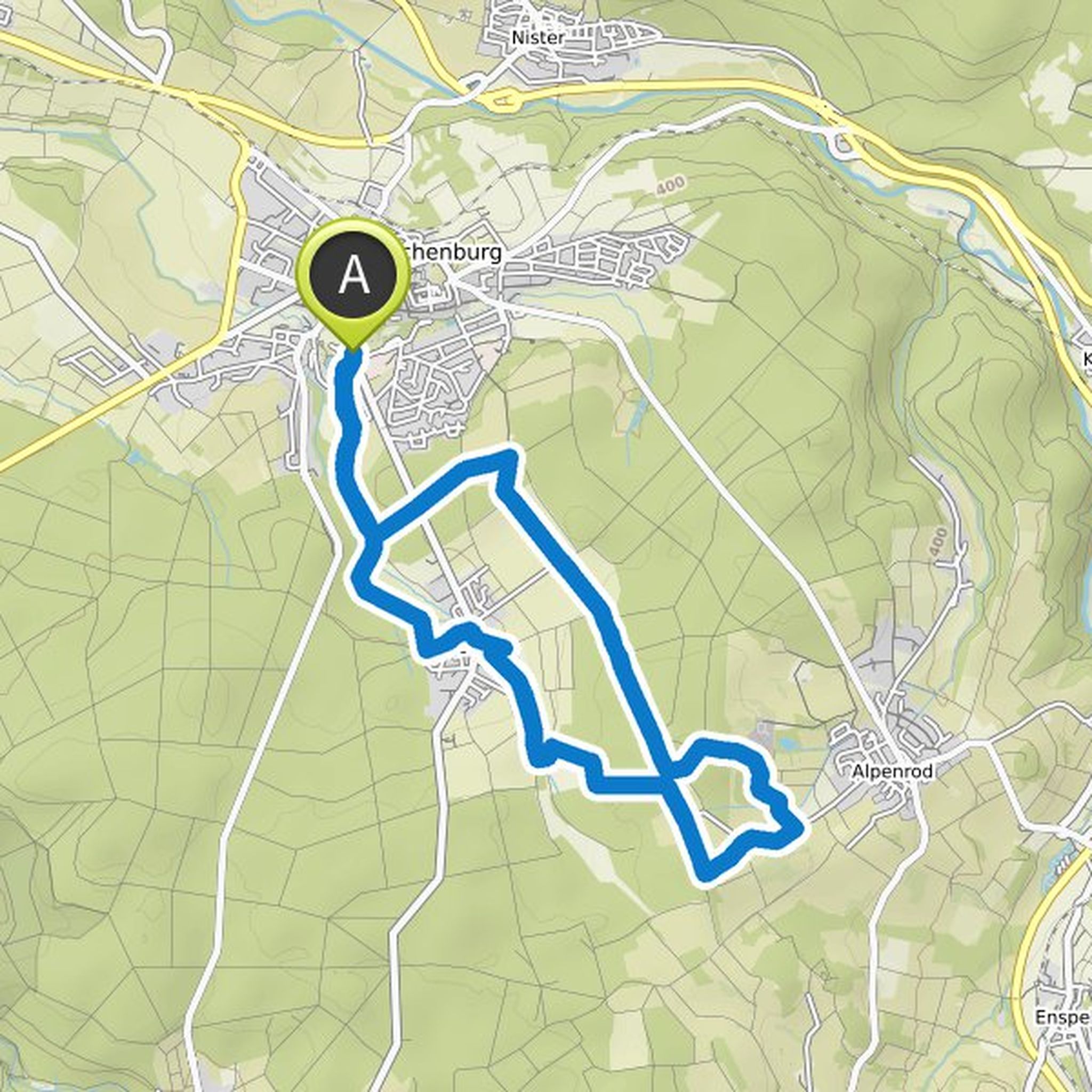
From the tourist information office in Hachenburg, located in the historic town hall, we cross the magnificent old market with its half-timbered houses, which are under monument protection, and the fountain with the Golden Lion in the middle of the square. The lion with the double tail is part of the
Translated by Google •
Hachenburger Westerwald planned a hike
August 3, 2021
Time
Distance
Speed
Ascent
Descent

Hannah Bauer, Torsten Schmidt and Christina like this.
August 4, 2021
We start our little walk at the grounds of the Cistercian Abbey in Marienstatt. This abbey was founded in 1222 by Cistercian monks in the valley of the Great Nister and is still a holy place and a spiritual center of the Hachenburg Westerwald.
The environment is shaped by the centuries-old history of
Translated by Google •
Hachenburger Westerwald and Westerwald - Die Urlaubsregion planned a hike
June 19, 2021
Time
Distance
Speed
Ascent
Descent
June 19, 2021
At around six kilometers, the End of the World nature trail seems like a walk, but this tour requires surefootedness and a head for heights. Some sections of this tour have an alpine character, because it is not for nothing that the region is also referred to as Kroppacher Switzerland.
The tour of the
Translated by Google •
Hachenburger Westerwald and Westerwald - Die Urlaubsregion planned a hike
June 19, 2021
Time
Distance
Speed
Ascent
Descent
June 19, 2021
The start and end of this circular route is the Steinen forest playground. The 13-kilometer circular route starts from here and takes you past some interesting and exciting bodies of water. There are great views of the glittering lakes and ponds and the surrounding area. Due to the large number of stagnant
Translated by Google •
Hachenburger Westerwald and Westerwald - Die Urlaubsregion planned a hike
June 19, 2021
Time
Distance
Speed
Ascent
Descent
June 19, 2021
You can walk in the footsteps of water on the water adventure trail. On the approximately twelve-kilometer circular route, display boards explain the importance of water here in the Hachenburg region to the visitor. And finally, you can have a beer at the Hachenburg brewery. Of course, the water for
Translated by Google •
August 13, 2021
Note: This circular route is not signposted with its own logo. We follow the signs for the 7-pond hiking trail.
Let's explore the realm of the great crested grebes, gray herons and coots together.
We start our short hike at the "Haus am See" campsite in Steinebach a.d. We start walking to the left along
Translated by Google •