Timeline
Caromaxeboscaille and Alexander Poch planned a hike
March 2, 2026
Time
Distance
Speed
Ascent
Descent
Caromaxeboscaille planned a hike
May 25, 2025
Time
Distance
Speed
Ascent
Descent
Caromaxeboscaille and Familie Becker planned a hike
November 8, 2024
Time
Distance
Speed
Ascent
Descent
Caromaxeboscaille planned a hike
July 29, 2023
Time
Distance
Speed
Ascent
Descent
Caromaxeboscaille planned a hike
July 29, 2023
Time
Distance
Speed
Ascent
Descent
Caromaxeboscaille planned a hike
June 1, 2023
Time
Distance
Speed
Ascent
Descent
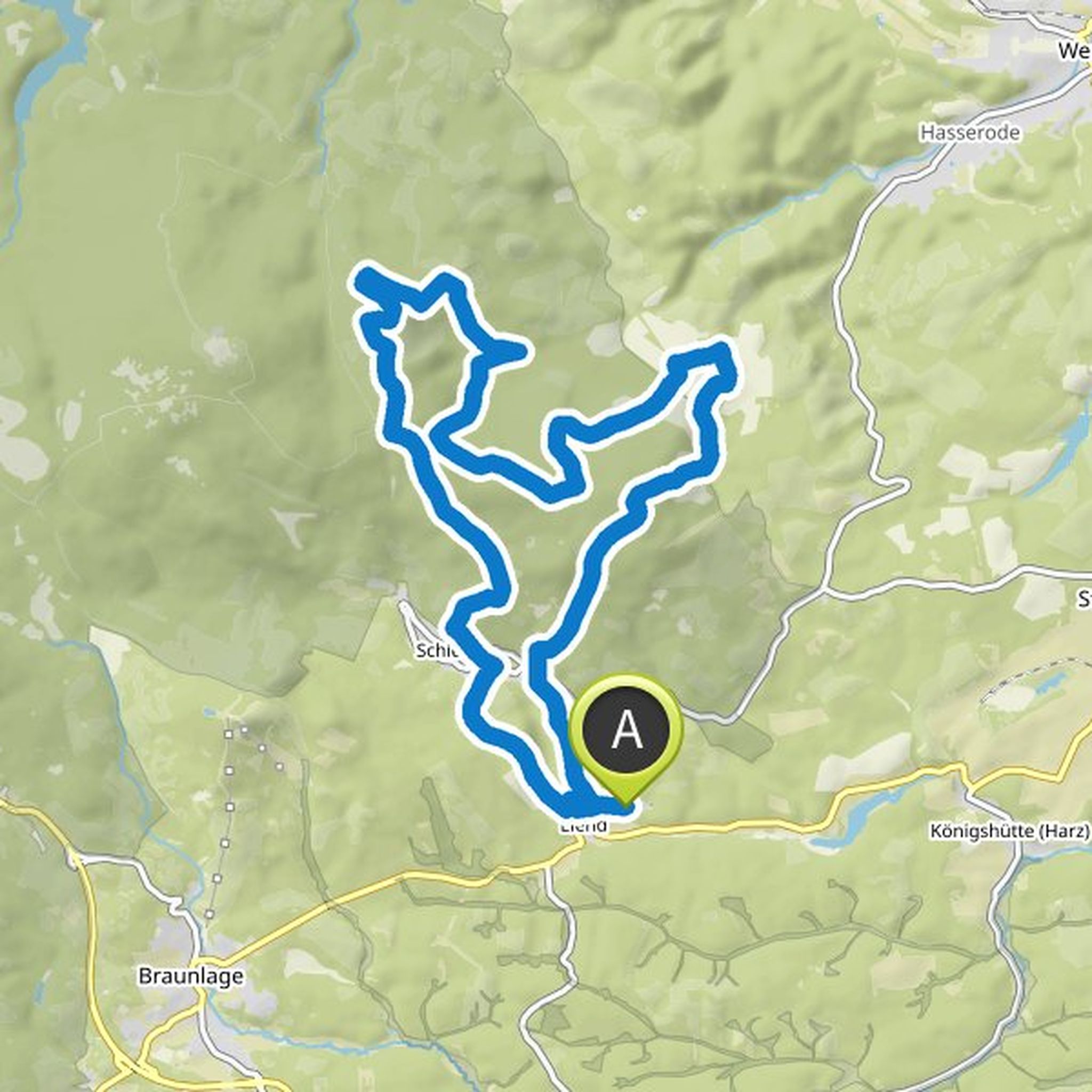
Dogtrekking HARZ and others planned a hike
January 12, 2018
Time
Distance
Speed
Ascent
Descent
Caromaxeboscaille planned a hike
February 5, 2016
Time
Distance
Speed
Ascent
Descent
Hiking Phoenix likes this.
Caromaxeboscaille planned a hike
February 3, 2016
Time
Distance
Speed
Ascent
Descent
Caromaxeboscaille planned a hike
February 18, 2015
Time
Distance
Speed
Ascent
Descent
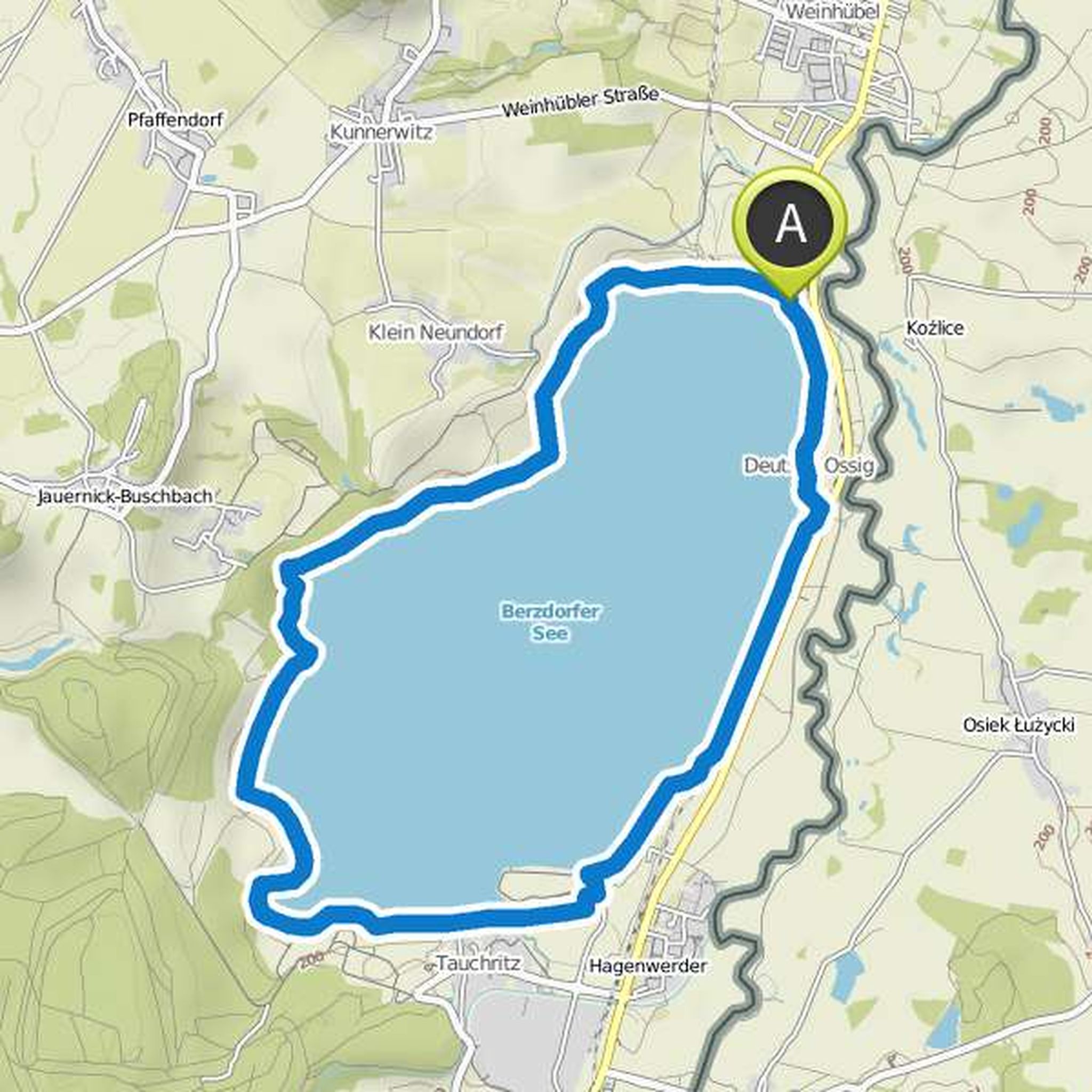
Caromaxeboscaille planned a hike
January 25, 2015
Time
Distance
Speed
Ascent
Descent
January 25, 2015
a lot of asphalt, many free-roaming dogs for Sunday
Translated by Google •
Caromaxeboscaille planned a hike
January 25, 2015
Time
Distance
Speed
Ascent
Descent
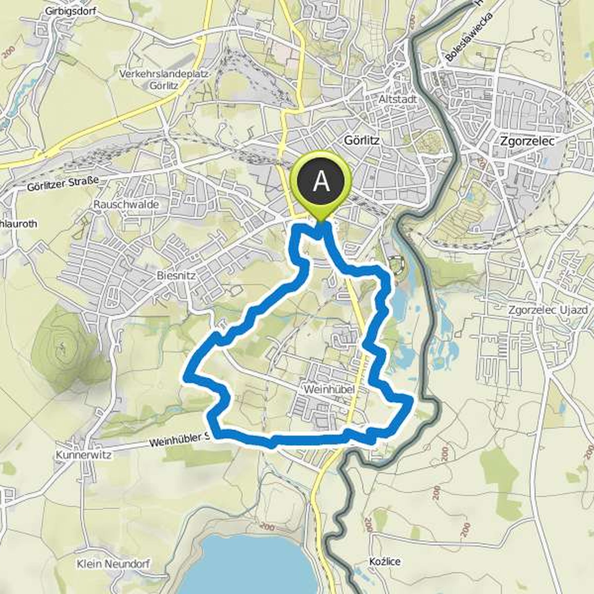
Caromaxeboscaille planned a mountain bike ride
January 17, 2015
Time
Distance
Speed
Ascent
Descent
Caromaxeboscaille likes this.
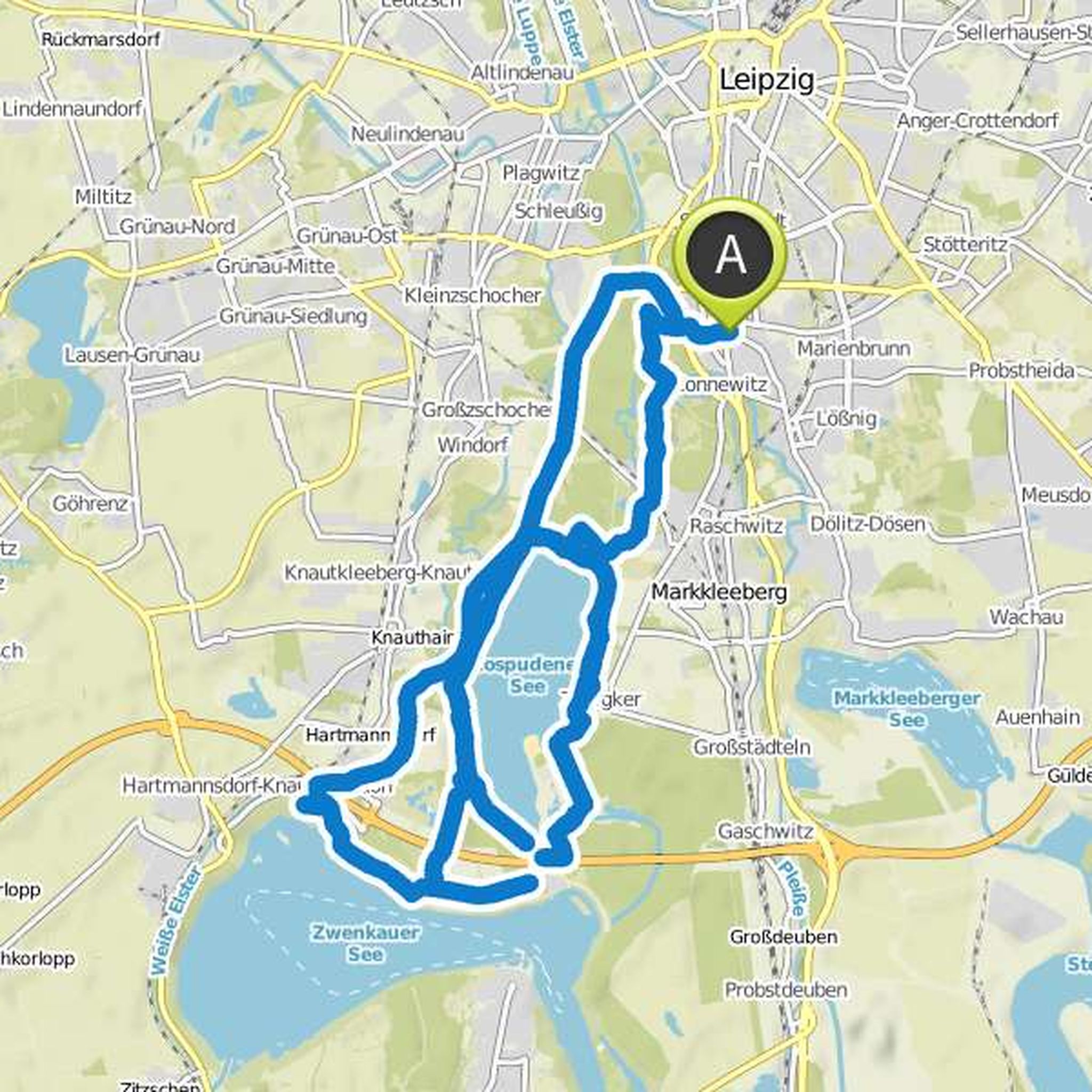
Caromaxeboscaille planned a mountain bike ride
November 26, 2014
Time
Distance
Speed
Ascent
Descent

Caromaxeboscaille planned a mountain bike ride
November 12, 2014
Time
Distance
Speed
Ascent
Descent

January 12, 2018
Coool ... lets you know when 😂
Translated by Google •