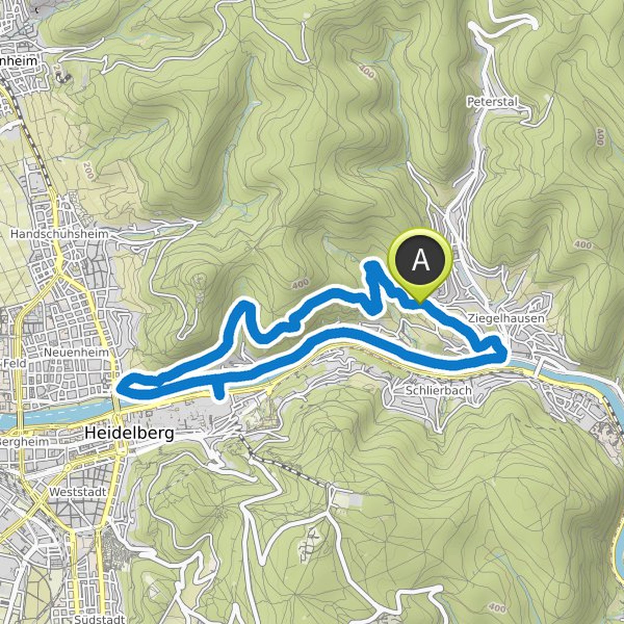
Timeline
Jelena planned a hike
January 15, 2022
Time
2h48m
Distance
10.2km
Speed
3.6km/h
Ascent
140m
Descent
190m
Map data © OpenStreetMap contributors
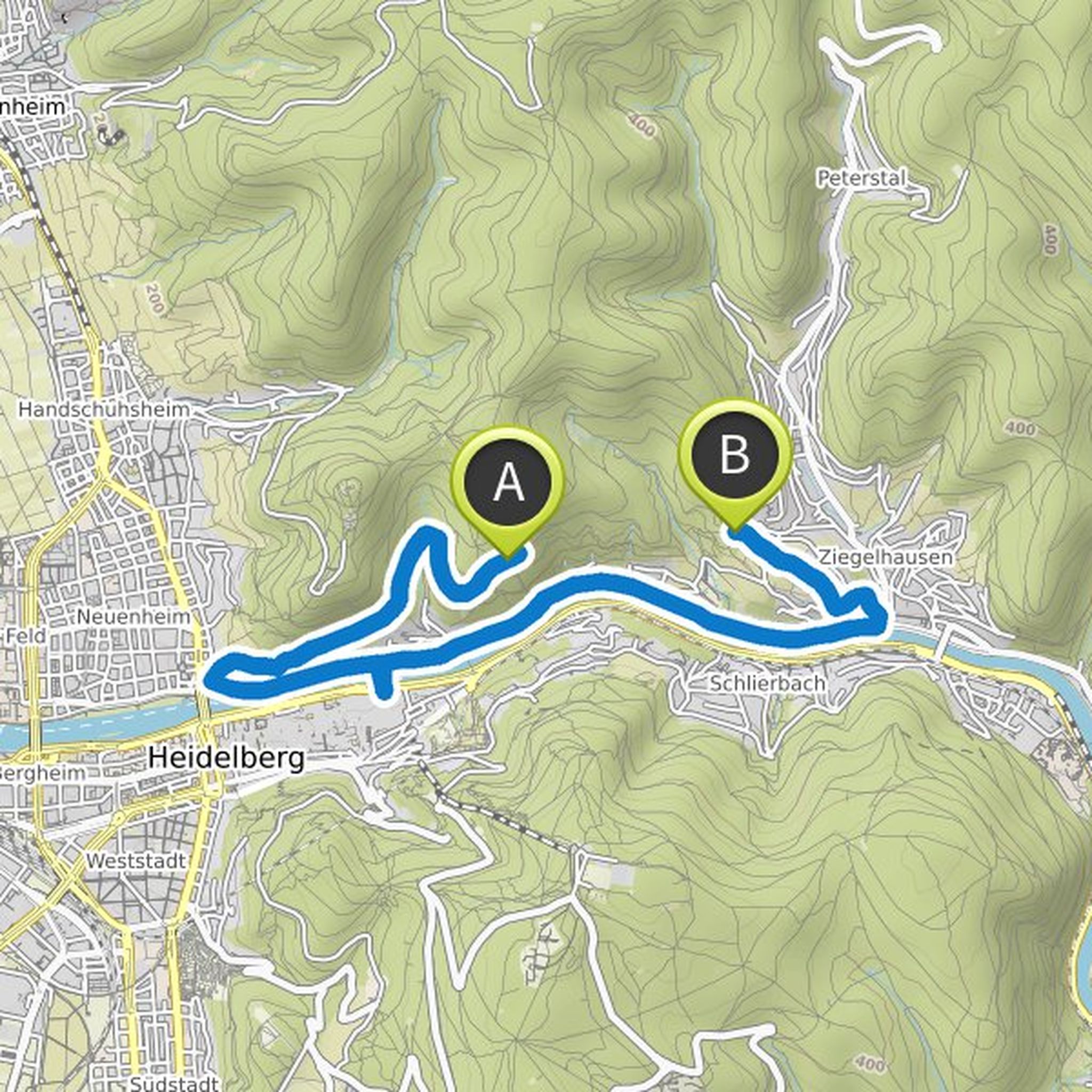
Jelena planned a hike
January 14, 2022
Time
3h34m
Distance
11.8km
Speed
3.3km/h
Ascent
370m
Descent
370m

Map data © OpenStreetMap contributors
Jelena planned a hike
January 12, 2022
Time
3h35m
Distance
12.9km
Speed
3.6km/h
Ascent
220m
Descent
220m
Map data © OpenStreetMap contributors
Jelena planned a hike
January 12, 2022
Time
3h40m
Distance
11.6km
Speed
3.2km/h
Ascent
430m
Descent
430m

Map data © OpenStreetMap contributors
Jelena planned a hike
September 23, 2021
Time
1h32m
Distance
5.79km
Speed
3.8km/h
Ascent
50m
Descent
50m

Map data © OpenStreetMap contributors
Jelena planned a hike
September 23, 2021
Time
1h16m
Distance
4.07km
Speed
3.2km/h
Ascent
150m
Descent
150m

Map data © OpenStreetMap contributors
Jelena planned a hike
May 27, 2021
Time
1h18m
Distance
4.20km
Speed
3.2km/h
Ascent
220m
Descent
50m

Map data © OpenStreetMap contributors
May 28, 2021
The hike is relatively easy in terms of the height to be climbed, but I would still rate it as semi-difficult, because of the narrow pathways that are to be followed when climbing to the last viewpoint.