Timeline
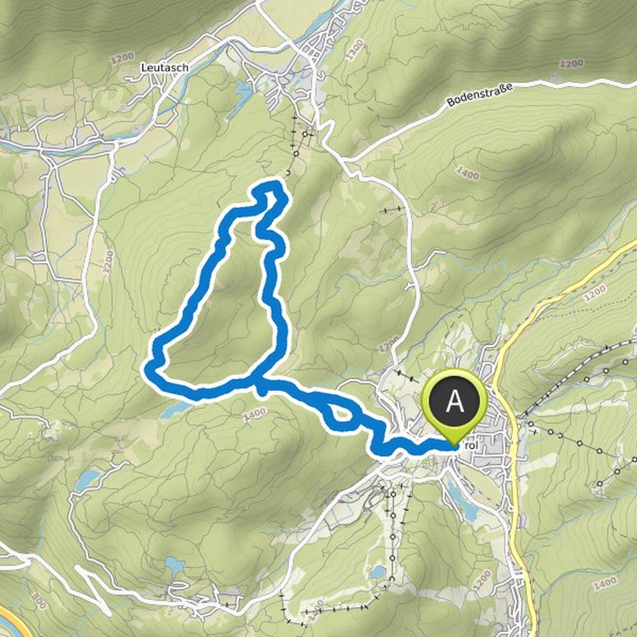
Katharina Kaiser planned a mountaineering activity
June 9, 2023
Time
Distance
Speed
Ascent
Descent
Katharina Kaiser planned a mountaineering activity
October 8, 2022
Time
Distance
Speed
Ascent
Descent
Katharina Kaiser planned a mountaineering activity
September 13, 2022
Time
Distance
Speed
Ascent
Descent
Katharina Kaiser planned a hike
June 17, 2022
Time
Distance
Speed
Ascent
Descent
Katharina Kaiser planned a hike
June 17, 2022
Time
Distance
Speed
Ascent
Descent
Katharina Kaiser planned a hike
May 14, 2022
Time
Distance
Speed
Ascent
Descent
Katharina Kaiser planned a hike
May 14, 2022
Time
Distance
Speed
Ascent
Descent
Katharina Kaiser planned a hike
May 14, 2022
Time
Distance
Speed
Ascent
Descent
Katharina Kaiser planned a hike
May 14, 2022
Time
Distance
Speed
Ascent
Descent
Katharina Kaiser planned a hike
September 20, 2021
Time
Distance
Speed
Ascent
Descent
Katharina Kaiser planned a hike
September 20, 2021
Time
Distance
Speed
Ascent
Descent

Katharina Kaiser planned a hike
September 20, 2021
Time
Distance
Speed
Ascent
Descent

Katharina Kaiser planned a hike
September 20, 2021
Time
Distance
Speed
Ascent
Descent

Katharina Kaiser planned a hike
September 20, 2021
Time
Distance
Speed
Ascent
Descent

Katharina Kaiser planned a hike
August 15, 2021
Time
Distance
Speed
Ascent
Descent
