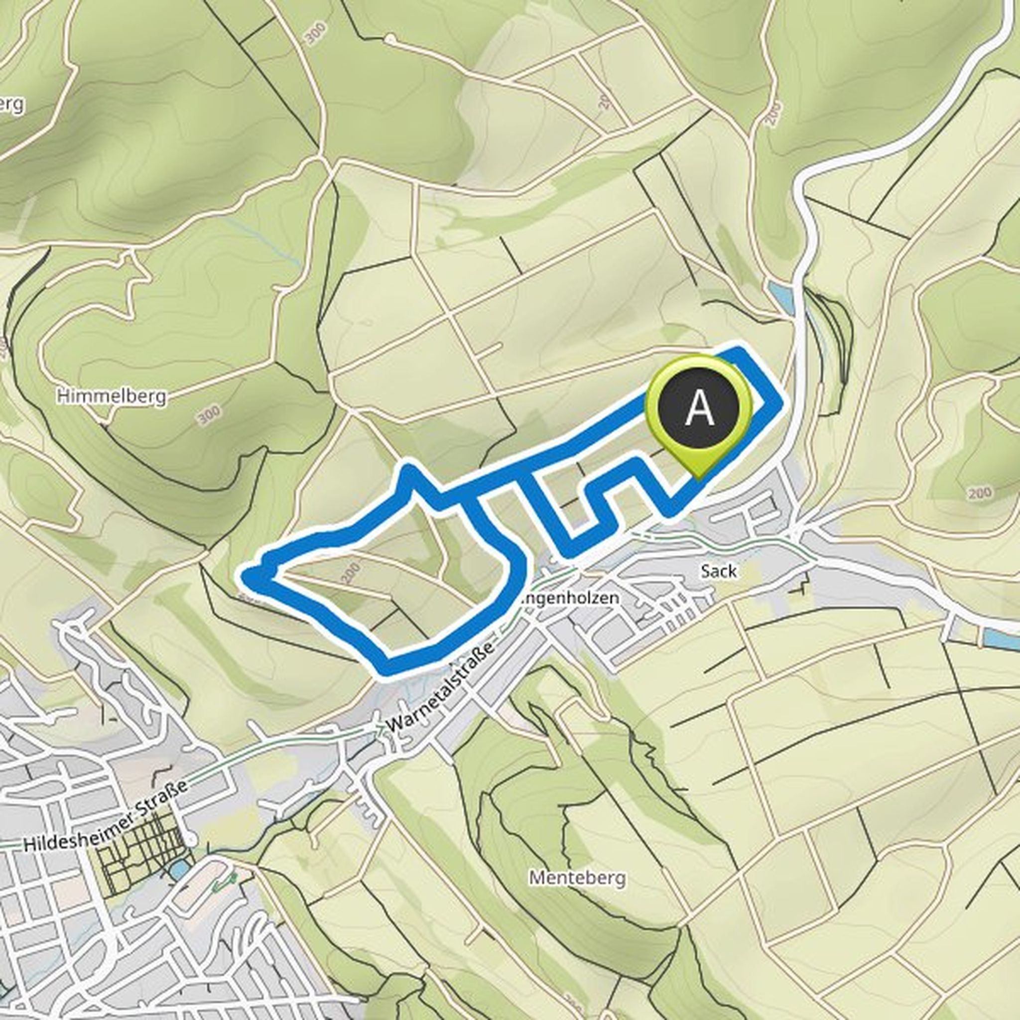
Timeline
Laureen Wöltje 🖤 planned a hike
February 11, 2024
Time
Distance
Speed
Ascent
Descent
Laureen Wöltje 🖤 planned a hike
February 11, 2024
Time
Distance
Speed
Ascent
Descent
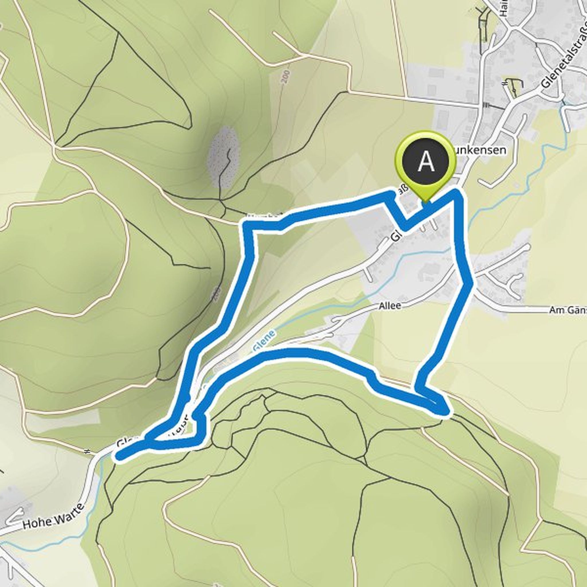
Laureen Wöltje 🖤 planned a hike
February 10, 2024
Time
Distance
Speed
Ascent
Descent
Laureen Wöltje 🖤 planned a hike
October 30, 2023
Time
Distance
Speed
Ascent
Descent
Laureen Wöltje 🖤 planned a hike
October 30, 2023
Time
Distance
Speed
Ascent
Descent
Laureen Wöltje 🖤 planned a hike
October 30, 2023
Time
Distance
Speed
Ascent
Descent
Laureen Wöltje 🖤 planned a hike
February 12, 2023
Time
Distance
Speed
Ascent
Descent
Laureen Wöltje 🖤 planned a hike
February 4, 2023
Time
Distance
Speed
Ascent
Descent
Laureen Wöltje 🖤 planned a hike
October 28, 2022
Time
Distance
Speed
Ascent
Descent
Laureen Wöltje 🖤 planned a hike
October 28, 2022
Time
Distance
Speed
Ascent
Descent
Laureen Wöltje 🖤 planned a hike
October 28, 2022
Time
Distance
Speed
Ascent
Descent
Laureen Wöltje 🖤 planned a hike
October 28, 2022
Time
Distance
Speed
Ascent
Descent
Laureen Wöltje 🖤 planned a hike
October 28, 2022
Time
Distance
Speed
Ascent
Descent
Laureen Wöltje 🖤 planned a hike
April 2, 2022
Time
Distance
Speed
Ascent
Descent
Laureen Wöltje 🖤 planned a hike
April 2, 2022
Time
Distance
Speed
Ascent
Descent