Timeline
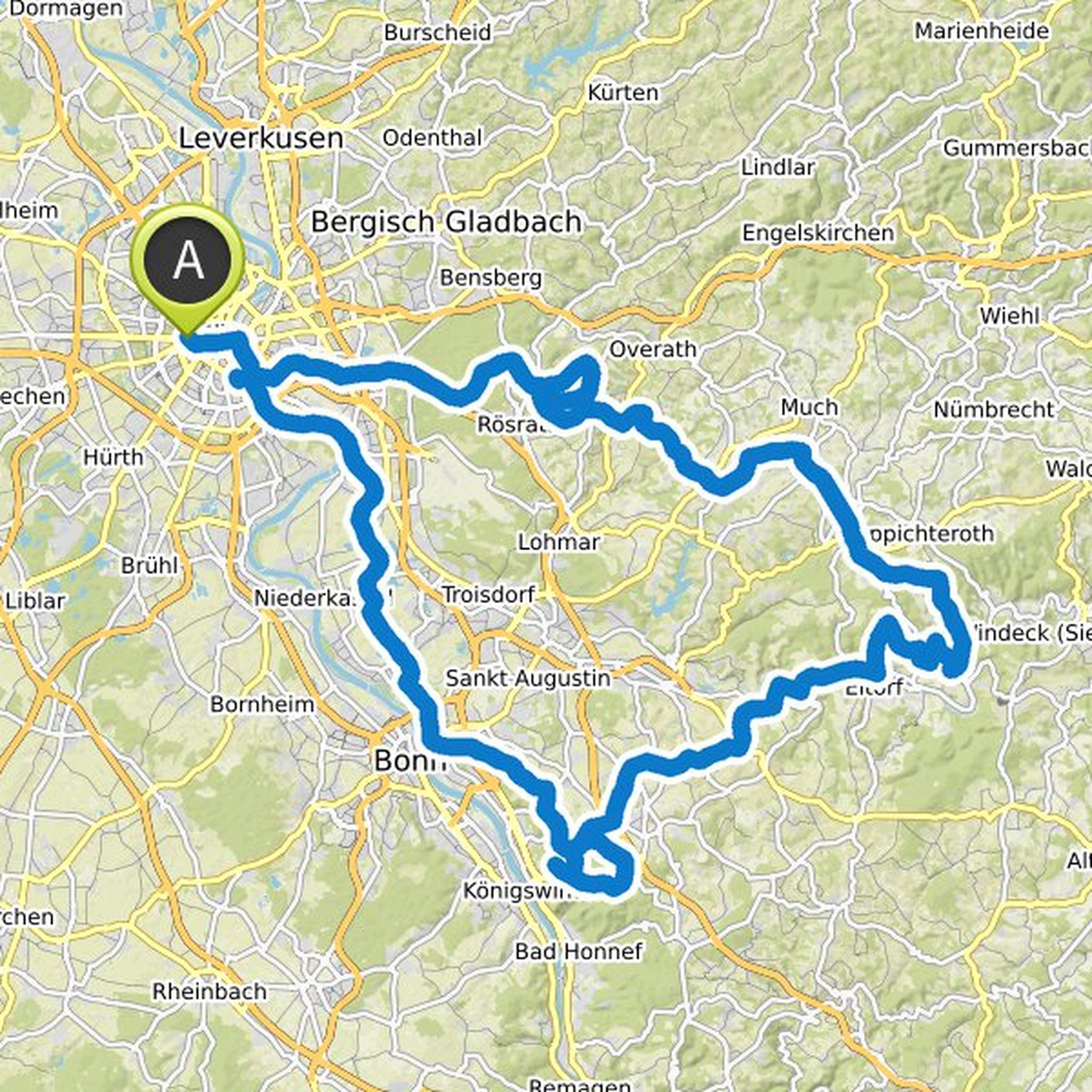
Maurizio Capaldi and Mark planned a road ride
June 3, 2025
Time
Distance
Speed
Ascent
Descent
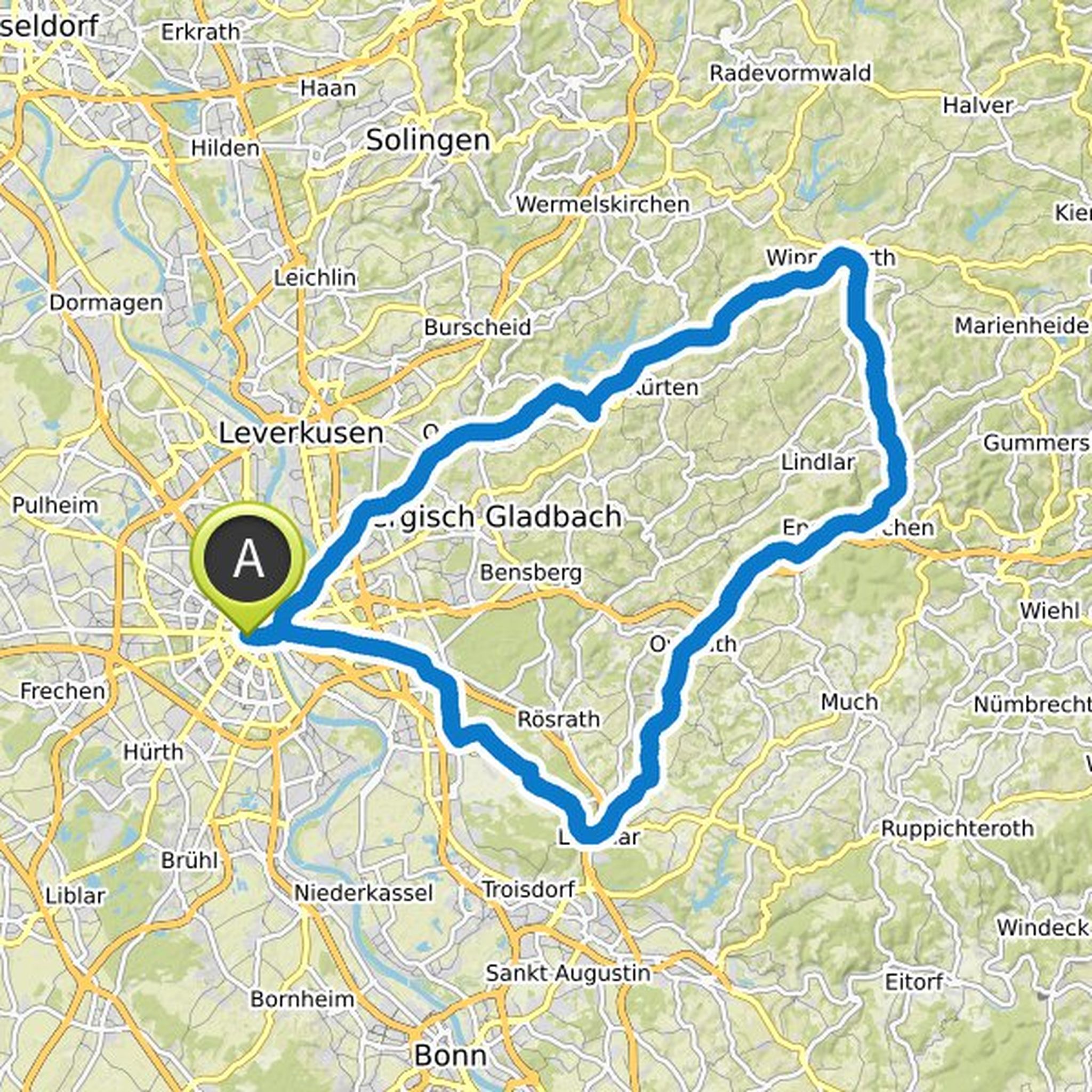
Maurizio Capaldi and Mark planned a road ride
May 28, 2025
Time
Distance
Speed
Ascent
Descent
Maurizio Capaldi and Mark planned a road ride
May 27, 2025
Time
Distance
Speed
Ascent
Descent
Maurizio Capaldi and Mark planned a road ride
May 27, 2025
Time
Distance
Speed
Ascent
Descent
Maurizio Capaldi and Mark planned a road ride
May 27, 2025
Time
Distance
Speed
Ascent
Descent
Maurizio Capaldi and Mark planned a road ride
May 26, 2025
Time
Distance
Speed
Ascent
Descent
Maurizio Capaldi and Mark planned a road ride
May 1, 2025
Time
Distance
Speed
Ascent
Descent
Maurizio Capaldi and Mark planned a road ride
April 16, 2025
Time
Distance
Speed
Ascent
Descent
Maurizio Capaldi and Mark planned a road ride
April 13, 2025
Time
Distance
Speed
Ascent
Descent
Maurizio Capaldi and Mark planned a road ride
March 28, 2025
Time
Distance
Speed
Ascent
Descent
Maurizio Capaldi and Mark planned a road ride
September 16, 2024
Time
Distance
Speed
Ascent
Descent
Jan and others planned a road ride
May 30, 2024
Time
Distance
Speed
Ascent
Descent
Mark planned a road ride
August 20, 2021
Time
Distance
Speed
Ascent
Descent

Mark planned a road ride
May 5, 2021
Time
Distance
Speed
Ascent
Descent
Mark planned a road ride
October 17, 2020
Time
Distance
Speed
Ascent
Descent
March 23, 2024
This year it's all about the Ahr!
Meeting point at the kiosk in Marienburg - this is where you will have your well-deserved beer in the evening.
It's relatively flat until Ahrweiler, before 1000 meters of altitude await us over 40km to the Hohe Acht.
You refuel in the cafe at the Alte Scheune in Hilberath
Translated by Google •