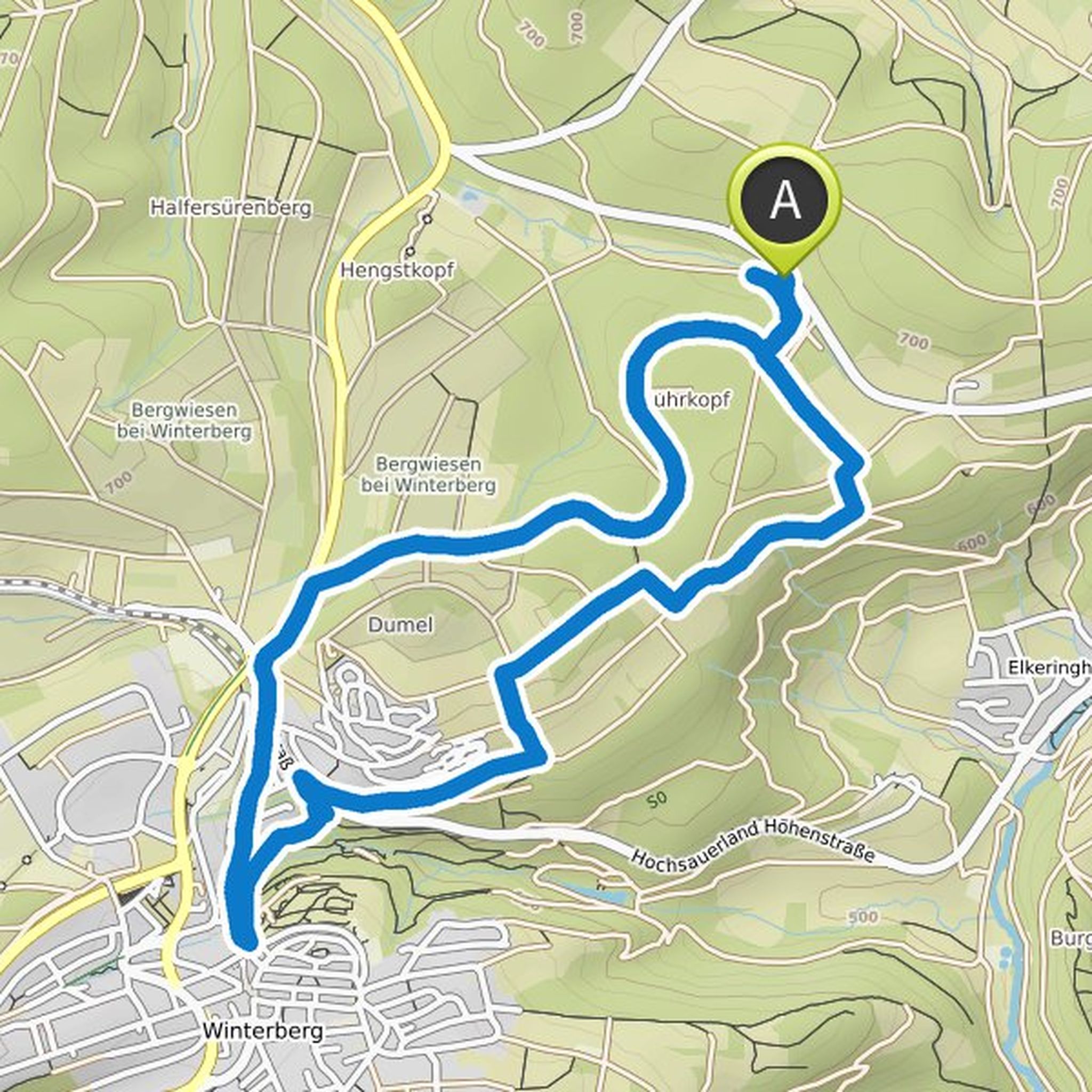
Timeline
tshirschfeld planned a hike
February 17, 2022
Time
2h28m
Distance
8.66km
Speed
3.5km/h
Ascent
180m
Descent
190m

Map data © OpenStreetMap contributors
tshirschfeld planned a hike
February 17, 2022
Time
1h41m
Distance
6.59km
Speed
3.9km/h
Ascent
30m
Descent
30m
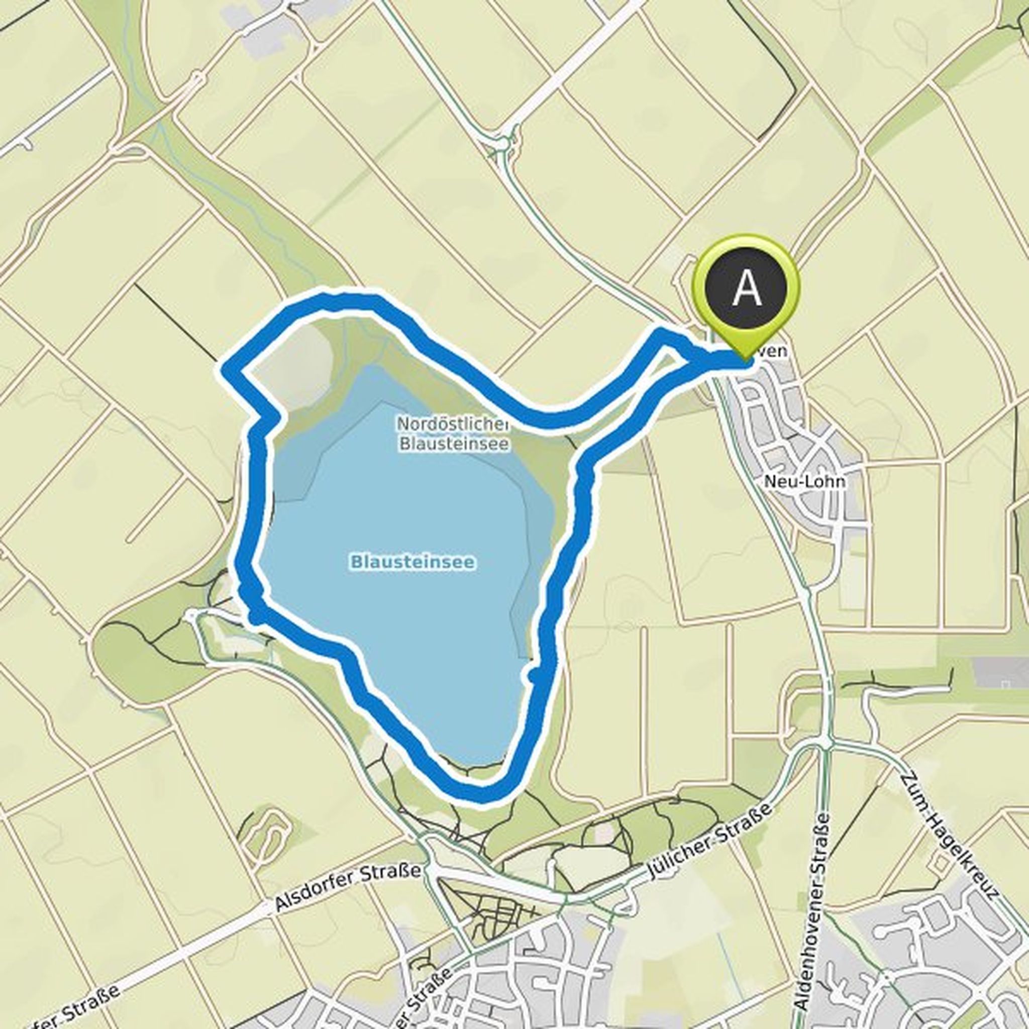
Map data © OpenStreetMap contributors
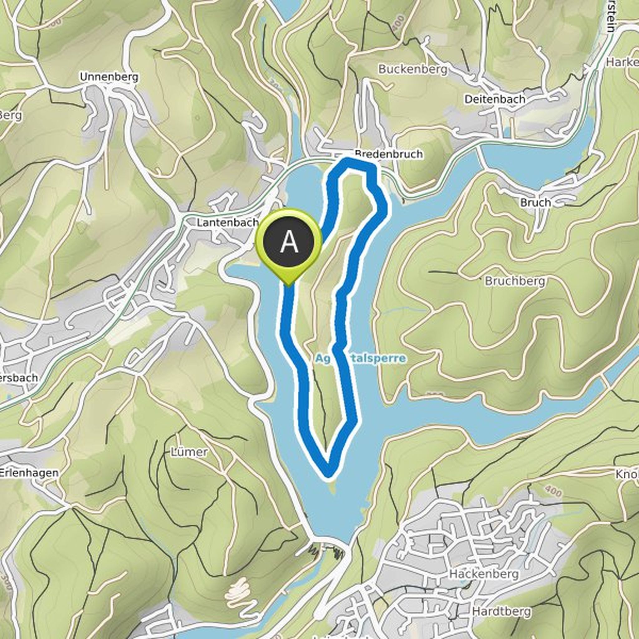
tshirschfeld planned a hike
January 13, 2022
Time
3h25m
Distance
12.6km
Speed
3.7km/h
Ascent
170m
Descent
170m

Map data © OpenStreetMap contributors
tshirschfeld planned a hike
January 10, 2022
Time
2h25m
Distance
8.73km
Speed
3.6km/h
Ascent
160m
Descent
160m
Map data © OpenStreetMap contributors
tshirschfeld planned a hike
June 16, 2021
Time
2h04m
Distance
8.22km
Speed
4.0km/h
Ascent
10m
Descent
10m

Map data © OpenStreetMap contributors
tshirschfeld planned a hike
June 13, 2021
Time
1h23m
Distance
5.48km
Speed
3.9km/h
Ascent
10m
Descent
10m

Map data © OpenStreetMap contributors
tshirschfeld planned a hike
June 13, 2021
Time
3h08m
Distance
12.0km
Speed
3.9km/h
Ascent
70m
Descent
70m

Map data © OpenStreetMap contributors
tshirschfeld planned a hike
June 13, 2021
Time
2h08m
Distance
8.24km
Speed
3.9km/h
Ascent
50m
Descent
50m

Map data © OpenStreetMap contributors
tshirschfeld and Ele planned a hike
February 15, 2021
Time
2h30m
Distance
9.39km
Speed
3.8km/h
Ascent
100m
Descent
100m
Map data © OpenStreetMap contributors