Timeline
Time
7h33m
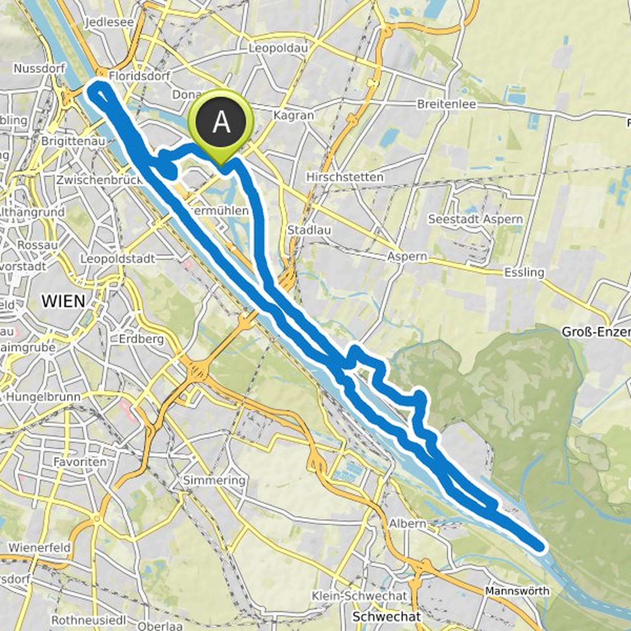
Distance
180km
Speed
23.9km/h
Ascent
1,050m
Descent
1,050m
Map data © OpenStreetMap contributors
Stefan and others planned a hike
July 26, 2020
Time
15h31m
Distance
70.6km
Speed
4.5km/h
Ascent
1,120m
Descent
1,120m

Map data © OpenStreetMap contributors
Lustiger Wanderer likes this.
Time
11h29m
Distance
45.0km
Speed
3.9km/h
Ascent
140m
Descent
140m

Map data © OpenStreetMap contributors
Stefan and others planned a hike
January 8, 2020
Time
19h51m
Distance
66.0km
Speed
3.3km/h
Ascent
1,940m
Descent
2,010m

Map data © OpenStreetMap contributors
Stefan and others planned a hike
October 2, 2019
Time
8h37m
Distance
35.6km
Speed
4.1km/h
Ascent
1,090m
Descent
1,090m

Map data © OpenStreetMap contributors
Stefan and others planned a hike
May 1, 2012
Time
7h46m
Distance
38.0km
Speed
4.9km/h
Ascent
120m
Descent
120m
Map data © OpenStreetMap contributors
Time
7h40m
Distance
28.4km
Speed
3.7km/h
Ascent
270m
Descent
280m
Map data © OpenStreetMap contributors
January 9, 2020
Meeting point: 01.02.2020 at 8 a.m. at Baden train station
Translated by Google •