Timeline
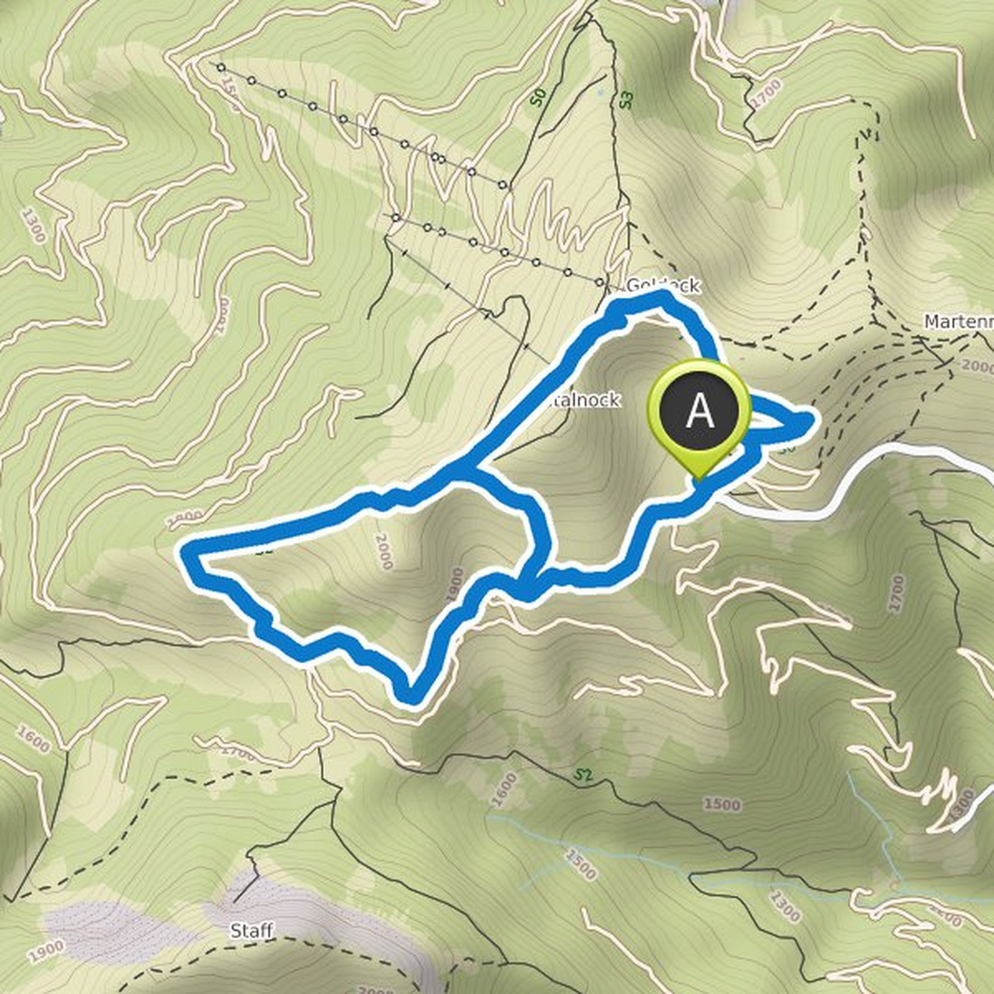
Tobias Schreiner planned a hike
August 19, 2022
Time
Distance
Speed
Ascent
Descent
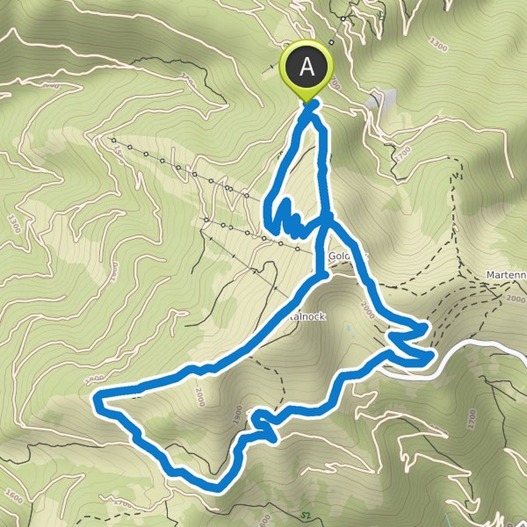
Tobias Schreiner planned a hike
August 10, 2022
Time
Distance
Speed
Ascent
Descent
Tobias Schreiner planned a hike
August 10, 2022
Time
Distance
Speed
Ascent
Descent
Tobias Schreiner planned a hike
August 10, 2022
Time
Distance
Speed
Ascent
Descent
Tobias Schreiner planned a hike
May 21, 2022
Time
Distance
Speed
Ascent
Descent
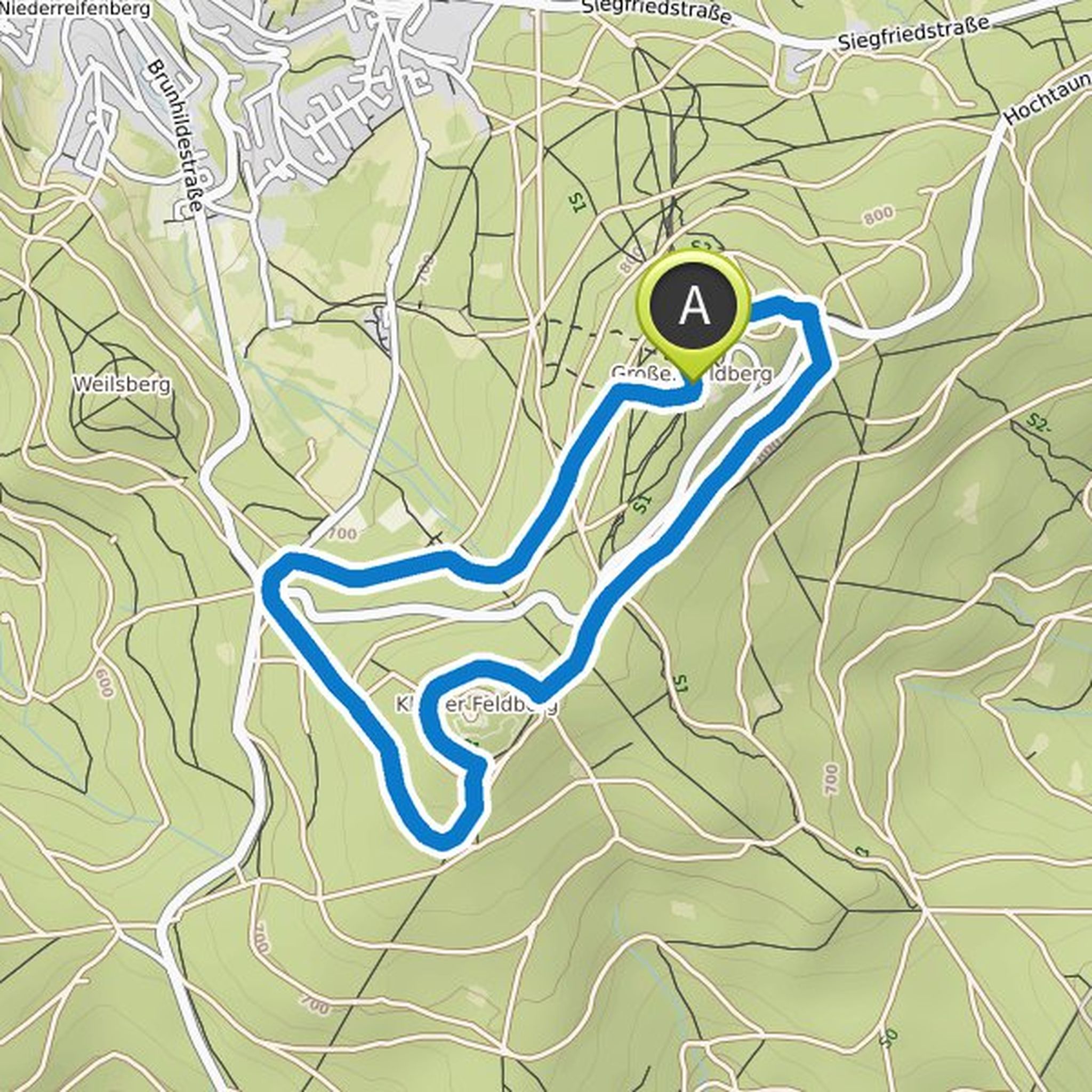
Tobias Schreiner planned a hike
December 31, 2021
Time
Distance
Speed
Ascent
Descent
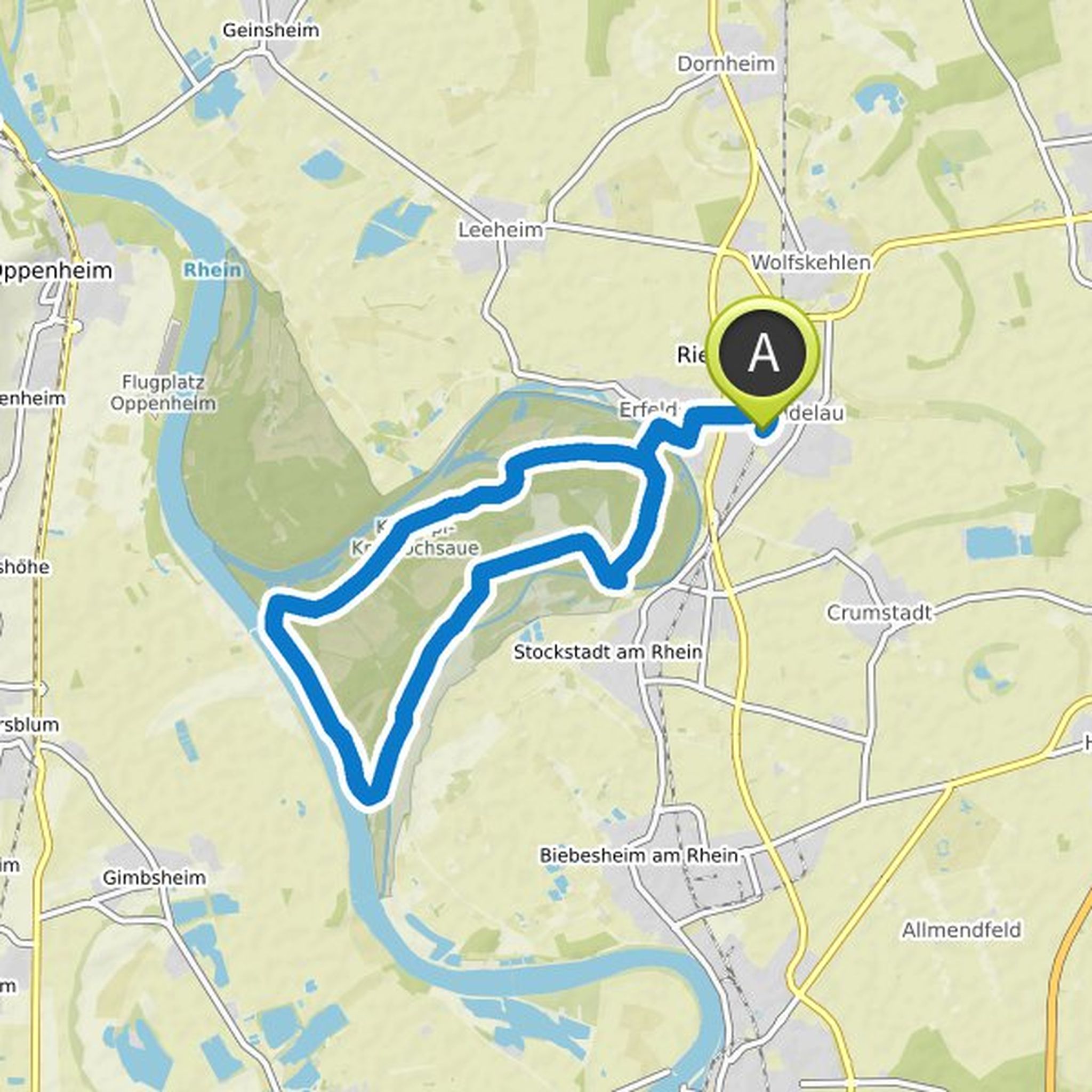
Tobias Schreiner planned a bike ride
October 3, 2021
Time
Distance
Speed
Ascent
Descent
Tobias Schreiner planned a bike ride
October 2, 2021
Time
Distance
Speed
Ascent
Descent

Tobias Schreiner planned a hike
June 19, 2021
Time
Distance
Speed
Ascent
Descent
Tobias Schreiner planned a hike
June 19, 2021
Time
Distance
Speed
Ascent
Descent