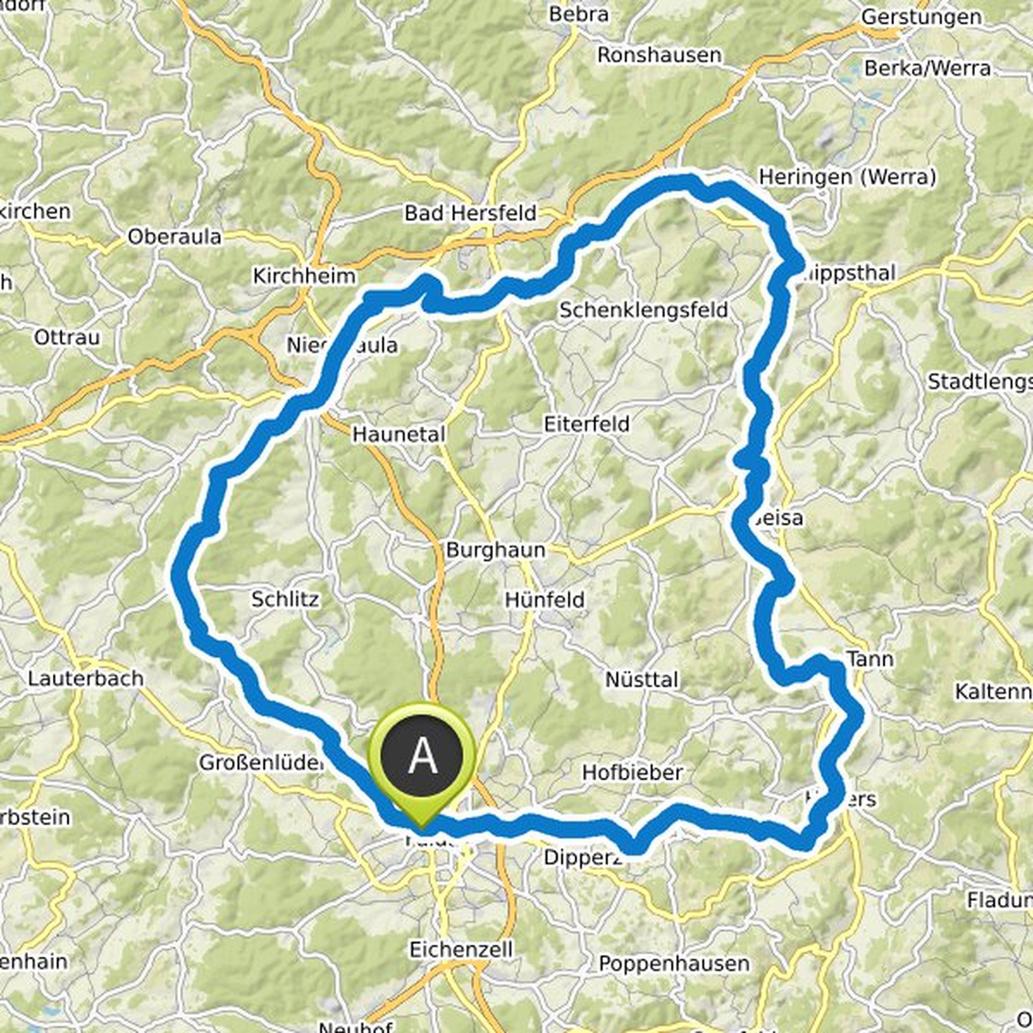
Routes

Planner

Features

Updates

App

Login or Signup

Get the App

Login or Signup

Nils Laengner

I love to get in touch with people. By using photography I want to tell their stories, especially from their own point of view. That includes respect, dignity and a wide range of perspectives. In a world, which he perceives as more and more egoistic, I like to confront people and sensitize them for others in totally different circumstances and situations.

I found my very own and special way to take pictures. Also I want to break out of what I currently know and move on to new challenges.
www.nilslaengner.de

Followers

0

Following

0

Follow

Timeline

and planned a hike

July 12, 2024

Time

3h17m

Distance

11.0km

Speed

3.3km/h

Ascent

330m

Descent

340m
map_image
Map data © OpenStreetMap contributors

planned a hike

April 14, 2024

Time

4h15m

Distance

11.2km

Speed

2.6km/h

Ascent

680m

Descent

680m
map_image
Map data © OpenStreetMap contributors

planned a mountain bike ride

April 4, 2024

Time

2h31m

Distance

35.3km

Speed

14.0km/h

Ascent

250m

Descent

250m
map_image
Map data © OpenStreetMap contributors

planned a mountain bike ride

January 20, 2024

Time

4h50m

Distance

83.2km

Speed

17.2km/h

Ascent

810m

Descent

1,570m
map_image
Map data © OpenStreetMap contributors

likes this.

planned a hike

November 28, 2023

Time

3h57m

Distance

12.8km

Speed

3.2km/h

Ascent

460m

Descent

460m
map_image
Map data © OpenStreetMap contributors

planned a hike

September 10, 2023

Time

4h01m

Distance

12.8km

Speed

3.2km/h

Ascent

520m

Descent

520m
map_image
Map data © OpenStreetMap contributors

planned a hike

April 9, 2023

Time

3h52m

Distance

13.8km

Speed

3.6km/h

Ascent

270m

Descent

270m
map_image
Map data © OpenStreetMap contributors

planned a road ride

December 28, 2022

Time

3h34m

Distance

73.8km

Speed

20.7km/h

Ascent

750m

Descent

750m
map_image
Map data © OpenStreetMap contributors

planned a hike

July 8, 2022

Time

3h53m

Distance

12.2km

Speed

3.1km/h

Ascent

510m

Descent

510m
map_image
Map data © OpenStreetMap contributors

planned a bike ride

June 2, 2022

Time

18h09m

Distance

269km

Speed

14.8km/h

Ascent

1,110m

Descent

1,110m
map_image
Map data © OpenStreetMap contributors

likes this.

planned a mountain bike ride

April 17, 2022

Time

4h06m

Distance

53.5km

Speed

13.0km/h

Ascent

940m

Descent

850m
map_image
Map data © OpenStreetMap contributors

planned a gravel ride

March 31, 2022

Time

6h48m

Distance

82.4km

Speed

12.1km/h

Ascent

1,150m

Descent

1,150m
map_image
Map data © OpenStreetMap contributors

planned a gravel ride

October 7, 2021

Time

4h37m

Distance

54.4km

Speed

11.8km/h

Ascent

860m

Descent

860m
map_image
Map data © OpenStreetMap contributors

planned a bike ride

October 3, 2021

Time

6h16m

Distance

97.4km

Speed

15.5km/h

Ascent

950m

Descent

1,000m
map_image
Map data © OpenStreetMap contributors

planned a gravel ride

October 2, 2021

Time

12h39m

Distance

171km

Speed

13.5km/h

Ascent

3,270m

Descent

3,260m
map_image
Map data © OpenStreetMap contributors
Loading