Timeline
Sandra Fuhs planned a hike
February 2, 2022
Time
2h26m
Distance
9.05km
Speed
3.7km/h
Ascent
90m
Descent
90m

Map data © OpenStreetMap contributors
Sandra Fuhs planned a hike
February 2, 2022
Time
4h31m
Distance
16.5km
Speed
3.7km/h
Ascent
260m
Descent
260m
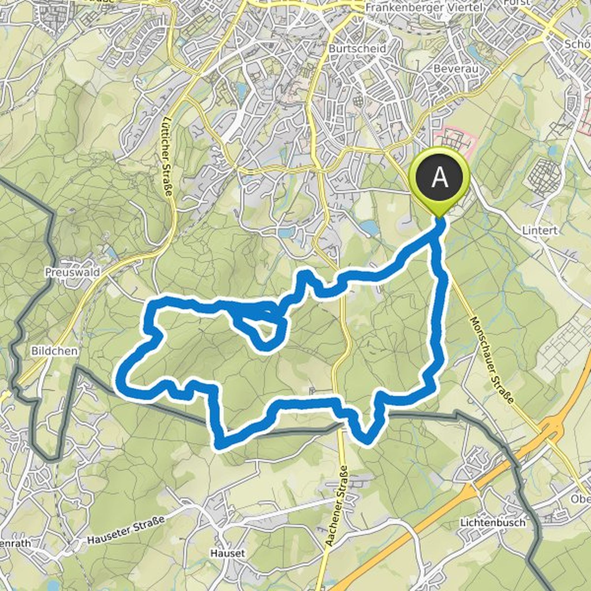
Map data © OpenStreetMap contributors
Sandra Fuhs planned a hike
February 2, 2022
Time
4h16m
Distance
15.3km
Speed
3.6km/h
Ascent
280m
Descent
280m

Map data © OpenStreetMap contributors
Sandra Fuhs and others planned a hike
August 22, 2019
Time
3h23m
Distance
10.8km
Speed
3.2km/h
Ascent
390m
Descent
390m

Map data © OpenStreetMap contributors
Sandra likes this.