Timeline
bruno lohr planned a hike
May 16, 2022
Time
7h34m
Distance
21.1km
Speed
2.8km/h
Ascent
890m
Descent
890m
Map data © OpenStreetMap contributors
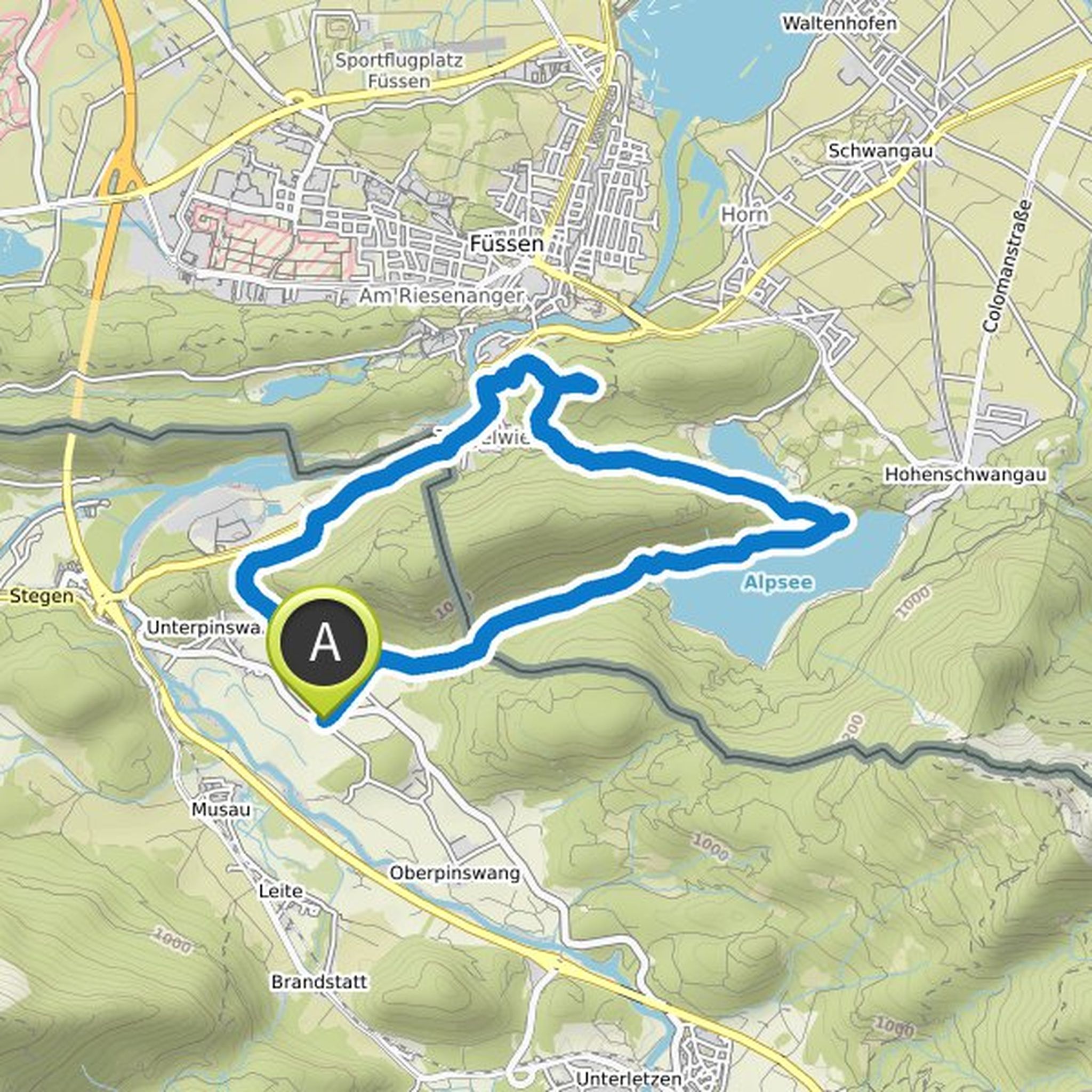
bruno lohr planned a hike
September 21, 2021
Time
5h17m
Distance
13.5km
Speed
2.6km/h
Ascent
830m
Descent
830m

Map data © OpenStreetMap contributors
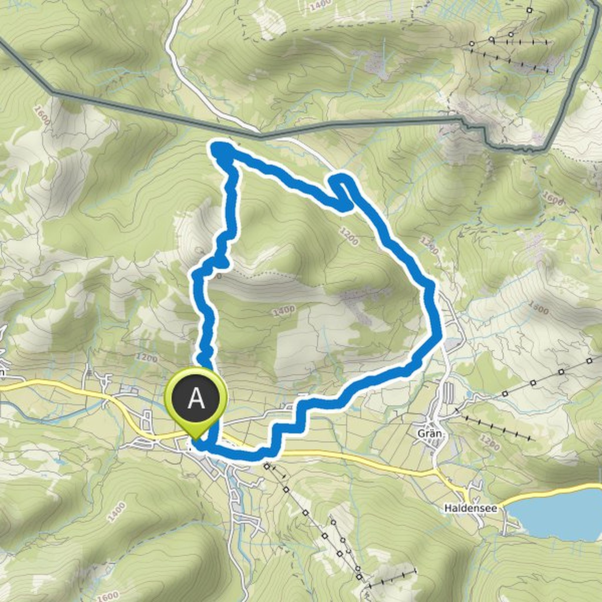
bruno lohr planned a hike
September 13, 2021
Time
5h31m
Distance
16.3km
Speed
2.9km/h
Ascent
780m
Descent
780m

Map data © OpenStreetMap contributors
bruno lohr planned a hike
September 13, 2021
Time
5h00m
Distance
11.8km
Speed
2.4km/h
Ascent
760m
Descent
760m

Map data © OpenStreetMap contributors
bruno lohr planned a hike
September 13, 2021
Time
3h56m
Distance
13.1km
Speed
3.3km/h
Ascent
330m
Descent
330m
Map data © OpenStreetMap contributors
bruno lohr planned a hike
September 6, 2021
Time
5h40m
Distance
16.0km
Speed
2.8km/h
Ascent
690m
Descent
690m
Map data © OpenStreetMap contributors