Timeline
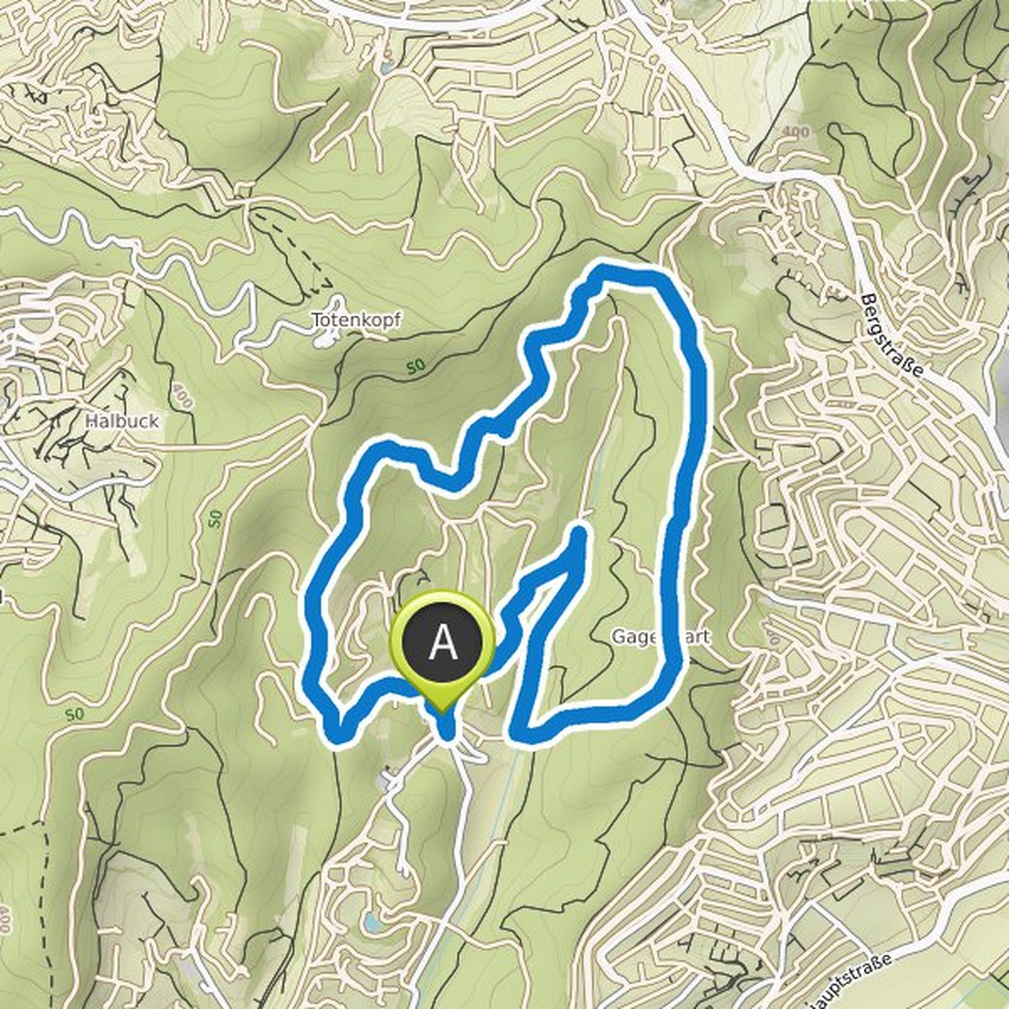
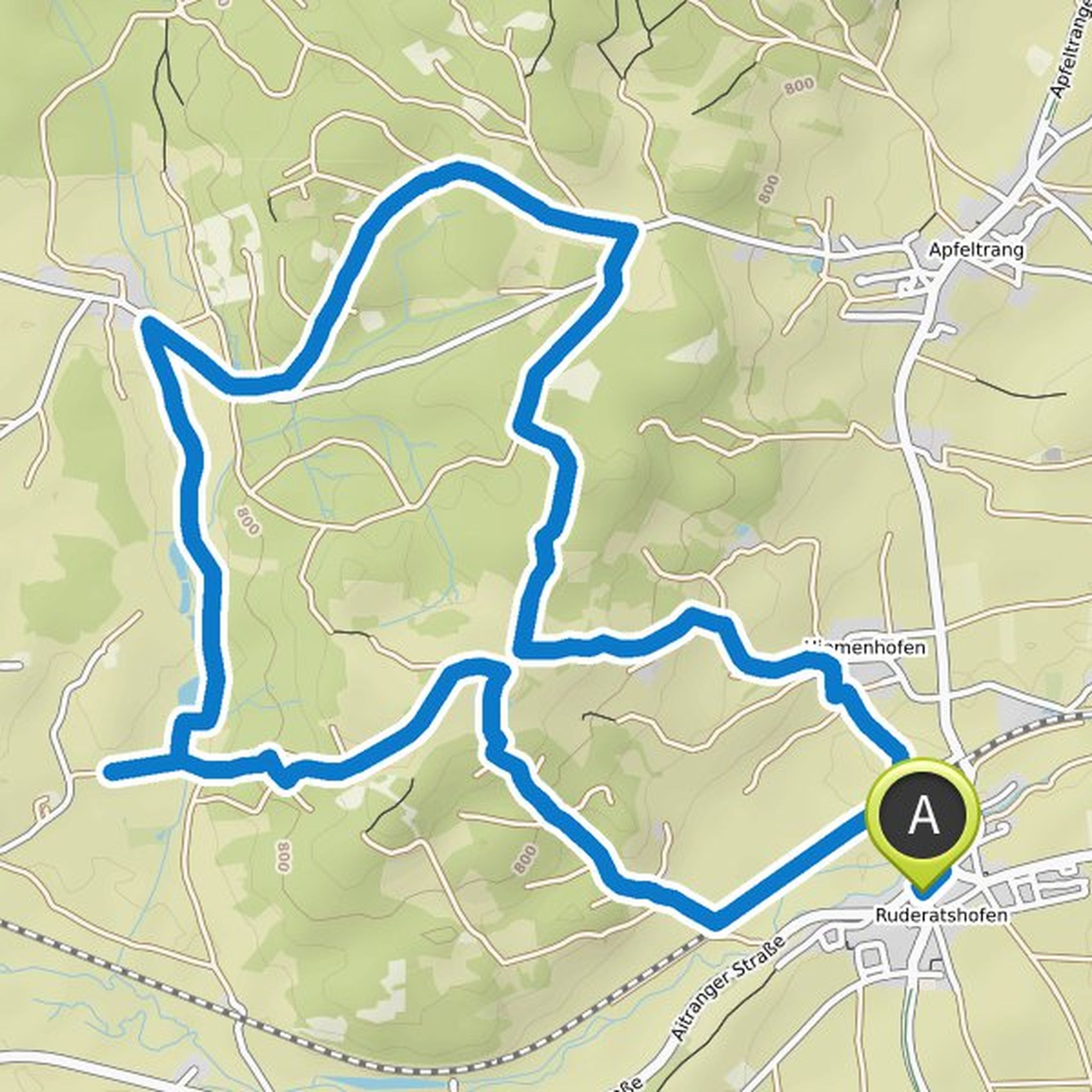
Hans-Jürgen Kohler planned a hike
October 6, 2022
Time
Distance
Speed
Ascent
Descent
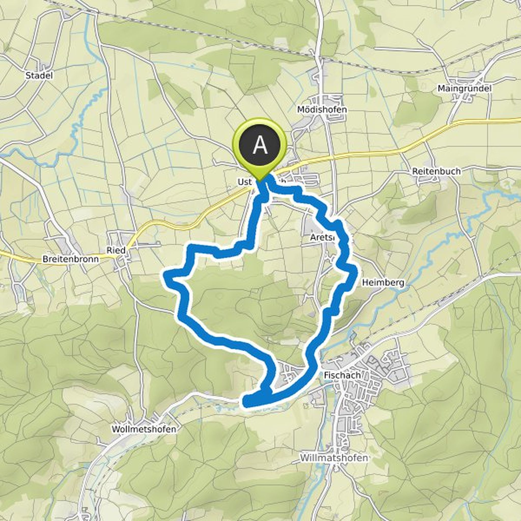
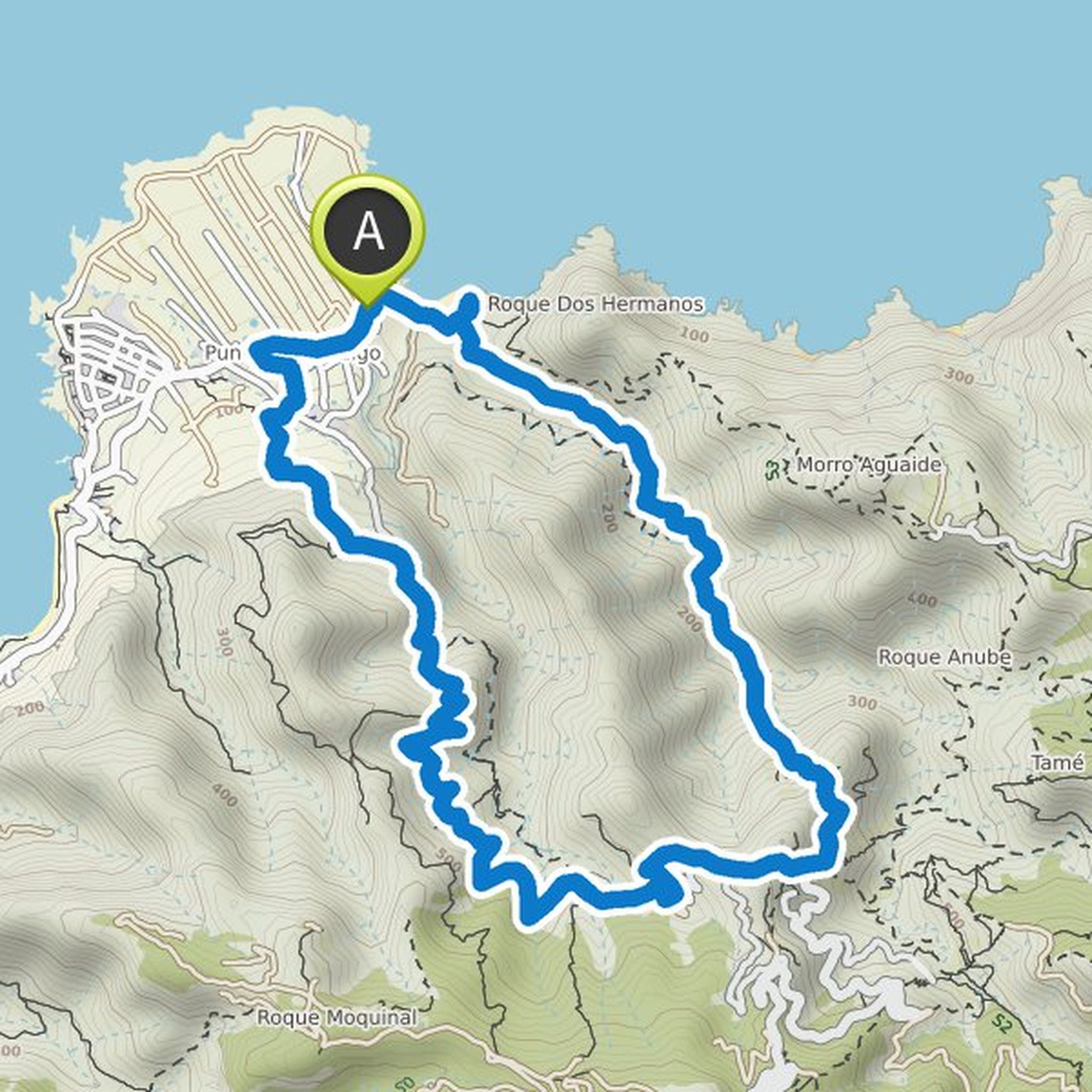
Hans-Jürgen Kohler planned a hike
October 5, 2022
Time
Distance
Speed
Ascent
Descent
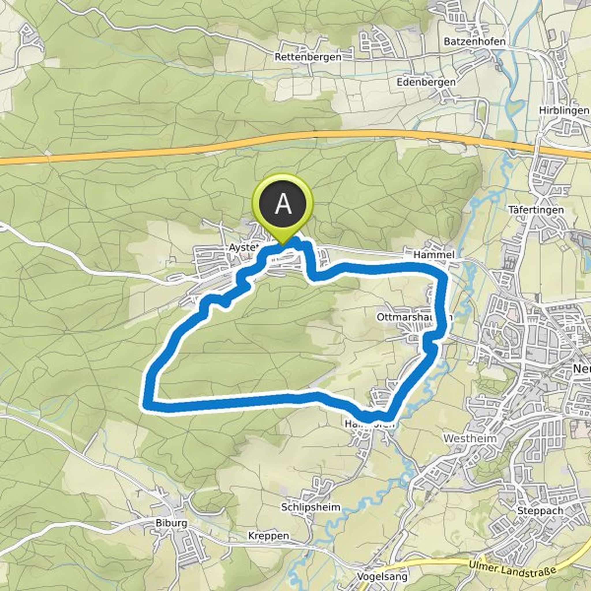
Hans-Jürgen Kohler planned a hike
October 2, 2022
Time
Distance
Speed
Ascent
Descent
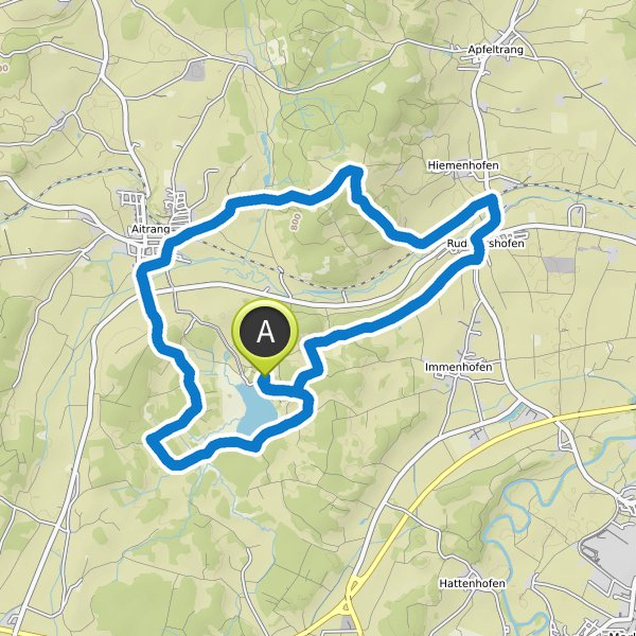
Hans-Jürgen Kohler planned a hike
October 2, 2022
Time
Distance
Speed
Ascent
Descent
Hans-Jürgen Kohler planned a hike
September 3, 2022
Time
Distance
Speed
Ascent
Descent
Hans-Jürgen Kohler planned a hike
August 18, 2022
Time
Distance
Speed
Ascent
Descent
Hans-Jürgen Kohler planned a hike
June 18, 2022
Time
Distance
Speed
Ascent
Descent
Hans-Jürgen Kohler planned a hike
June 6, 2022
Time
Distance
Speed
Ascent
Descent
Hans-Jürgen Kohler planned a hike
April 10, 2022
Time
Distance
Speed
Ascent
Descent
Hans-Jürgen Kohler planned a hike
December 27, 2021
Time
Distance
Speed
Ascent
Descent
Hans-Jürgen Kohler planned a hike
December 21, 2021
Time
Distance
Speed
Ascent
Descent
Hans-Jürgen Kohler planned a hike
November 20, 2021
Time
Distance
Speed
Ascent
Descent
Hans-Jürgen Kohler planned a hike
November 20, 2021
Time
Distance
Speed
Ascent
Descent
Hans-Jürgen Kohler planned a hike
November 8, 2021
Time
Distance
Speed
Ascent
Descent
Hans-Jürgen Kohler planned a hike
October 31, 2021
Time
Distance
Speed
Ascent
Descent