Timeline
Dieter planned a hike
October 20, 2019
Time
8h12m
Distance
19.3km
Speed
2.4km/h
Ascent
1,200m
Descent
1,200m

Map data © OpenStreetMap contributors
Dieter planned a hike
August 2, 2019
Time
3h07m
Distance
9.89km
Speed
3.2km/h
Ascent
270m
Descent
270m

Map data © OpenStreetMap contributors
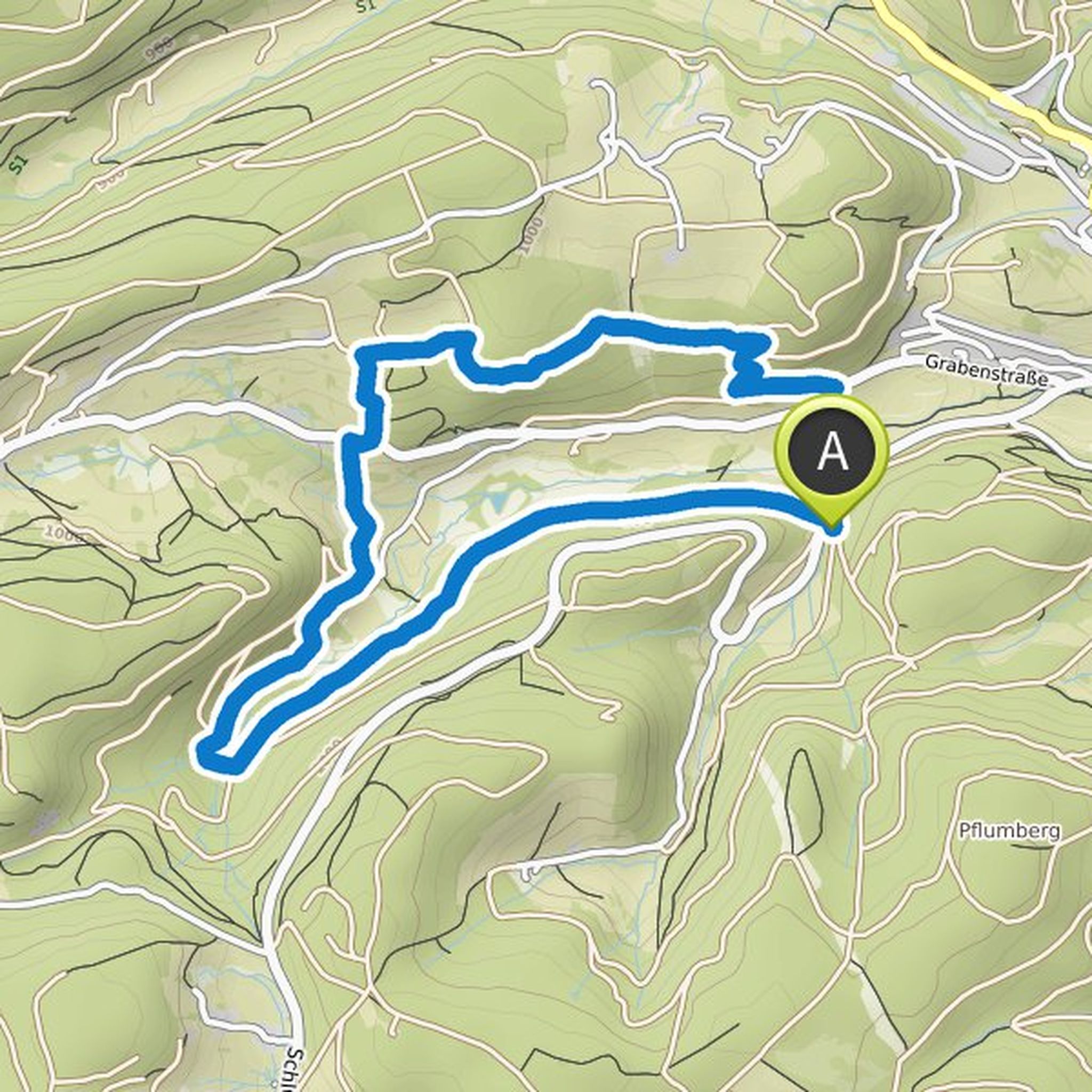
Dieter planned a hike
July 30, 2019
Time
3h06m
Distance
7.46km
Speed
2.4km/h
Ascent
590m
Descent
590m

Map data © OpenStreetMap contributors
July 30, 2019
Medium difficult, well signposted tour. After crossing the Valbona river, it goes steadily uphill to the viewpoint. The increase in the last third is steep and sometimes exhausting. The view from the top of the valley is terrific. The descent into the valley is easy, but requires sure-footedness. The
Translated by Google •
Dieter planned a hike
July 30, 2019
Time
0h32m
Distance
1.85km
Speed
3.5km/h
Ascent
50m
Descent
30m
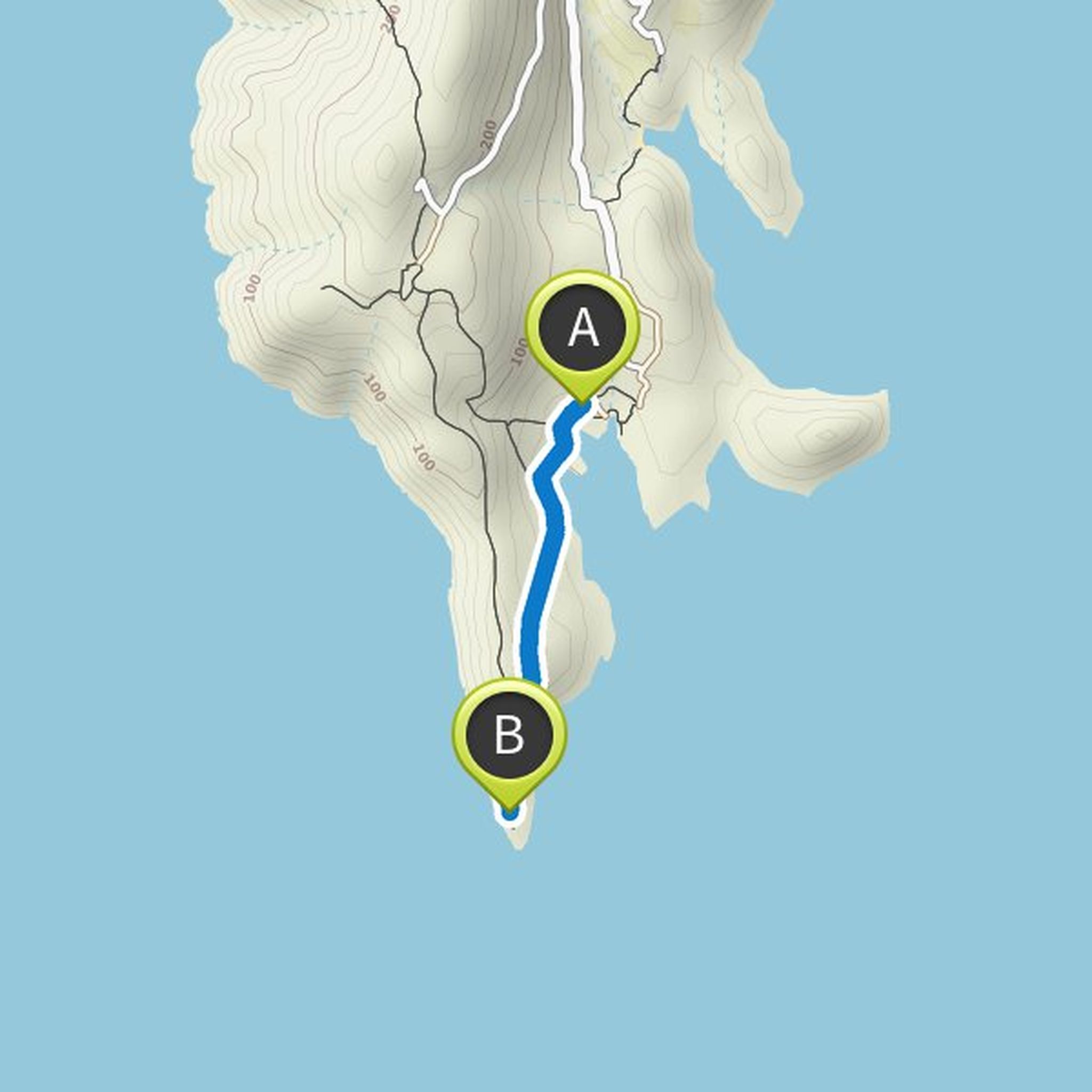
Map data © OpenStreetMap contributors
October 20, 2019
Easy hike to the Valbona waterfall. The first part leads you through the riverbed into the valley with great views on Thethi-Pass. Steadily uphill past the hamlet of Rrogam you reach the Café Emanueli which was closed End of April 2019. From there a path leads straight on to the waterfall. If you turn