Timeline
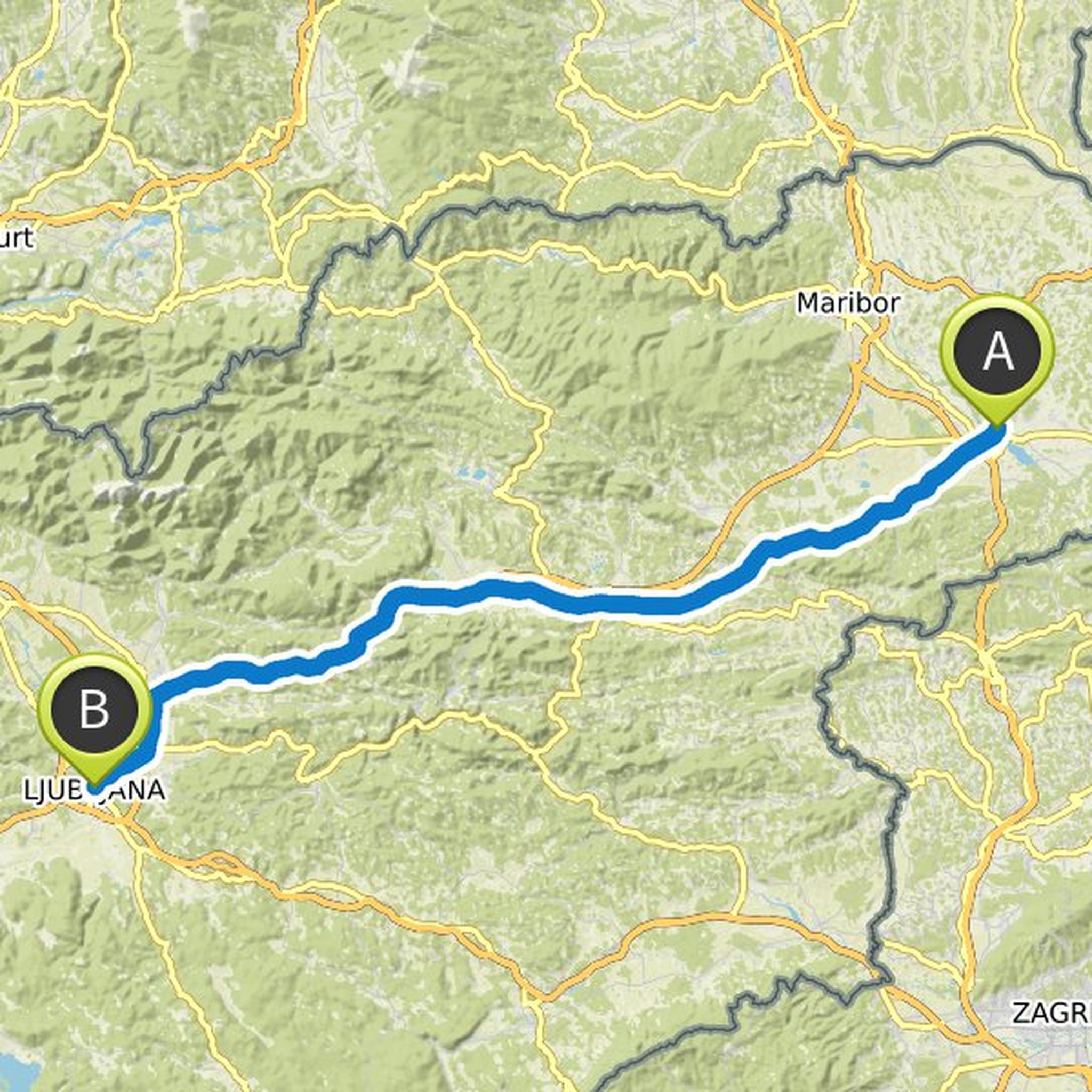
Luka Medic and Mitja Vodnik planned a road ride
September 11, 2020
Time
Distance
Speed
Ascent
Descent

Luka Medic and Mitja Vodnik planned a road ride
September 10, 2019
Time
Distance
Speed
Ascent
Descent

September 10, 2019
Ljubljana
Local log (right at Prit hydraulics, then at Iskra left)
Outer hill (in front of the railway left)
Inland hills
Podpeč (right towards Borovnica)
Blueberries
Vrhnika
Logatec (at Pejjak Bakery left, straight in the roundabout for Rakek)
Laze (turn to Planina, then again before the church to the right
Translated by Google •
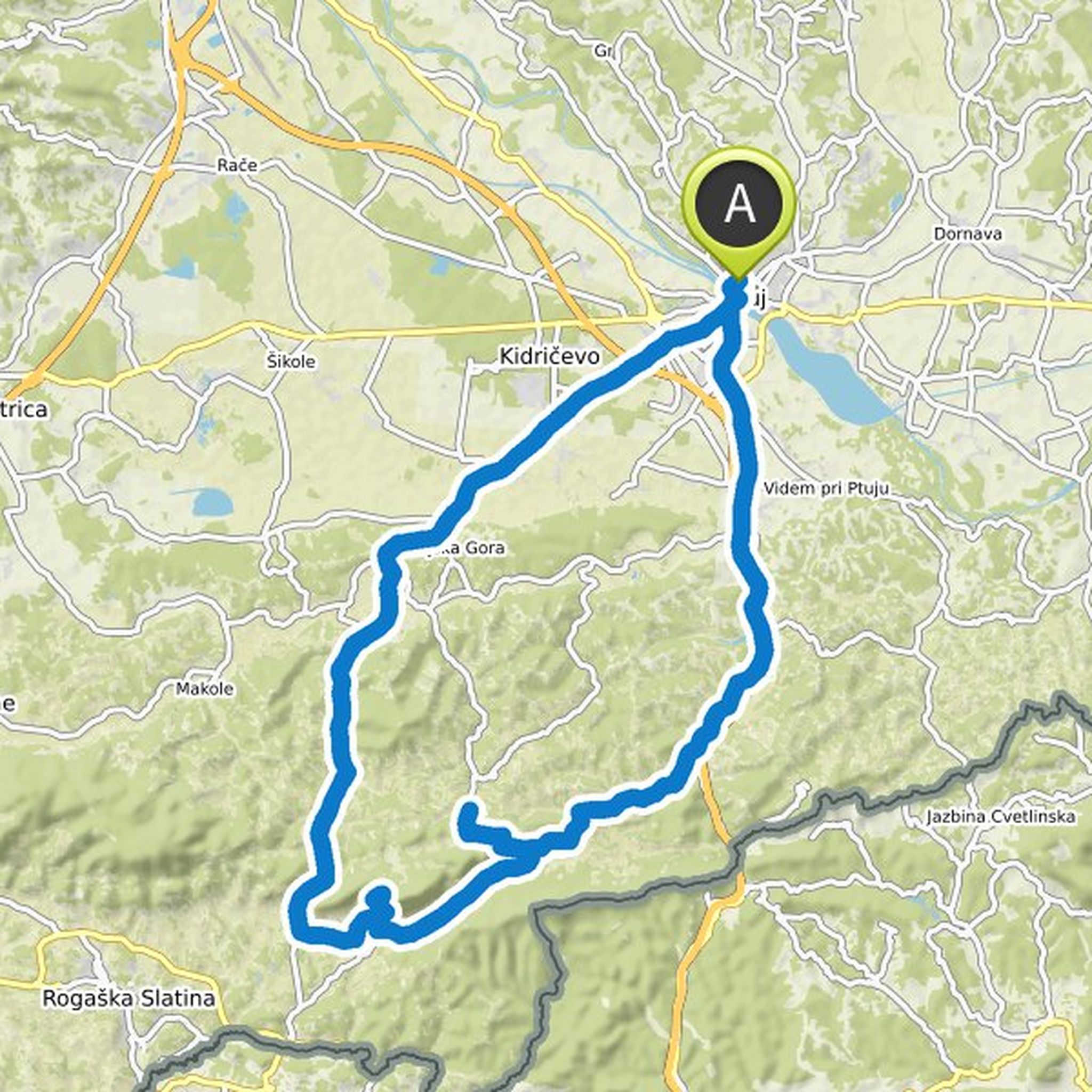
Luka Medic planned a road ride
September 10, 2019
Time
Distance
Speed
Ascent
Descent
September 10, 2019
Ptuj
Majšperk
Makole
Lower Poland (at the chapel left)
Jogs (left for Ponikvo)
Celje (past Spara, left for Lj)
Vransko
Trojans
Domžale (left after Lidl, left again at the next big intersection)
Podgorica
Ljubljana
Translated by Google •
Luka Medic and Kristof planned a hike
August 31, 2019
Time
Distance
Speed
Ascent
Descent

Luka Medic and others planned a hike
August 23, 2019
Time
Distance
Speed
Ascent
Descent

Luka Medic planned a road ride
August 14, 2019
Time
Distance
Speed
Ascent
Descent

Luka Medic planned a road ride
July 21, 2019
Time
Distance
Speed
Ascent
Descent
Luka Medic planned a road ride
July 21, 2019
Time
Distance
Speed
Ascent
Descent

Luka Medic planned a road ride
July 19, 2019
Time
Distance
Speed
Ascent
Descent
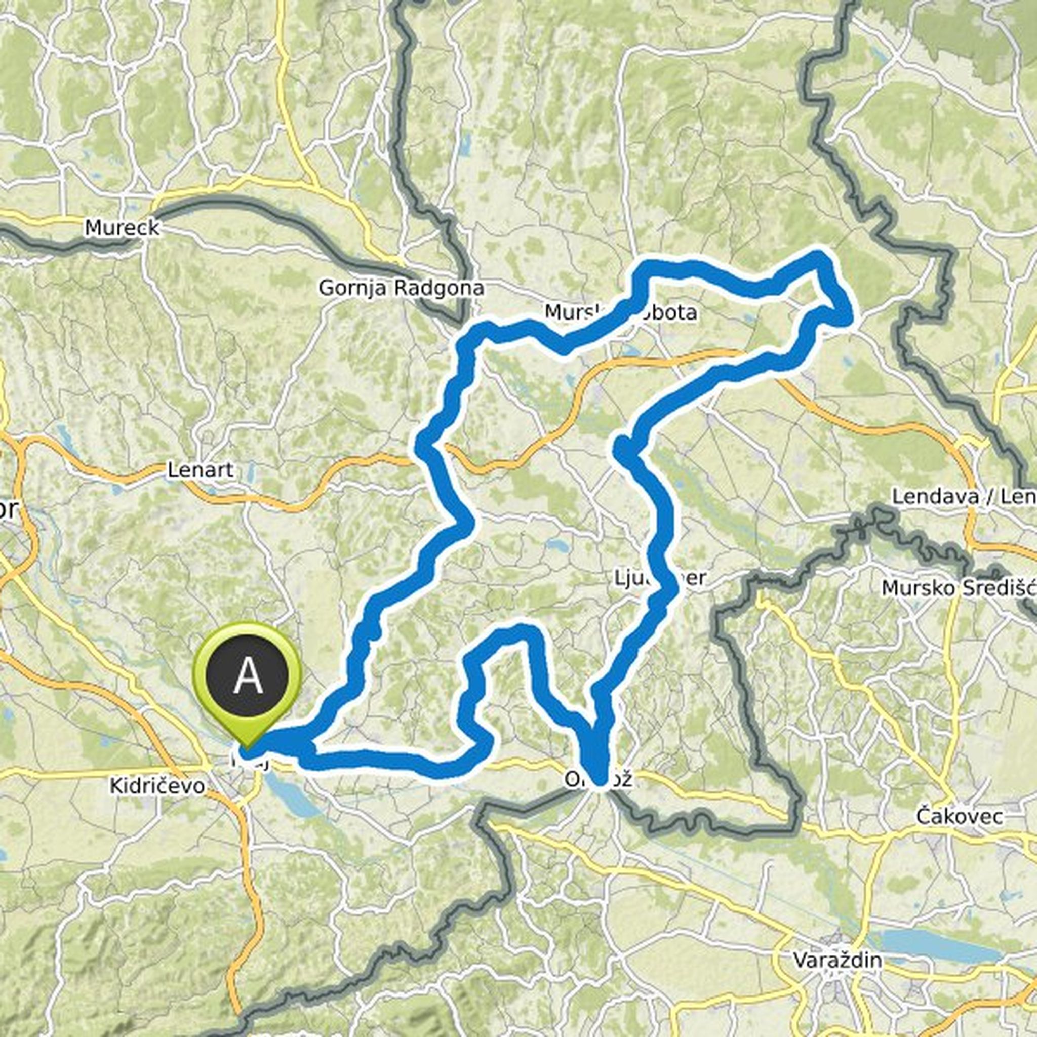
September 11, 2020
This is a little different than I js planned 🤔
Translated by Google •