Timeline
Christoph planned a hike
January 4, 2024
Time
3h03m
Distance
10.3km
Speed
3.4km/h
Ascent
310m
Descent
310m
Map data © OpenStreetMap contributors
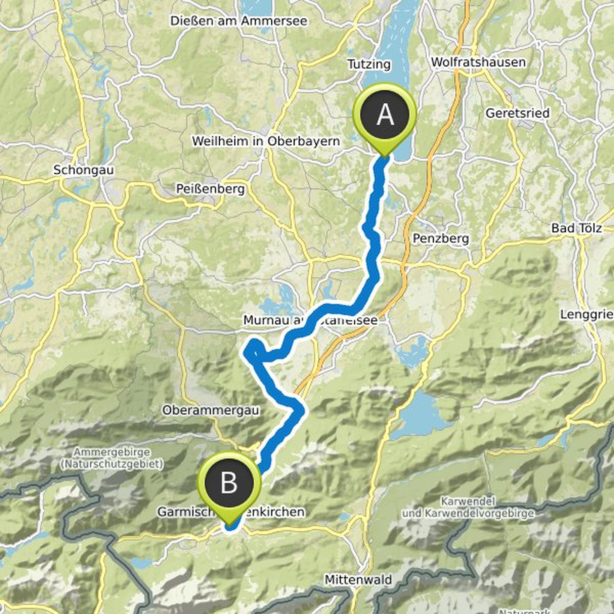
Christoph planned a hike
January 4, 2024
Time
3h49m
Distance
12.9km
Speed
3.4km/h
Ascent
370m
Descent
370m
Map data © OpenStreetMap contributors
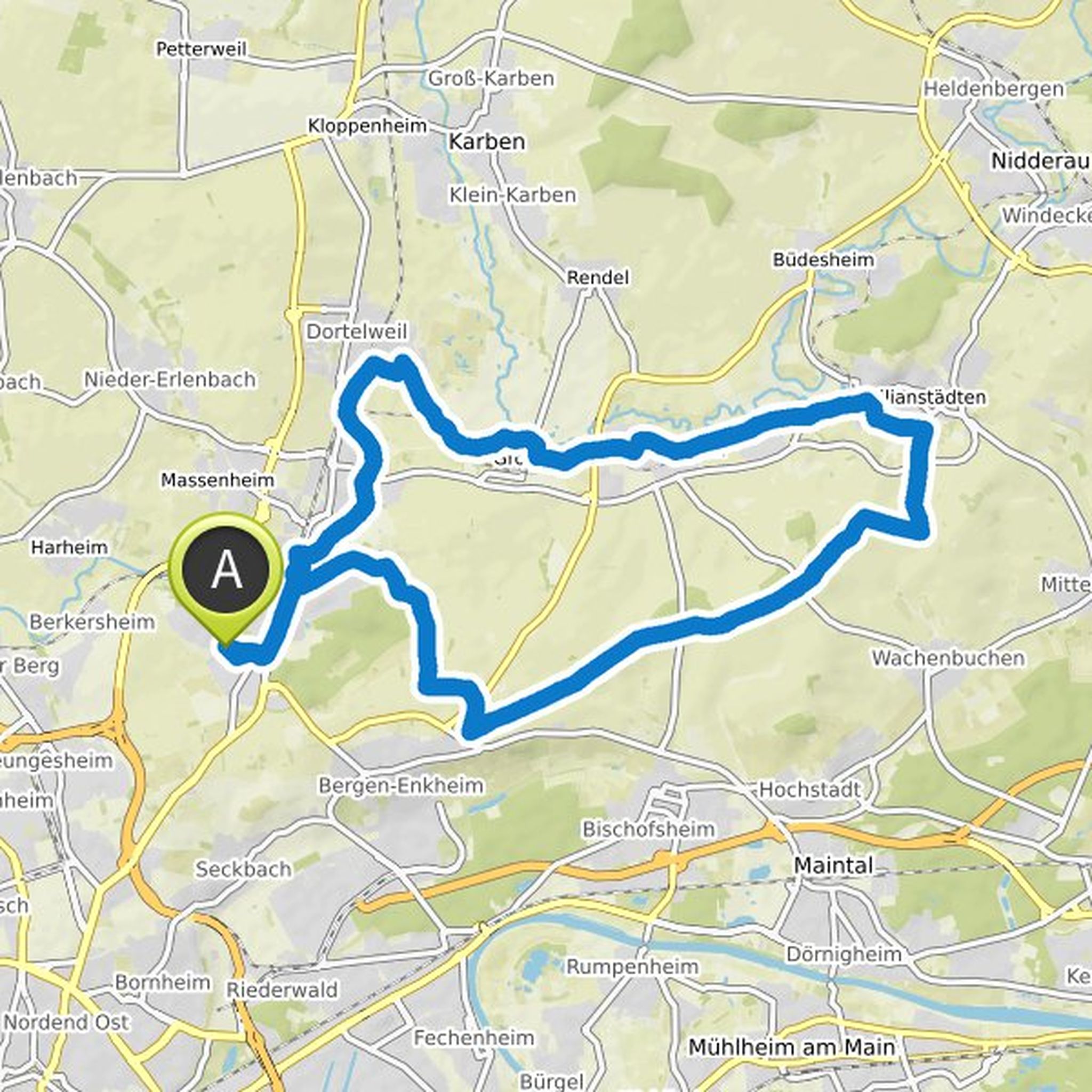
Christoph planned a bike ride
October 22, 2020
Time
2h00m
Distance
31.7km
Speed
15.9km/h
Ascent
240m
Descent
240m
Map data © OpenStreetMap contributors
Time
3h19m
Distance
46.2km
Speed
13.9km/h
Ascent
110m
Descent
190m
Map data © OpenStreetMap contributors
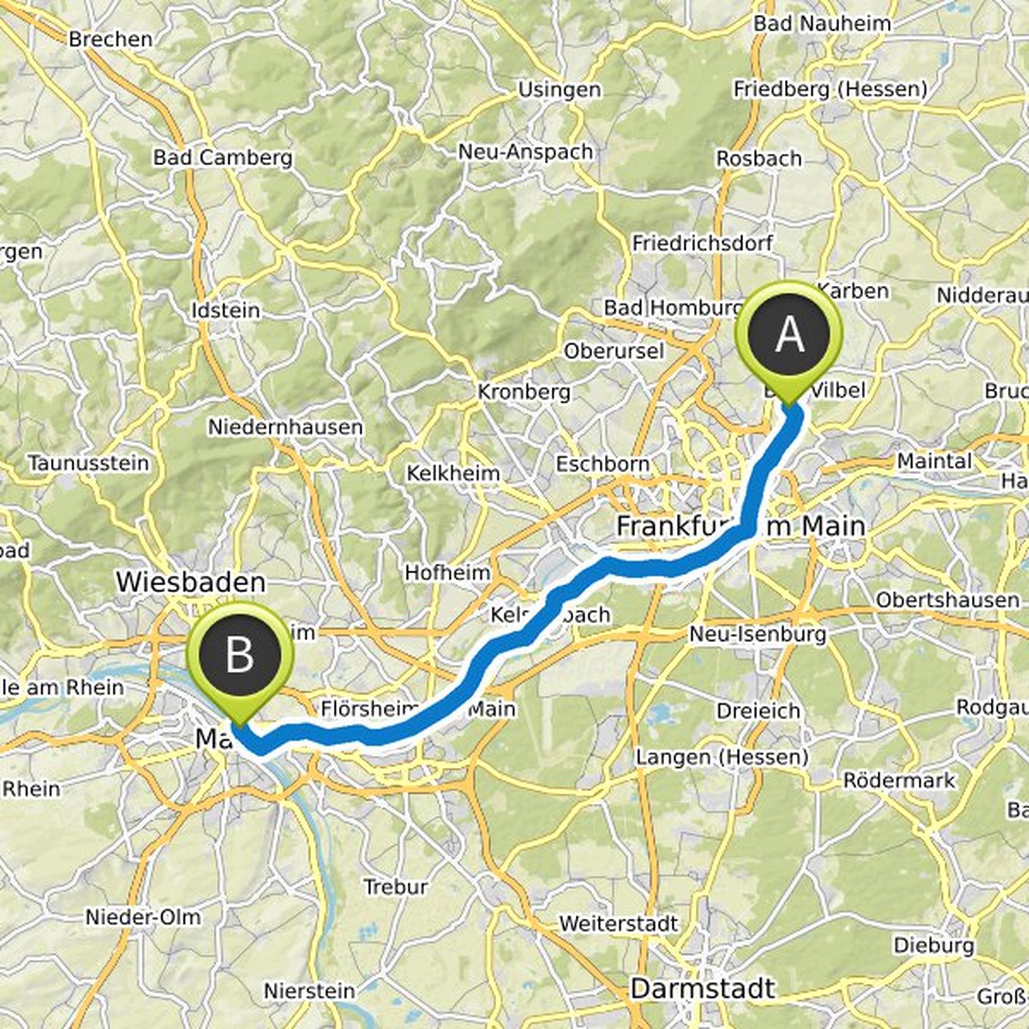
Christoph planned a road ride
September 11, 2020
Time
1h39m
Distance
33.5km
Speed
20.4km/h
Ascent
190m
Descent
190m
Map data © OpenStreetMap contributors
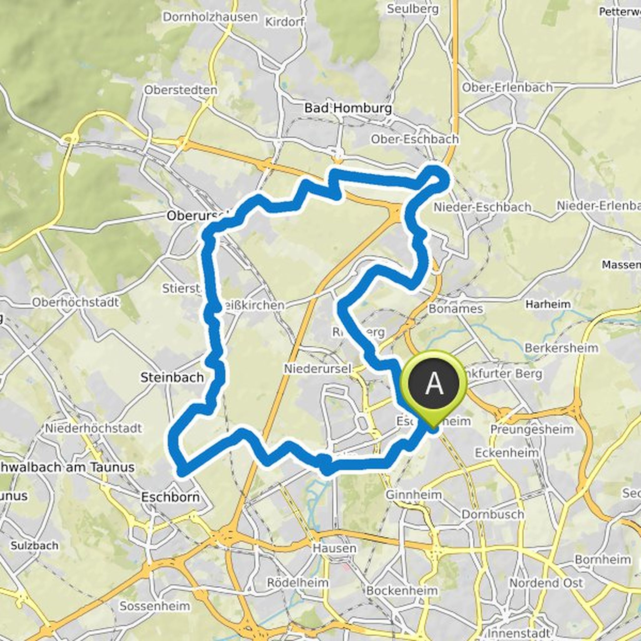
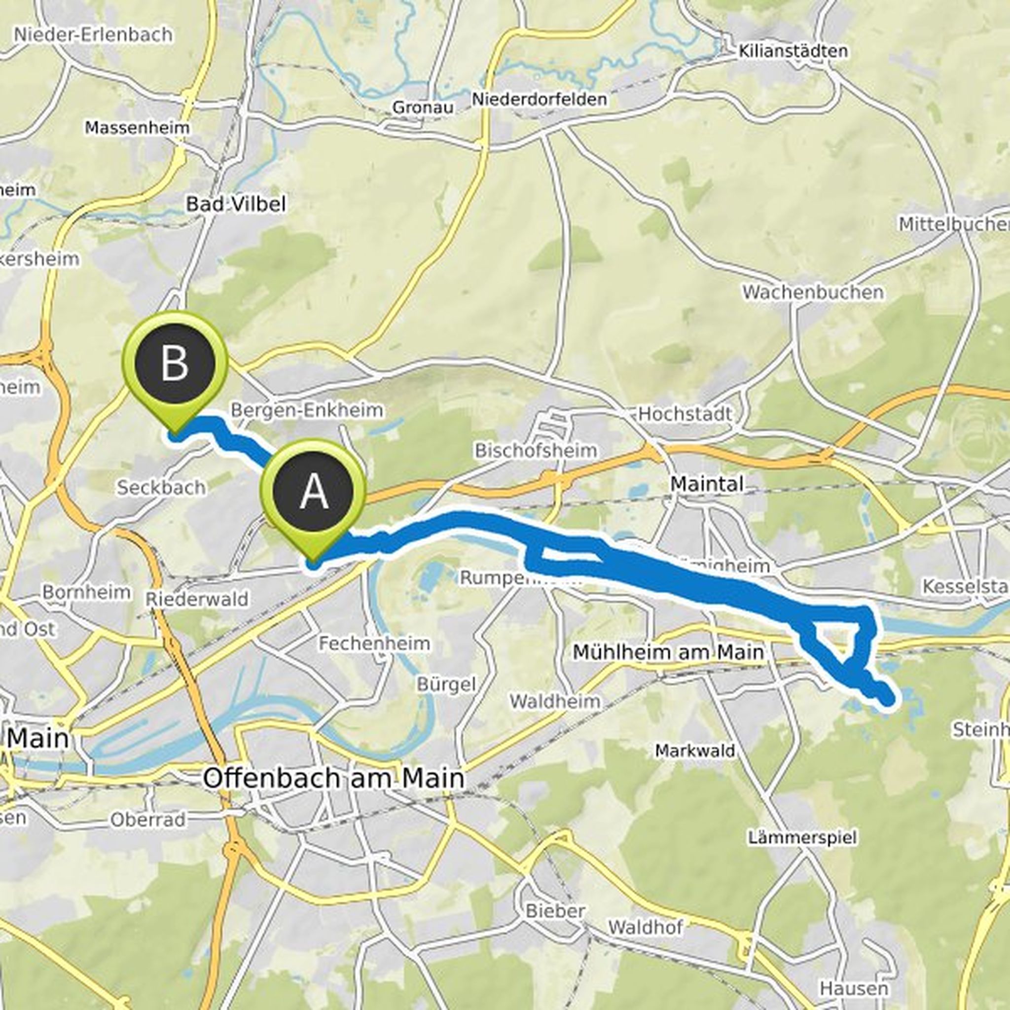
Christoph planned a bike ride
September 10, 2020
Time
1h57m
Distance
30.7km
Speed
15.7km/h
Ascent
140m
Descent
140m
Map data © OpenStreetMap contributors
Time
4h49m
Distance
59.2km
Speed
12.3km/h
Ascent
480m
Descent
370m
Map data © OpenStreetMap contributors
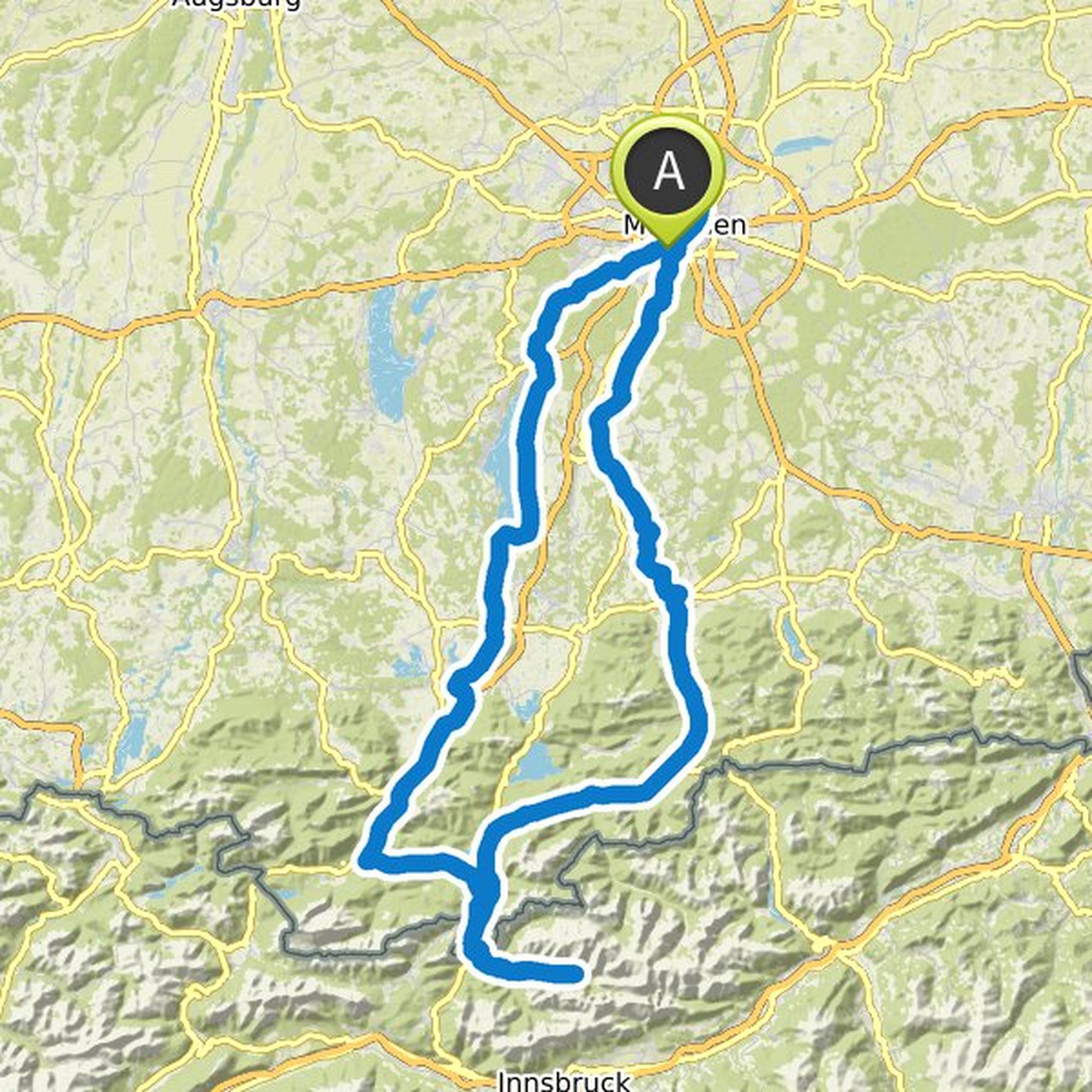
Christoph planned a bike ride
August 11, 2020
Time
21h58m
Distance
276km
Speed
12.6km/h
Ascent
2,020m
Descent
2,040m
Map data © OpenStreetMap contributors
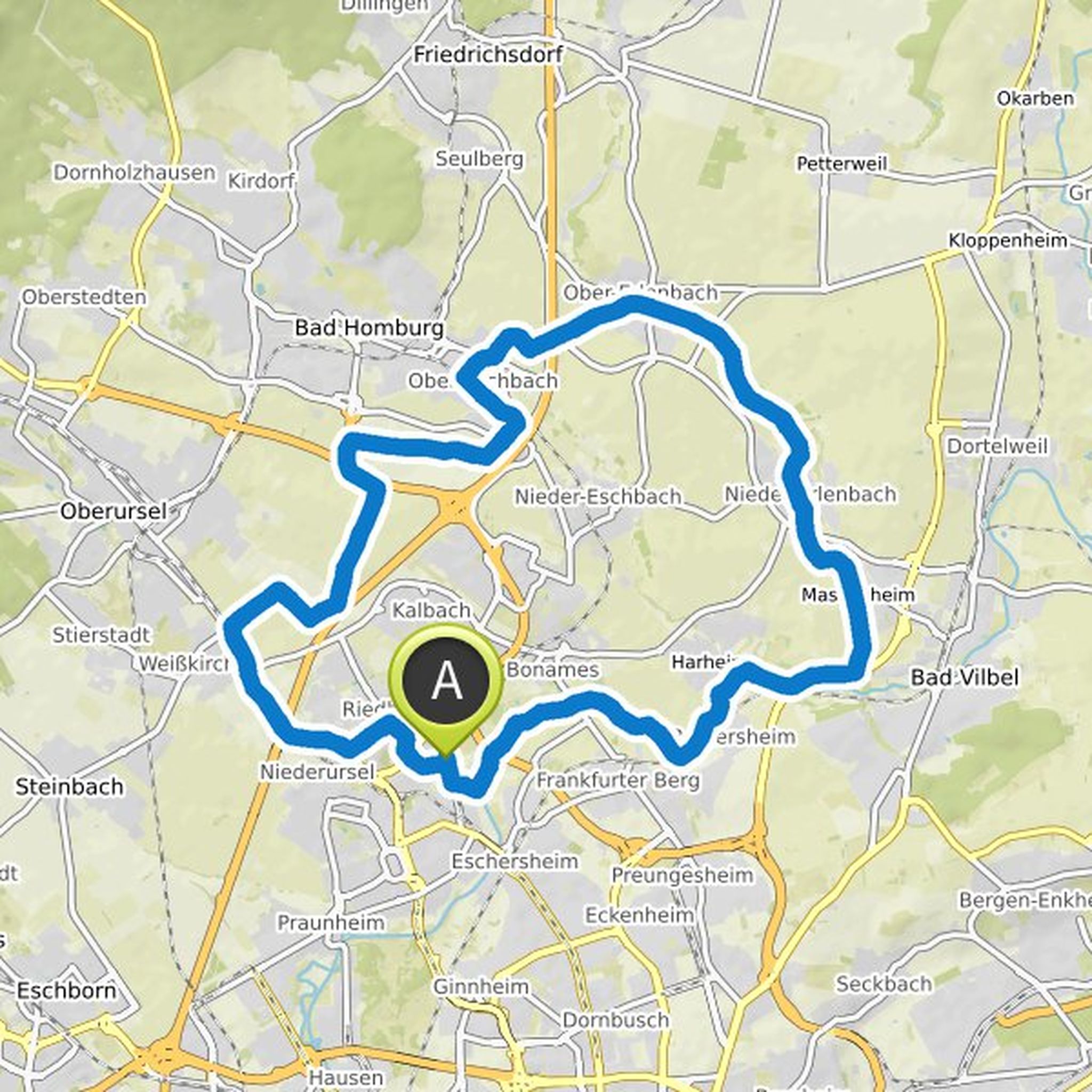
Christoph and others planned an e-bike ride
June 8, 2020
Time
1h43m
Distance
24.9km
Speed
14.6km/h
Ascent
130m
Descent
60m
Map data © OpenStreetMap contributors
August 11, 2020
this is the first serving suggestion
Suggestions for corrections are welcome
Translated by Google •