Timeline
Markus Poppeler and Kathrin planned a hike
June 11, 2020
Time
6h23m
Distance
12.2km
Speed
1.9km/h
Ascent
1,150m
Descent
1,140m
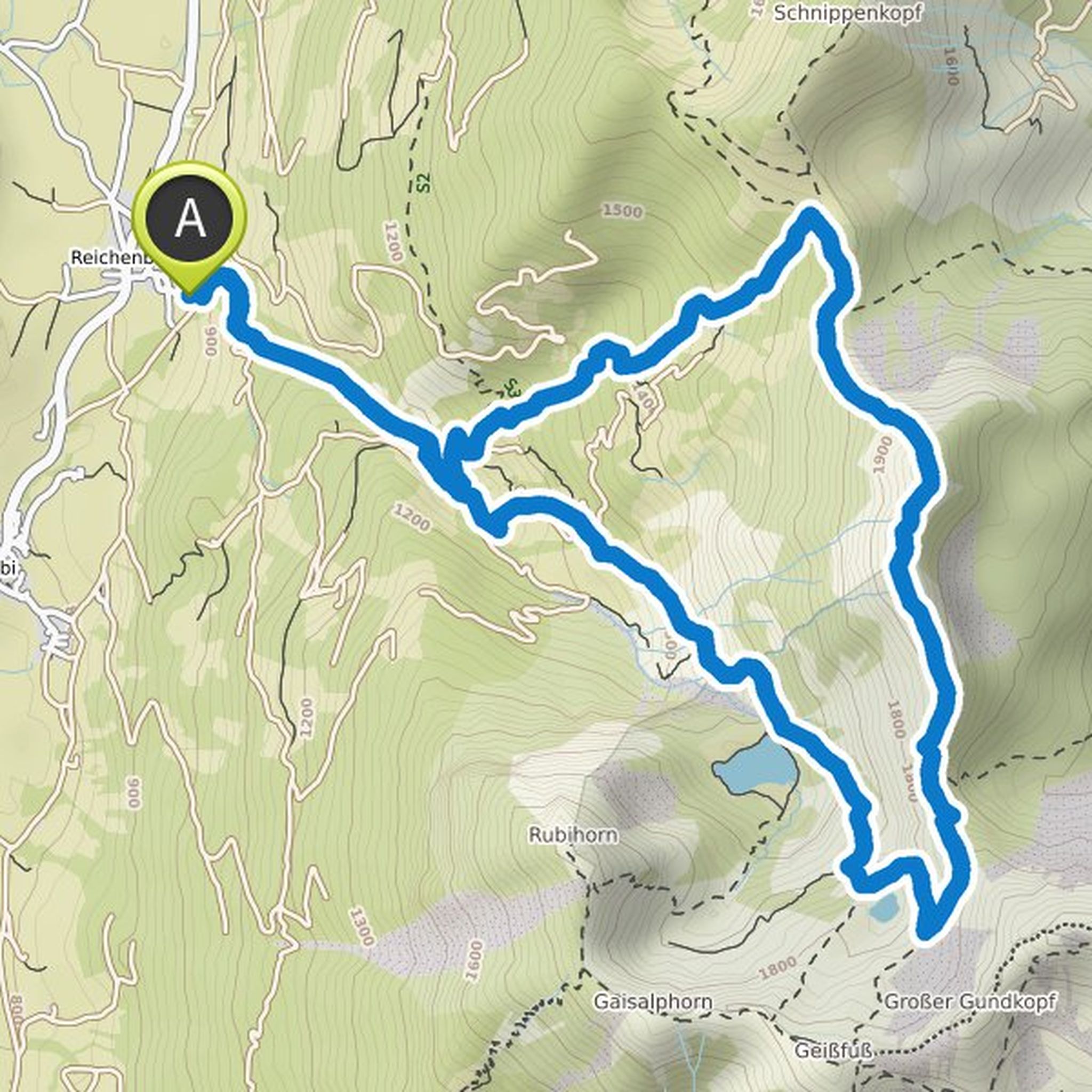
Map data © OpenStreetMap contributors
Markus Poppeler and Kathrin planned a bike ride
October 12, 2019
Time
1h42m
Distance
11.4km
Speed
6.7km/h
Ascent
790m
Descent
470m
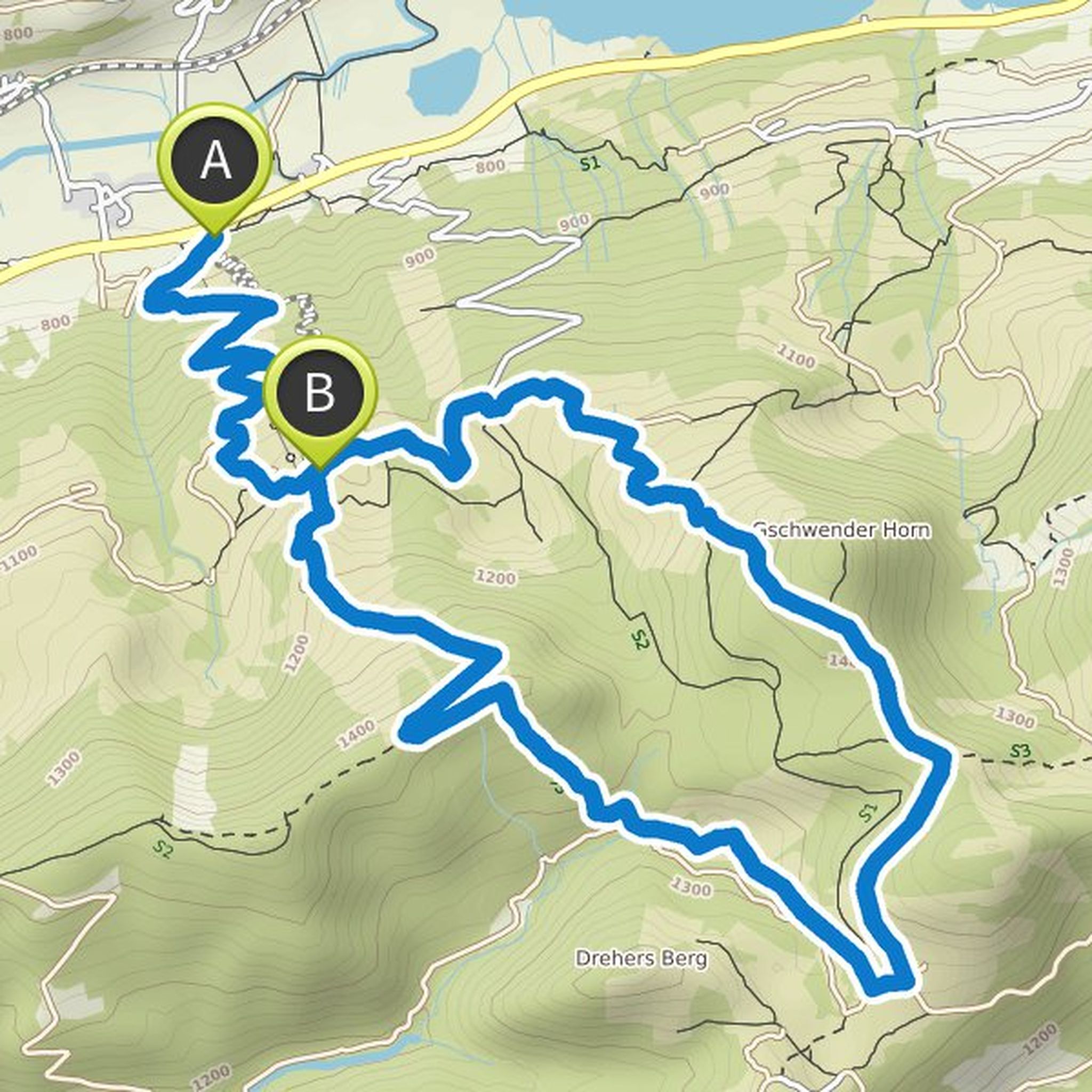
Map data © OpenStreetMap contributors
Markus Poppeler and Kathrin planned a hike
July 3, 2019
Time
5h59m
Distance
11.5km
Speed
1.9km/h
Ascent
1,060m
Descent
1,060m
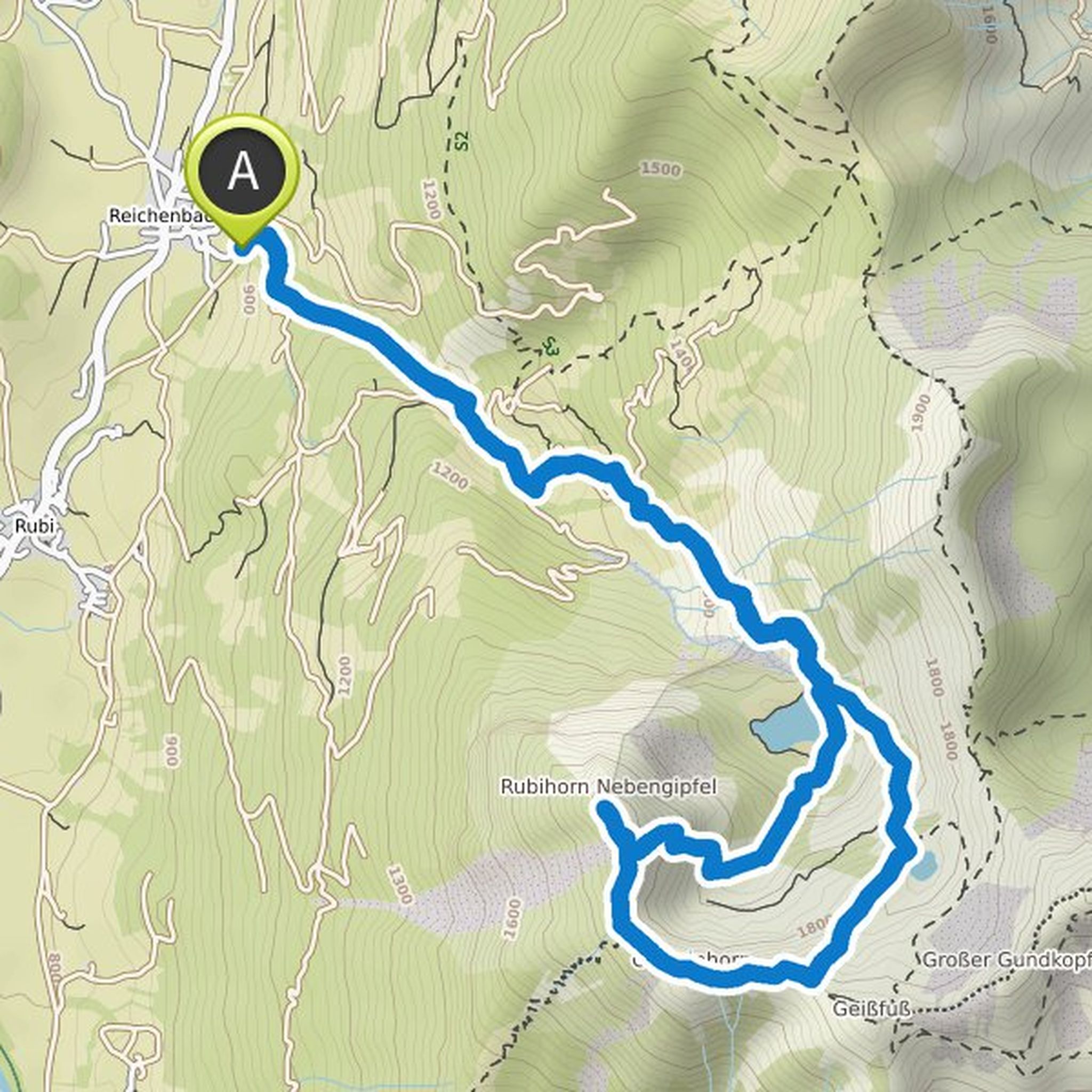
Map data © OpenStreetMap contributors
Björn von Bergparadiese and others planned a mountaineering activity
August 7, 2014
Time
3h00m
Distance
7.77km
Speed
2.6km/h
Ascent
970m
Descent
50m

Map data © OpenStreetMap contributors
Klaus Albrecht, EDITION ALLGÄU, and others like this.
August 7, 2014
The tour to the 1813m high Schrecksee is not necessarily one of the most demanding tours in the Allgäu. Nevertheless, it requires a certain level of fitness. Well worth the effort: a blue-green shimmering diamond in the middle of the Allgäu Alps.
More information about the tour is available here: bergparadiese.de/bergtouren/schrecksee-1813m
Translated by Google •