Timeline
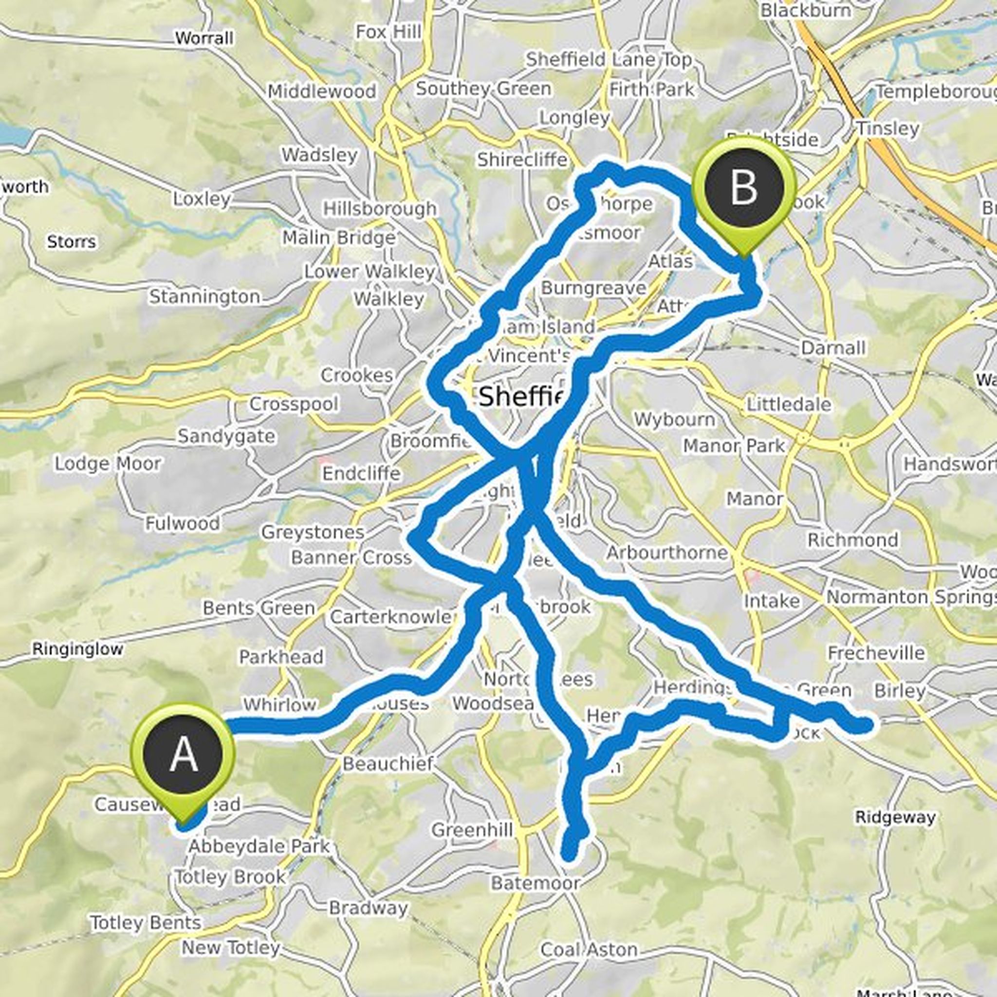
Andydgg planned a mountain bike ride
July 16, 2020
Time
0h27m
Distance
6.32km
Speed
13.8km/h
Ascent
160m
Descent
120m
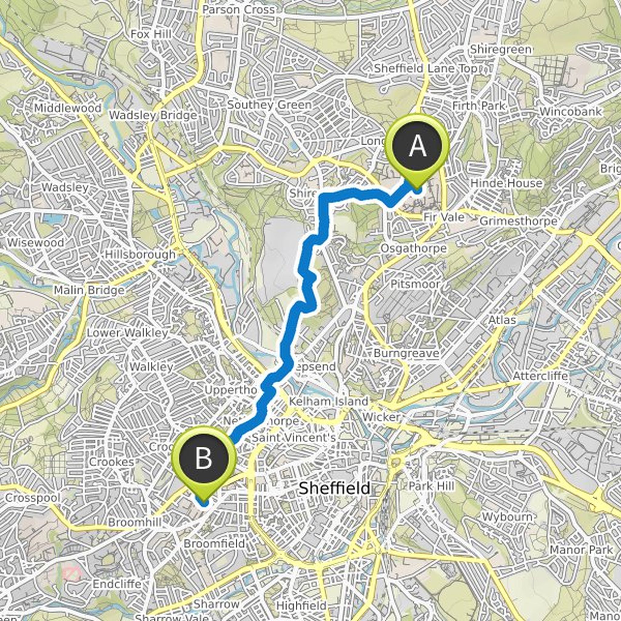
Map data © OpenStreetMap contributors
Time
7h39m
Distance
73.5km
Speed
9.6km/h
Ascent
1,240m
Descent
1,250m
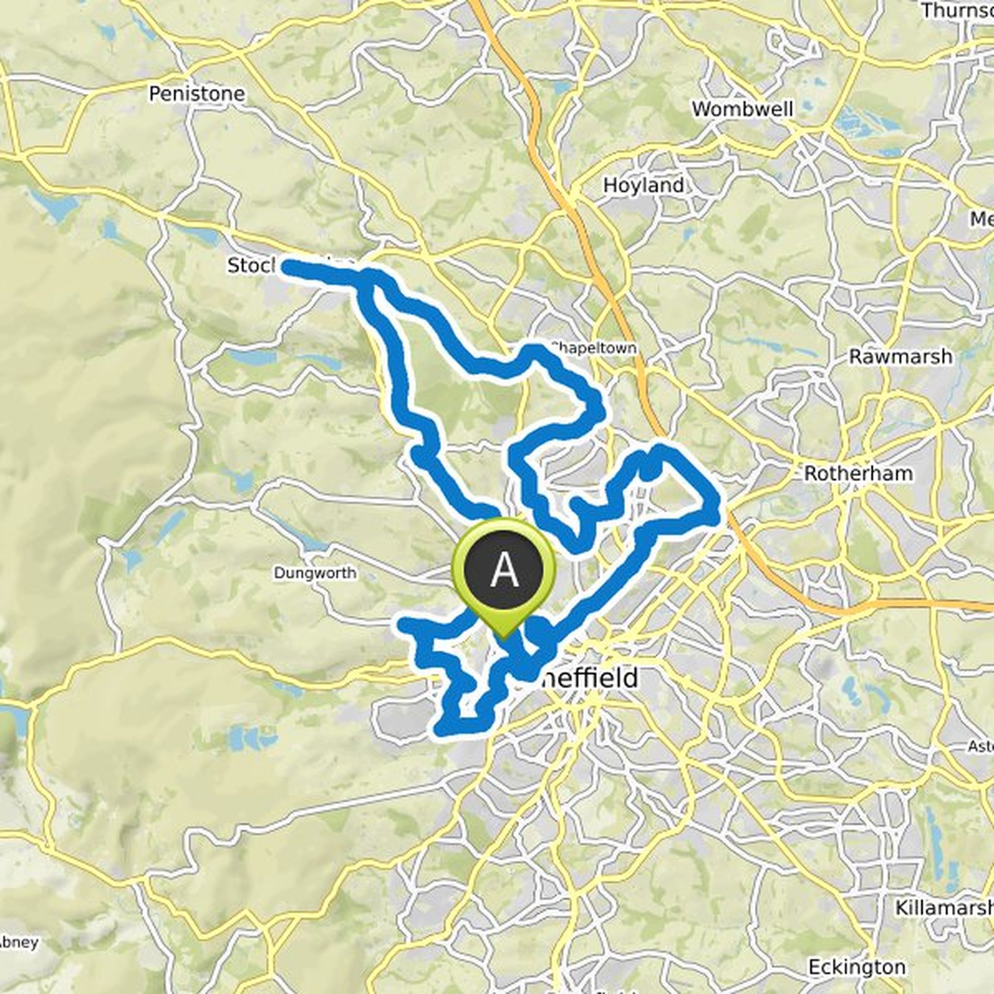
Map data © OpenStreetMap contributors
Jo Maher likes this.
Andydgg and others planned a bike ride
June 4, 2020
Time
7h56m
Distance
85.9km
Speed
10.8km/h
Ascent
1,090m
Descent
1,090m
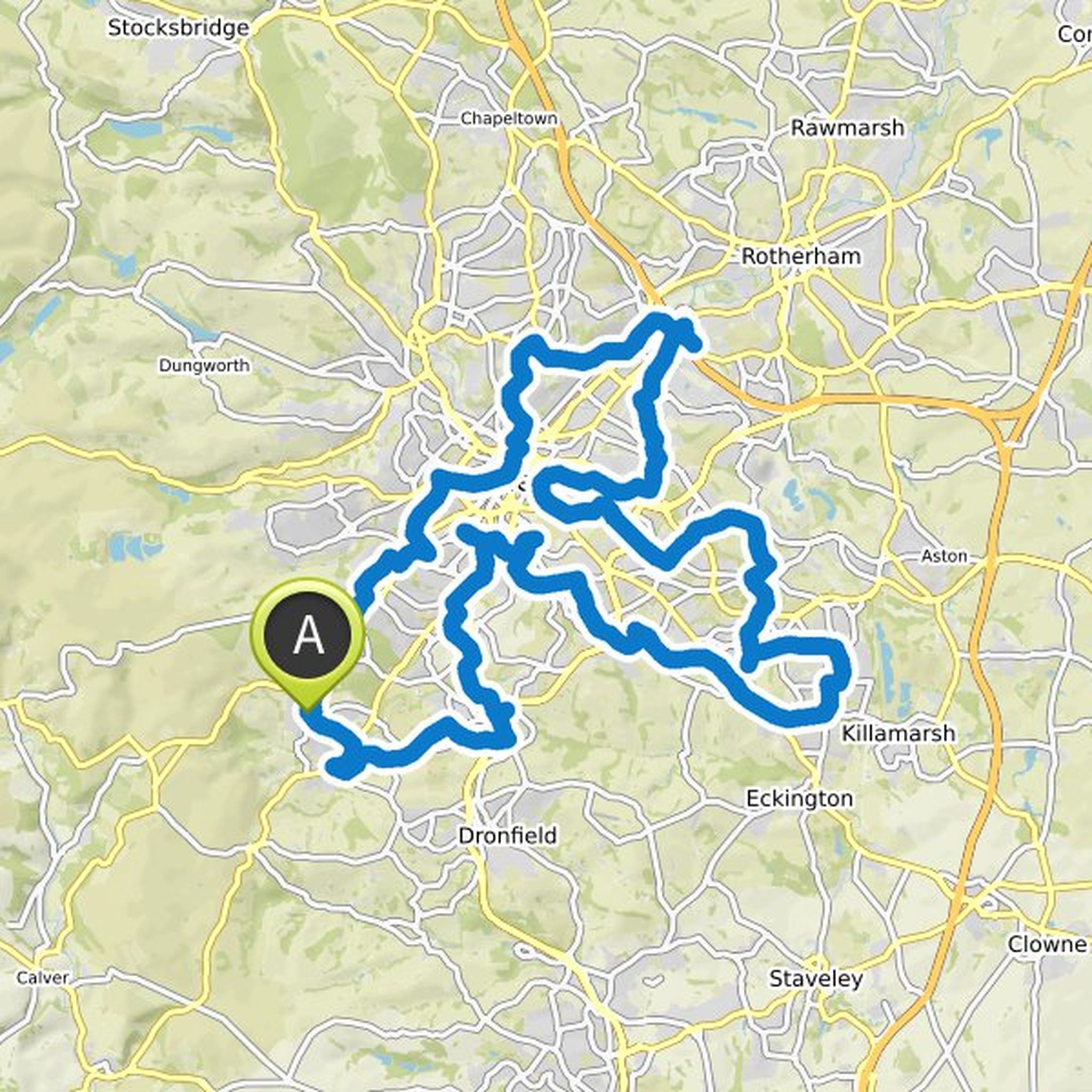
Map data © OpenStreetMap contributors
June 4, 2020
Meet Jo at SCH/NGH/RHH.
Keep wincobank on Jos NORTH route
July 16, 2020
The section of downhill bridleway after Parkwood springs along the side of the old ski village is steep and I would advise avoid that unless you are at least an intermediate standard on a mountain bike. An alternative it to walk that section, or bypass using Rutland road