Timeline
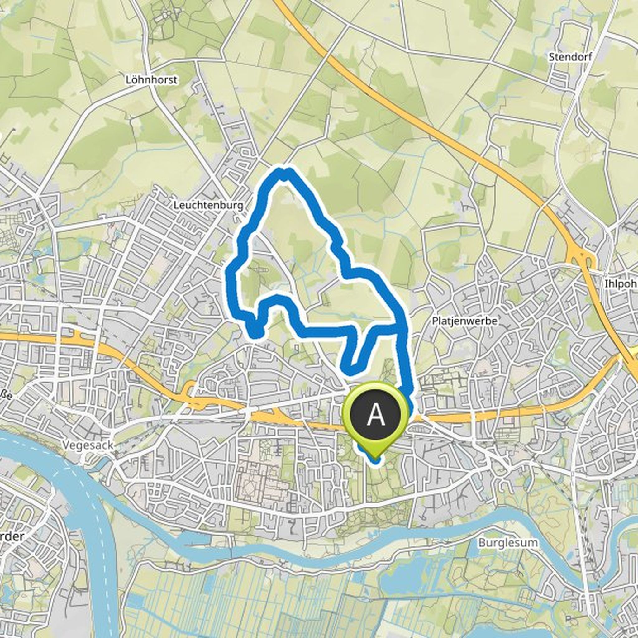
Tina Mlinarsky planned a hike
April 12, 2022
Time
Distance
Speed
Ascent
Descent
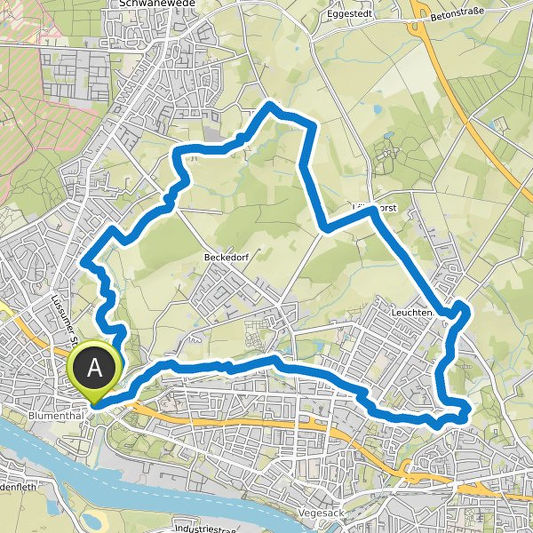
Tina Mlinarsky planned a hike
April 12, 2022
Time
Distance
Speed
Ascent
Descent
Tina Mlinarsky planned a hike
February 26, 2022
Time
Distance
Speed
Ascent
Descent
Tina Mlinarsky planned a hike
February 26, 2022
Time
Distance
Speed
Ascent
Descent

Tina Mlinarsky planned a hike
January 28, 2022
Time
Distance
Speed
Ascent
Descent

Tina Mlinarsky planned a hike
January 28, 2022
Time
Distance
Speed
Ascent
Descent

Tina Mlinarsky planned a hike
January 28, 2022
Time
Distance
Speed
Ascent
Descent

Tina Mlinarsky planned a hike
January 28, 2022
Time
Distance
Speed
Ascent
Descent

Tina Mlinarsky planned a hike
January 28, 2022
Time
Distance
Speed
Ascent
Descent
Tina Mlinarsky planned a hike
January 28, 2022
Time
Distance
Speed
Ascent
Descent

Tina Mlinarsky planned a hike
January 28, 2022
Time
Distance
Speed
Ascent
Descent

Tina Mlinarsky planned a hike
June 4, 2020
Time
Distance
Speed
Ascent
Descent
