Timeline
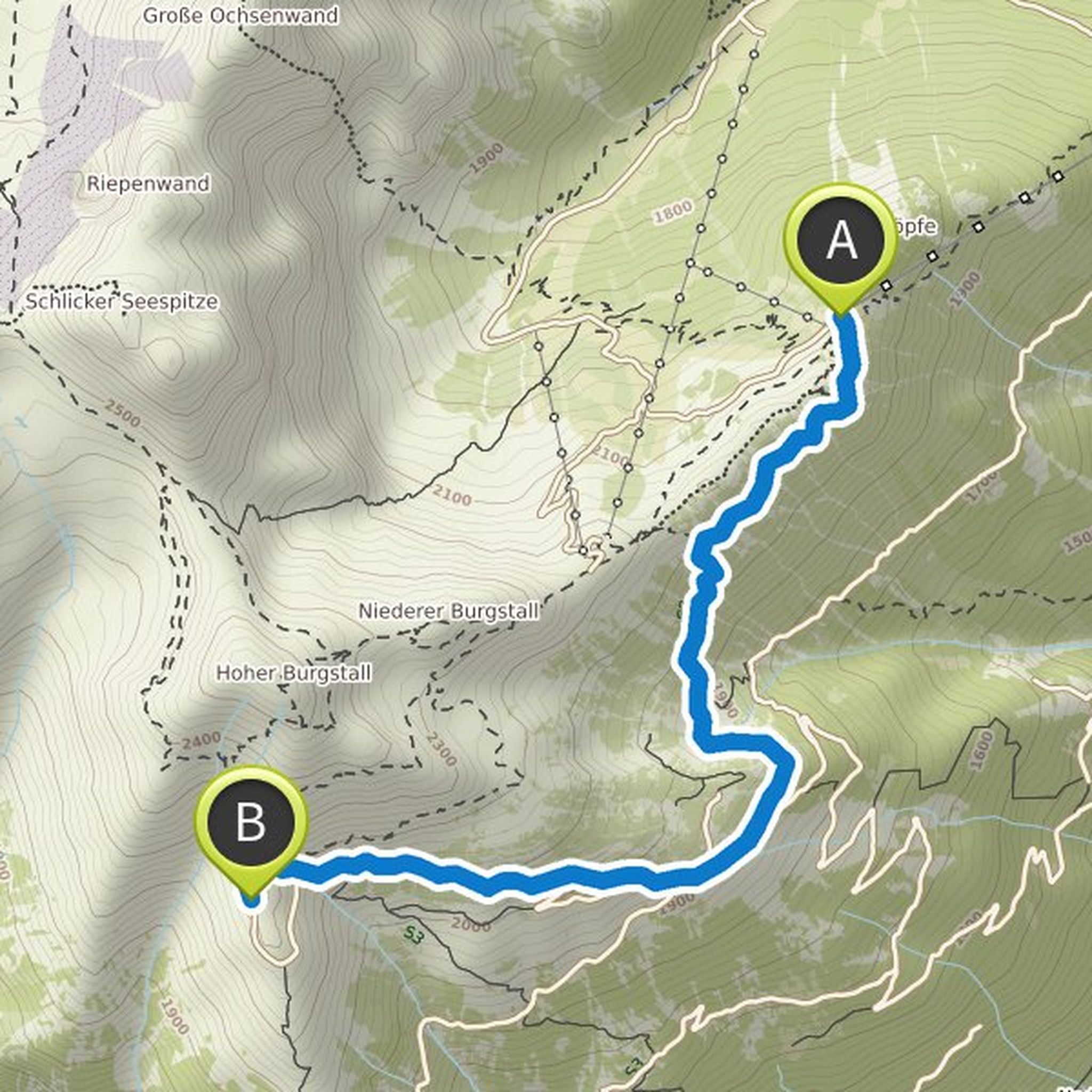
Anja Böhme planned a hike
September 19, 2022
Time
Distance
Speed
Ascent
Descent
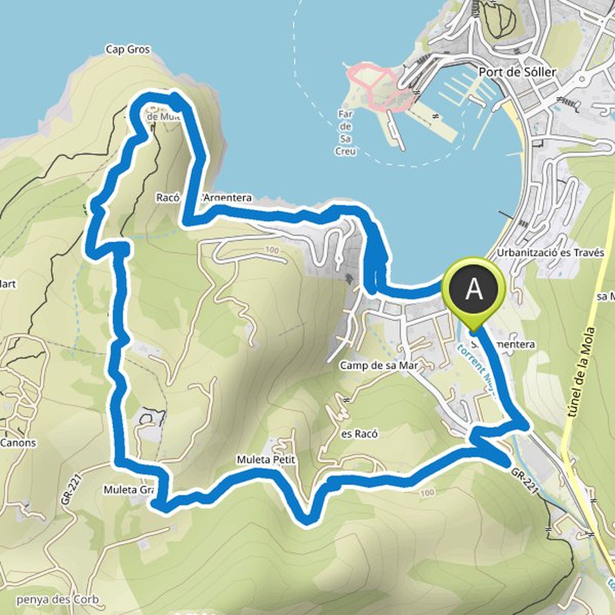
Anja Böhme planned a hike
September 19, 2022
Time
Distance
Speed
Ascent
Descent
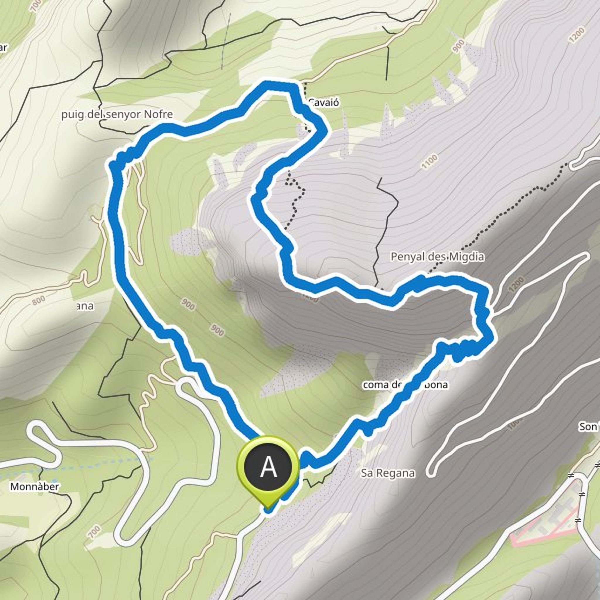
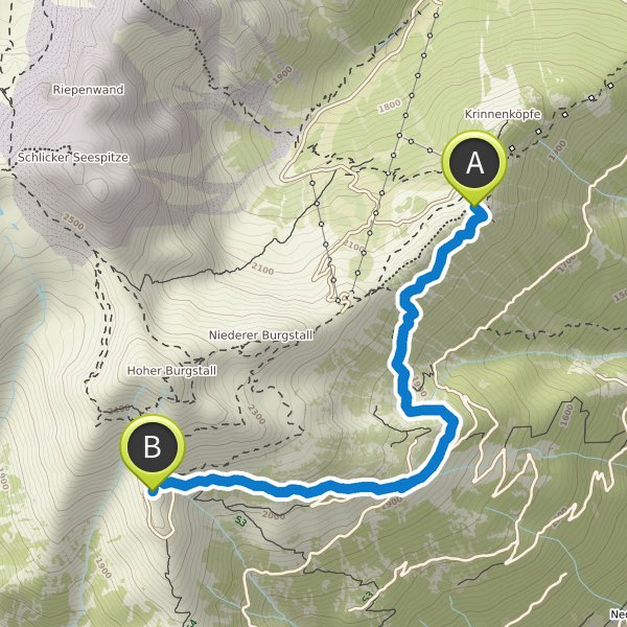
Anja Böhme planned a hike
September 15, 2022
Time
Distance
Speed
Ascent
Descent
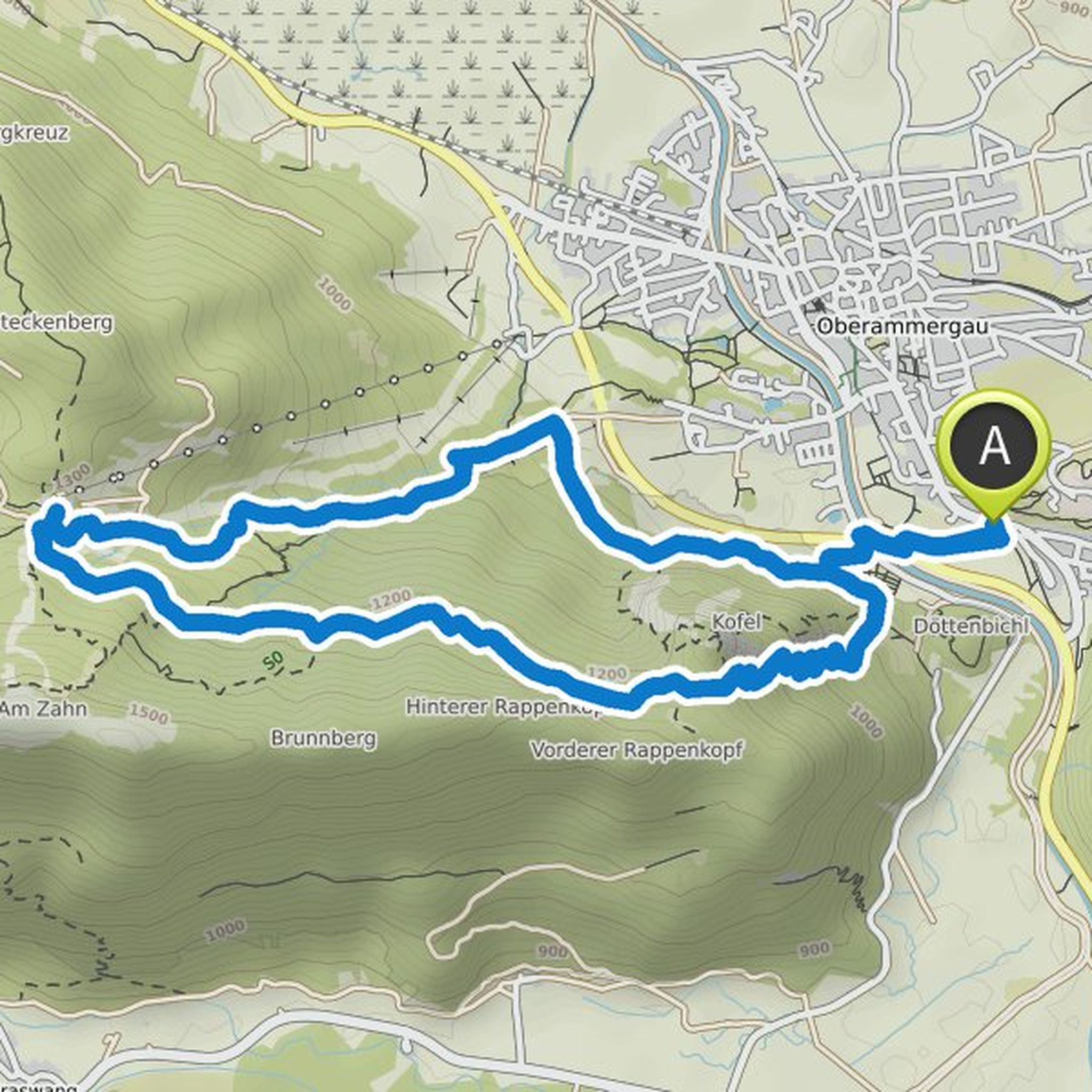
Anja Böhme planned a hike
June 9, 2022
Time
Distance
Speed
Ascent
Descent
Anja Böhme planned a hike
June 9, 2022
Time
Distance
Speed
Ascent
Descent
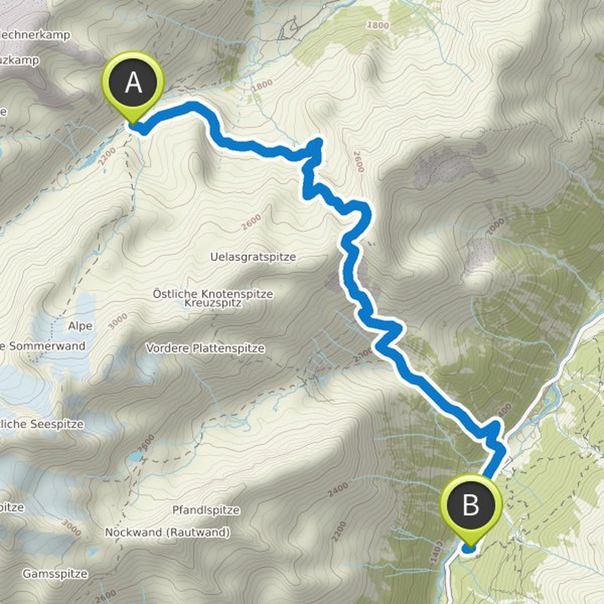
Anja Böhme planned a hike
June 8, 2022
Time
Distance
Speed
Ascent
Descent
Anja Böhme planned a hike
June 8, 2022
Time
Distance
Speed
Ascent
Descent
Anja Böhme planned a hike
June 8, 2022
Time
Distance
Speed
Ascent
Descent
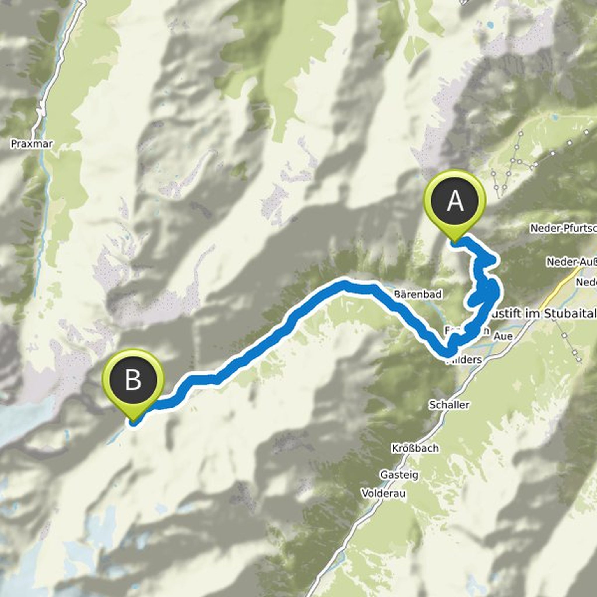
Anja Böhme planned a mountaineering activity
March 3, 2022
Time
Distance
Speed
Ascent
Descent
Anja Böhme planned a hike
March 3, 2022
Time
Distance
Speed
Ascent
Descent
Anja Böhme planned a hike
August 2, 2021
Time
Distance
Speed
Ascent
Descent
Anja Böhme planned a hike
August 3, 2020
Time
Distance
Speed
Ascent
Descent
Anja Böhme planned a hike
August 3, 2020
Time
Distance
Speed
Ascent
Descent
Anja Böhme planned a hike
June 23, 2019
Time
Distance
Speed
Ascent
Descent
Anja Böhme planned a hike
June 23, 2019
Time
Distance
Speed
Ascent
Descent