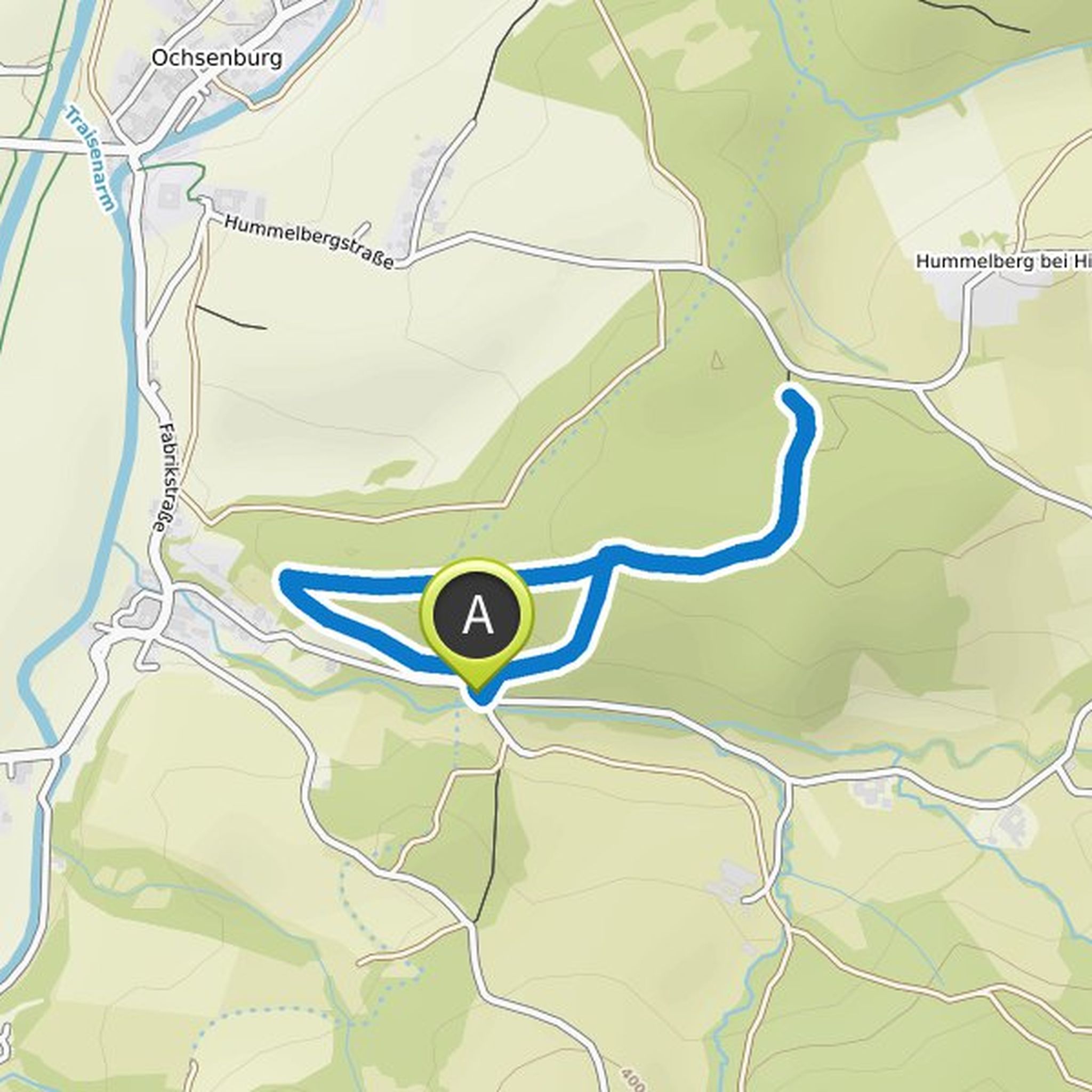
Timeline
Waldbaden mit Hund planned a hike
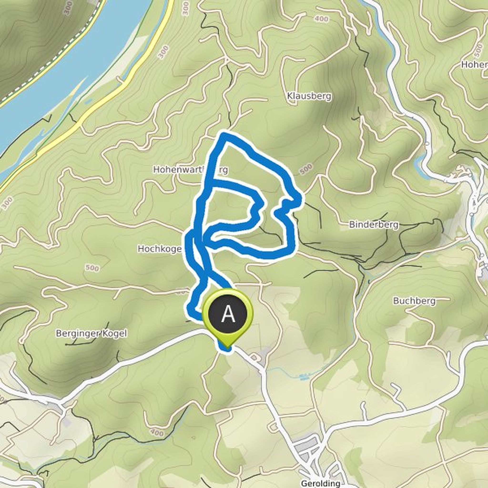
September 9, 2023
Time
Distance
Speed
Ascent
Descent
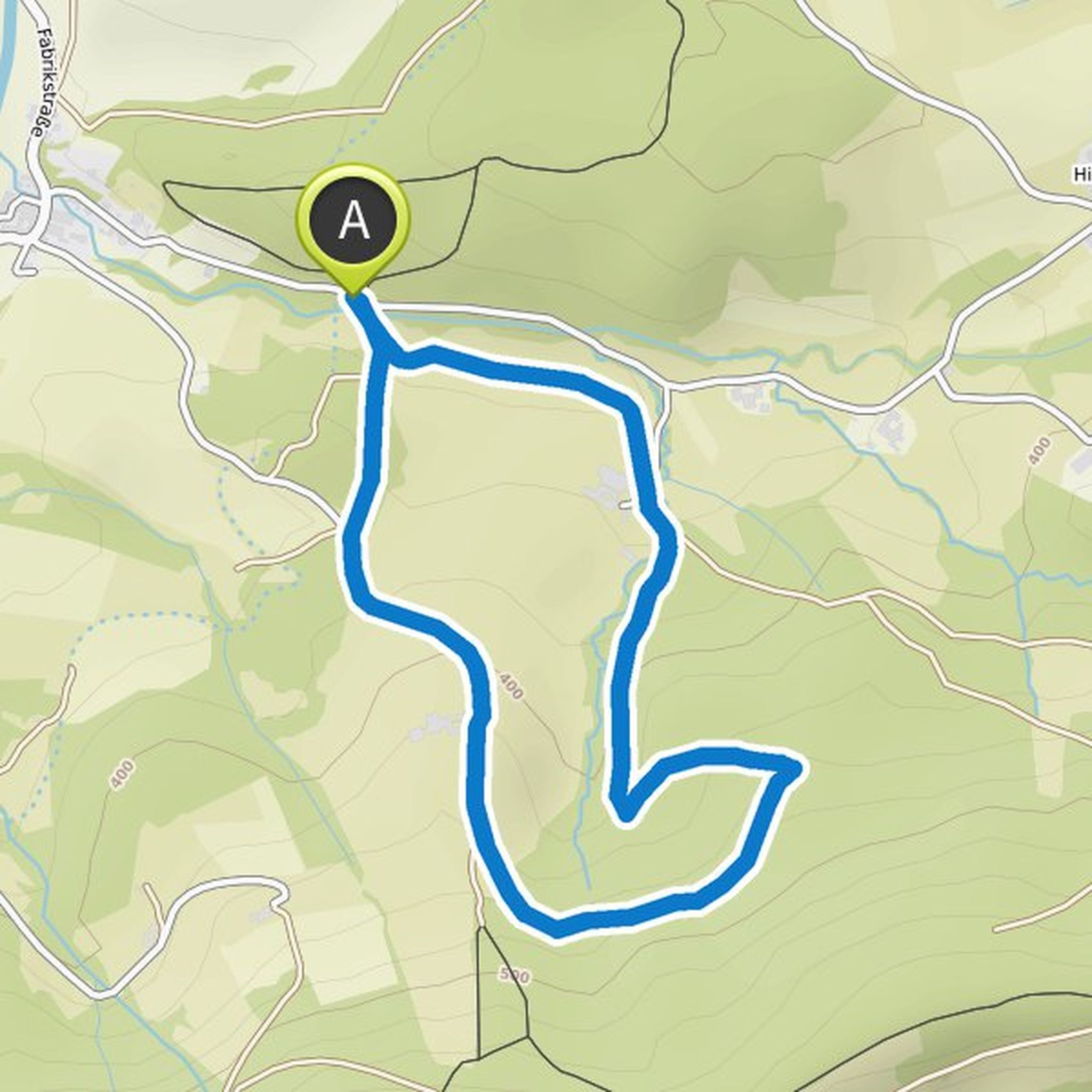
Waldbaden mit Hund planned a hike
April 17, 2022
Time
Distance
Speed
Ascent
Descent
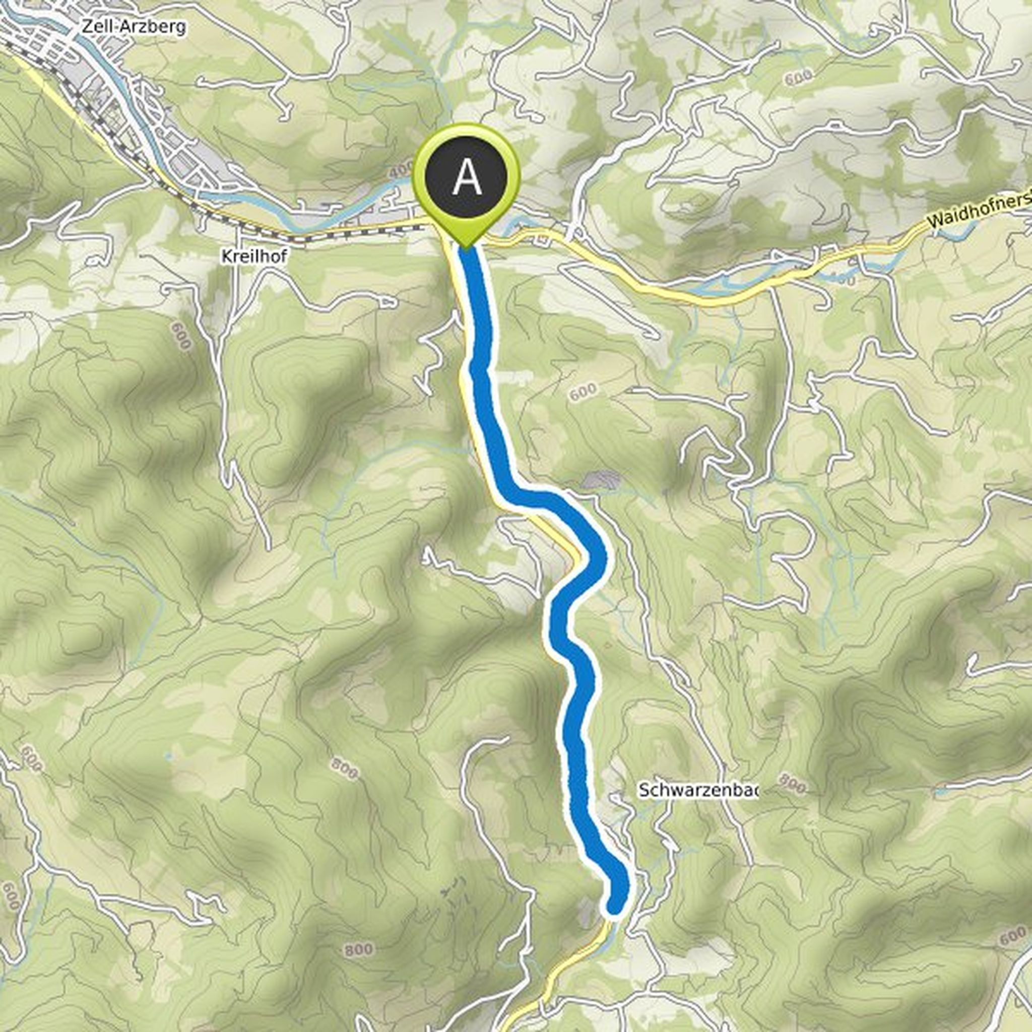
Waldbaden mit Hund planned a hike
February 6, 2022
Time
Distance
Speed
Ascent
Descent
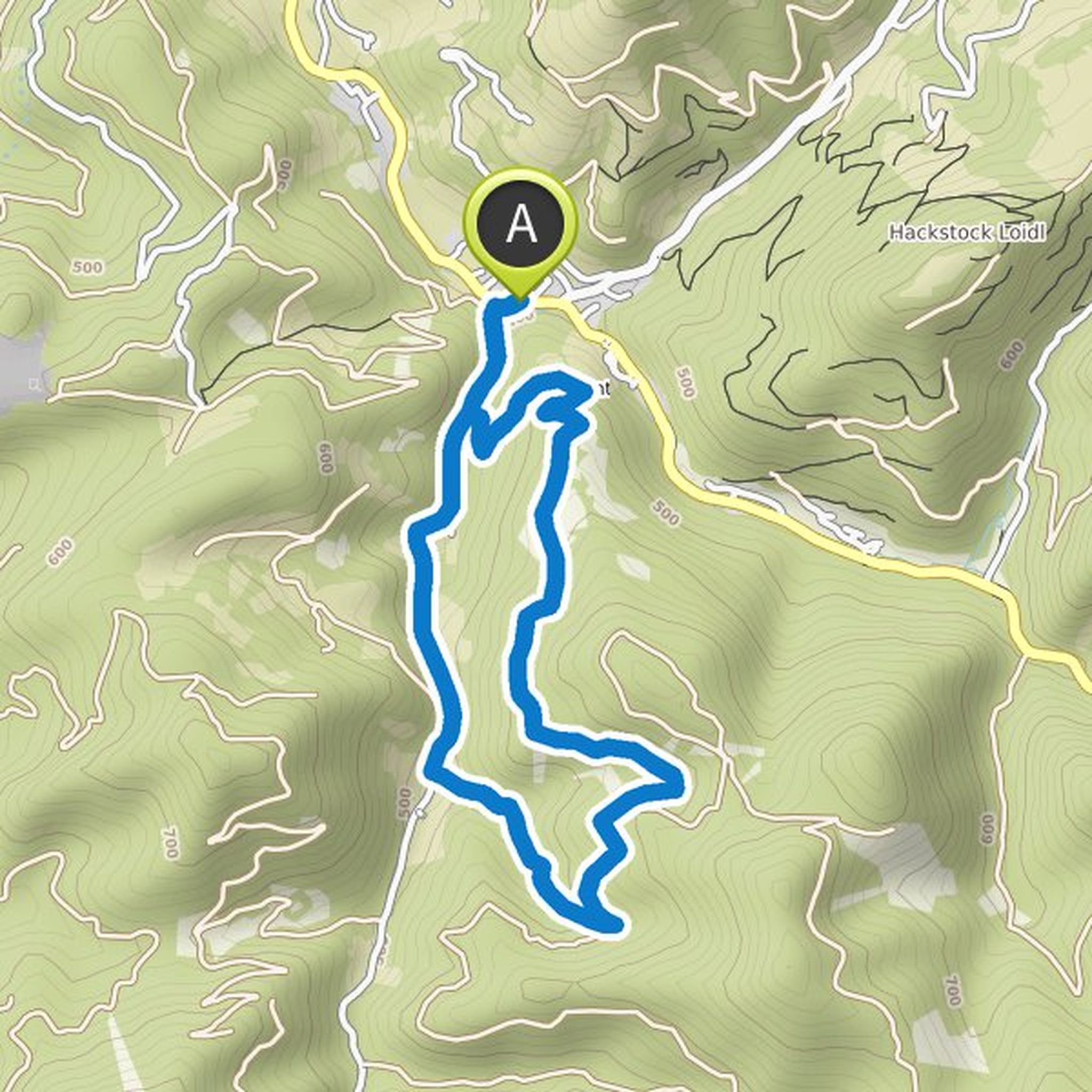
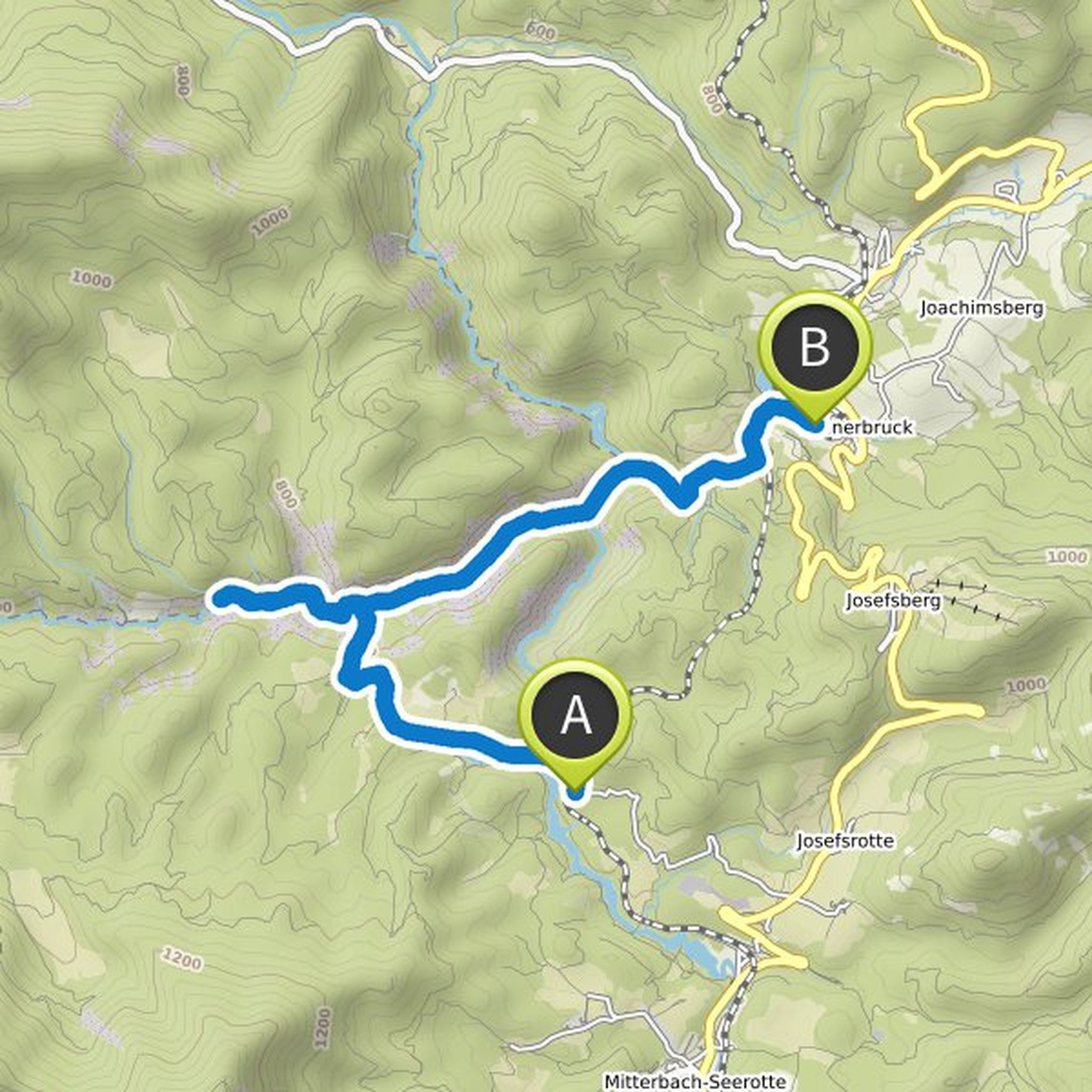
February 6, 2022
Up to Antonsee on foot on the left side of the Jessnitz possible (over wooden bridge), since the road is quite busy.
On the way back on the very busy road, you can largely avoid it by taking a path uphill to the right over a wooden bridge and then taking the first turn-off steeply down to the left. Then
Translated by Google •
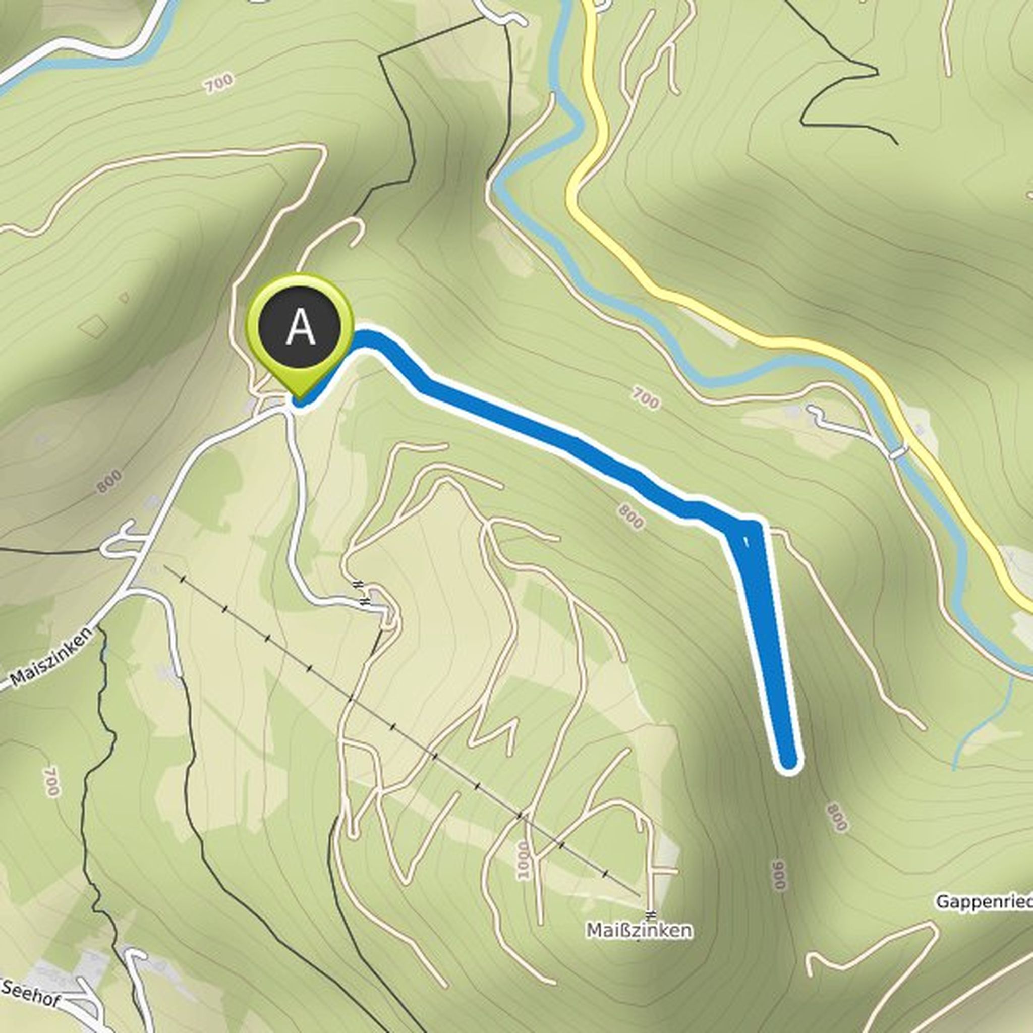
Waldbaden mit Hund planned a hike
November 5, 2019
Time
Distance
Speed
Ascent
Descent
Waldbaden mit Hund planned a hike
November 1, 2019
Time
Distance
Speed
Ascent
Descent
Waldbaden mit Hund planned a hike
November 1, 2019
Time
Distance
Speed
Ascent
Descent
Waldbaden mit Hund planned a hike
October 23, 2019
Time
Distance
Speed
Ascent
Descent
Waldbaden mit Hund planned a hike
October 23, 2019
Time
Distance
Speed
Ascent
Descent
Waldbaden mit Hund planned a hike
October 18, 2019
Time
Distance
Speed
Ascent
Descent
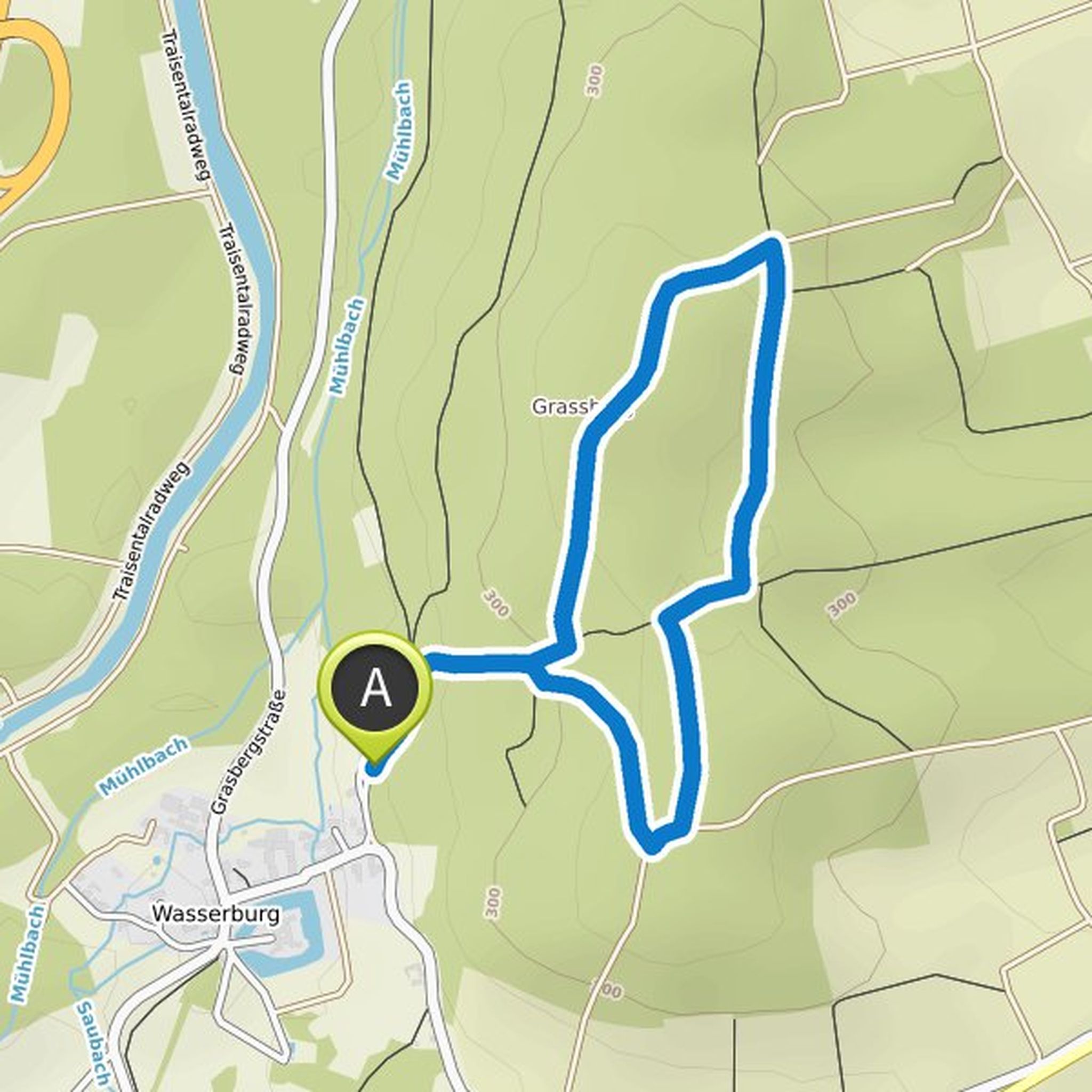
Waldbaden mit Hund planned a bike ride
September 25, 2019
Time
Distance
Speed
Ascent
Descent
truemarmalade likes this.
September 25, 2019
About 30 minutes - slightly uphill (Ötscherland bike path)
Back about 20 minutes - first briefly steep uphill, then long downhill (partly on B1)
Not suitable for dogs
Translated by Google •
Waldbaden mit Hund planned a hike
September 19, 2019
Time
Distance
Speed
Ascent
Descent
Waldbaden mit Hund planned a hike
September 19, 2019
Time
Distance
Speed
Ascent
Descent
Waldbaden mit Hund planned a bike ride
September 19, 2019
Time
Distance
Speed
Ascent
Descent
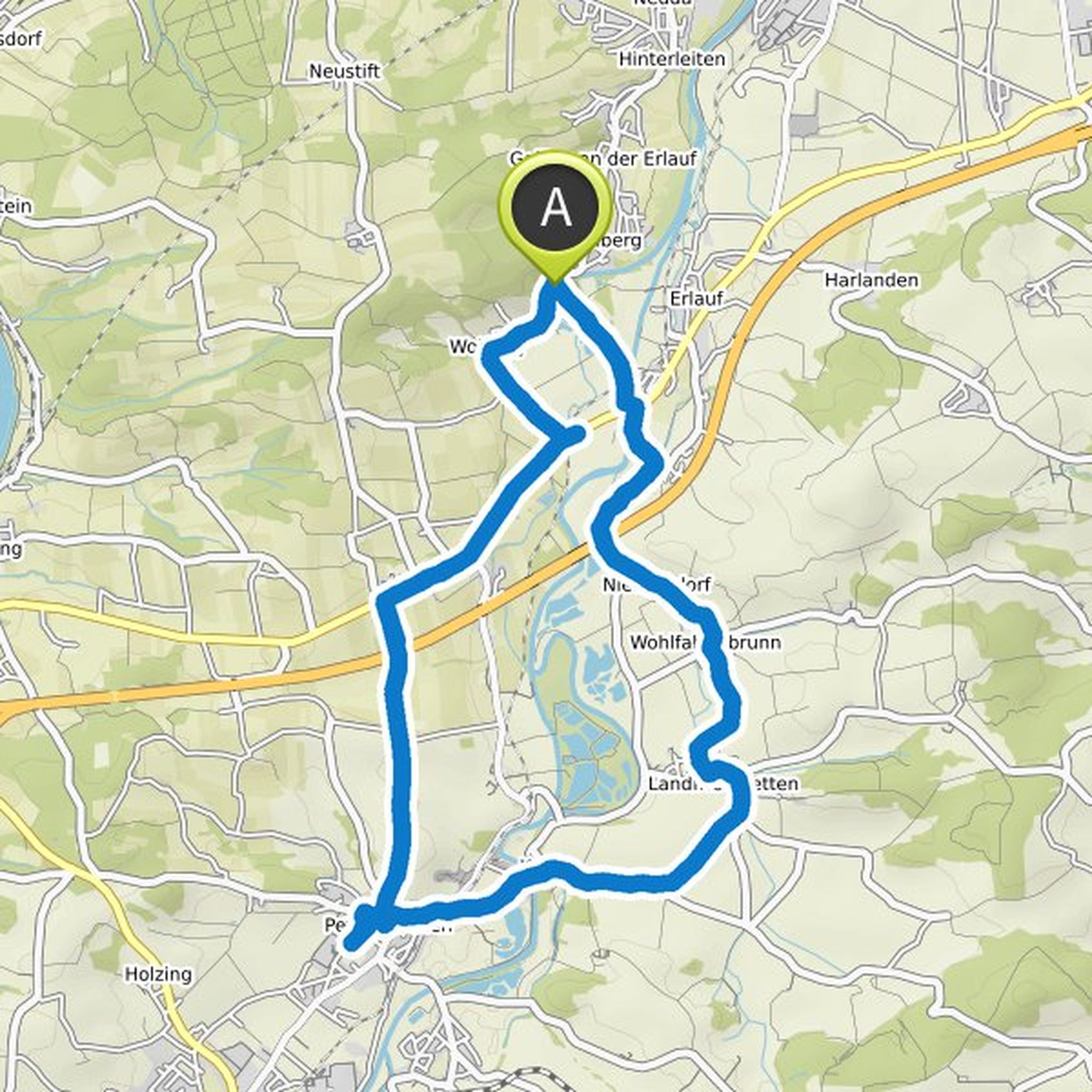
September 19, 2019
Our first bike ride with a dog. Gorgeous autumn day of the week. Quite a lot, on the track. Nevertheless, gone well and beautiful! Again and again unmarked descents to Ybbs from the rest areas.
Translated by Google •
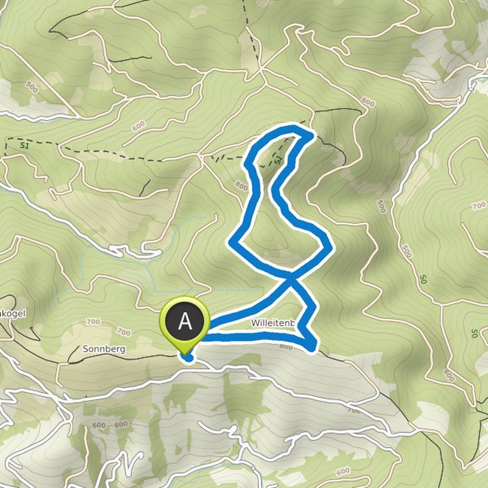
Waldbaden mit Hund planned a hike
September 19, 2019
Time
Distance
Speed
Ascent
Descent
September 19, 2019
I simply drew the offgrid part approximately. Was a very nice, slightly overgrown forest road with beautiful mountain views.
Translated by Google •
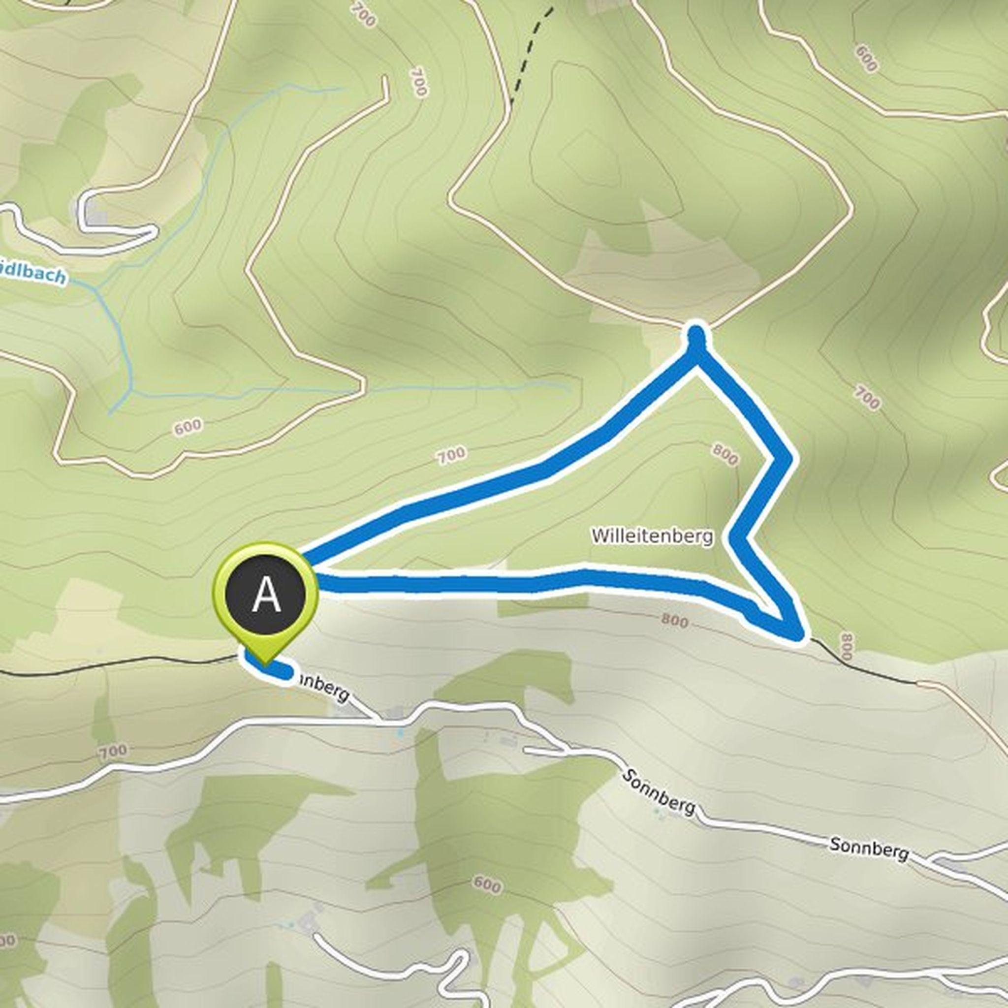
Waldbaden mit Hund planned a hike
September 8, 2019
Time
Distance
Speed
Ascent
Descent
October 23, 2019
Offgrid section: turn right at the picture oak. Are only a few offgrid meters to the next path
Translated by Google •
September 9, 2023
mostviertel.at/a-der-oetschergipfel