Timeline
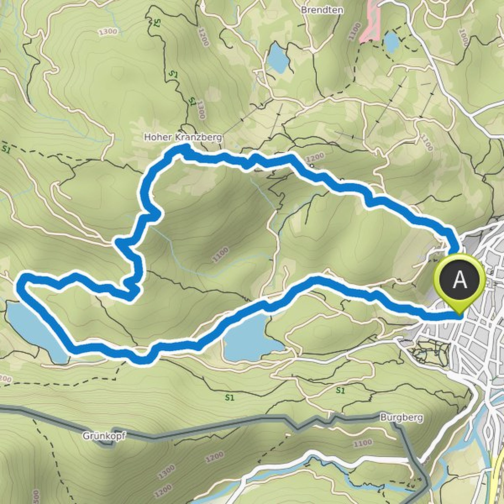
Time
4h37m
Distance
11.9km
Speed
2.6km/h
Ascent
710m
Descent
700m

Map data © OpenStreetMap contributors
Time
4h03m
Distance
11.0km
Speed
2.7km/h
Ascent
640m
Descent
640m

Map data © OpenStreetMap contributors
Time
4h34m
Distance
11.4km
Speed
2.5km/h
Ascent
820m
Descent
820m

Map data © OpenStreetMap contributors
Mijo and others planned a hike
October 12, 2019
Time
3h00m
Distance
8.24km
Speed
2.8km/h
Ascent
480m
Descent
480m

Map data © OpenStreetMap contributors
Time
3h34m
Distance
10.8km
Speed
3.0km/h
Ascent
490m
Descent
490m
Map data © OpenStreetMap contributors